The weather can feel chaotic, but a lot of it boils down to something surprisingly simple: the atmosphere often organizes into big, semi-stable chunks of air with a shared “personality.” Meteorologists call those chunks air masses. Once you know how they are labeled, forecast language like cP or mT stops looking like alphabet soup and starts reading like a preview of what is about to step outside your front door.
What an air mass is
An air mass is a large body of air, often spanning hundreds to thousands of miles, that has fairly uniform temperature and moisture throughout. “Uniform” does not mean perfectly identical from edge to edge. It means the differences inside the air mass are small compared with the differences between that air mass and a neighboring one.
Think of it like a giant sponge that has been sitting in one place long enough to soak up the local conditions. If it sits over cold, snow-covered land, it becomes cold and dry. If it sits over warm ocean water, it becomes warm and humid.
How air masses form
Air masses are “trained” in what meteorologists call a source region: a broad area with relatively uniform surface conditions where air can linger for days. For a source region to build a coherent air mass, you generally need:
- Big, uniform terrain such as oceans, deserts, ice sheets, or wide plains.
- Light winds so the air stays put long enough to take on the surface temperature and moisture.
- Stable weather patterns (often linked to high pressure) that discourage constant mixing with other air.
Once an air mass forms, larger wind patterns can steer it into new regions. It will keep many of its original temperature and humidity fingerprints, even though the edges can change and the air can be modified along the way.

Moisture labels
The first part of most air-mass codes tells you where the air picked up its moisture characteristics.
Continental (c)
Continental air masses form over land. Because land surfaces usually have less available water than oceans, continental air is often drier.
- What it often feels like: lower humidity, bigger day to night temperature swings, clearer skies more often (not always).
Maritime (m)
Maritime air masses form over oceans and large seas, where evaporation can load the air with water vapor. Maritime air is typically more humid.
- What it often feels like: stickier air in warm seasons, more clouds and precipitation potential, fog potential near coasts.
Temperature labels
The second part of the code tells you whether the air mass is primarily warm or cold based on the thermal character of its source region. Latitude is a useful shortcut for that, but season and surface type matter a lot, too.
Tropical (T)
Tropical air masses form in warmer source regions. They are warm, and if they are maritime, they are often very humid.
Polar (P)
Polar air masses form in colder source regions. They are cold compared with mid-latitude air and can be either dry (continental) or moist (maritime). In some setups, especially outside winter, they may feel more cool than truly cold.
Arctic (A)
Arctic air masses form in very cold source regions, often over ice and snow. They are typically very cold and often quite dry at the surface.
You will sometimes see equatorial (E) mentioned in textbooks, but it is less commonly used in everyday North American forecasting than T, P, and A. Air-mass labels can also vary a bit by institution and region.

Reading the codes
Air-mass shorthand usually combines a moisture letter and a temperature letter.
- cP = continental polar (cold + dry)
- mP = maritime polar (cool to cold + moist)
- cT = continental tropical (hot + usually dry)
- mT = maritime tropical (warm + humid)
- cA = continental arctic (very cold + usually dry)
That code is not a full forecast by itself, but it is an excellent first guess at what kind of day you are about to get.
One more nuance: some conventions add extra letters, like k and w, to show whether the air is colder or warmer than the surface it is moving over. Not every forecast uses these, but you might occasionally see them in textbooks or specialized products.
What each air mass brings
Real weather depends on season, local geography, and what happens along the edges of the air mass. Still, these usual suspects show up again and again.
cP: continental polar
- Core traits: cold, dry air
- Common weather: crisp visibility, low humidity, chilly nights; lake-effect snow can occur if cP air moves over comparatively warm water
mP: maritime polar
- Core traits: cool to cold, moist air
- Common weather: lots of clouds, drizzle or steady precipitation, blustery conditions, coastal fog in some setups
mT: maritime tropical
- Core traits: warm, humid air
- Common weather: muggy conditions, haze, heavy downpours and thunderstorms if the air is lifted
- Quick example: when mT air surges into the central and eastern United States in summer, it often sets the stage for sticky days and pop-up storms, and for severe storms if a strong front arrives.
cT: continental tropical
- Core traits: hot, usually dry air
- Common weather: heat waves, low humidity in many regions, large temperature drops after sunset in desert environments
cA: continental arctic
- Core traits: intensely cold air
- Common weather: dangerous wind chills when winds pick up; very dry air at the surface, but snow can occur when the air is forced to rise or picks up moisture downwind of open water
Why fronts matter
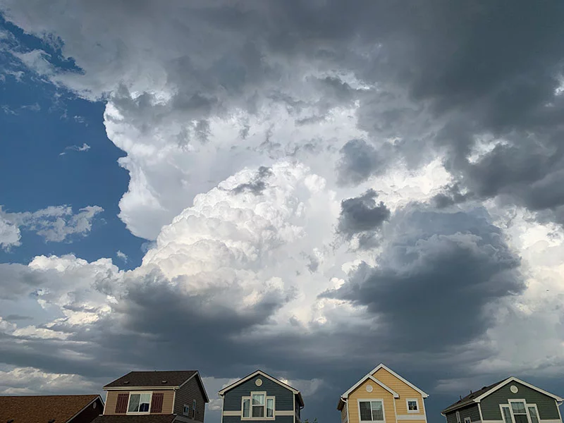
If an air mass is the chunk of atmosphere, a front is the boundary where two different chunks meet. Forecasts get dramatic near fronts because sharp contrasts in temperature and density create imbalances. Denser air undercuts lighter air, and the lighter air is forced to rise. When warm, moist air runs into cold, dry air, you often get:
- Rising motion as one air mass is lifted
- Cloud formation as rising air cools and water vapor condenses
- Precipitation if condensation becomes widespread enough
- Wind shifts as pressure patterns reorganize around the boundary
So air masses are the background cast, and fronts are where the plot twists tend to occur.
Read an air mass fast
When you see a code like mT or cP, ask two questions:
- Land or water? That tells you about humidity and cloud potential.
- Warm or cold source region? That tells you whether the air tends to be warm or cold.
Then add one more reality check: what path did it take to get here? Air masses can be modified as they travel. A cold, dry air mass that passes over warm lakes can pick up moisture and become much snowier downwind. A humid maritime air mass that moves inland can dry out with time if it stops being fed by evaporation.
FAQ
Is an air mass the same thing as a high pressure system?
Not exactly. High pressure is a pressure pattern. An air mass is a body of air with shared temperature and moisture characteristics. High pressure often helps form or maintain an air mass because it tends to bring calmer, more stable conditions, but the two terms are not interchangeable.
How big is an air mass?
They are typically huge, often stretching hundreds to thousands of miles across and several miles up into the atmosphere. That scale is why an air mass can dominate a region’s weather for days.
Can two air masses mix?
Yes. The atmosphere is always mixing to some degree. But air masses can stay recognizable because the mixing is often slow compared with how quickly the broader pattern moves, and because the core of the air mass can remain relatively uniform even as its edges get modified.
Why does cP air sometimes bring snow if it is “dry”?
“Dry” means low moisture content at its source, not zero moisture forever. If cP air crosses open water or is lifted over terrain or along a front, it can generate clouds and snow despite starting out moisture-starved.
The takeaway
An air mass is a giant volume of air that picked up a particular temperature and moisture personality in a source region. The simple labels, c versus m and T versus P versus A, are shorthand for that origin story. And once you learn to read the story, a forecast stops being a list of surprises and starts to feel like a set of clues you can actually follow.