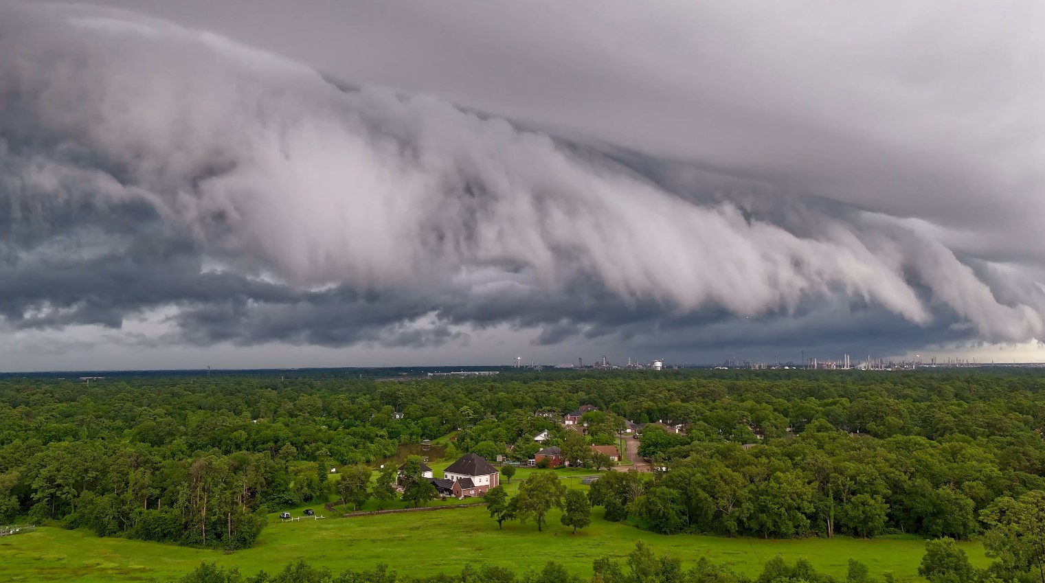
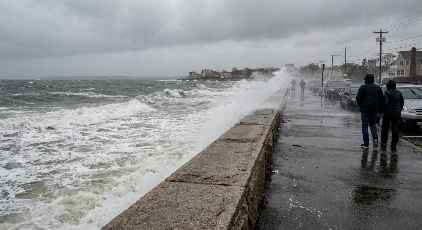
If you have ever looked outside on a gray day and thought, “This weather is taking its sweet time,” you have basically described a warm front. Unlike the punchy, line-in-the-sand vibe of a cold front, a warm front tends to be a slow, steady takeover. It is warm air arriving, but doing it politely, by sliding up and over the colder air that is already parked at the surface.
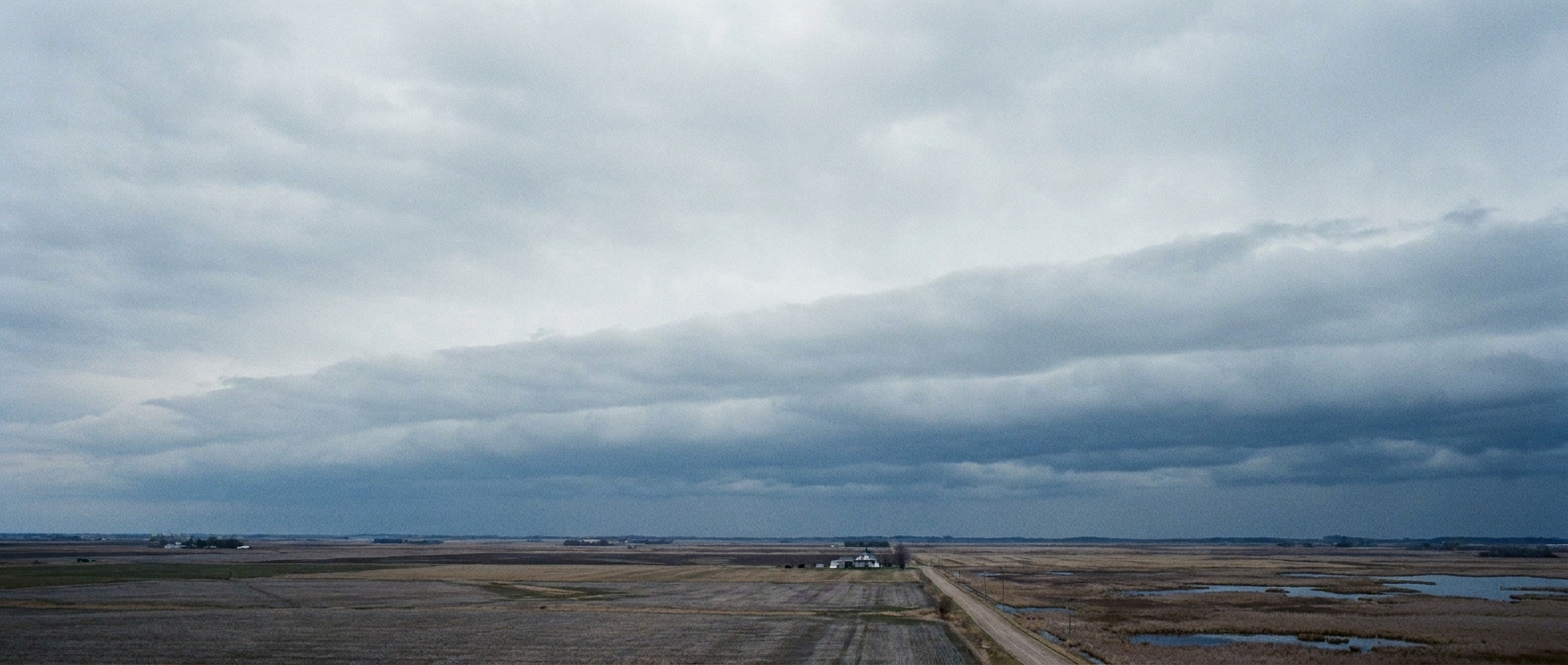
That gentle “ramp” of rising air is the whole story. Once you understand the ramp, the clouds you see, the longer bouts of precipitation, and the wintertime switch from fluffy snow to slippery ice to cold rain all make a lot more sense.
Warm front, in plain language
A warm front is the boundary where a warmer air mass is advancing into a region of colder air. But instead of bulldozing the cold air out of the way, the warm air usually glides up over it.
Why does the warm air rise? In meteorology, “warm” air is generally less dense than “cold” air, so it tends to float above it. Picture two fluids where one is lighter than the other. The lighter one rides up. In the atmosphere, that means warm air moving in at low levels is forced to climb a sloped surface over the cold air near the ground.
This is the key geometry: warm fronts are typically shallow in slope. The lifting is widespread and gradual rather than abrupt, which is why warm-front weather can feel like it unfolds in chapters.
What happens along that gentle slope
Air that rises expands and cools. Cooling air cannot hold as much water vapor, so water vapor starts to condense into tiny droplets or ice crystals. That is how a warm front builds cloud layers.
Because the warm air is being lifted over a broad area, you often get:
- Widespread clouds that can arrive many hours before the front itself reaches you.
- Steady precipitation that can last for hours, sometimes longer, instead of a quick downpour.
- Lower ceilings and poorer visibility as clouds thicken and sink toward the ground.
If you have ever watched a forecast that calls for “clouds thickening through the day, rain arriving late,” that is classic warm-front storytelling.
The layered clouds you often see before a warm front
Warm fronts are famous for producing layered, stacked cloud types because the lifting happens gently and continuously. The exact sequence depends on moisture and stability, but a common progression goes something like this as the front approaches:
- High, thin clouds appear first (often a veil-like look).
- Mid-level layers spread in, turning the sky into a smoother gray.
- Thicker, lower layers develop as the air continues to rise and saturate.
- Persistent precipitation clouds set in, producing steady rain or snow.
To your eyes, this can look like the sky is slowly lowering its lid: bright to hazy, hazy to overcast, then overcast to wet.
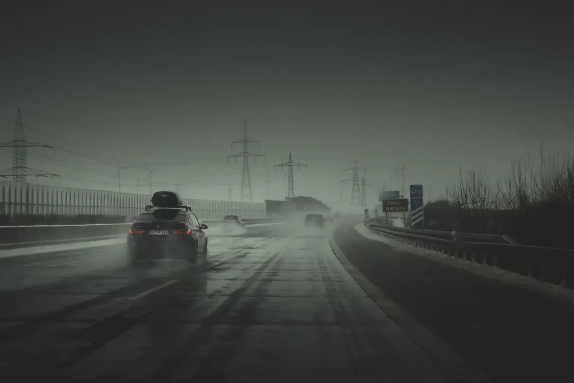
One more subtlety: warm fronts can also bring fog, especially when warmer, moist air moves over colder ground or snowpack. The air near the surface cools toward saturation, and suddenly your neighborhood looks like it is exhaling.
Why warm fronts bring longer-lasting rain or snow
A warm front’s precipitation is often more stratiform in character, meaning spread out and steady. The reason is mechanical: the lifting is distributed along that long, shallow ramp. That produces broad regions of gentle ascent instead of the narrow, forced lift you might see with a steep boundary.
That does not mean warm fronts are always mild. If the incoming warm air is very moist, you can still get substantial rainfall. But the vibe is usually “all-day soaker” rather than “blink-and-you-miss-it storm line.”
As a quick contrast only: a cold front tends to have a steeper slope, which can shove air upward more abruptly and focus heavier weather into a narrower band. Warm fronts are the slower, wider-angle version of atmospheric lifting.
Warm fronts in winter: how snow turns into ice and rain
Winter warm fronts are where meteorology gets a little sneaky, because the temperature can vary a lot with height. You might step outside in below-freezing air, but a few thousand feet up, warmer air may already be sliding in overhead.
That setup can create a temperature sandwich:
- Cold near the ground (at or below 32°F, 0°C)
- A warm layer aloft (above freezing)
- Colder air higher up where snow originally forms
Here is how the precipitation type can evolve as the warm front advances:
1) Snow
Snowflakes form high in the cloud where it is cold. If the air stays below freezing all the way down, you get snow at the surface. Early in a winter warm-front event, this is common.
2) Sleet (ice pellets)
If snow falls into a warm layer aloft, it can partially or fully melt into raindrops. If those drops then fall into a deeper subfreezing layer near the ground, they can refreeze into small pellets before hitting you. That is sleet. It bounces. It is annoying. It can also improve traction compared with freezing rain, which brings us to the next one.
3) Freezing rain (glaze ice)
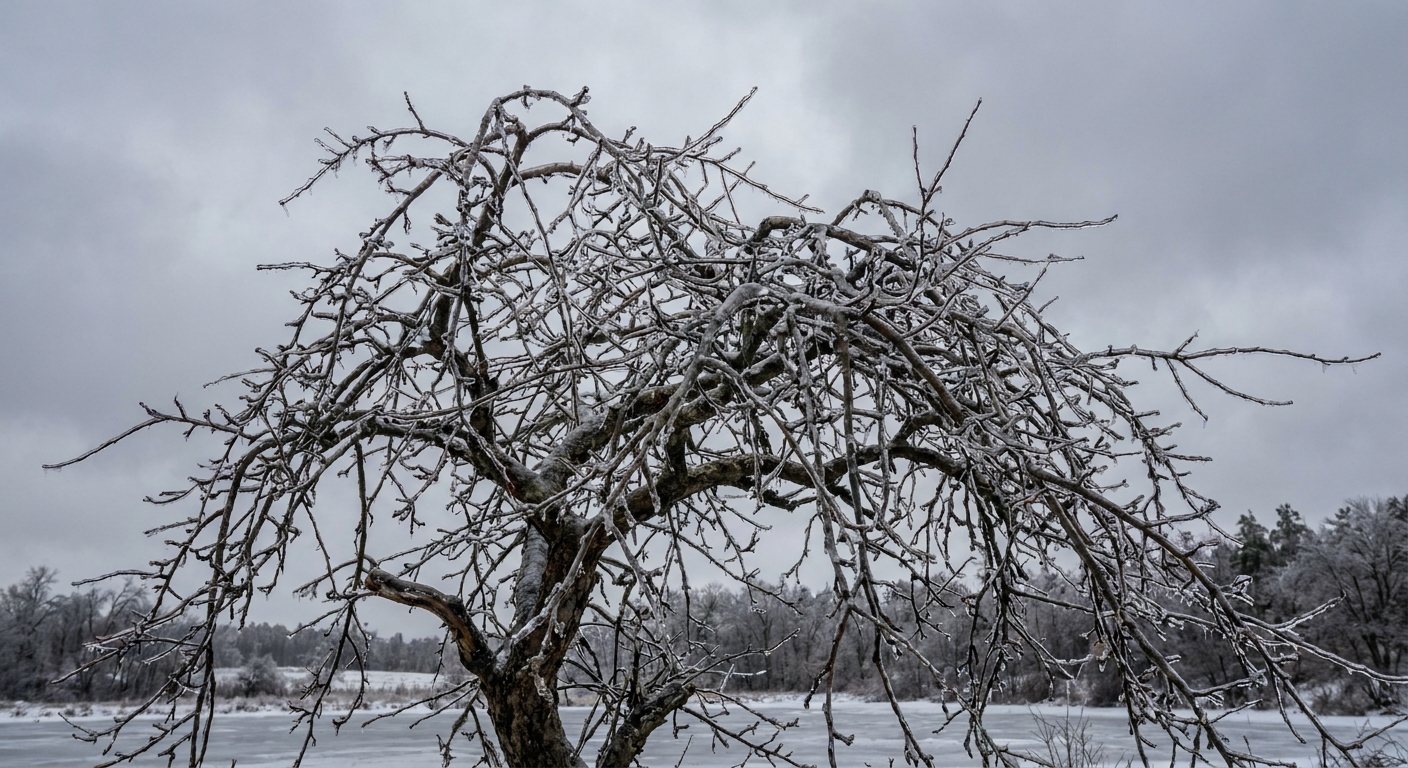
If the near-surface cold layer is shallow, raindrops do not have time to refreeze into sleet. Instead they become supercooled, meaning liquid water below freezing. When those drops hit roads, branches, and power lines, they freeze on contact. That is freezing rain, and it is the prime ingredient for the kind of ice storm that turns sidewalks into curling rinks.
4) Plain rain
As the warm front progresses, the warm air eventually wins closer to the ground. Once the surface temperature climbs above freezing, precipitation falls as rain.
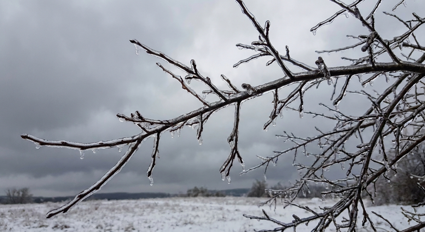
This is why warm fronts can be such a big deal for winter travel. The most dangerous period is often not the heaviest precipitation, but the moment the atmosphere flips from “snowy” to “glassy.”
What you might notice before, during, and after a warm front
Every storm system is its own personality, but warm fronts often come with a recognizable set of clues.
Before the front arrives
- Clouds increase and thicken over time
- Precipitation may begin while it is still relatively cool
- In winter, wintry mix becomes more likely as warm air arrives aloft first
As the front moves through
- Temperatures generally trend upward
- Humidity rises and the air can feel damper
- Winds often shift as the air mass changes
After the front passes
- Air is warmer, often more humid
- Low clouds and drizzle can linger depending on the setup
One teacherly reminder I still carry around in my head: a “warm front” does not guarantee you feel warm immediately. The warm air can arrive overhead first while the ground layer stays cold for a while, especially over snow-covered terrain.
Warm front vs. cold front (one-minute contrast)
If you only remember one contrast, make it this:
- Warm front: warm air slides up over cold air along a gentle slope, usually bringing layered clouds and longer-lasting precipitation.
- Cold front: cold air tends to push under warm air more aggressively, often focusing weather into a narrower zone and producing faster changes.
Both are boundaries. The difference is the way the air is being lifted and how concentrated that lift is.
Quick warm-front FAQ
Does a warm front always mean rain?
No. It can bring snow, sleet, or freezing rain in winter, and sometimes just clouds if moisture is limited. The “front” is the boundary and lifting mechanism. The precipitation depends on available moisture and the temperature profile.
Why can it start precipitating before the front reaches me?
Because the lifting happens along a broad, sloped surface ahead of the front. Clouds and precipitation can develop well in advance of the surface boundary.
Why do warm fronts feel so slow?
The slope is typically gentle, and the associated weather covers a wider area. Instead of a sharp line moving through quickly, you get a gradual progression of cloud layers and steady precipitation.