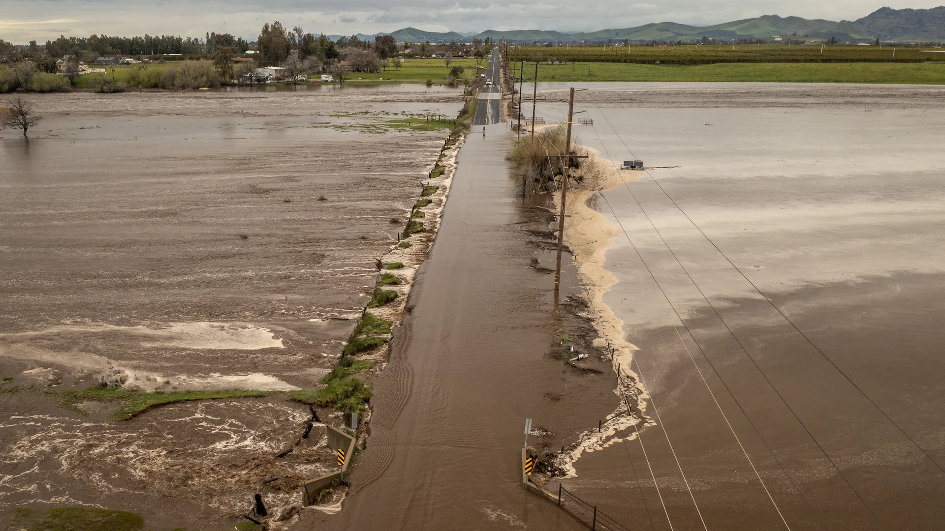
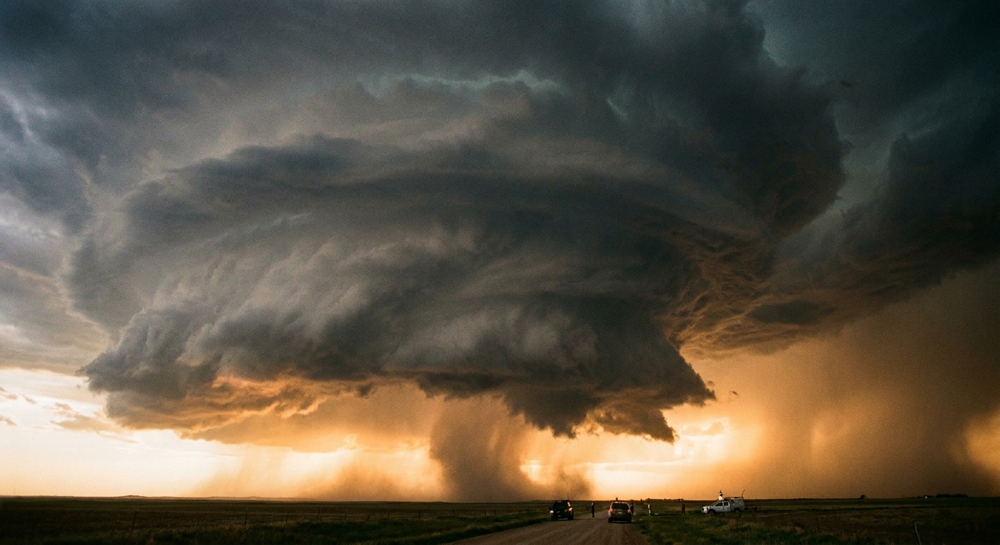
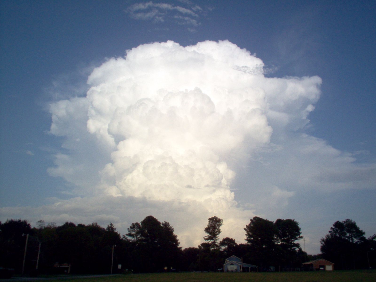
If you have ever stepped outside and thought, “It smells like rain and the wind just snapped around,” you’ve felt a cold front arriving.
A cold front is the leading edge of a colder, denser air mass that is moving in and replacing warmer air at the surface. On a weather map, it is not a wall of cold. It is a moving boundary where the atmosphere is rearranging itself, often quickly and dramatically.
The basic idea: cold air wedges underneath
Air has mass, and cold air is usually denser than warm air. When a cold air mass advances, it behaves a bit like a slow-motion snowplow. It slides under the warmer air ahead of it and forces that warm air to rise.
That upward push matters because rising air expands and cools. If it cools enough, water vapor condenses into cloud droplets. That is the start of cloud formation, and sometimes, the start of precipitation and storms.
What you are actually crossing
When a cold front passes your location, you are moving from the warm side of the boundary into the colder air mass behind it. The front itself is a relatively narrow zone compared with the huge air masses on either side.
Why cold fronts can bring showers or storms
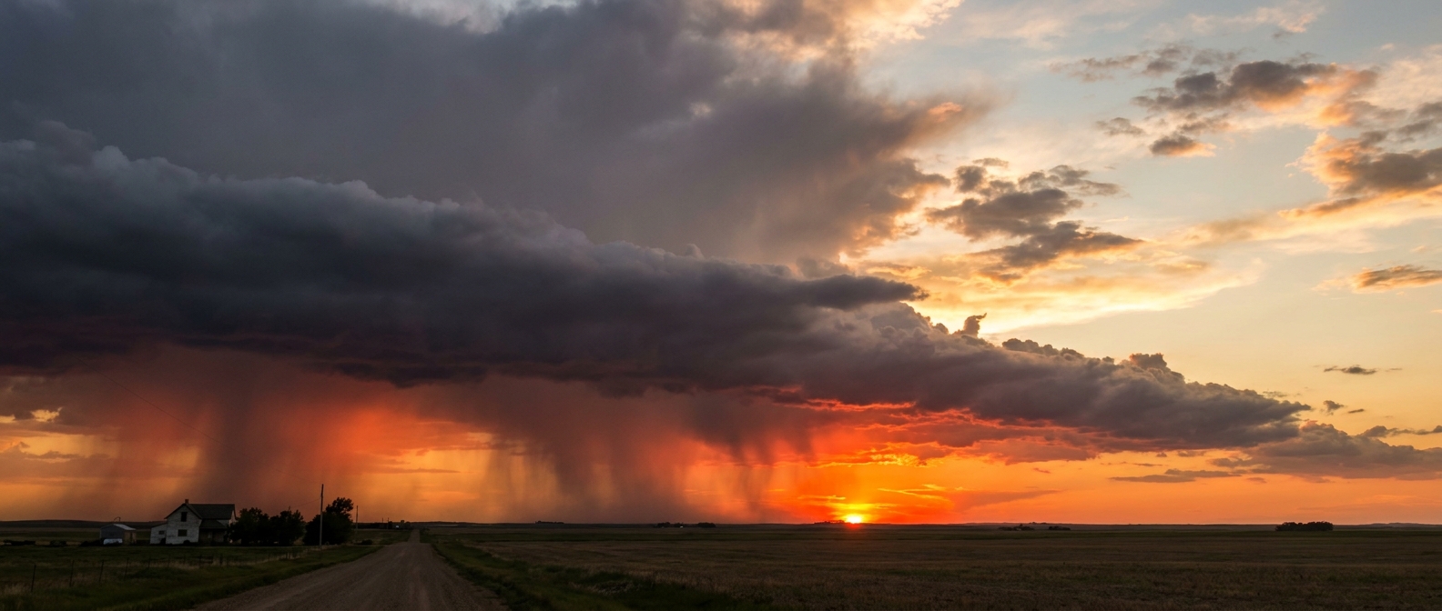
Cold fronts are famous for a thin, fast-moving stripe of active weather. On radar, it can look like a line or broken line of showers and thunderstorms. The reason comes back to that strong, focused lifting, especially when the warm air ahead of the front is humid and unstable:
- Warm air rises quickly along the front, which can build tall clouds.
- Moisture and instability on the warm side can feed thunderstorms.
- Wind shear near fronts can help storms organize into lines.
Not every cold front produces thunderstorms, and not every front is just a skinny line of rain. If the air is dry, stable, or the front is weak, you might only get a wind shift and a cloud change, or a brief period of light showers. In other setups, precipitation can spread out into a broader area, or you can get multiple bands of showers.
The signature changes
If I had to boil a cold front down to what most people notice, it is a three-part before-and-after story.
1) A wind shift
Near the surface, winds often blow more along fronts than straight across them. As the front passes, the wind direction can swing noticeably, even if it does not do it the exact same way every time. In many parts of the United States, for example, winds ahead of the front can be from the south or southwest, then shift to west or northwest behind it. The “snap” in direction is a classic clue.
2) A temperature drop
Behind a cold front, temperatures usually fall because the air mass replacing the warm air is, well, colder. The drop can be gentle or dramatic. In summer, it might feel like relief. In winter, it can feel like the bottom fell out of the day.
3) Often lower humidity and clearing skies
In many setups, cold fronts are followed by air that is drier and more stable, which can mean improving weather after the front’s rain band moves through. That is why you sometimes get a gorgeous, crisp day right after a front: cleaner air, higher visibility, and a fresh breeze. Still, some post-frontal air masses stay fairly moist and can bring low clouds, stratocumulus, or scattered showers for a while.
Cold front vs warm front
Cold fronts and warm fronts are both boundaries between air masses. The difference is which air mass is advancing and how the boundary is shaped in 3D.
Cold fronts: steeper lift
A cold front typically has a steeper slope. The denser air undercuts the warm air more aggressively, so the warm air is shoved upward faster. Faster lift tends to favor narrower regions of clouds and precipitation, and it can support thunderstorms if the ingredients are there.
Warm fronts: gentler lift
A warm front occurs when warmer air advances and slides up and over cooler air near the ground. Because that lift is usually gentler and spread out over a broader area, warm fronts often bring widespread layered clouds and longer periods of light to moderate precipitation ahead of the surface front.
So, if a cold front is a quick shove, a warm front is more like a slow ramp.
How a cold front looks on a map
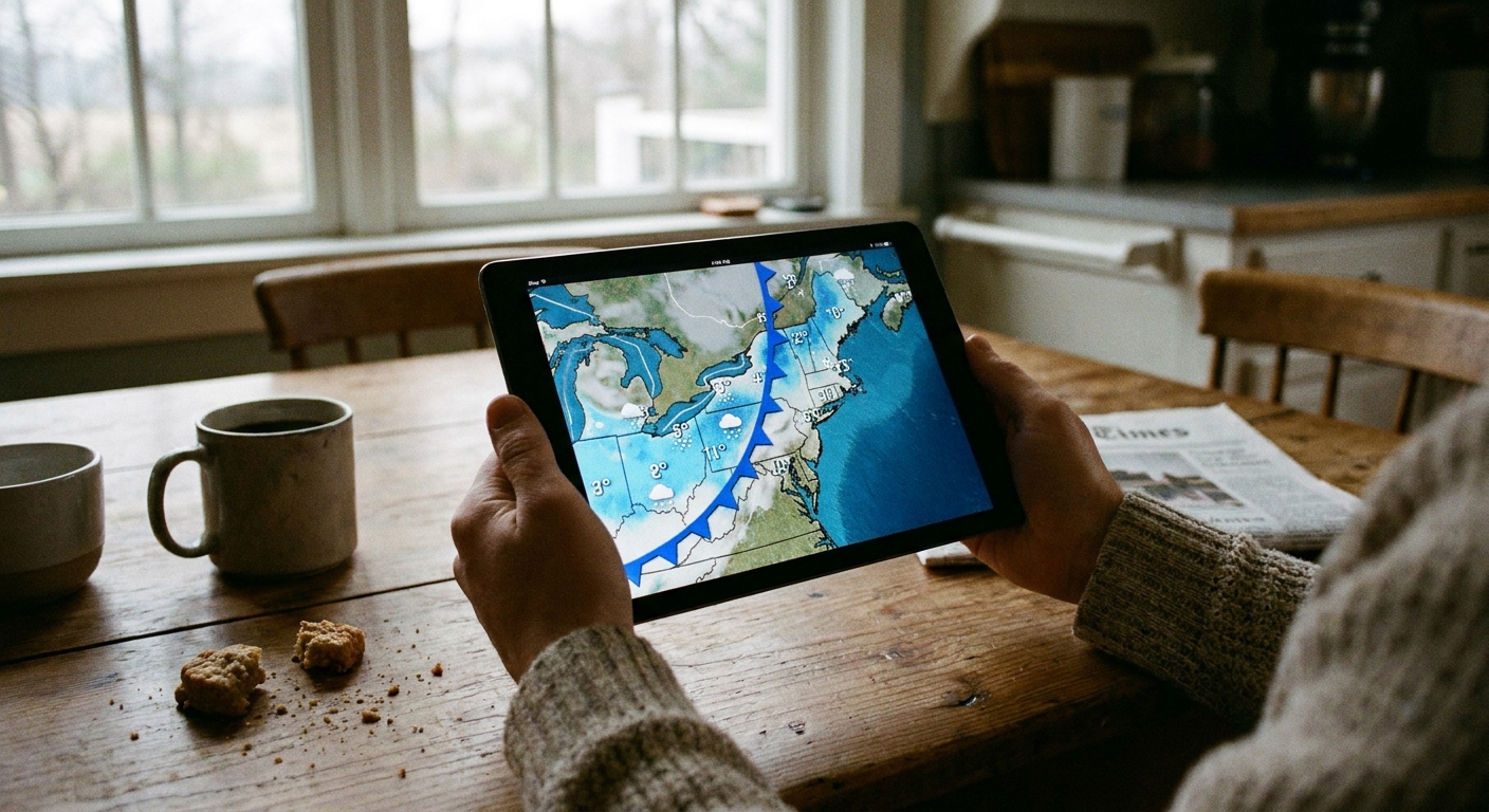
On standard surface weather maps, a cold front is commonly drawn as a line with triangles pointing in the direction the colder air is moving. That symbol is shorthand for the front’s motion and the advancing cold air mass.
But remember: the map symbol is a 2D sketch of a 3D boundary. The real atmosphere has depth, and the front can tilt, curve, and change strength as it moves. At any one location, the main “frontal passage” might happen in minutes to a few hours, while the boundary itself can stretch hundreds of miles.
Cold front facts and myths
Does a cold front always mean rain?
No. A cold front is a boundary and a wind and temperature change. Whether you get rain depends on moisture, stability, and lift. You can absolutely have a “dry” cold front that mainly brings breezier air and cooler temperatures.
Why does it get windy with a front?
Fronts often sit between areas of different pressure. As the front moves through, the pressure pattern changes, and the atmosphere responds with stronger winds. Also, thunderstorms along a cold front can produce their own intense gusts.
Can a cold front cause severe weather?
Yes, especially when warm, humid air ahead of the front is unstable and wind shear is present. Squall lines, damaging straight-line winds, hail, and tornadoes can occur in the right setup. If storms are in the forecast, treat the front like a timing cue and take lightning and wind warnings seriously.
Is a cold front the same thing as the polar vortex?
No. A cold front is a moving boundary between air masses on a weather map. The polar vortex is a much larger-scale circulation pattern in the upper atmosphere that can influence where cold air pools and where it spills south.
A quick way to spot one
If you want a simple “backyard forecast” approach, here are a few clues that often show up as a cold front approaches and passes:
- Before: warm or muggy air, increasing wind, building cumulus clouds, sometimes towering cumulus.
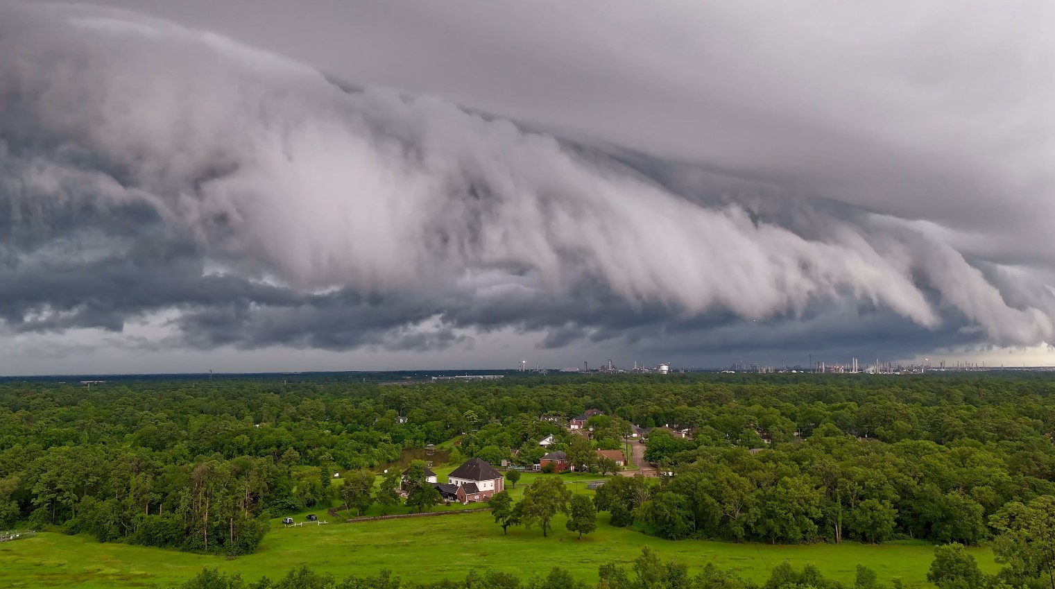
- During: a narrow window of showers or storms, gusty winds, rapid changes, and occasionally a shelf cloud on the leading edge of a storm line.
- After: cooler air, wind shifting direction, and often clearer skies and better visibility, though you can also see post-frontal stratocumulus and spotty showers.
When I was teaching physics, I loved pointing out that you can feel fluid dynamics at work in the real world. A cold front is one of the best examples. It is the atmosphere doing what fluids do: moving, mixing, and settling into a new balance, one gust and cloud at a time.