When I taught high school physics, the “aha!” moment with weather usually happened when students stopped thinking of the atmosphere as “air around us” and started picturing it as a slow, sloshing ocean. Pressure systems are basically the hills and valleys on that invisible ocean surface. High pressure is a hill, low pressure is a valley, and wind is the air’s response to that pressure slope.
(Tiny but important clarification: the push comes from the pressure-gradient force, not gravity pulling air “downhill.” In the real world, Earth’s rotation and surface friction also bend and slow the flow.)
That single picture explains a lot of what you hear in forecasts: “high pressure building in,” “a low moving through,” “gusty winds between systems,” and that classic phrase, “falling pressure ahead of a storm.”
The core difference
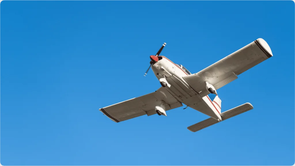
High-pressure systems are areas where air is generally sinking, which tends to discourage clouds and precipitation.
Low-pressure systems are areas where air is generally rising, which tends to encourage clouds and precipitation.
Everything else you notice, wind direction, cloudiness, storminess, comes from those two vertical motions and the way Earth’s rotation nudges moving air sideways.
What “pressure” means
Air pressure is the weight of the air column above you pushing down on the surface. On a weather map, pressure is compared from place to place at roughly the same level (usually reduced to sea level so mountains do not confuse the picture). A “high” means the pressure in that region is higher than nearby areas. A “low” means it is lower than nearby areas.
Two quick clarifiers that prevent common confusion:
- High pressure does not mean “more oxygen” in a meaningful everyday sense. It means the air column has more mass per area, often linked with subsiding, stabilizing air.
- Low pressure does not mean “no air” or a vacuum. It is simply a relative minimum compared with its surroundings.
High pressure
Why sinking air often means fewer clouds
Clouds form when moist air rises, expands, and cools. Cooling makes water vapor more likely to condense into tiny droplets, which is what clouds are.
In a high-pressure system, air tends to sink. As it sinks, it compresses and warms a bit. Warmer air can hold more water vapor without condensing, so clouds have a harder time forming and an easier time evaporating. That is why meteorologists often associate highs with clearer skies.
What highs feel like
- Calmer weather and more sunshine are common, especially near the center of the high.
- Big temperature swings can happen if skies are clear. Strong daytime heating, then faster nighttime cooling.
- Stagnant air is possible when winds are light, which can allow haze or pollution to build up.
Important nuance: highs do not guarantee perfect weather. A high can still bring cloud decks in some setups, and coastal highs can steer in marine layer fog. But “high pressure equals generally more stable air” is a good starting rule.
Low pressure
Why rising air makes storms possible
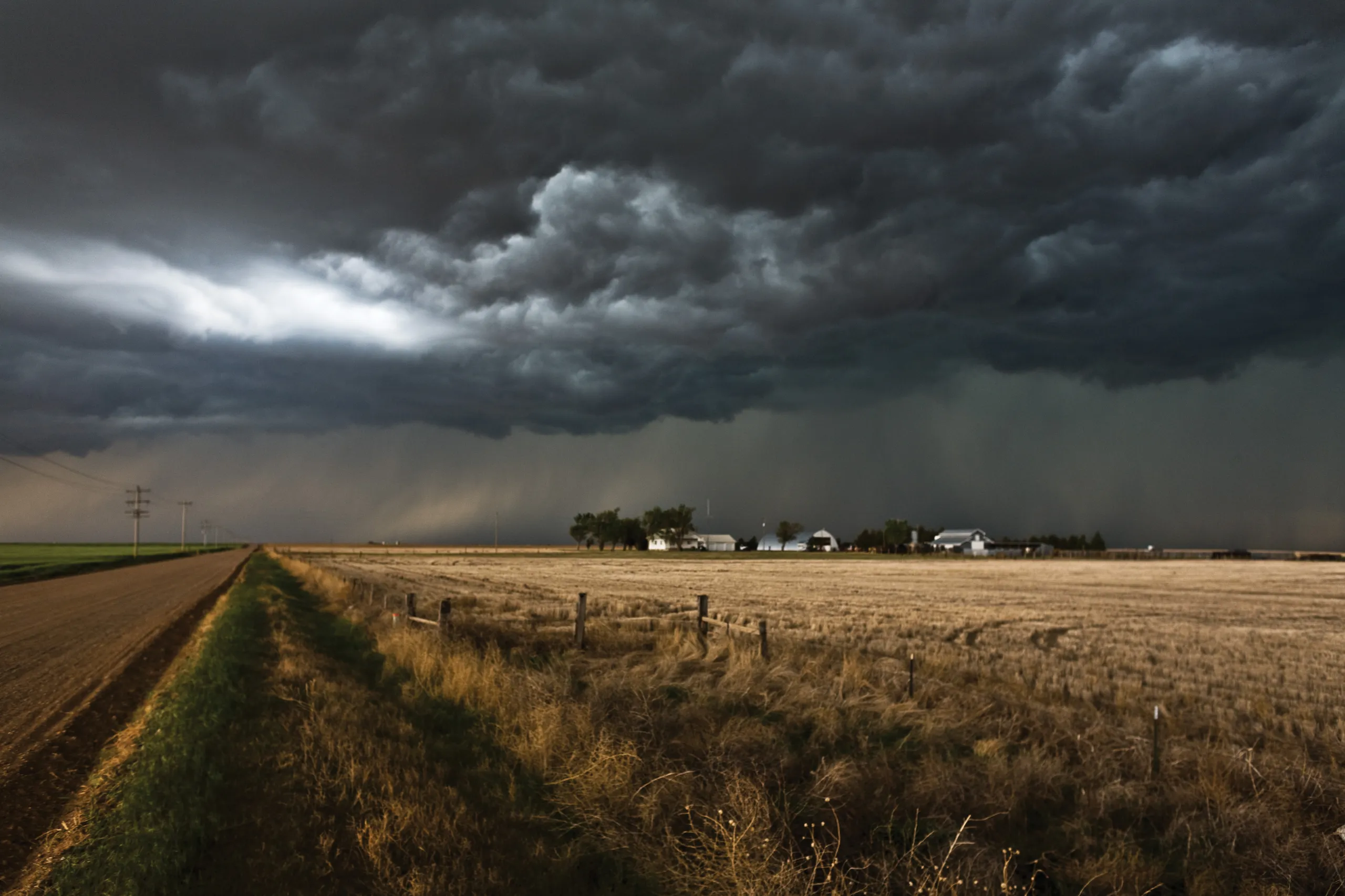
In a low-pressure system, air tends to converge near the surface and rise. Rising air expands as pressure decreases with height, which cools it. Cooling nudges water vapor toward condensation, building clouds. If the rising motion is strong enough and the moisture supply is there, you can graduate from clouds to rain or snow.
That is why many forecasts treat an approaching low as “unsettled” weather. It is not that lows are magical storm factories, it is that they provide the lift that clouds and precipitation need.
What lows feel like
- More cloud cover, often thickening as the low approaches.
- Higher odds of rain or snow, especially near fronts attached to the low.
- Windier conditions if the pressure difference between the low and surrounding areas is large.
Wind around H and L
If you only memorize one weather-map trick, make it this: in the Northern Hemisphere, winds generally spin one way around highs and the opposite way around lows. This comes from the pressure-gradient force pushing air from higher pressure toward lower pressure, plus the Coriolis effect deflecting moving air to the right.
Around high pressure (H)
- Clockwise circulation around the center
- Outward flow overall (air diverges at the surface)
Around low pressure (L)
- Counterclockwise circulation around the center
- Inward flow overall (air converges at the surface)
One more real-world detail: friction near the ground makes wind cross isobars slightly. So instead of flowing perfectly parallel to pressure lines, surface winds angle a bit from high toward low. That inward or outward leak is what helps highs feed sinking motion and lows feed rising motion.
If you are in the Southern Hemisphere, the spin directions reverse: highs tend to rotate counterclockwise and lows clockwise.
How to read a map
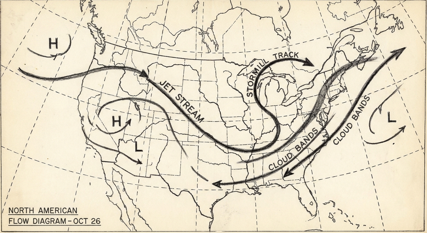
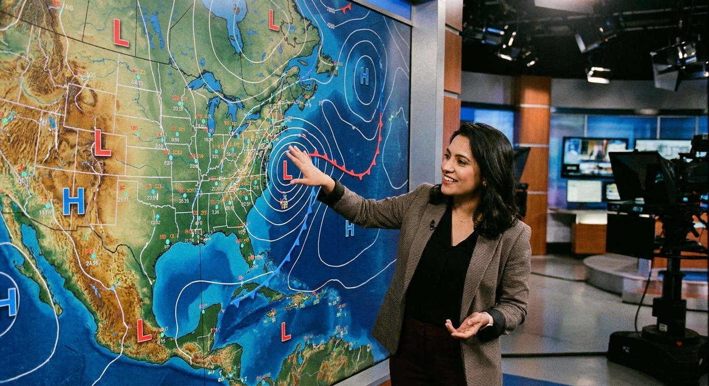
On a surface map, you will often see a bold H or L stamped near the center of a system, surrounded by curving lines called isobars. Isobars connect places with the same air pressure, kind of like contour lines on a topographic map.
What to look for
- Tight isobar spacing usually means stronger winds. A quick everyday translation is tight lines on the map often match the kind of day when it is hard to keep a hat on.
- Wide isobar spacing usually means lighter winds.
- Lows often have fronts attached. Cold fronts and warm fronts mark boundaries between air masses and are common zones for clouds, showers, and thunderstorms.
- Highs are often front-free in their core, but can steer fronts around them.
When a meteorologist says “the low will track northeast” or “high pressure is building in from the west,” they are talking about where those H and L centers are moving on the map, and how that motion shifts winds and moisture transport.
One last point that clears up a lot of confusion: you can have ridges and troughs aloft that do not perfectly line up with the surface H and L. Forecast discussions often mention both because the upper-level pattern helps steer and strengthen what you feel at the ground.
Forecast language
Weather forecasts use pressure shorthand because it is a clean way to summarize the atmosphere’s mood. Here is what common phrases typically imply.
“High pressure builds in”
- Skies often trend clearer
- Winds may ease
- Temperatures depend on season and air mass, but conditions often feel more stable
“Low pressure moves through”
- Clouds increase ahead of it
- Rain or snow becomes more likely, especially along fronts
- Winds can pick up, then shift direction as the system passes
“Strong pressure gradient”
- A fancy way of saying pressure changes fast over distance
- Expect breezy to windy conditions, even if skies are clear
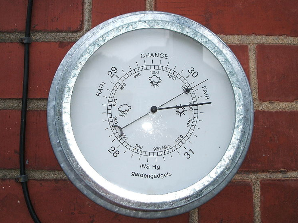
“Falling pressure”
- Often signals an approaching low or an intensifying storm system
- By itself it does not guarantee rain at your exact location, but it raises the odds of unsettled weather
Hot and cold myths
A common misconception is that high pressure equals heat and low pressure equals cold. In reality, pressure is more about motion than temperature.
- A winter high can bring clear, calm nights that allow heat to radiate away, leading to very cold mornings.
- A summer high can bring lots of sun and sinking air, which can boost heat and suppress thunderstorms, sometimes contributing to multi-day heat waves.
- A low can pull in warm air on one side and cold air on the other. That clash is why many lows come with sharp temperature changes.
So when you look at an H or L, think “air behavior,” then look to the air mass and season to figure out hot versus cold.
Quick mental model
If you want a sticky, everyday way to remember this, picture a slow-motion fountain and drain:
- High pressure is like air gently pressing downward, spreading out at the surface. That discourages cloud building.
- Low pressure is like air gathering and lifting upward. That encourages cloud building and, if moisture is available, precipitation.
Then add the Northern Hemisphere spin: highs clockwise, lows counterclockwise.
FAQ
Does a low-pressure system always mean rain?
No. Lows increase the odds because they promote rising air, but you still need enough moisture and the right temperature profile. Some lows are dry lows, especially in arid regions.
Why is it windy between a high and a low?
Wind is driven by differences in pressure. When a high and low sit near each other, the pressure changes quickly over distance. That steep change is a strong pressure gradient, and air accelerates.
Is the wind direction the same at all altitudes?
Not exactly. Higher up, winds experience less friction and tend to flow more parallel to isobars. Near the surface, friction makes winds cross isobars more, which supports convergence into lows and divergence out of highs.
What do meteorologists mean by “the low is deepening”?
It means the central pressure is dropping and the system is intensifying. A deepening low often tightens isobars and can support stronger winds and more robust storm dynamics, although the exact impacts depend on the storm track and where the tightest gradient sets up.