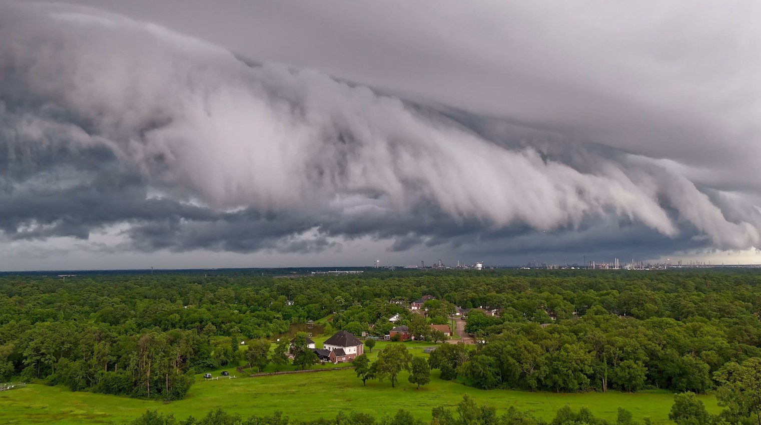
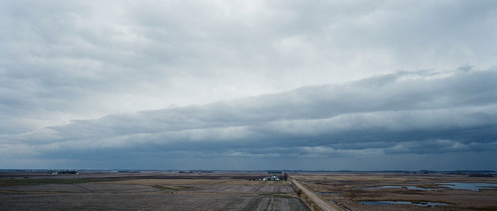
The first time I taught pressure systems to a room full of teenagers, I brought in a cheap analog barometer and tapped the glass like it was a mood ring. The needle had one job: tell us what the air above our heads was doing. By the next day it had slid lower, and right on schedule, the sky turned that flat gray that looks like it is holding its breath.
That is the basic idea behind a falling barometric pressure reading. It is not magic, and it is not a guaranteed rain alarm. It is the atmosphere shifting into a pattern that often makes storms more likely.
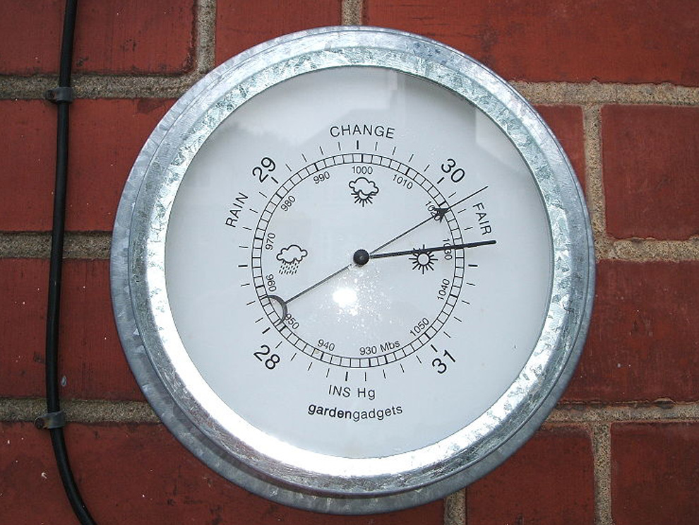
What a barometer measures
A barometer measures air pressure, meaning how hard the weight of the atmosphere is pressing down on a given area. You can think of it like this: you are at the bottom of an ocean of air. The barometer tells you how heavy that ocean is right now.
Most home weather apps and barometers report pressure in one of these units:
- hPa (hectopascals) or mb (millibars), which are numerically the same in weather reporting (1013 hPa equals 1013 mb).
- inHg (inches of mercury), common in the United States (about 29.92 inHg is near average at sea level).
Important context: the absolute number depends a lot on elevation. Pressure is lower in Denver than at the beach even on a perfectly calm day. That is why forecasters and many apps use sea-level pressure, which adjusts your reading as if you were at sea level so locations can be compared fairly.
If you see both station pressure and sea-level pressure in an app, station pressure is the raw local reading at your elevation. Sea-level pressure is the elevation-adjusted version. For weather watching and comparing to forecasts, sea-level pressure is usually the more useful number, while the trend is useful in either form.
Why falling pressure can mean worse weather
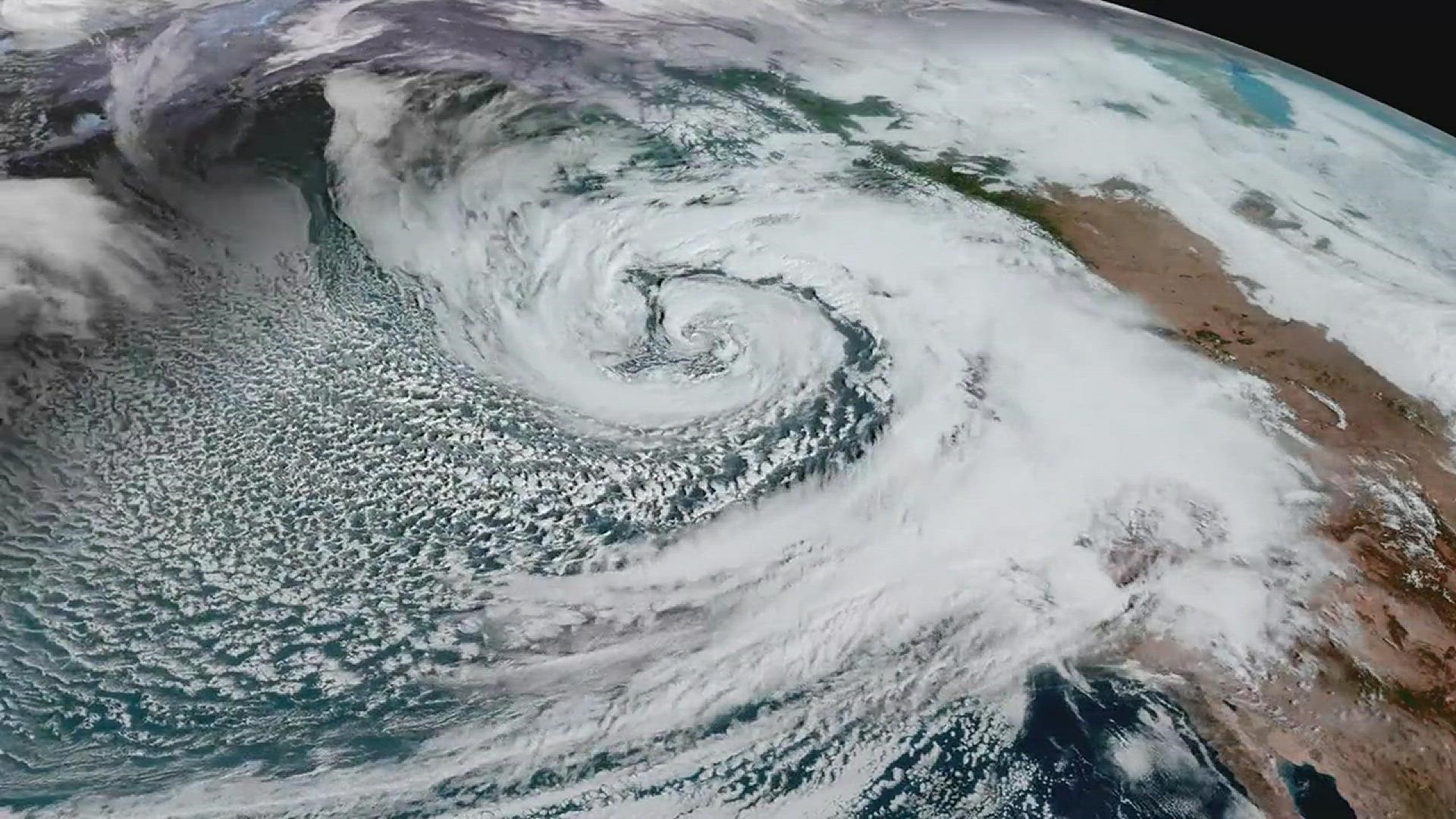
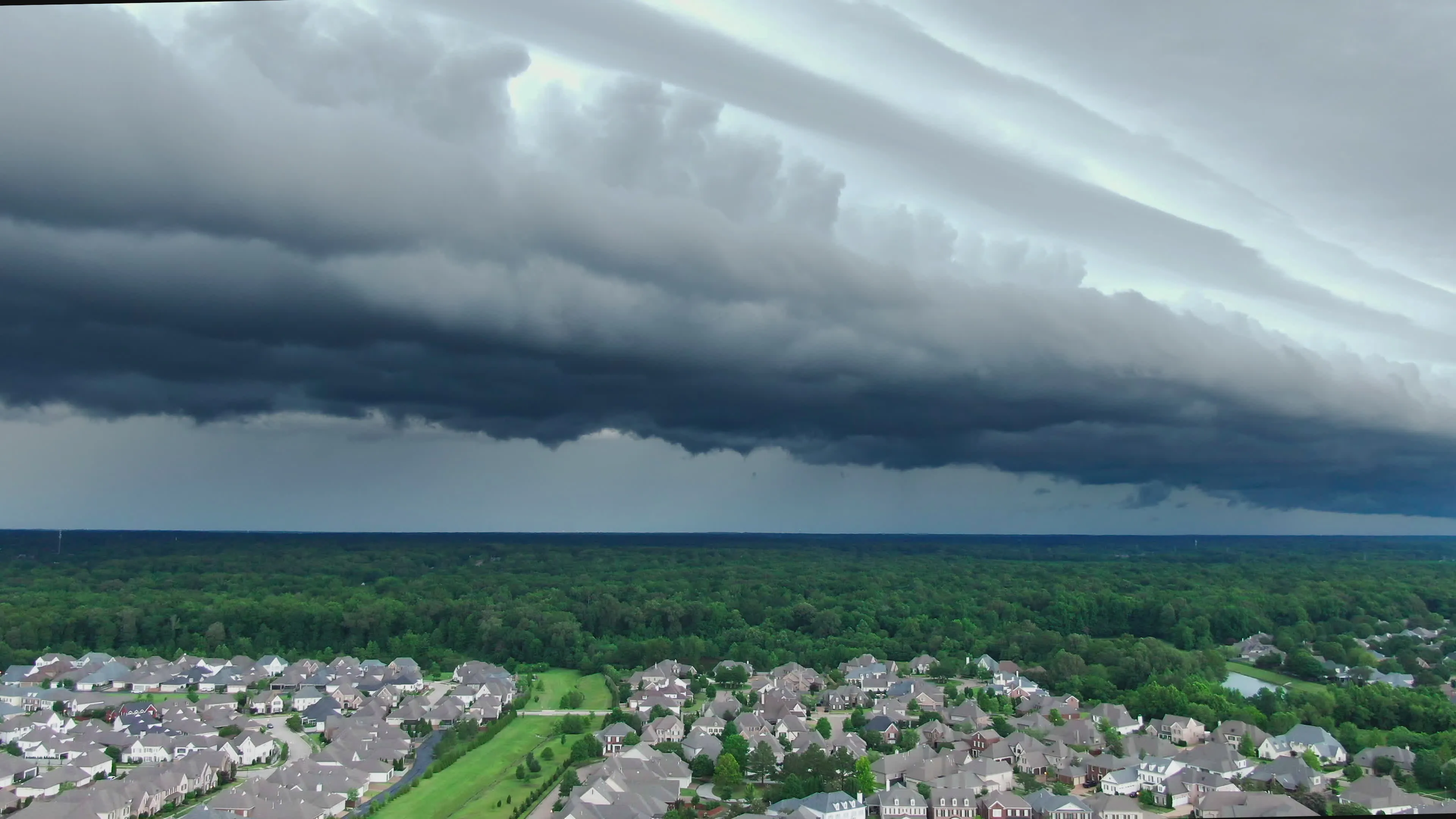
In everyday weather, a falling barometer usually means a low-pressure system is approaching or strengthening nearby.
Low pressure is not inherently bad, but it tends to be storm-friendly for a simple reason: air flows toward low pressure. As air converges near the surface, it has to go somewhere, so it is encouraged to rise. Rising air expands and cools. Cooler air has a lower saturation vapor pressure, which means it reaches saturation more easily. That makes condensation and cloud formation more likely. Add enough moisture and lift, and you get precipitation.
Meanwhile, the pressure difference between the low and the surrounding higher pressure can tighten into a stronger pressure gradient. That often shows up as gustier winds as the system moves in.
Slow fall vs rapid fall
A single pressure number is like a single frame of a movie. The trend is the plot.
Slow fall
A slow, steady drop often suggests a more gradual transition: a broad low-pressure area is getting closer, or conditions are trending unsettled over the next day or two.
- Often: increasing cloud cover, a shift in wind direction, light rain later, or generally changeable conditions.
- Timing can be longer: many hours to a day.
Rapid fall
A quick drop is a bigger red flag for active weather because it implies the nearby pressure field is changing fast. That can happen when a more intense low is deepening, or a strong front is approaching. A front is the boundary between two air masses, usually different in temperature and humidity, and it is a common place for clouds, wind shifts, and precipitation to organize.
- Often: strengthening winds, faster cloud thickening, heavier precipitation, or a higher chance of thunderstorms depending on the season and region.
- Timing can be shorter: a few hours.
As a brief aside, meteorologists sometimes talk about rapid storm intensification in terms of how much the central pressure drops in about 24 hours. The classic benchmark is latitude-dependent, and it is mainly a way to classify particularly intense mid-latitude storms. For daily life, the key skill is simpler: watch how fast your pressure is changing where you are.
Two examples with real numbers
Here are two before-and-after snapshots using sea-level pressure, with both common unit styles.
Example 1: a slow fall
- Yesterday evening: 1018 hPa (about 30.06 inHg)
- This evening: 1012 hPa (about 29.88 inHg)
A 6 hPa drop over a day is noticeable but not dramatic. You might expect clouds to increase and the chance of rain to rise, especially if humidity is already up.
Example 2: a rapid fall
- 3 p.m.: 1013 hPa (about 29.92 inHg)
- 9 p.m.: 1003 hPa (about 29.62 inHg)
That is a 10 hPa drop in 6 hours. In many settings, that kind of plunge lines up with a stronger system and a quicker ramp-up in wind and precipitation.
Numbers alone cannot tell you what type of storm is coming, but the speed of the fall can help you decide whether keep an umbrella handy is enough, or whether it is time to secure loose outdoor items and check a forecast.
If you like rules of thumb, this is a practical way to think about it: a few hPa over 24 hours is a nudge toward unsettled weather, while several hPa over just a few hours is a louder signal. The exact meaning still depends on your region and the season.
Other reasons pressure can fall
Yes, falling pressure can happen without dramatic weather. A few common reasons:
- Daily pressure tides: the atmosphere has subtle, global-scale pressure oscillations that happen everywhere. They are often more noticeable in the tropics and are usually small compared with storm signals in the mid-latitudes.
- Local heating and cooling: strong daytime heating can help carve out a shallow thermal low, and coastal sea-breeze circulations can shuffle pressure around locally. Either can produce a gentle dip without immediate rain.
- Altitude changes: if your barometer is in your car, or your smartwatch barometer is on your wrist, going up a hill looks like falling pressure because it is literally thinner air.
- Calibration and sea-level adjustments: home stations can be set incorrectly, making values look off even when the trend is still useful.
Read a barometer like a forecaster
If you want your barometer to feel less like a mysterious needle and more like a practical tool, use this short checklist:
- Track the trend, not the absolute number. Ask: is it rising, steady, or falling?
- Note the rate. A gentle slide over a day is different from a drop you can watch in an afternoon.
- Pair it with what you see. Falling pressure plus thickening clouds and increasing wind is a stronger signal than pressure alone.
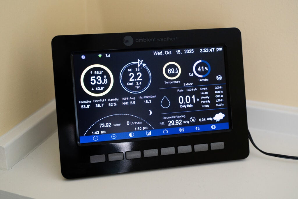
- Know your sensor. Indoor barometers can drift a bit when you are cycling HVAC, opening windows, or moving air through the house. The trend is still useful, but do not obsess over tiny wiggles.
- Remember your region and season. In some places, a falling barometer in winter often means a storm. In other places, it might mean a breezier day and scattered showers.
Quick FAQ
Does falling barometric pressure always mean rain?
No. It means the atmosphere is trending toward lower pressure, which often supports cloudier, windier, and wetter conditions, but moisture and lift still have to line up for rain to actually happen.
What pressure is low?
There is no single magic cutoff that works everywhere because elevation changes the baseline. At sea level, values below about 1013 hPa (29.92 inHg) are below average, but what matters most is how your current value compares to what is typical for your location and how quickly it is changing.
Why do my joints or headaches feel worse when pressure falls?
Some people report sensitivity to pressure changes, possibly connected to how tissues respond to small pressure differences or to weather factors that travel with falling pressure such as humidity and temperature shifts. The science is mixed, but the timing many people notice is real in the everyday sense: pressure drops often arrive with broader weather changes your body can feel.
Is a smartphone barometer accurate enough to use?
Often, yes for trends, with one big caveat: phones move. A change in elevation, even a few floors in a building or a drive across town, can swamp the weather signal. Many phones also apply smoothing or corrections behind the scenes. If your phone has been in roughly the same place for several hours and you see a steady fall, that signal is usually meaningful.
The takeaway
A falling barometric pressure reading usually means a low-pressure system is approaching or intensifying, which often increases the odds of clouds, wind, and precipitation. A slow fall points to a gradual shift toward unsettled weather, while a rapid fall is a stronger hint that conditions may change quickly. In practice, your best move is to watch the trend and rate, then cross-check what you see outside and what the forecast says.
If you ever want a fun experiment, set a barometer where you can see it, and keep a tiny weather journal for a week. Those aha moments still happen, even when you are not in a classroom.