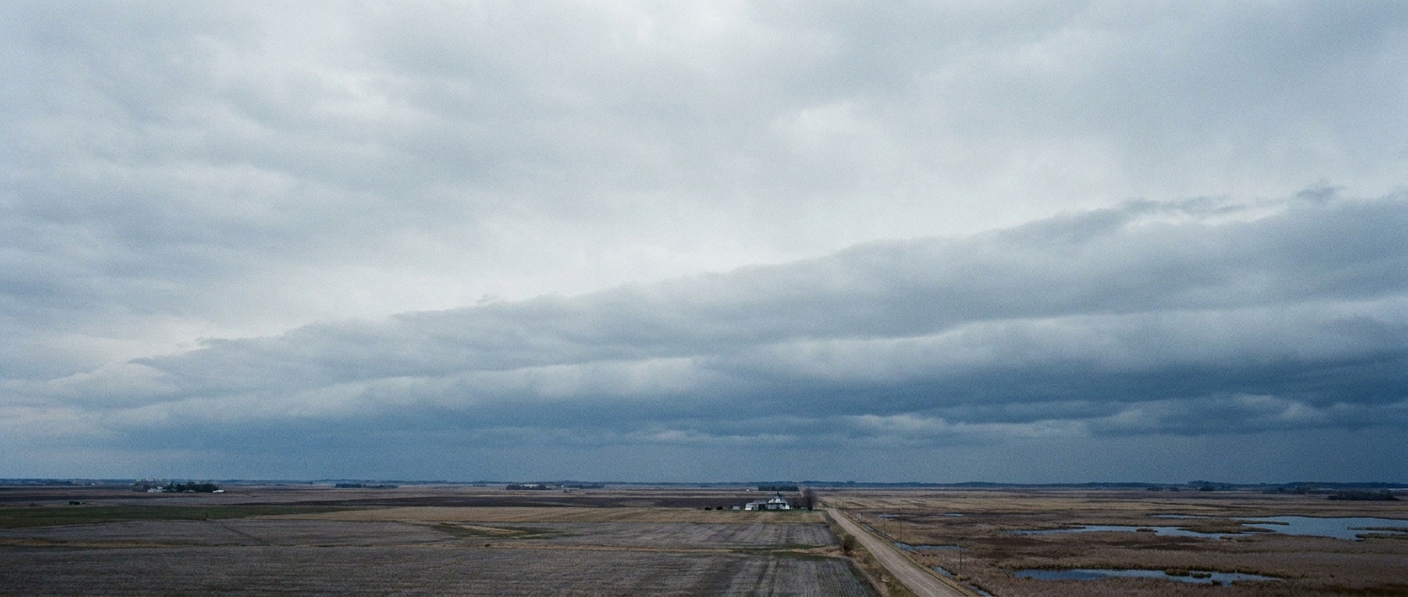
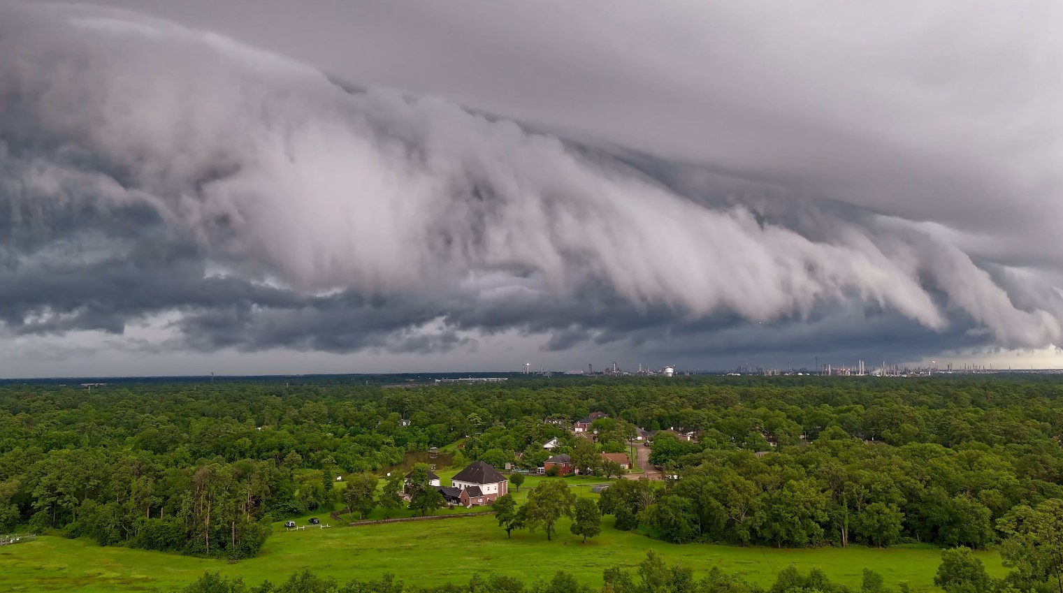
I used to start first period with a weather question on the board, partly to wake up sleepy teenagers and partly because the sky is the best physics lab you will ever get for free. Fog was always a favorite because it feels mysterious until you learn the trick: fog is not “smoke” or “thin rain.” It is a cloud that decided to live at ground level.
Fog forms when air near the surface becomes saturated, meaning it holds as much water vapor as it can at that temperature. Once the air cools to its dew point (or moisture is added until the dew point is reached), water vapor condenses onto tiny airborne particles and becomes countless microscopic droplets suspended in the air. Those droplets scatter light, and suddenly the world looks like someone turned the contrast knob down.
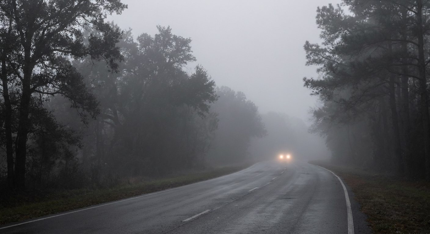
Fog in one sentence: a ground-level cloud
Clouds and fog are made of the same basic stuff: liquid water droplets (and sometimes ice crystals) floating in air. The difference is altitude. In meteorology, we call it fog when the cloud base drops to the surface and visibility near the ground becomes significantly reduced. A common operational cutoff used by many weather services is visibility under 1 km (about 0.6 miles).
There are two main ways to hit saturation:
- Cool the air until the temperature reaches the dew point (the most common pathway).
- Add moisture to the air until the dew point rises to meet the temperature (it happens more often than people think in certain setups, like cold air passing over warmer water or rain evaporating into cooler air).
Once saturation is reached, extra water vapor condenses into droplets. You can think of it like a sponge that is already full. Any more water has to go somewhere, so it pools. In the atmosphere, that “pooling” shows up as droplets suspended in the air.
Three classic setups
Fog types are really just different recipes for getting surface air to saturation. The ingredients are temperature, moisture, wind, and terrain.
1) Radiation fog
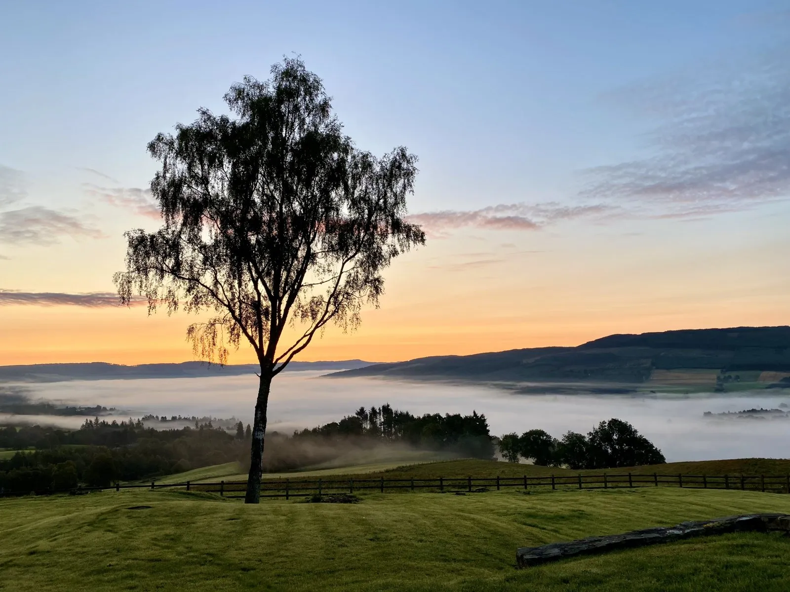
Radiation fog is the classic calm, chilly, early morning fog that forms over fields, valleys, and low-lying areas. The key mechanism is nighttime cooling.
- What sets it up: Clear skies and light winds after a day with some moisture in the air.
- What actually happens: After sunset, the ground loses heat by emitting infrared radiation. The air touching the ground cools too. If it cools to the dew point, fog forms.
- Where it loves to form: Valleys, meadows, near rivers and lakes, and any place where cool air can settle like invisible water.
Why valleys get socked in: Cool air is denser, so it drains downhill at night and pools in low areas. That pooling increases the chance that the valley air reaches the dew point, even if the surrounding hills stay clearer.
2) Advection fog
Advection fog forms when moving air travels over a surface that is colder than the air itself, cooling the air from below until it reaches saturation. Unlike radiation fog, wind is not the enemy here. Wind is part of the recipe.
- What sets it up: Moist air flowing across a colder surface such as cold ocean water, a snow-covered landscape, or a chilly ground after a cold front.
- What actually happens: The surface chills the bottom layer of air. If that cooling brings the air temperature down to the dew point, fog forms and can spread like a blanket.
- Where it loves to form: Coasts (especially where cold currents run offshore), and sometimes inland when mild, humid air slides over cold ground.
This is the fog that can feel stubborn. Because the air is continuously being supplied and cooled by the surface, it can persist through the day, especially along coasts.

3) Upslope fog
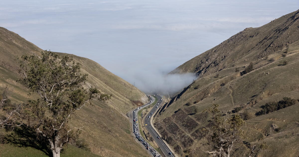
Upslope fog forms when wind pushes moist air up a slope. As the air rises, it expands and cools. If it cools to the dew point, water vapor condenses into droplets and you get fog hugging hillsides and mountain flanks.
- What sets it up: A steady wind blowing toward higher terrain with enough moisture in the air.
- What actually happens: Rising air cools (a basic atmospheric physics rule). Cooling increases relative humidity, and saturation can occur.
- Where it loves to form: Windward sides of hills and mountains, and elevated plateaus when moist air is forced upward.
If you have ever driven uphill into what feels like a cloud bank while the lowlands were clearer, you have met upslope fog.
Other common fog types
The three setups above cover a lot of what people experience day to day, but they are not the whole fog family. A few others show up often, and they are worth knowing because they behave differently.
Evaporation fog (steam fog)
This happens when cold air moves over warmer water (a lake, river, or even wet ground). Water evaporates upward into the cold air, and that added moisture quickly pushes the air to saturation. The result can look like ghostly wisps or “steam” rising off the surface, especially at sunrise.
Frontal or precipitation fog
Sometimes fog forms when rain falls into cooler air near the ground and evaporates a bit on the way down, adding moisture until the air saturates. This can show up along warm fronts and in long, steady rainy stretches.
Freezing fog
When the air temperature is below freezing, fog droplets can become supercooled and freeze on contact with surfaces. That is when you get a thin glaze on bridges, trees, and power lines. It is a quiet hazard because the fog still looks soft and ordinary.
Ice fog
In very cold conditions, especially in places that spend time well below freezing, fog can contain tiny ice crystals. It tends to be a cold-weather specialty, and it can sparkle in headlights or streetlights.
What makes fog thicker
Fog gets thicker when the atmosphere keeps nudging near-surface air deeper into saturation or keeps adding droplets faster than they can evaporate.
- More cooling: Nights that stay clear and calm allow continued radiational cooling, strengthening radiation fog.
- More moisture: Wet ground after rain, irrigation, or nearby water can boost humidity, making it easier to reach the dew point.
- Just enough mixing: Light wind can spread fog horizontally and deepen the saturated layer. Too much wind can mix in drier air and disrupt it.
- Inversions that trap air: A temperature inversion (warmer air above cooler air) acts like a lid, keeping the fog layer from mixing away.
One quick reality check: “Thicker” fog usually means more droplets and or a deeper fog layer, both of which reduce visibility by scattering more light.
What clears fog
Fog clears when the air near the ground stops being saturated. That can happen a few different ways.
Sunlight and warming
Morning burn-off is most common with radiation fog. After sunrise, the ground starts absorbing sunlight and warming. That warmth transfers to the air touching the surface. As temperature rises, the air can hold more water vapor without condensing, so relative humidity drops and the droplets evaporate.
Sometimes the fog does not vanish instantly. Instead, it lifts into a low cloud layer as the surface warms and mixing increases. You might see the fog base rise from the ground into a gray ceiling before it breaks apart.
Wind and mixing
Stronger winds can disrupt fog by mixing drier air downward or by mechanically stirring the surface layer so it no longer stays uniformly saturated. This can shred patchy fog into wisps. But remember: advection fog can actually depend on wind, so the effect of wind depends on the type.
Drier air moving in
If a new air mass arrives with lower humidity, fog can evaporate quickly, even without much warming. This is one reason fog can clear abruptly when the wind shifts.
Cloud cover at night
Clouds act like a blanket. They reduce nighttime cooling by absorbing and re-emitting infrared radiation back toward the surface. That makes radiation fog less likely to form in the first place, or limits how dense it becomes.
Fog vs mist vs haze
People use these words interchangeably, but they describe different visibility problems.
- Fog: A cloud at ground level made of water droplets (or sometimes ice crystals) that significantly reduces visibility. A widely used cutoff is less than 1 km.
- Mist: Similar to fog but thinner. A common definition is visibility from 1 to 10 km.
- Haze: Reduced visibility mainly from tiny particles like dust, smoke, or pollution, not from condensation droplets.
That is why a humid, foggy morning can feel damp on your skin, while a hazy day might smell smoky or look brownish without feeling wet.
Why fog can be dangerous
Fog is beautiful, but it is also one of the fastest ways to turn a familiar drive into a high-stakes reaction-time test.
- Visibility can drop fast: especially in valley radiation fog or coastal advection fog banks.
- Roads can turn damp or slick: especially on bridges, painted lines, and in near-freezing conditions where condensation or freezing fog can glaze surfaces.
- Depth perception gets weird: scattered light flattens contrast and makes distance hard to judge.
- High beams can backfire: bright light reflects off droplets and can make it harder to see. Low beams (and fog lights, if you have them) are usually the better choice.
If you drive in fog often, the physics takeaway is simple: your stopping distance does not care that your visibility shrank.
Fog FAQ
Is fog just water vapor?
No. Water vapor is an invisible gas. Fog is made of liquid water droplets (or ice crystals) suspended in air. You are seeing condensed water, not vapor itself.
Does fog mean it will rain?
Not necessarily. Fog means the near-surface air is saturated, but rain requires droplets in clouds to grow large enough to fall. Fog can happen under clear skies and vanish without any precipitation.
Why is fog common near rivers and lakes?
Water sources boost local humidity, and they can cool the air differently than nearby land. Both effects make it easier for the air to reach saturation, especially overnight. In cold weather, warmer water can also feed evaporation fog.
Why does fog form at night so often?
Night favors cooling. With no sunlight, the ground often cools the air above it, pushing that air toward the dew point. That is the core engine of radiation fog.
Can fog form in warm weather?
Absolutely. Warm air can still reach saturation if it cools to its dew point or if enough moisture is added. Coastal advection fog is a classic warm-season fog, when humid air moves over chilly ocean water.