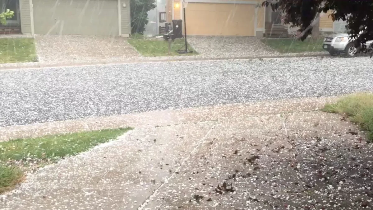
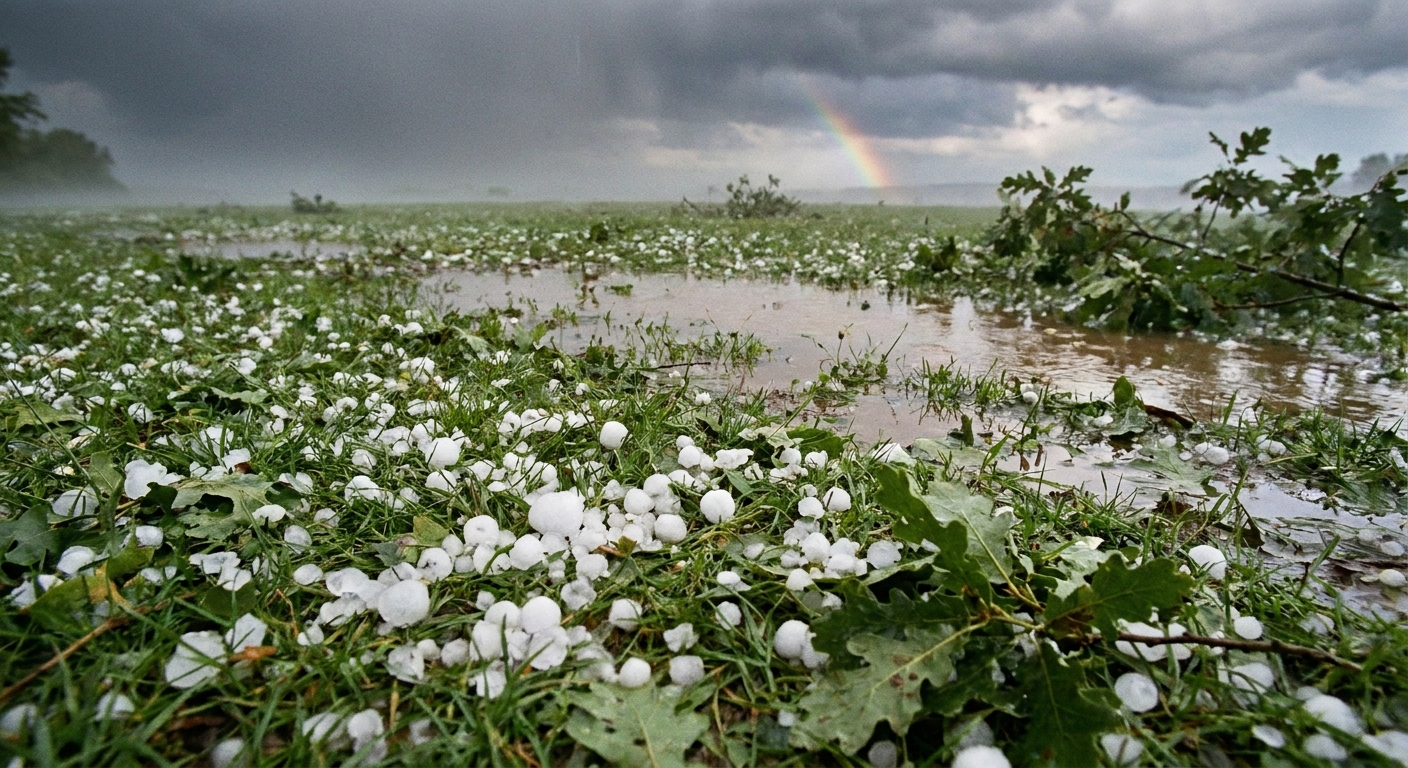
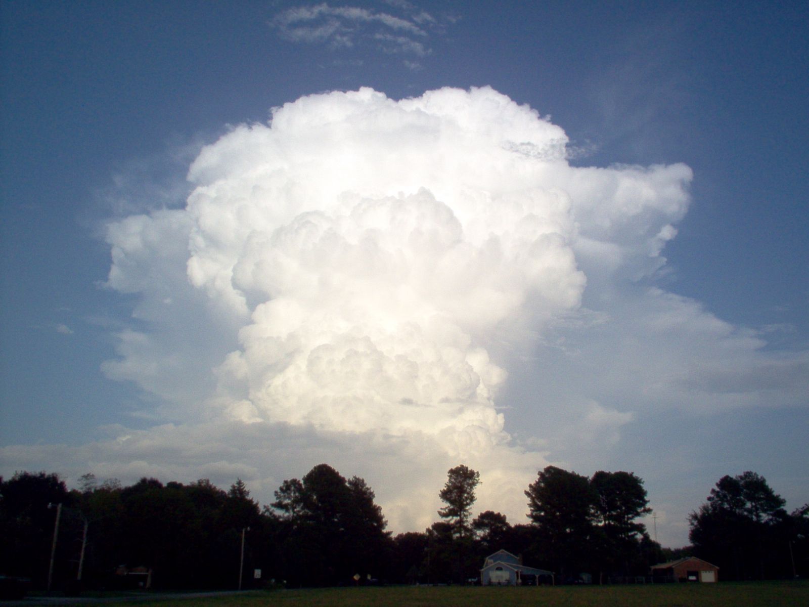
Curiosity, with all its quills showing.
Hail feels random when it clatters off a roof, but its geography is surprisingly consistent. In the United States, one of the highest concentrations of hail, especially large hail, tends to line up along the High Plains east of the Rocky Mountains. This region is often called the hail belt or Hail Alley. Definitions vary depending on the dataset and the metric, but the hot zone commonly includes eastern Colorado, southeast Wyoming, western and central Nebraska, parts of Kansas and Oklahoma, and the Texas and Oklahoma Panhandles, with the exact bullseyes shifting by month and by year.
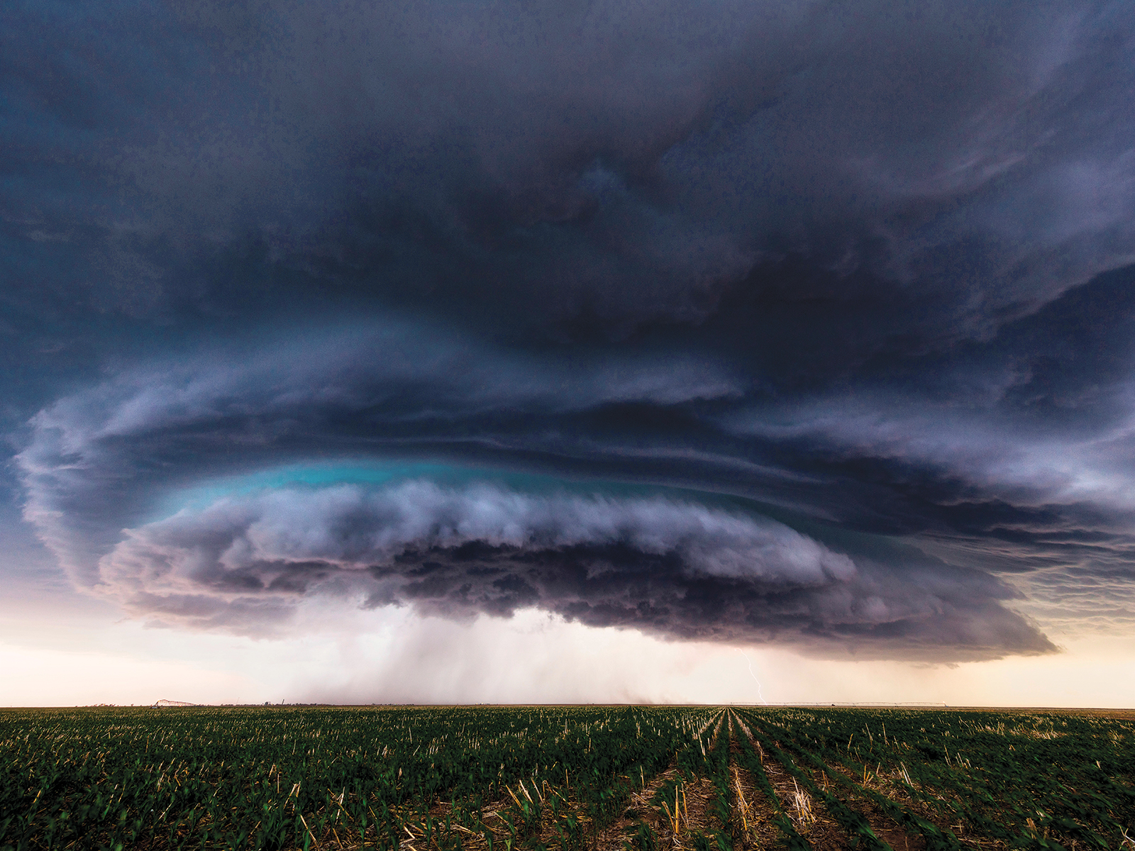
Before we get specific about states and seasons, it helps to keep one simple idea on the table: hail thrives where strong thunderstorms can keep ice suspended long enough to grow, and where the air feeding those storms is both moist and unstable.
The US hail belt
When people ask where hail happens most, the most consistent answer is not one city, but a broad zone. In many climatologies, the central High Plains show up as a primary hot spot for severe hail, whether you look at storm reports, radar-derived hail products, or blends of the two.
This is the stretch where:
- Dry air from the desert Southwest can overlap with
- Warm, humid air from the Gulf of Mexico and
- Strong winds aloft that help organize long-lived thunderstorms.
That overlap is a recipe for powerful updrafts. Stronger updrafts can loft hailstones higher, cycle them through regions of supercooled water, and keep them aloft longer, all of which increases hail size.
Within the hail belt, local peaks often appear along the Front Range of Colorado and across the High Plains into western and central Nebraska and Kansas. Farther south, the corridor extends into the Oklahoma Panhandle and the Texas Panhandle, where large hail is a frequent spring visitor.
Why Colorado, Nebraska, and Texas stand out
Several states get plenty of hail, but Colorado, Nebraska, and Texas are often singled out because they regularly rank high in severe hail environments and sit in repeatable setups that favor big stones.
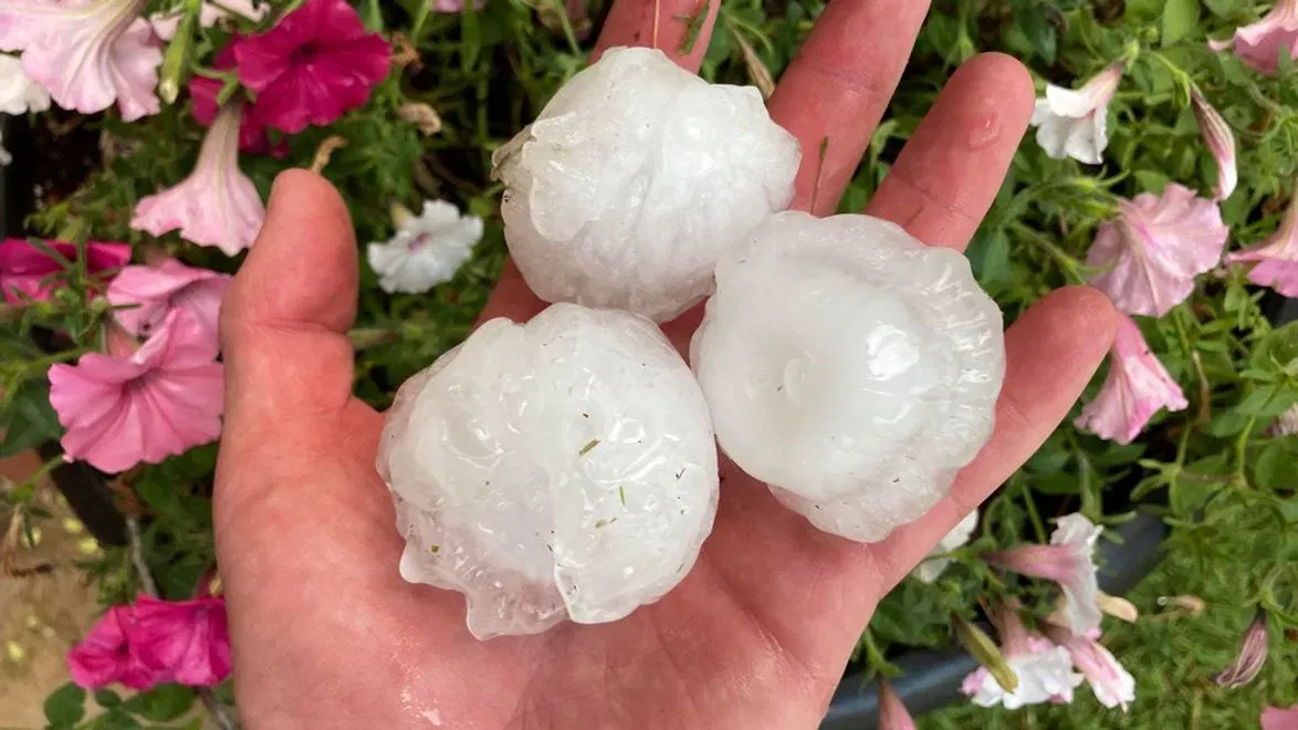
One quick vocabulary check, because the words matter here. In current U.S. severe thunderstorm criteria used operationally by the National Weather Service and the Storm Prediction Center, severe hail is typically defined as hail 1.00 inch in diameter or larger (about quarter size). Historically, thresholds have shifted, and datasets can mix eras, so it is always worth checking the definition behind any map.
Many researchers also track significant severe hail as 2.00 inches or larger (about hen egg size). That is a common research convention and a useful way to separate the truly destructive events from the merely loud ones, even though it is not a universal public warning threshold.
Colorado
Colorado’s Front Range sits next door to prime thunderstorm ingredients. Storms often develop along terrain features, boundaries, or upslope flow near the foothills, then move east over the plains where they can intensify.
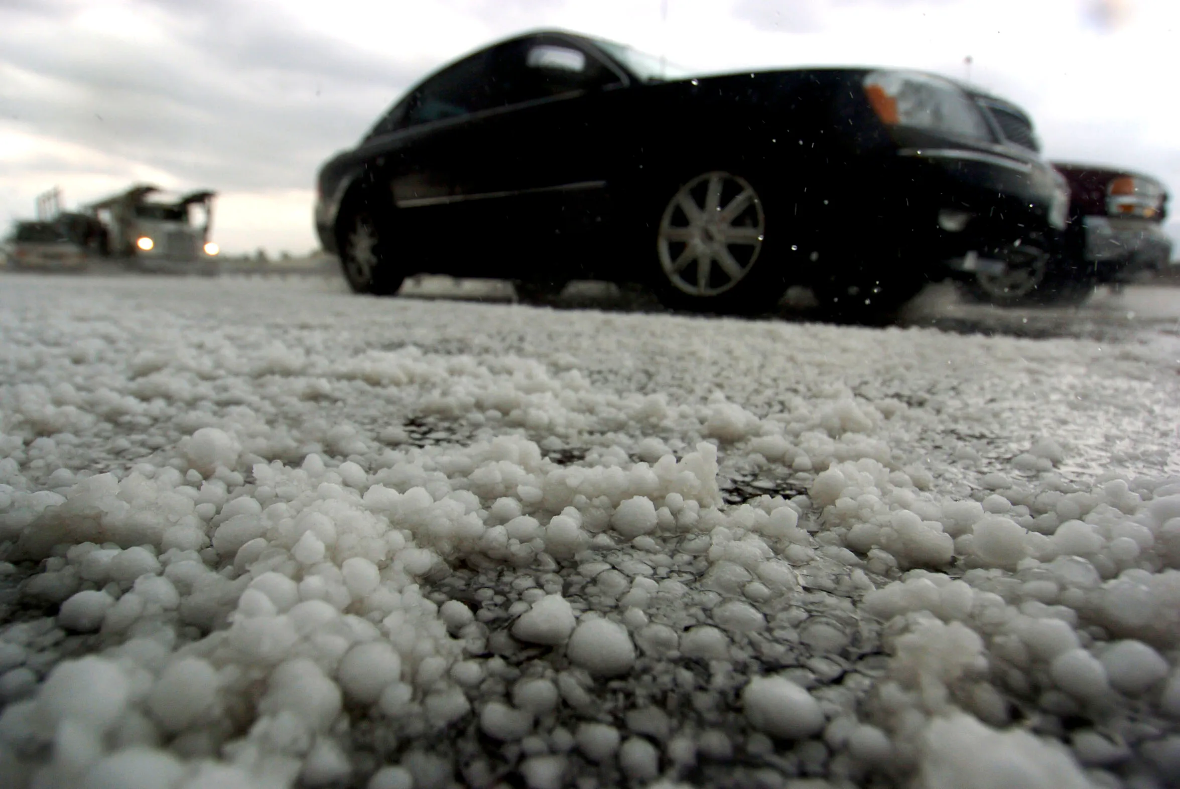
Colorado also commonly has a relatively low freezing level compared with hotter, more humid regions. That means hailstones do not have as much warm air to melt through on their way down, so more hail survives to the ground, and more of it stays large.
Nebraska
Nebraska sits in a favored zone for spring and early summer severe storms. Gulf moisture can surge northward into the Plains, while strong winds a few thousand feet up help create vertical wind shear, a key ingredient for organized thunderstorms such as supercells.
Supercells are disproportionately responsible for large hail because their rotating updrafts can persist and recycle hail embryos through growth regions multiple times.
Texas
Texas is so large that it hosts multiple hail climates. One of the most reliable corridors for frequent large hail is the Texas Panhandle and nearby South Plains, where drylines and strong springtime dynamics can produce intense supercells.
North Texas and the I-35 corridor can also be hammered, especially when spring storm tracks and boundaries line up near major population centers. Farther east, the air can be extremely moist, which certainly fuels thunderstorms, but it also raises the melting layer and can make it harder for hailstones to survive to the ground unless the storm is exceptionally strong.
Terrain and moisture
Hail is not evenly distributed because thunderstorms are not evenly distributed, and thunderstorms are shaped by the layout of North America.
The Rockies set the stage
The Rockies influence where storms form and how air masses meet. East of the mountains, winds and terrain can support:
- Upslope flow, which lifts air and can trigger storms
- Lee troughing, which can sharpen boundaries like the dryline
- Steep lapse rates aloft, often linked to elevated mixed layers that favor strong instability when moisture arrives below
The Gulf supplies moisture
Moisture is not just about rain. It helps build instability, which helps build strong updrafts. In much of the hail belt, the atmosphere often does something dramatic in spring and early summer: it combines rich low-level moisture from the south with comparatively dry air above. That contrast can make storms explosive once they break through any cap that is holding them back.
The dryline is the match
A recurring boundary in the southern and central Plains is the dryline, separating moist Gulf air from much drier air to the west. Where the dryline mixes and bulges eastward, rising motion can focus thunderstorm initiation. Many classic large hail days begin with storms firing on or near a dryline, then rapidly organizing into supercells.
When hail peaks
Hail has strong seasonal rhythms, but the peak depends on where you are.
Spring to early summer
Across much of the Plains, the prime season for severe hail is generally from roughly April through June, with many locations peaking in May or June. This is when you most reliably get the combination of strong jet stream support, sharp boundaries, and increasingly rich low-level moisture.
Mid to late summer
As summer matures, storm tracks often shift northward. Parts of the northern Plains and the High Plains can still see frequent hail, and Colorado can remain active because storms repeatedly form near the mountains and drift onto the plains.
Meanwhile, other regions have their own rhythms. The Southeast can see notable hail in the cool season and early spring with strong storm systems, and the interior West can see pockets of hail tied to terrain-driven thunderstorms. The hail belt still deserves its reputation, but the country is big and the calendar matters.
Time of day
Many hailstorms cluster in the late afternoon into evening, when daytime heating has boosted instability and storms that form can become robust. Nighttime hail certainly happens, especially with organized storm systems, but the classic isolated large-hail supercell often peaks after the day’s heat has done its work.
Which states get the most hail?
This question sounds simple, but it depends on what you mean by “most.” Are we talking about:
- Most hail days (any hail at all)
- Most severe hail (about 1 inch and larger)
- Most significant severe hail (about 2 inches and larger)
- Greatest hail exposure (hail frequency multiplied by people and property)
With that caveat, a few patterns are stubborn across many commonly used datasets:
- By severe hail criteria (around 1 inch and up), High Plains and adjacent central Plains states most often show up as top-tier, especially Colorado, Nebraska, Kansas, Oklahoma, and Texas. The Front Range into the adjacent plains, the Nebraska Panhandle into central Nebraska, and the Panhandles region are repeat performers.
- By significant severe hail (around 2 inches and up), the bullseye tends to tighten toward the core High Plains where storm organization is frequent and melting is less of a tax, again often favoring parts of Colorado, Nebraska, Kansas, Oklahoma, and the Texas Panhandle region in many climatologies.
- By total hail of any size, the picture can broaden. Ordinary thunderstorms are common across wide swaths of the country, and reporting density is higher near cities and highways, so some maps light up the Midwest and Southeast more strongly depending on the years included.
- By expensive hail damage, the leaders often reflect where hail overlaps with major metros and high property values. The physics may peak over open prairie, but the invoices stack up fast in hail-prone suburban corridors.
So if you want a clean mental shortlist for where big hail is most likely in many severe-hail datasets, start with Colorado, Nebraska, Kansas, Oklahoma, and Texas, then zoom in on the High Plains side of those states.
How hail is counted
Hail is tricky to count. Unlike temperature or rainfall, there is no simple nationwide network of hail gauges. So hail climatology is built from multiple imperfect but useful sources.
1) Storm reports
One common source is hail reports collected by the National Weather Service, which include estimates of hail size and location. These are invaluable, but they are also biased:
- Population bias: Hail is more likely to be reported where more people live and drive.
- Awareness bias: Spotter networks and media coverage change reporting rates over time.
- Size estimation errors: People compare hail to coins or balls, but sizes are often rough and can be influenced by melting.
Because of these issues, raw report maps can exaggerate hail frequency around cities and along highways.
2) Radar-based estimates
Weather radar can infer hail potential using signatures such as very high reflectivity, vertical storm structure, and dual-polarization variables that relate to particle type and size. Researchers also use radar-derived products that estimate the probability of hail and the probability of severe hail.
Radar helps fill in rural gaps, but it has its own limitations:
- Radar beam height: Far from a radar site, the beam overshoots lower parts of storms.
- Hail aloft versus hail at ground: Radar can detect hail in the storm, but some of it melts before reaching the surface.
- Algorithm choices: Different thresholds and methods can shift the map.
The strongest climatologies often compare and blend these approaches, using reports to ground-truth where possible and radar to provide more uniform spatial coverage.
What to take away
If you keep one mental map, make it this: in many climatologies focused on severe hail and large hail, the United States’ most consistently hail-prone region is the High Plains and adjacent central Plains, where dry air, Gulf moisture, and strong winds aloft routinely build powerful thunderstorms. Colorado, Nebraska, and Texas show up again and again because each sits in a favored intersection of storm initiation, instability, wind shear, and hail survival to the ground.
And the next time hail rattles down, there is a quiet geographic story behind the noise: mountains shaping airflow, oceans feeding humidity, and the atmosphere deciding, for a few minutes, to build ice in midair.
Hail geography FAQ
Is Hail Alley the same as Tornado Alley?
They overlap, but they are not identical. Both favor the Plains, but hail maxima often skew toward the High Plains and areas where hail can survive melting more easily, while tornado risk depends strongly on low-level wind profiles, moisture depth, and storm mode.
Does climate change affect where hail happens most?
It is an active research area. The ingredients that favor hail can change in competing ways. A warmer atmosphere can raise freezing levels, which can increase melting and reduce hail reaching the ground, but it can also increase atmospheric moisture and instability in some setups. The net effect can vary by region and season, and scientists often focus on changes in severe thunderstorm environments rather than hail counts alone.
Why do some places get frequent hail but not huge hail?
Small hail can fall from many ordinary thunderstorms. Very large hail usually requires exceptionally strong, sustained updrafts, often in supercells, plus storm structure that lets hailstones grow by repeated trips through supercooled liquid water. Even in warm, humid places with higher freezing levels, an exceptionally strong storm can still produce large hail, but the stones have more warm air to survive on the way down.