I used to tell my physics students that nature is full of “grading rubrics.” We may argue about effort, vibes, and drama, but the rubric decides the score. In U.S. weather, the phrase severe thunderstorm has a rubric too, and it is more specific than most people expect.
Here is the key idea: a storm can be loud, lightning-packed, and pour buckets of rain and still not meet the official definition used for certain National Weather Service products. That is not downplaying the danger. It is just how the criteria are set for warnings and for how reports get categorized later.
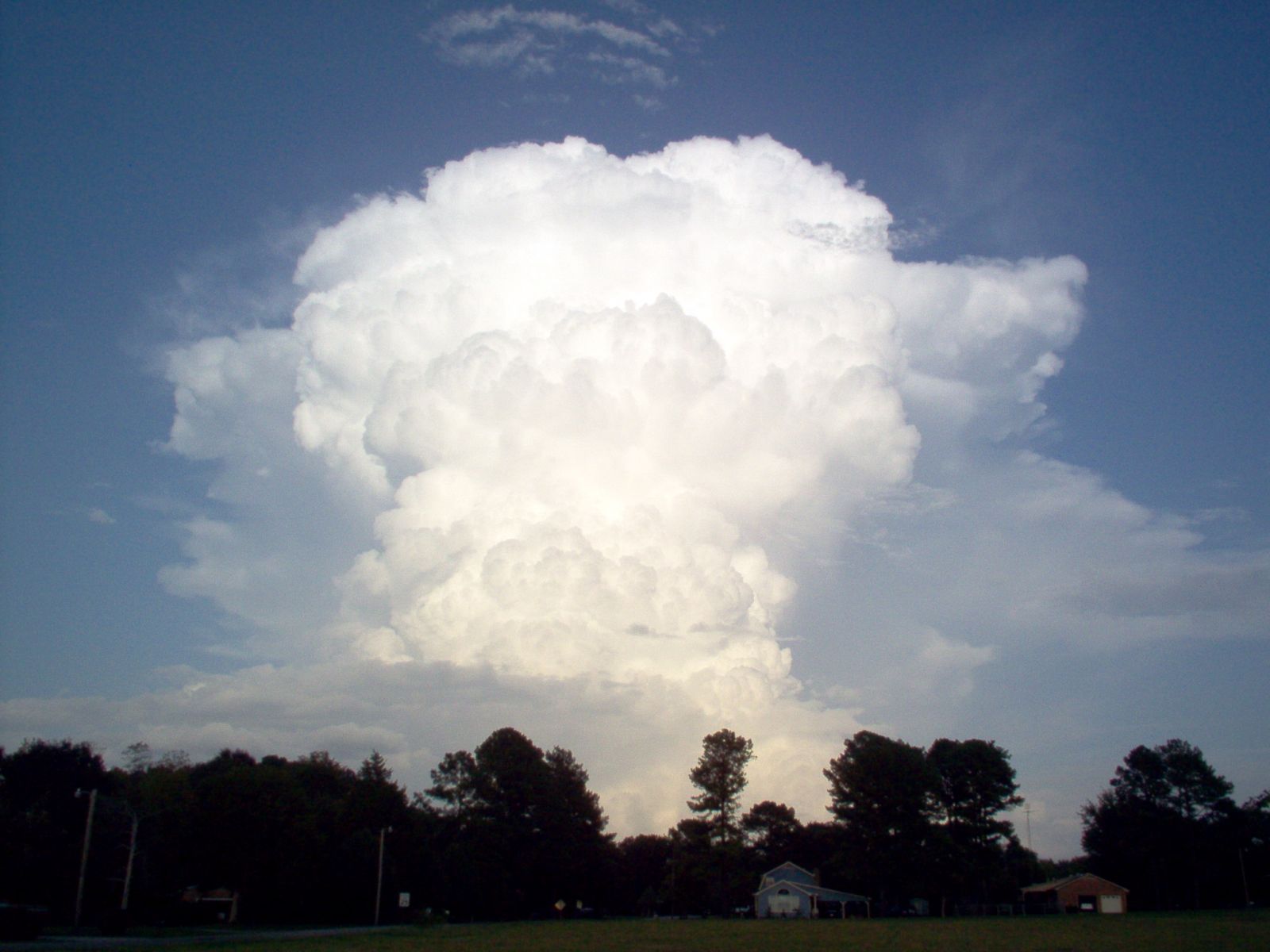
The U.S. criteria
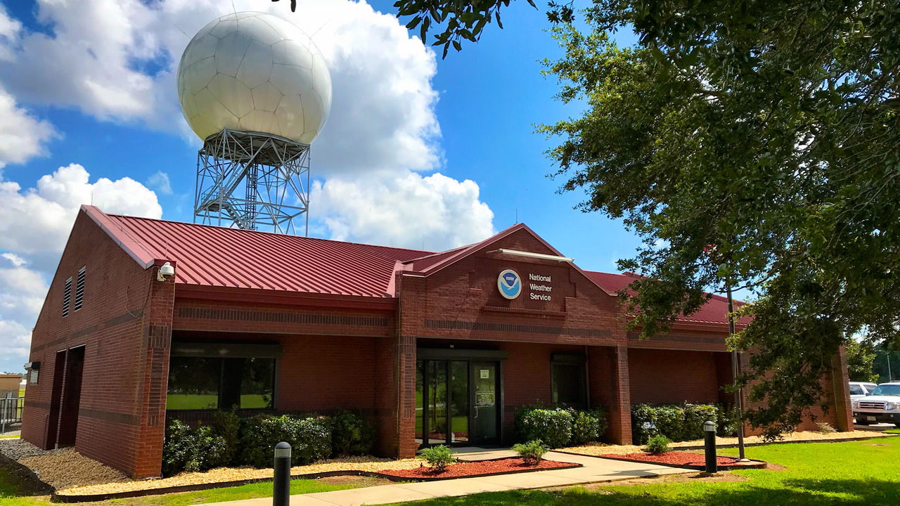
In the United States, the operational definition most people mean when they say a storm is “severe” is the National Weather Service and Storm Prediction Center standard used for severe thunderstorm warnings and storm reports.
A thunderstorm is considered severe when it produces any one of the following:
- A tornado
- Hail at least 1 inch in diameter (about quarter-size)
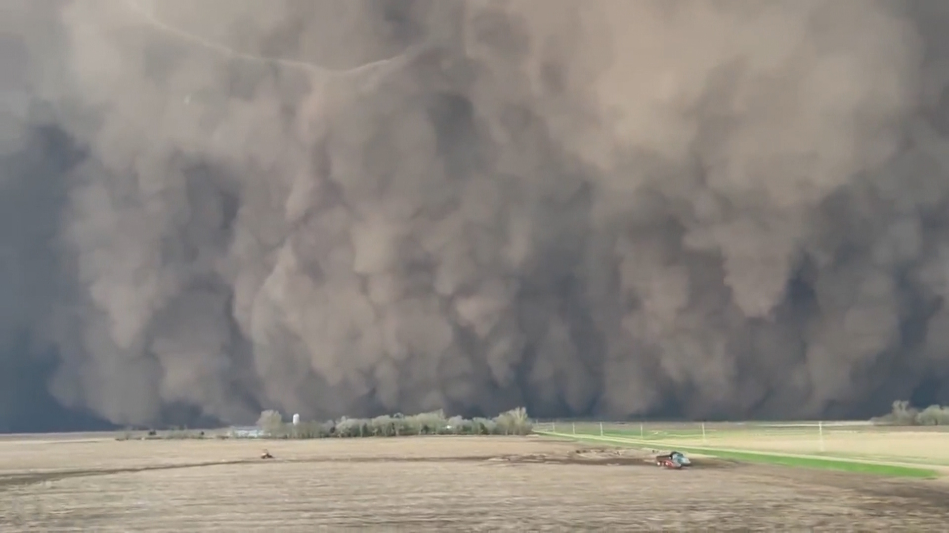
- Wind gusts of at least 58 mph (50 knots)
One important nuance: while 1-inch hail is the current national standard used in warnings, hail criteria have shifted over time, and on rare occasions a local office may adjust messaging based on impacts. If you want the most precise answer for your area, your local NWS office is the authority.
It can feel surprising that “severe” does not include things like constant lightning or extreme rainfall. Those hazards matter a lot, but they are handled with other alert types and categories. The severe thunderstorm definition is intentionally anchored to hazards that most reliably cause immediate damage across a broad area: tornadic circulation, damaging hail, and damaging convective wind.
Why loud or rainy can fall short
Heavy rain is a different track
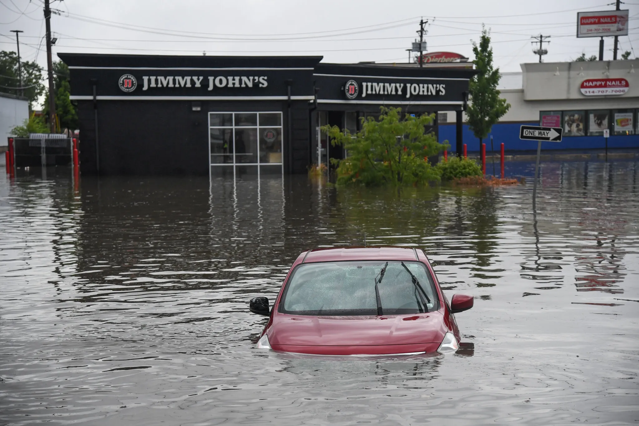
One of the most common misunderstandings is: “It is flooding on my street, so why is this not a severe thunderstorm?” The answer is that flooding is a different hazard track. A storm can be extremely efficient at producing rainfall without producing the hail or wind thresholds tied to severe thunderstorm warnings.
In fact, some of the scariest rain producers are slow-moving thunderstorms that keep raining over the same place. That can turn into flash flooding quickly, and it can be life-threatening even if the storm never produces 1-inch hail or 58 mph wind.
Practically speaking, if water is rising or moving fast, treat it as an emergency regardless of whether the word “severe” appears in an alert.
Lightning is not part of the rubric
Lightning can be abundant in ordinary thunderstorms. A storm that rattles your windows with thunder every few seconds may be electrically intense, but “electrically intense” is not the same as “meets the severe wind or hail thresholds.”
Lightning is still a major hazard. It just is not one of the formal triggers that turns a thunderstorm into a “severe thunderstorm” under the criteria above.
Small hail can still be below severe
Pea-size or dime-size hail can sting, shred a few leaves, and make a racket on a porch roof. But until hail reaches about 1 inch in diameter, it is below the standard severe threshold used for warnings. Many storms produce hail that stays under that size.

What the thresholds control
Those hail, wind, and tornado benchmarks are not just trivia. They help determine how storms are communicated in real time and how events are logged in storm databases afterward.
Warnings vs watches
Two terms get mixed up all the time:
- Severe Thunderstorm Watch: conditions are favorable for severe storms. These watches are issued by the Storm Prediction Center and cover big areas for several hours.
- Severe Thunderstorm Warning: severe weather is happening or imminent in a smaller area. These warnings are issued by your local National Weather Service forecast office.
So if you are wondering, “Why am I only in a watch?” or “Why did they warn that storm but not this one?” the thresholds play a major role, but so does the difference between broad potential (watch) and imminent hazard (warning).
They shape real-time warning decisions
When forecasters evaluate radar data, spotter reports, and instrument readings, they are constantly asking: is this storm producing, or about to produce, damaging hail or damaging wind at or above severe thresholds? If yes, that supports issuing a warning for areas in the storm’s path.
Just as importantly, if a storm is producing lots of rain and lightning but reliable signals for severe hail or severe winds are not present, a severe thunderstorm warning may not be the right tool, even though you still need to take the storm seriously. Flooding concerns may instead be handled with flood-focused products such as a Flash Flood Warning when rapid flooding is expected or occurring.
They keep storm records consistent
Afterward, reports of tornadoes, measured wind gusts, and hail estimates are used to document what happened. That recordkeeping matters because long-term storm statistics depend on consistent definitions. If “severe” meant “felt intense,” the dataset would drift with public perception. Using thresholds keeps the catalog more stable, even though measuring hail size and wind gusts in real life can still be messy.
Making sense of the numbers
Hail: 1 inch is quarter-size
A quick mental anchor: 1-inch hail is about the diameter of a U.S. quarter. Coins are not perfect measuring tools, but they are a handy reference when you are holding hailstones and trying to estimate.
Hail size matters because damage scales quickly. Once hail gets into that 1-inch neighborhood, it is more likely to dent vehicles, damage siding, and break weaker window glass, especially when driven by wind.
Wind: 58 mph is where damage is common
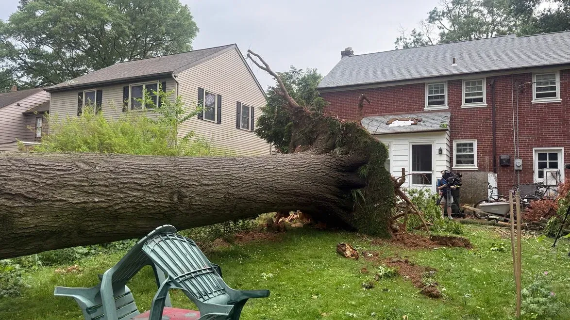
58 mph can snap weaker tree limbs, peel shingles, and push around unsecured outdoor items. If you have ever tried to open a car door in a strong crosswind, you have felt how fast “just wind” turns into “wind that starts breaking things.”
Wind in thunderstorms is tricky because it comes in bursts. A neighborhood weather station might never catch the peak gust even if someone a few blocks away experiences it.
What about tornadoes?
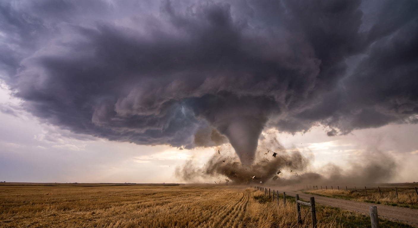
If a thunderstorm produces a tornado, it is severe by any practical definition. Operationally, though, tornadoes are handled with their own warning procedures and products, most notably the Tornado Warning, rather than being lumped into a severe thunderstorm warning.
In other words: tornadoes absolutely count as severe weather, but the alert you see will typically be tornado-specific.
Two common scenarios
“It was the loudest storm I have ever heard”
Loud thunder can mean lightning is frequent and close by, or that the storm structure is efficient at producing strong acoustic booms. That can be frightening and it can be dangerous if you are outside. But unless the storm also produces a tornado, severe-size hail, or severe wind gusts, it does not meet the severe thunderstorm criteria used for warnings and reports.
“We got 2 inches of rain in 30 minutes”
That is a classic setup for flash flooding, especially in cities or hilly terrain. It can be life-threatening. Still, rainfall amount alone does not flip the storm into “severe thunderstorm” by the hail and wind rubric. A storm can be a rain monster without being a hail or wind monster.
Quick FAQ
Does a severe thunderstorm have to include lightning?
A thunderstorm is defined by thunder, and therefore lightning. But lightning intensity is not what makes it “severe.” The severe criteria are tornado, severe-size hail, or severe wind.
If I see small hail, should I treat it as serious?
Yes. Any hail can be a sign of a strong updraft, and hail size can change rapidly as the storm evolves. Also, even sub-severe hail can injure people and animals and create slick roads. The “severe” label is not the same thing as “safe.”
Why are the thresholds so specific?
Because they create consistency. Meteorologists need clear triggers for classifying events and communicating hazards, and researchers need stable definitions so storm reports can be compared across years.
Bottom line
In the U.S., “severe thunderstorm” is not defined by how intense it feels. In day-to-day forecasting, it typically means a thunderstorm that produces a tornado, hail around 1 inch in diameter, or wind gusts around 58 mph, which are the thresholds tied to severe thunderstorm warnings and severe storm reports.
A storm can be extremely wet, noisy, or lightning-heavy and still fall short of those benchmarks. Knowing the rubric helps you interpret alerts and reports more clearly, and it also helps you understand why the official “severe” label is sometimes used for storms that look ordinary on your doorstep, while a different storm that feels wild may not earn that specific designation.