Curiosity, with all its quills showing.
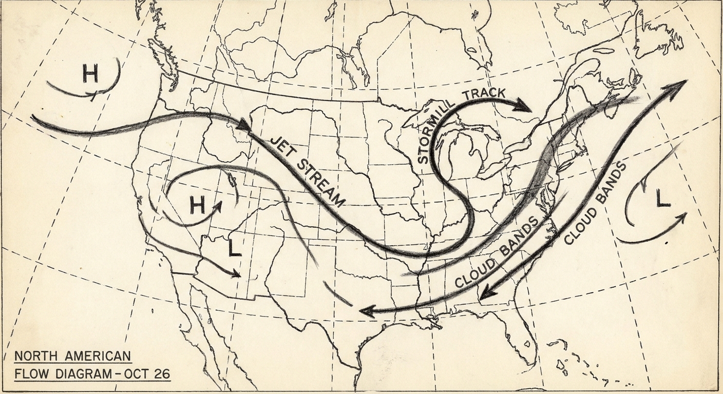
When meteorologists talk about a “jet,” it is tempting to picture the famous jet stream: a high altitude river of air that steers weather systems across continents. But there is another kind of jet that matters for what happens right over our heads, especially after sunset. It is called a low-level jet, and it can act like a conveyor belt for heat and humidity, quietly setting the stage for nighttime thunderstorms and soaking rain.
Low-level jet, defined
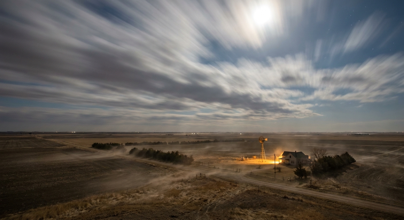
A low-level jet (LLJ) is a relatively narrow band of fast wind located in the lower troposphere, typically within the lowest few thousand feet above the ground. For the well-known Great Plains nocturnal LLJ, the wind-speed maximum is often found around about 1,000 to 6,000 feet AGL (roughly 300 to 2,000 meters), though it can be lower or higher depending on the setup and local terrain elevation.
Two details make an LLJ stand out:
- Speed maximum: wind speeds increase with height up to a peak in a shallow layer, then decrease above it.
- Sharp vertical wind shear: wind speed can change quickly with height near and below the jet, which matters for storm structure.
Low-level jets can occur in many parts of the world, including coastal areas and deserts, but the celebrity of the family is the nocturnal Great Plains low-level jet in the central United States.
The Great Plains nocturnal low-level jet
If you have ever noticed that the air can feel more breezy at night on the Plains, you have brushed up against the idea. The Great Plains LLJ is a southerly wind maximum that often strengthens after sunset, frequently transporting warm, humid air from the Gulf of Mexico northward into Texas, Oklahoma, Kansas, Nebraska, and beyond.
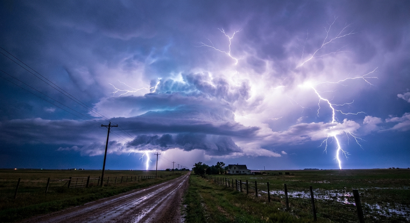
This matters because moisture is fuel. Not fuel in the gasoline sense, but in the atmosphere’s sense: water vapor supplies the raw material for clouds, rain, and the release of latent heat that can intensify storms. It is one reason big nighttime thunderstorm complexes, the kind that roll across Kansas and Oklahoma at 2 a.m. with nonstop lightning, are not as mysterious as they look.
Why it strengthens at night
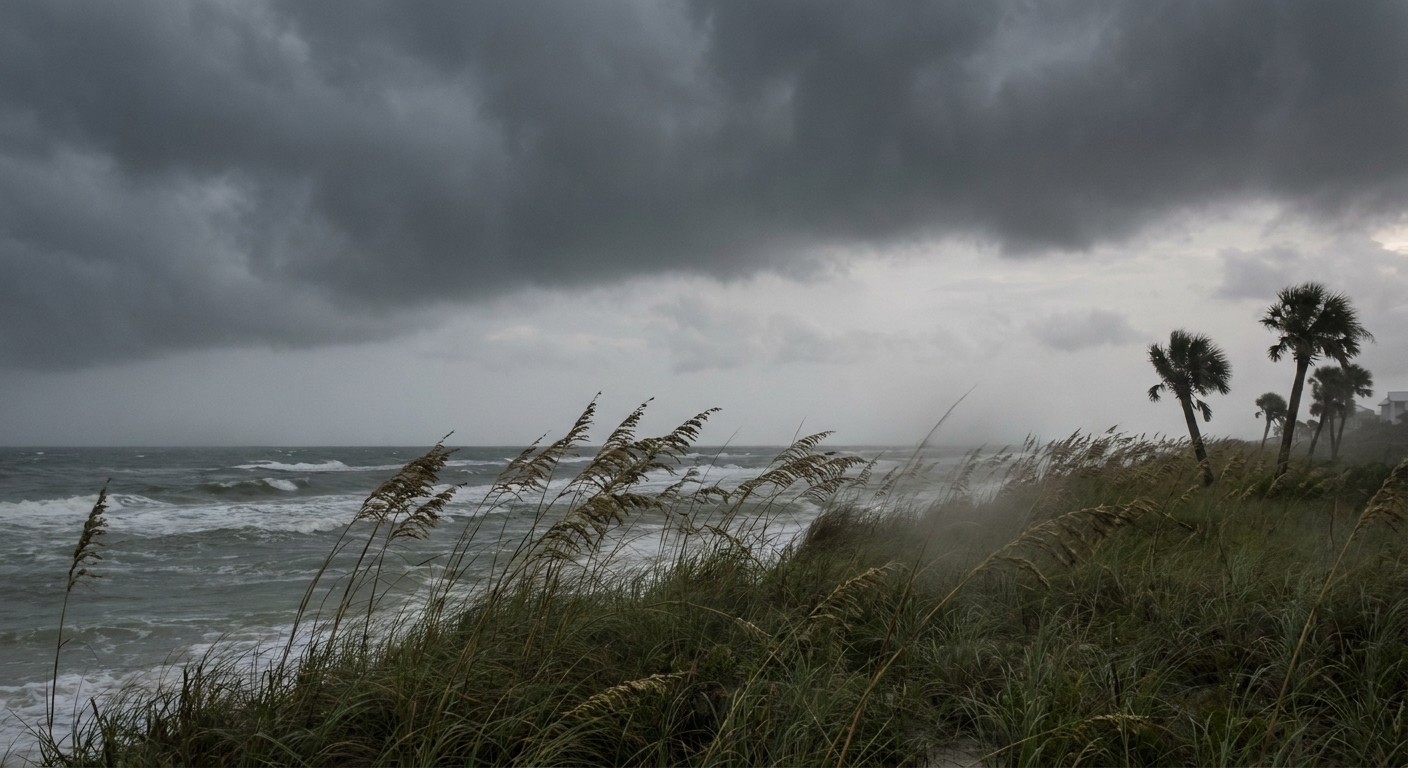
The nocturnal LLJ is not a single-switch phenomenon, but several pieces often click together after sunset.
The boundary layer decouples
During the day, sunlight warms the ground, and rising thermals mix the lowest part of the atmosphere into a turbulent convective boundary layer. That mixing drags faster winds down and slows faster winds aloft, smoothing out wind differences near the surface.
After sunset, the ground cools. The near-surface air becomes more stable, turbulence weakens, and the atmosphere becomes more “layered.” With less turbulent drag, winds just above the surface can accelerate and organize into a pronounced maximum.
Inertial oscillation joins the party
Over the Great Plains, meteorologists often point to the classic Blackadar mechanism, also called an inertial oscillation. Once the surface layer decouples in the evening, the wind above it is suddenly less restrained by friction. It begins to “swing” around its balance of forces, and that oscillation commonly produces a stronger southerly wind maximum overnight, often peaking from late evening into the pre-dawn hours.
Friction and turning with height
Close to the ground, friction slows the wind and causes it to cross pressure lines more directly toward lower pressure. Higher up, where friction is weaker, the wind tends to balance pressure-gradient forces and the Coriolis effect more cleanly. The transition between these regimes helps set up the low-altitude wind-speed maximum that defines the LLJ.
Terrain and pressure patterns help aim it
The Plains slope gently upward toward the Rockies, and the larger-scale weather pattern often does the heavy lifting. A common ingredient is lee troughing east of the Rockies, paired with higher pressure to the east or southeast. That contrast strengthens the pressure gradient that favors sustained southerly flow. Terrain is usually a contributor, not the sole cause, but it can help the setup keep its footing.
LLJ vs jet stream
The low-level jet and the better-known jet streams share the idea of a concentrated ribbon of fast wind. Beyond that, they live in different neighborhoods of the atmosphere and do different jobs.
- Height: The classic polar and subtropical jet streams are usually found near the tropopause, often around 25,000 to 40,000 feet, varying by latitude and season and sometimes higher in the subtropics. A low-level jet is typically below about 6,000 feet AGL, though some events can place the core higher.
- What drives them: Upper-level jets are closely tied to strong horizontal temperature contrasts and large-scale atmospheric dynamics. The nocturnal LLJ is strongly influenced by boundary-layer physics, friction, stability, and regional pressure patterns.
- What they influence most directly: Upper-level jets steer storm systems and shape large-scale weather. Low-level jets are specialists in transporting moisture and heat, and in shaping the wind environment that storms grow in.
In practice, major weather events often involve both: an upper-level jet providing lift and organization, and a low-level jet delivering the warm, moist air that storms convert into rain, hail, and lightning.
How it feeds overnight storms
Nighttime thunderstorms over the central United States can feel puzzling. The sun is gone, the ground is cooling, and yet storms can blossom and persist. The low-level jet helps explain why.
It delivers moisture
A strengthening southerly LLJ can increase moisture transport into a region. If the air aloft is cooler and drier, that moist inflow increases instability and can feed ongoing storms like a steady supply line.
It increases convergence
Storms need air to rise. When winds bring air together near the surface, that air has to go somewhere, and “up” is often the option. A low-level jet can enhance convergence along boundaries like fronts, drylines, or outflow from earlier storms.
It shapes wind shear
The change of wind with height, called wind shear, influences storm type and longevity. Low-level jets can strengthen shear in the lowest mile of the atmosphere, helping some storm systems organize and persist.
Why it links to heavy rain
When forecasters worry about flooding rainfall, they pay attention to how efficiently storms can take in moist air and keep raining over the same area. A low-level jet can contribute to both.
More moisture, higher ceiling
More water vapor flowing into a storm environment generally raises the ceiling on how much rain storms can produce. If the LLJ taps Gulf moisture, the atmosphere can become primed for high rainfall rates.
Training and repeat development
In some setups, storms move along a corridor while new storms repeatedly form upstream and move over the same locations. Meteorologists often call this training, like train cars passing over the same track. A persistent low-level jet can keep feeding the inflow that allows this cycle to continue.
Efficient rainfall inside deep storms
Humid, high-precipitable-water air can make rain production more efficient within convective systems. This does not mean storms are shallow. Plains flood events often involve deep convection. But when the warm-cloud layer is deep and the inflow is moisture-rich, storms can convert that moisture into heavy rain with unsettling efficiency.
How low is “low”?
Different communities draw the line slightly differently. A practical way to think about it is not a hard ceiling, but a neighborhood: the layer strongly influenced by surface friction and the day-night heating cycle.
- Core of the jet: often around 1,000 to 6,000 feet AGL (about 300 to 2,000 meters) in the Great Plains nocturnal cases, but sometimes outside that range.
- How forecasters spot it: wind maxima at 925 mb and 850 mb are common diagnostics, though the “right” level depends on temperature, elevation, and whether the jet core is lower than the model’s coarser layers.
One more useful rhythm: the LLJ often peaks overnight and then weakens after sunrise as daytime mixing returns and spreads the momentum through a deeper layer.
Where else they show up
The Great Plains LLJ is famous, but it is not alone. Variations exist worldwide:
- Coastal low-level jets can form where cool ocean air meets warmer land, often supported by temperature contrasts and terrain along coastlines.
- Barrier and gap flows near mountain ranges can concentrate winds in the lower atmosphere.
- Monsoon-related jets can transport moisture seasonally in parts of Africa, Asia, and the Americas.
Each has its own recipe. What they share is that a shallow layer of the atmosphere becomes a preferred highway for fast, organized winds.

LLJs and atmospheric rivers
If you have read about atmospheric rivers, you might wonder if a low-level jet is just another name for the same thing. Not quite.
- An atmospheric river is primarily a corridor of concentrated water vapor transport, often spanning long distances. It is defined by moisture transport intensity and structure.
- A low-level jet is primarily a wind feature, a speed maximum in the lower atmosphere. It can transport moisture very effectively, but it is defined by wind structure and altitude.
They can work together. A strong low-level jet can help aim moisture into a region, and in some setups it can contribute to the moisture transport that makes an atmospheric river impactful. But they are distinct concepts, living at different scales and diagnosed in different ways.
Quick FAQ
Is a low-level jet dangerous?
The jet itself is not a hazard in the way a tornado is, but it can contribute to hazardous weather by increasing moisture, wind shear, and storm organization. It can also create low-level wind shear concerns for aviation, especially at night.
Does a low-level jet always cause storms?
No. You also need ingredients like instability and a trigger for rising motion. But when storms do form, an LLJ can help them grow or persist.
Why do storms sometimes get worse after dark on the Plains?
One common reason is that the low-level jet often strengthens at night, feeding storms warm, moist inflow and maintaining the wind environment that supports organized convection.
How fast are low-level jets?
It varies widely by event. A notable nocturnal LLJ might feature winds on the order of 30 to 60 mph (about 25 to 50 kt, or 13 to 27 m/s) a few thousand feet up, sometimes stronger in intense setups.
What are two clues I can look for in forecasts?
Two common tells are (1) model maps showing a southerly 850 mb wind maximum increasing in the evening, and (2) rising dewpoints northward overnight, especially when forecasters mention moisture transport or the potential for nighttime storms.
The takeaway
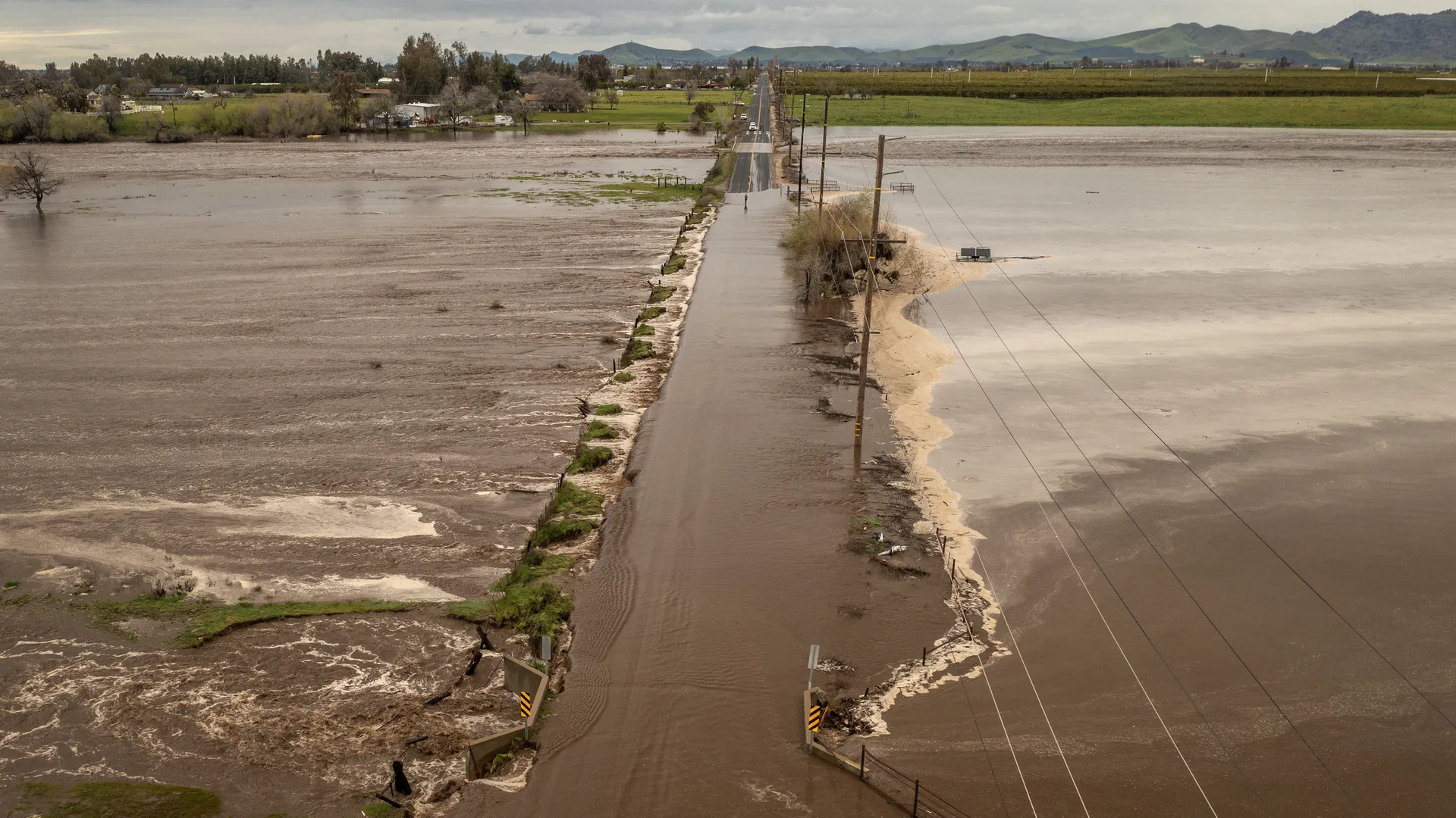
A low-level jet is a fast-moving ribbon of wind close to the ground, often only a few thousand feet up. Over the Great Plains, it frequently strengthens at night and funnels Gulf moisture northward. That quiet nighttime acceleration can be a loud influence on the next day’s forecast, priming the atmosphere for overnight thunderstorms, heavy rain, and in some cases flooding.
If the upper-level jet is the steering wheel of weather systems, the low-level jet is often the supply line, carrying the warm, wet air that storms know how to spend.