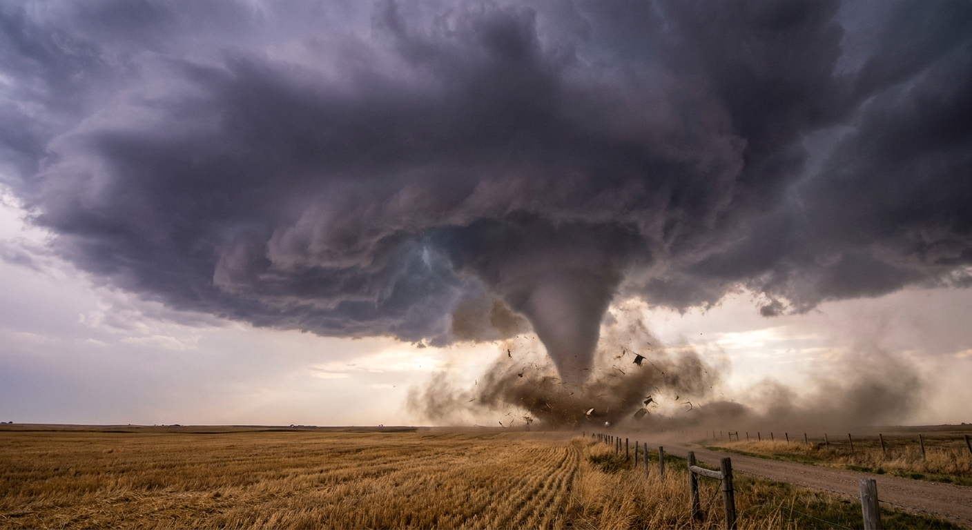
The first time I watched a classic rotating thunderstorm build on the horizon, it reminded me of kneading bread dough. You start with something messy and wide, then you stretch, fold, and tighten it until a thin strand forms. Tornado formation is like that, except the “dough” is air, the “hands” are a storm’s winds, and the end product can be a violently spinning column.
Here is the key idea we will keep coming back to: tornadoes are not usually “born from nothing.” They are made when a thunderstorm rearranges and concentrates rotation that already exists in the atmosphere into a small area near the ground.
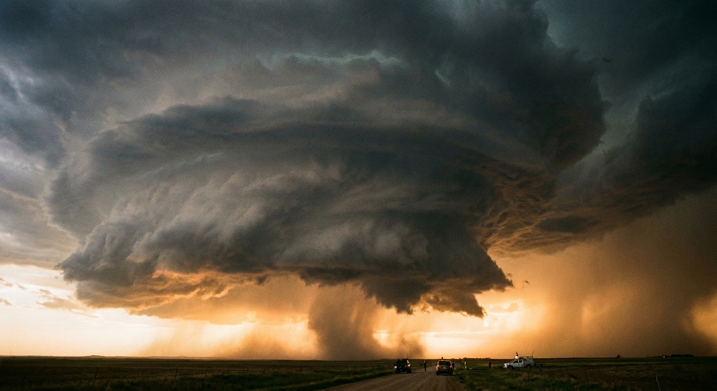
The ingredients a tornado-friendly storm needs
Not every thunderstorm can produce a tornado. The storms most likely to do it tend to have a few atmospheric ingredients working together.
Warm, humid air near the ground
Warm, moisture-rich air acts like fuel. When it rises, water vapor condenses into cloud droplets, releasing heat. That added heat makes the rising air even more buoyant, strengthening the storm’s updraft.
Cooler, drier air above
When the air aloft is cooler and drier, rising warm air stays warmer than its surroundings for longer. That temperature contrast helps maintain a powerful updraft, which matters because strong updrafts can organize and intensify rotation.
Wind shear: winds that change with height
This is the big one for most tornadoes. Wind shear means wind speed or wind direction changes as you go up in altitude. That vertical change can create invisible tubes of horizontal spin in the lower atmosphere. A thunderstorm can then tilt that spin upward and tighten it.
If you want the simplest mental image: picture a river where the current is slow along one bank and fast along the other. That difference naturally creates swirling eddies. In the sky, the “banks” are different layers of air moving at different speeds or directions.
The supercell pathway
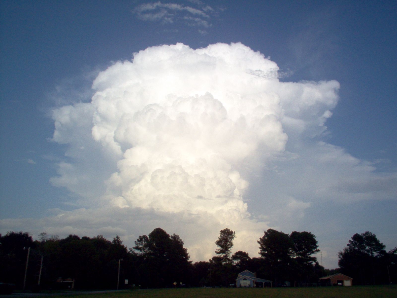
Most strong tornadoes, especially long-track and violent ones, are associated with supercells, which are long-lived thunderstorms with a deep, persistent rotating updraft. The details can get technical quickly, but the overall storyline is wonderfully physical.
Step 1: Wind shear creates horizontal spin
Near the surface, winds might blow from one direction and at one speed. A few thousand feet up, they may blow from a different direction and faster. That change can produce rolling, tube-like rotation parallel to the ground. Meteorologists often describe this as horizontal vorticity, meaning spin that is not yet upright.
Step 2: The storm tilts that spin upright
A strong updraft is not just rising air. It is a three-dimensional conveyor belt. When that conveyor belt intersects the horizontally spinning air, it can tip part of that rotation into the vertical. Think of taking a rolling pin and nudging one end upward. The spin axis changes orientation.
Step 3: The rotating updraft tightens
Once rotation becomes vertical, it can intensify through stretching. Here is the bit of physics my classroom loved: when a rotating column of air is stretched taller, it tends to spin faster, like a figure skater pulling in their arms.
In storms, stretching happens when air converges inward at low levels and then shoots upward. The storm is effectively narrowing the rotating region and increasing its spin rate.
Step 4: Downdrafts help focus rotation near the ground
Here is the part that surprises people. Tornado formation in supercells is not just about rising air. Downdrafts matter, too.
Supercells often have distinct downdraft regions that bring rain-cooled air toward the surface. Along the boundaries where cool outflow meets warmer inflow, air can shear and spin. If the storm’s circulation and these boundaries line up just right, rotation can become concentrated at very low levels.
In plain language: the storm sets up a complicated dance between air rushing in, air blasting up, and rain-cooled air pushing out. When the steps synchronize, rotation tightens close to the surface.
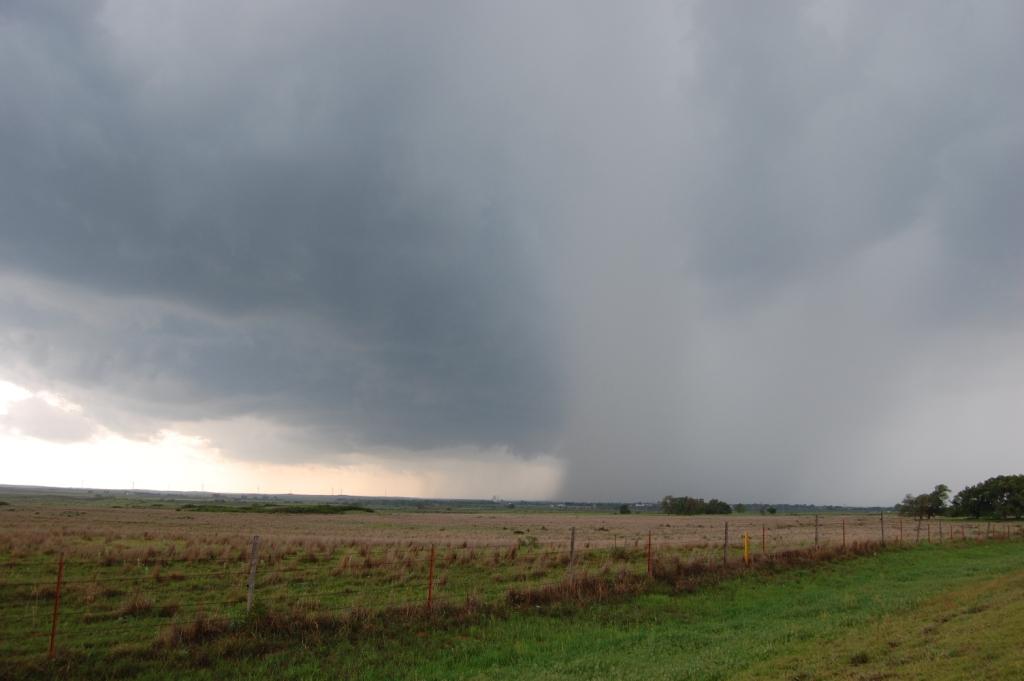
Non-supercell tornadoes
Not all tornadoes require a classic supercell. Some form in storms that are shorter-lived or less organized, especially along sharp wind boundaries near the ground.
Boundary-driven spin
The atmosphere is full of boundaries, places where air masses meet and winds change quickly over a short distance. Examples include:
- Gust fronts from thunderstorm outflow
- Sea breezes near coastlines
- Old storm boundaries left behind after earlier thunderstorms
Along these boundaries, the wind shift can create spin close to the surface. If a developing thunderstorm updraft passes over that pre-existing rotation, it can stretch it and briefly intensify it into a tornado.
Two common flavors
When people say “non-supercell tornado,” they can mean a couple of different things. Some are landspouts and fair-weather waterspouts, which often form when a growing cumulus tower stretches shallow, pre-existing rotation along a convergence boundary. Others are quick spin-ups within squall lines and QLCS setups, where small, line-embedded circulations can tighten rapidly near the surface in strong wind shear.
Why these can be hard to anticipate
These tornadoes can develop fast, sometimes on smaller spatial scales. They may not have a deep, persistent rotating updraft that stands out clearly on radar. The rotation can be shallow, messy, and short-lived, which makes detection and warning more challenging.
What scientists know well
After decades of field campaigns, Doppler radar research, storm intercept data, and computer simulations, a few things are well supported.
- Wind shear matters. Changing winds with height help set up rotation that storms can reorganize.
- Updrafts can tilt and stretch rotation. This is basic fluid dynamics, and it shows up consistently in observations and models.
- Near-ground processes are crucial. Tornadoes are made or broken in the lowest slice of the atmosphere, where inflow, outflow, and friction with the ground interact. Meteorologists often call the formation process tornadogenesis.
- Not every rotating storm produces a tornado. A storm can have strong mid-level rotation and still never concentrate it into a narrow, surface-based vortex.
What forecasters cannot see
If you have ever wondered why tornado warnings can feel both urgent and uncertain, this is the honest scientific reason: the most critical steps often happen very low to the ground, on very small scales, and sometimes very quickly.
The lowest levels are a blind spot
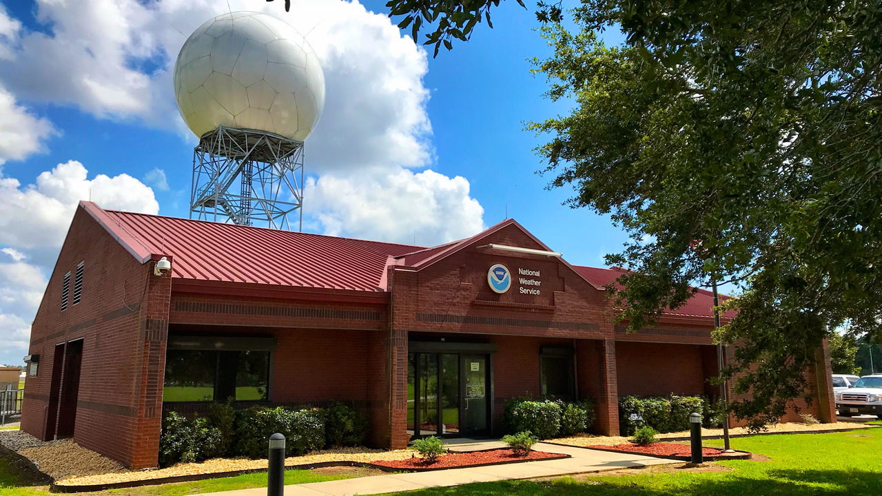
Most weather radars sample the atmosphere in slices that rise with distance from the radar. Farther away, the radar beam is higher above the ground. Even nearby, radar can struggle to fully resolve the chaotic, rapidly changing winds in the lowest few hundred to around 1,000 feet of the atmosphere, which is often where tornadogenesis is decided.
Storms can reorganize in minutes
The transition from “rotating but harmless” to “rotation tightening near the surface” can happen quickly. Computer models and field observations show that small changes in downdraft strength, temperature contrasts, or the exact position of a boundary can flip the outcome.
Too much happens between the pixels
Even with modern tools, a tornado-scale vortex can be smaller than the effective resolution of many observational systems, especially when the storm is far from sensors or the terrain blocks low-level measurements.
This is why meteorology leans on probabilities and patterns. Forecasters can often identify environments where tornadoes are more likely and storms that show concerning signs. But they cannot always see the final tightening process early enough to be perfectly specific about which neighborhood gets the worst of it.
A step-by-step recap
If you want the whole process in one mental movie, here it is:
- Changing winds with height set up rolling, horizontally spinning air.
- A growing thunderstorm forms a strong updraft.
- The updraft tilts some of that spin upright.
- Air converges and rises, stretching the rotating column so it spins faster.
- Near-ground boundaries and downdrafts can help focus and intensify rotation at the surface.
- Sometimes everything aligns and a tornado forms. Sometimes one ingredient is off and the storm never makes that final jump.
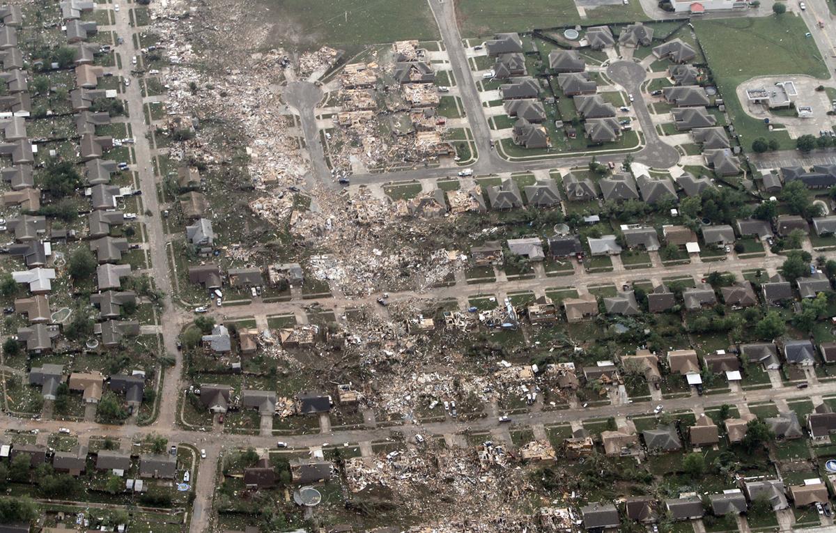
As dramatic as tornadoes look, the physics behind them is the physics of everyday fluids: rotation, convergence, stretching, and the constant tug-of-war between warm rising air and cool sinking air. The difference is scale, and the stakes.
Common questions
Do tornadoes come from clouds or from the ground up?
In many cases, the storm’s broader rotation is evident aloft first, but the decisive tornado-forming circulation is about concentrating rotation near the ground. It is less like a drill-bit descending and more like the storm tightening a messy swirl until it becomes a narrow, intense vortex.
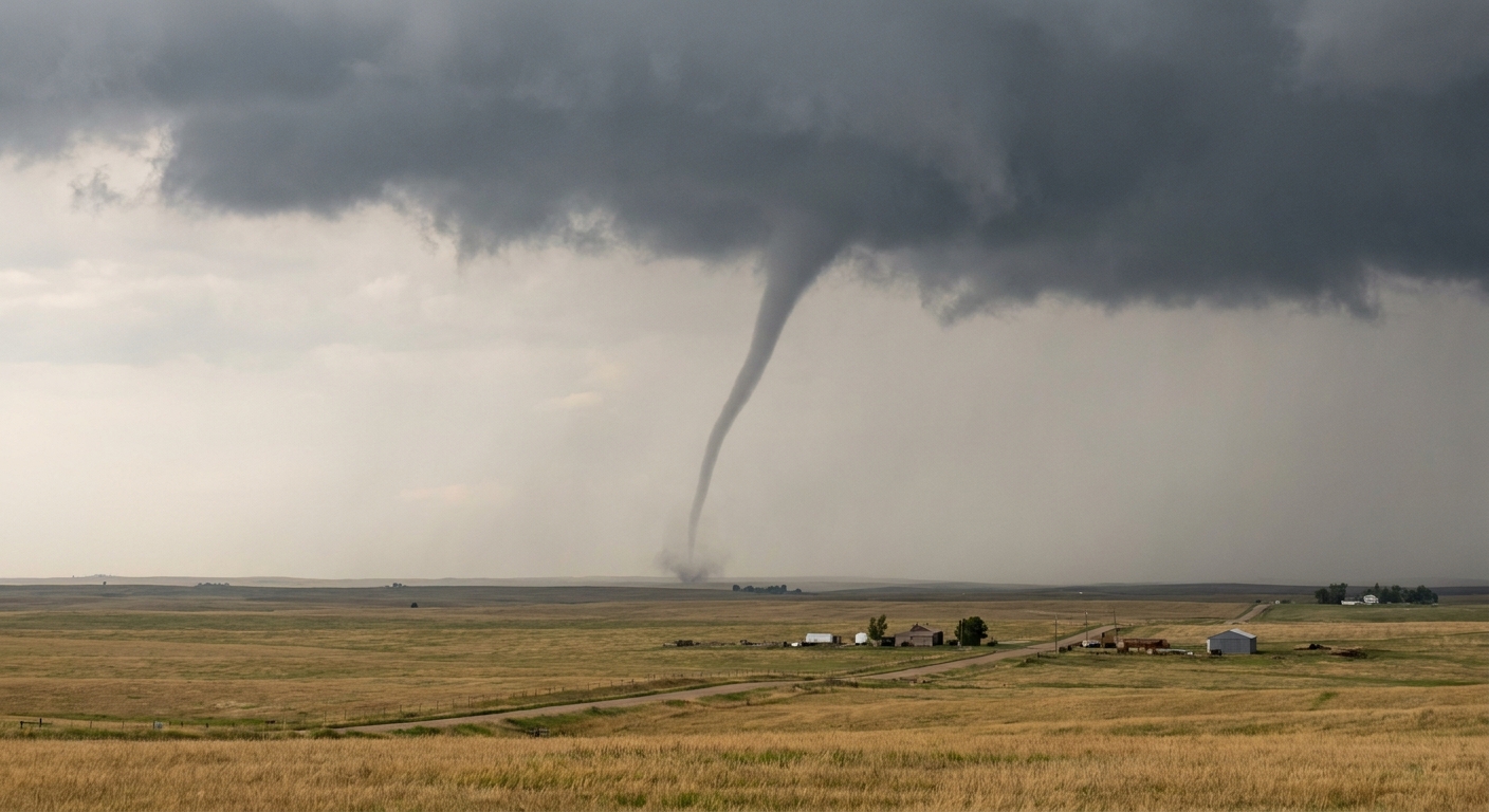
One more important clarification: a visible funnel cloud is not, by itself, “the tornado.” A tornado is defined by a rotating column of air in contact with the ground, even if the condensation funnel is thin, intermittent, or not fully visible.
Why do some severe storms never produce a tornado?
Because having a strong storm is not enough. The storm needs the right kind of low-level wind shear, the right structure of updrafts and downdrafts, and the right placement of boundaries. Small differences can prevent the near-ground spin from tightening.
Can scientists make better tornado warnings in the future?
Progress is steady. Better radar networks, more surface sensors, improved satellite data, and higher-resolution computer models all help. The hardest challenge remains observing and predicting the split-second, near-ground organization inside storms, where the atmosphere is most chaotic and our measurements are thinnest.