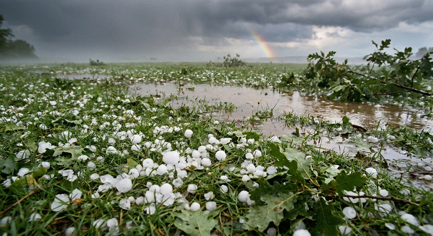
The first time I heard hail hammering a classroom window, my students thought it was someone throwing gravel at the building. That is the vibe: sudden, loud, oddly violent. But hail is not random. It is the end product of a very organized conveyor belt inside certain thunderstorms, where liquid water exists below freezing and the wind is strong enough to juggle growing ice stones again and again.
The storm setup: an updraft with muscle
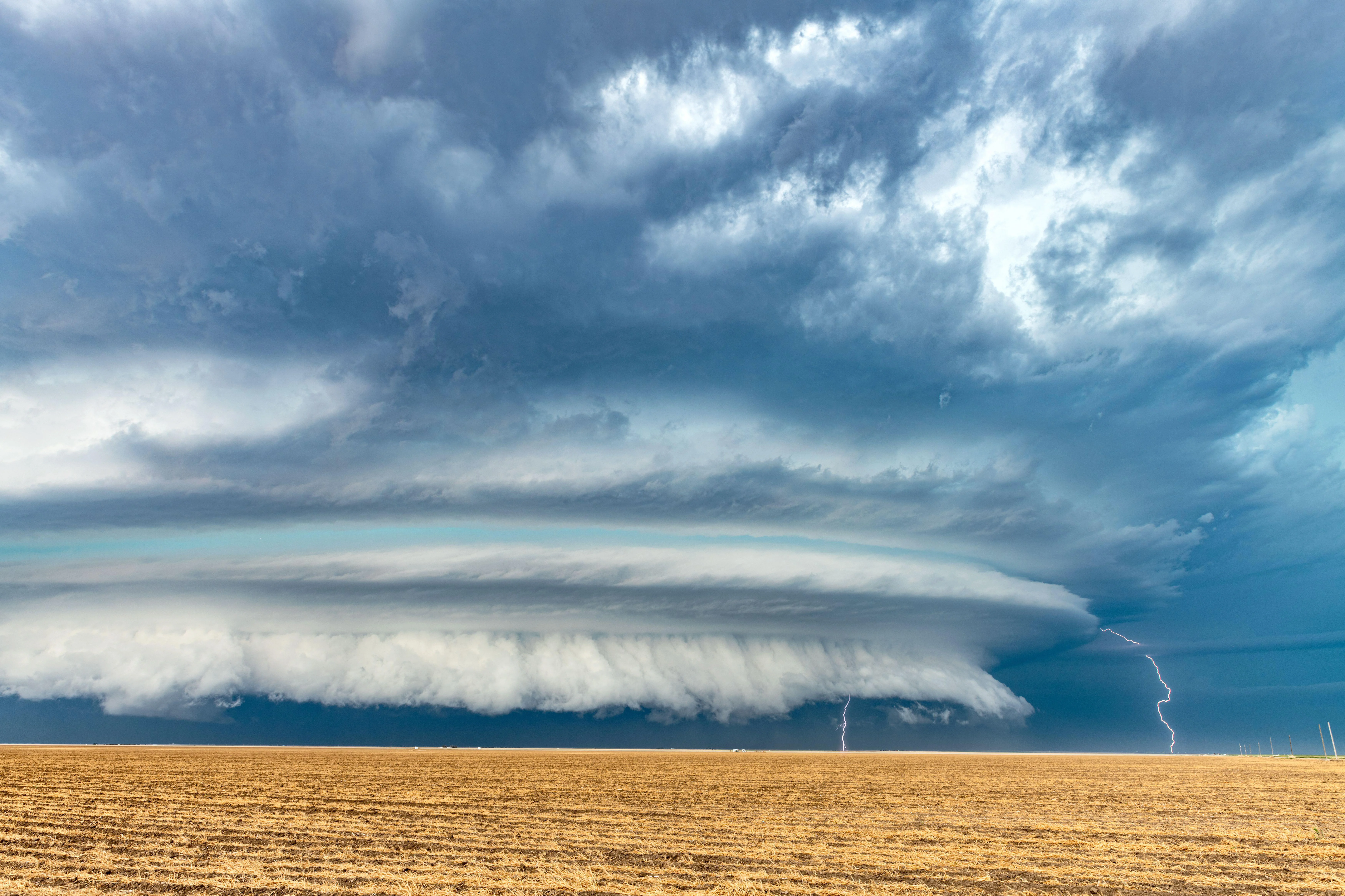
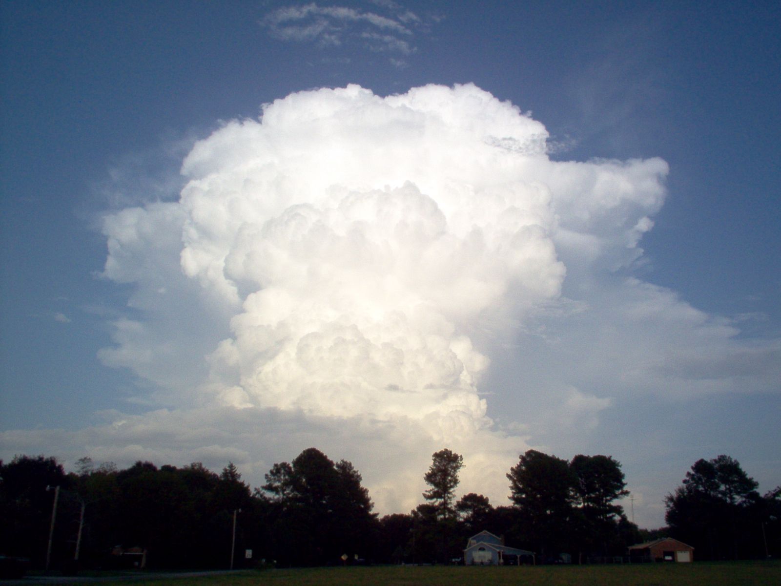
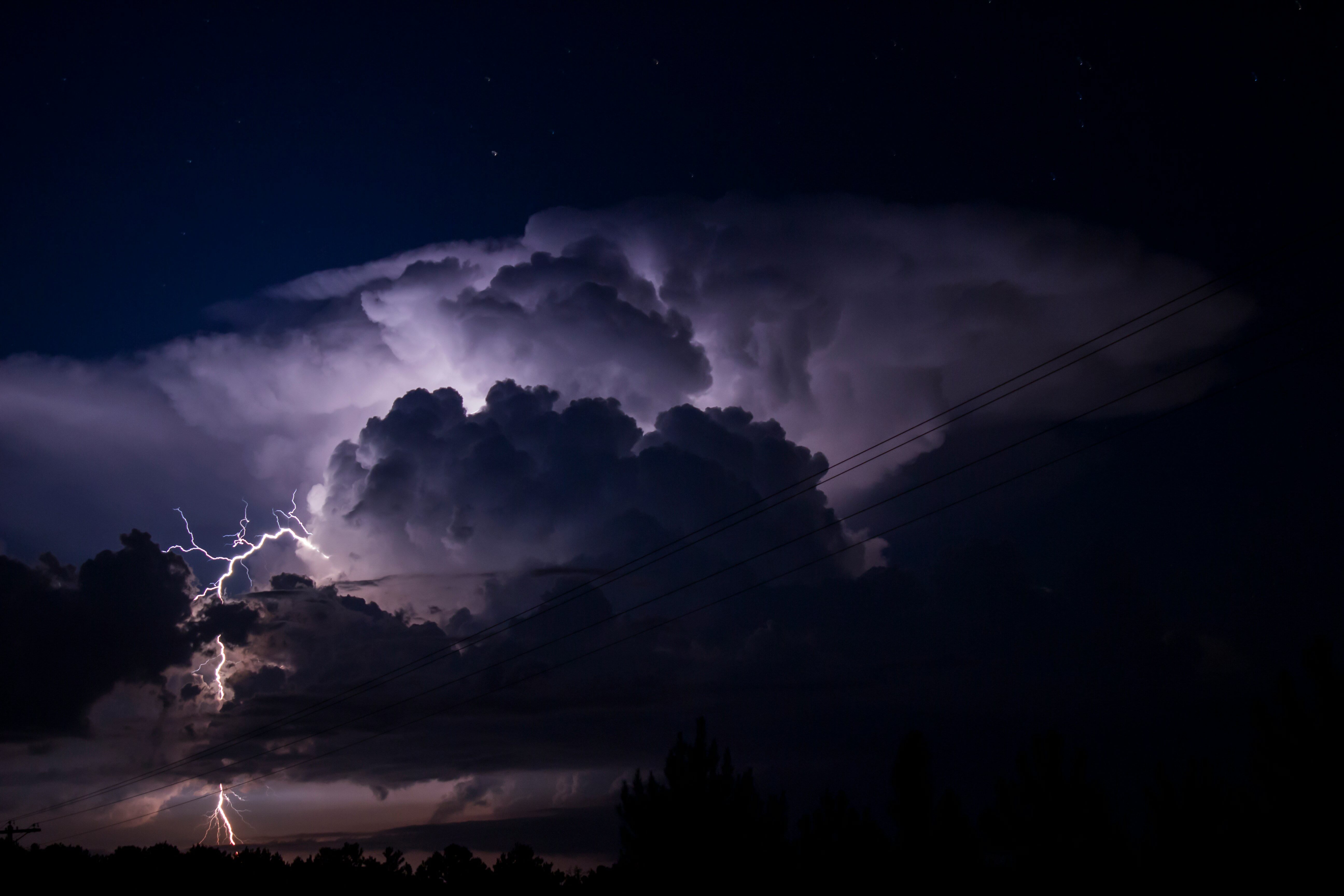
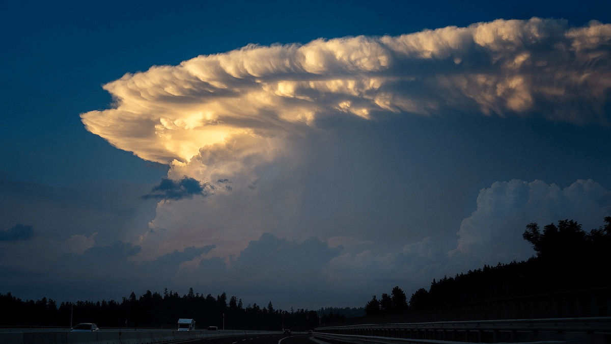
Hail forms in tall thunderstorms with strong updrafts, rising columns of air that can surge upward fast enough to keep ice aloft while it grows. In severe storms, those updrafts can reach roughly 50 to 100+ mph, sometimes higher. You will often hear meteorologists call the most hail-friendly storms severe or supercells, but hail can also form in other strong thunderstorms, including multicell storms and squall lines. The key ingredient is simpler: air rising fast enough to keep a growing ice stone from falling out too soon.
Here is the basic architecture:
- Warm, moist air feeds into the storm near the surface.
- The storm’s updraft carries that air upward, where temperatures drop with height.
- Higher up, the storm contains a mix of cloud droplets, ice crystals, and graupel-like pellets, all moving in turbulent loops.
In the right storm, the updraft and surrounding winds create a kind of three-dimensional loop. Particles are swept up, out, and back in again, repeatedly crossing the storm’s cold, wet zones where hail grows fastest.
Step 1: Supercooled water
One of the weirdest facts about clouds is that they can hold liquid water at temperatures below 0°C (32°F). These are supercooled droplets. They are liquid only because they have not had a good “starter crystal” to freeze around yet.
Supercooled water is common within parts of a thunderstorm where temperatures are below freezing, often in the mid-to-upper levels (roughly between 0°C and around -20°C, and sometimes colder depending on the storm). When something solid finally bumps into those droplets, freezing happens fast. This is the fuel hail runs on.
Step 2: A tiny ice seed forms
Hail usually begins as a small ice “embryo.” That starter can come from several places:
- An ice crystal formed high in the cloud that starts collecting liquid droplets.
- Graupel, a soft, pellet-like ice particle created when supercooled droplets freeze onto a snow crystal.
- A frozen raindrop that gets lofted back upward into subfreezing air.
Once an embryo exists, the storm can start building it up in layers.
Step 3: Layer-by-layer growth
A hailstone grows by accretion, which is just a fancy word for “stuff sticks to it.” In this case, supercooled droplets collide with the hail embryo and freeze onto it.
Dry growth vs. wet growth
Hailstones can develop different textures depending on how fast they are collecting water and how cold the surrounding air is.
- Dry growth: Droplets freeze almost instantly on contact, trapping air bubbles. This tends to make hail look cloudy or opaque.
- Wet growth: Droplets spread into a thin liquid layer before freezing. That can create a clearer, glassier layer because air bubbles escape more easily.
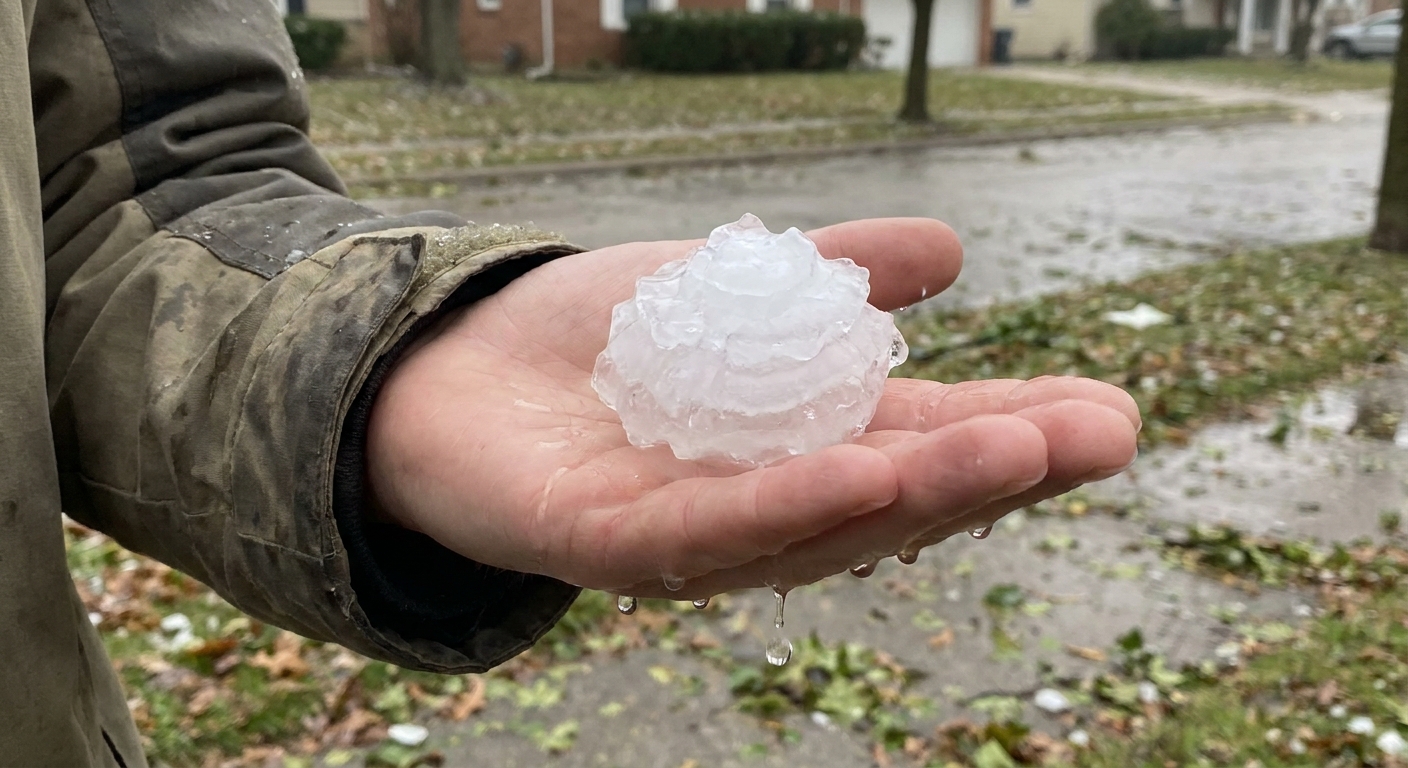
Many hailstones show alternating clear and cloudy bands. Think of it like tree rings, except the “seasons” are quick laps through different storm regions.
Why strong updrafts make big hail
Gravity is trying to pull every growing hailstone down. The updraft is trying to push it up. Size is the tug-of-war score.
A stronger updraft can support larger hail for two main reasons:
- More time aloft: If the updraft keeps the stone suspended, it can make more trips through supercooled water and keep adding layers.
- Access to growth zones: Strong updrafts loft stones into regions with abundant supercooled droplets, then turbulence and wind shear can cycle them back through again.
Eventually the hailstone becomes too heavy for the updraft to hold, or it gets shoved out of the updraft into weaker air. Then it falls. If it does not melt completely on the way down, you get hail at the surface.
What favors large hail
Without turning this into a forecasting guide, a few environmental ingredients tend to stack the deck toward larger hail:
- Lots of instability (CAPE): More buoyant energy can help build and sustain stronger updrafts.
- Strong vertical wind shear: Changing winds with height can organize storms, helping hailstones stay in the “sweet spot” longer instead of falling out quickly.
- A lower freezing level: If the 0°C level is not extremely high, hail has less warm air to plow through on the way down, so more of it survives.
Put simply: stronger, better-organized storms can recycle hail embryos more efficiently, giving them more time and more water to work with.
What controls melting on the way down
Plenty of hail forms aloft and never makes it to the ground. Whether it survives the fall depends on the atmosphere below the storm:
- Temperature and wet-bulb temperature: A deeper warm layer and a higher wet-bulb temperature mean faster melting.
- Humidity: Drier air can enhance evaporative cooling and sublimation around the stone, which can slow melting a bit, but it is not a magic shield.
- Size and shape: Larger stones fall faster, and they also have more mass compared to their surface area, so they are harder to melt away completely.
That is why two storms can produce similar hail aloft, but only one delivers it to your driveway like a bag of ice dumped from the sky.
Hail vs. sleet vs. graupel
These get mixed up because they are all “ice falling from the sky,” but they come from different weather setups.
- Hail: Built inside thunderstorms by strong updrafts, growing in layers as supercooled droplets freeze onto an embryo.
- Sleet: Forms in winter weather when raindrops fall through a deep enough subfreezing layer near the surface and freeze into ice pellets before hitting the ground.
- Graupel: Soft, crumbly pellets that form when supercooled droplets freeze onto snow crystals, often in cold clouds. Graupel can be part of the hail “starter set,” but by itself it is usually smaller and less dense than hail.
A simple mental model
If you want one picture to keep in your head, make it this: a hailstone is a small ice seed riding a powerful elevator (the updraft). Each time it passes through a floor filled with supercooled droplets, more water splashes on and freezes. Stronger elevator, more trips, bigger stone. When the elevator can no longer hold it, gravity takes over and you hear that unmistakable drumming on the roof.
Staying safe
If hail is falling, get under solid shelter and stay away from windows. Even small hail can injure people and animals, and larger hail can damage cars, roofs, and skylights in minutes.
FAQ
Can hail form when it is warm at the ground?
Yes. Hail grows high in the storm where it is below freezing. It can fall through warm air and still reach the ground if it is large enough or the warm layer is not thick enough to melt it completely.
Why are some hailstones spiky or lumpy?
Growth is messy. Uneven collisions, partial melting, and refreezing can create bumps. Multiple embryos can also fuse, producing a lumpy “cluster” stone.
Is all hail layered?
Most hail shows some layering because it grows in episodes, but the layers are not always neat or easy to see. Wet growth can make smoother, clearer regions, while dry growth tends to look whiter and more bubbly.