Curiosity, with all its quills showing.
Sometimes the wind is simple: it blows, you notice, you move on. But in weather, the most interesting wind is often the wind you do not feel at the surface. It is the wind changing from here to there or from low to high. That change is called wind shear, and it quietly decides whether a storm stays a messy rain shower or organizes into something that can throw hail, spawn tornadoes, or jostle an airplane.
Wind shear, in plain terms
Wind shear means the wind changes over a short distance. The change can be in:
- Speed (for example, 10 mph here, 40 mph nearby)
- Direction (for example, blowing from the south here, from the west nearby)
- Or both at once
Meteorologists often talk about shear in two main flavors:
- Vertical wind shear: wind changes with height.
- Horizontal wind shear: wind changes across horizontal distance (from one place to another).
If you have ever noticed a breezy day at treetop level while the air near the ground feels calmer, you have experienced the idea behind vertical shear, even if the numbers were small. If you have felt the wind swing and freshen as a cold front passes, you have felt the idea behind horizontal shear.
Vertical wind shear
Vertical wind shear is how wind speed or direction changes as you go up in the atmosphere. The lower atmosphere might be slow and humid, while a few thousand feet up the wind is faster and coming from another direction.
A simple word diagram
Picture the atmosphere as stacked layers:
Higher up:   fast wind  --> --> --> (from the west)
Mid-level:   moderate wind  --> -->
Near ground: slow wind  ^ (from the south)
That difference, between the bottom and the top, is vertical shear. It can be described over a depth, such as the lowest 1 km or 6 km of the atmosphere, because storms have different parts that live at different heights.
Why changing wind with height matters
A thunderstorm is basically an engine that moves air up and down. If the wind aloft is very different from the wind near the ground, the storm can get tilted and organized instead of choking on its own rain.
One helpful mental image is this:
Little shear: updraft rises, rain falls right into it
             (storm can weaken sooner)

More shear:   updraft leans downwind, rain falls away from it
             (storm can keep breathing)
This is one reason strong vertical shear is common in environments that support long-lived severe thunderstorms.
Horizontal wind shear
Horizontal wind shear is wind changing over distance across the ground. This can happen along boundaries like cold fronts, sea breezes, and outflow from thunderstorms. It can also occur aloft, including near strong upper-level wind gradients and jet streaks.
A simple word diagram
Left side of boundary:  wind --> --> (fast)
Right side of boundary: wind -->     (slow)

Or

North side: wind --> (from the west)
South side: wind ^   (from the south)
Where the change is sharp, the air can develop turbulence and vorticity, including a rolling tendency in the flow rather than a guaranteed, tidy spin. If a thunderstorm updraft passes over that sheared air, it can sometimes lift and stretch it in ways that help rotation organize.
Wind shear and severe thunderstorms
Severe thunderstorms need more than warm, humid air. They also need a way to stay organized. Wind shear is one of the big organizers.
How shear helps storms persist
In many cases, vertical shear helps separate a storm’s updraft (rising warm air) from its downdraft (cool air and rain falling out). When those are too close together, the storm can cut off its own supply of warm air.
With stronger shear, storms can become more structured, including:
- Multicell clusters, where new updrafts repeatedly form on one side of the system.
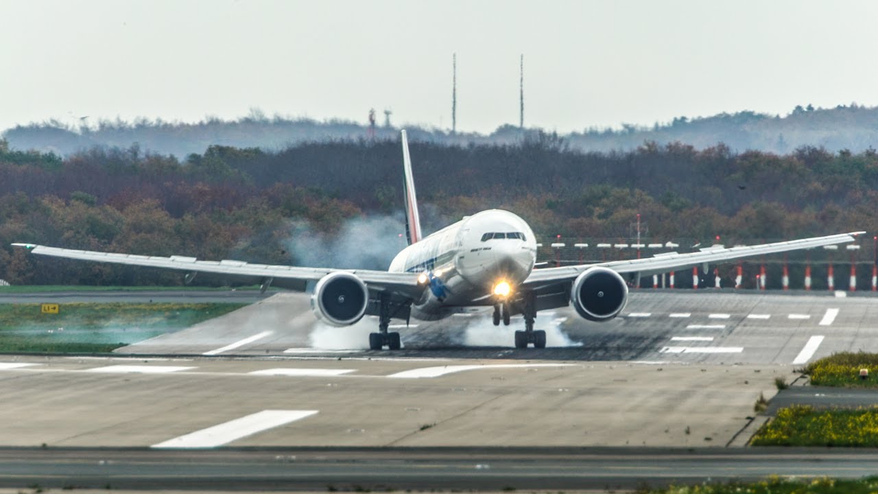
- Squall lines, where storms line up along a boundary and feed on a broad inflow.
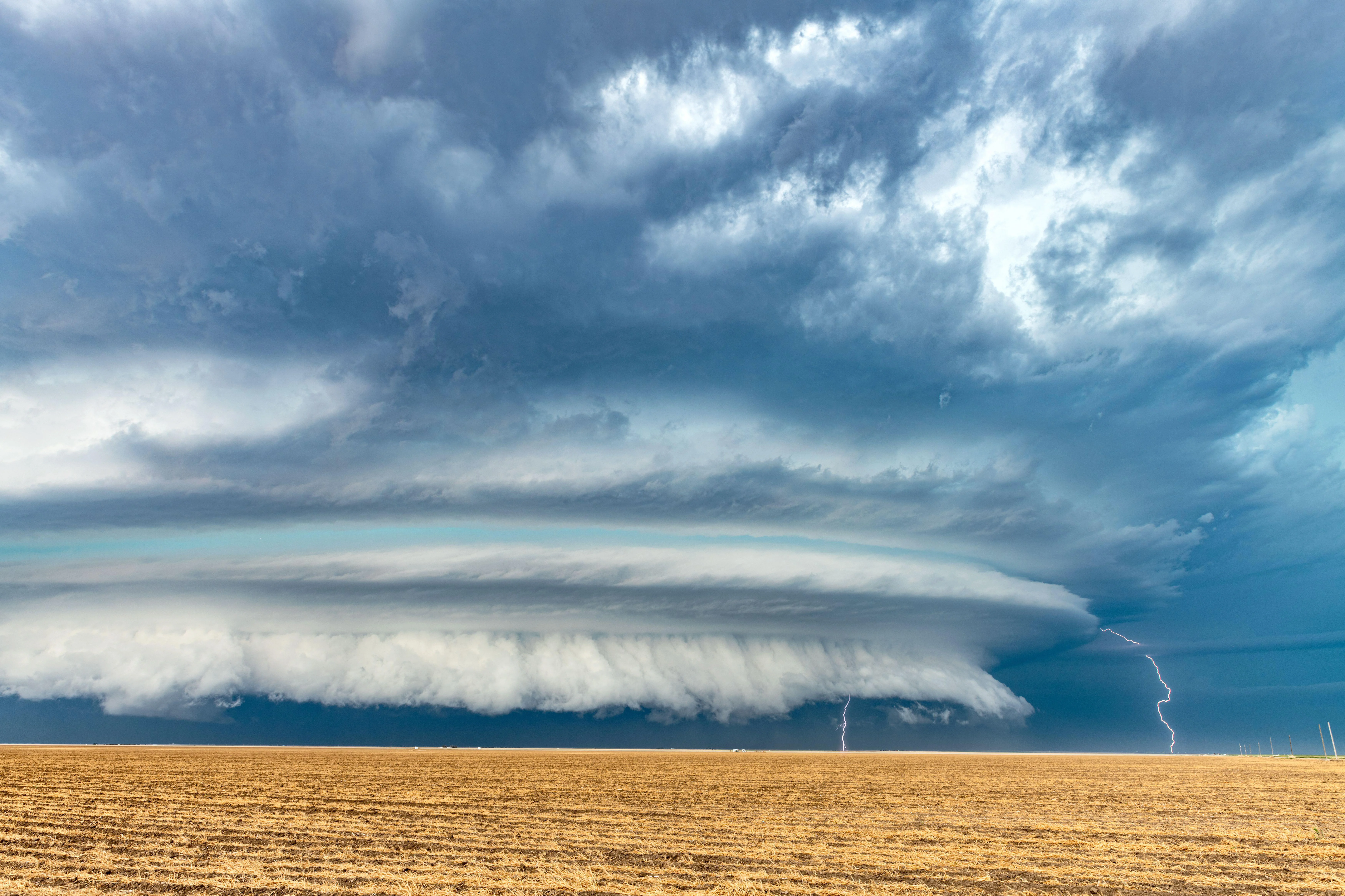
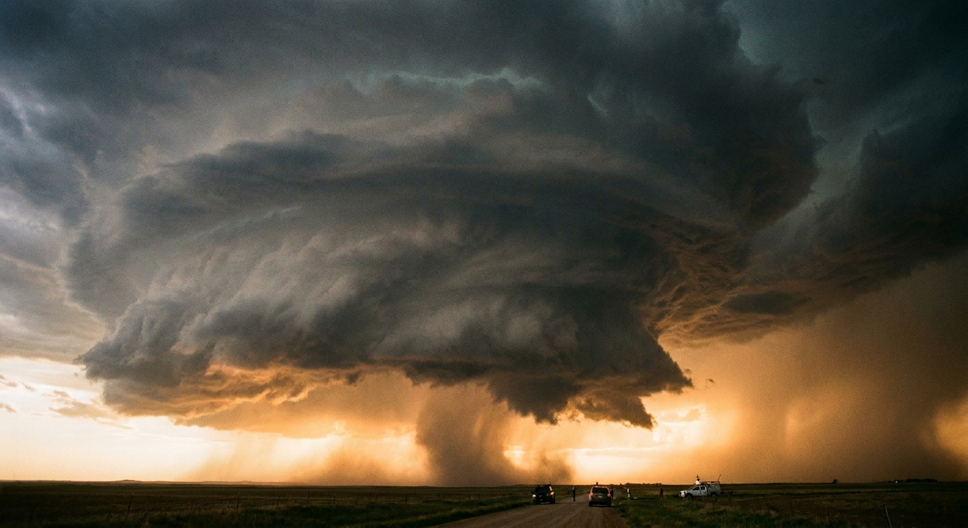
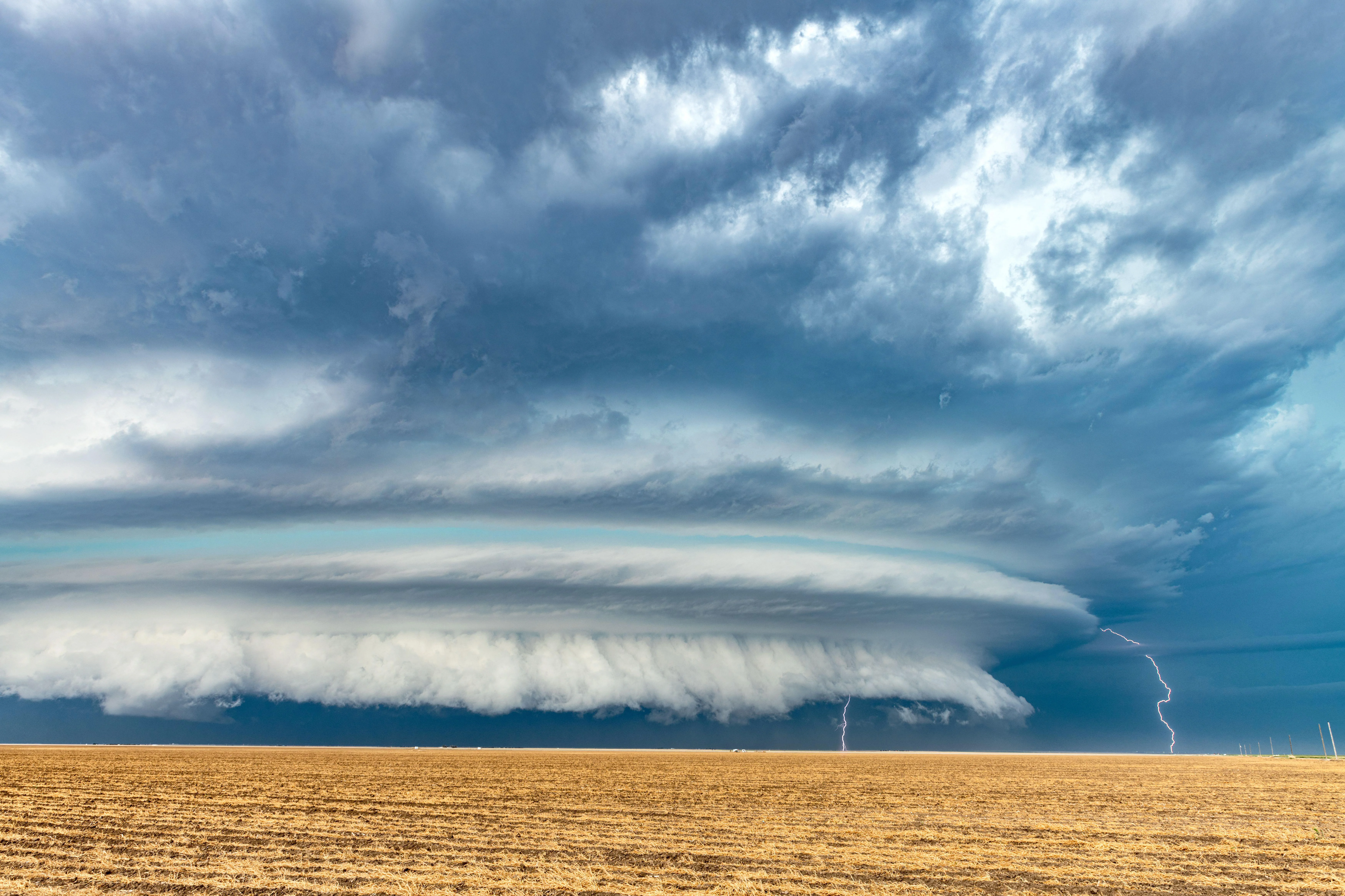
- Supercells, which are rotating thunderstorms that can produce large hail, damaging winds, and sometimes strong tornadoes.
Many supercells never produce tornadoes, but most significant tornadoes are associated with supercell storms. (Weather loves its exceptions, but it also loves its patterns.)
Shear and rotating storms, one careful step at a time
Rotation in storms is easy to misunderstand, so let’s keep it grounded. Wind shear can create a rolling, tube-like motion in the lower atmosphere. When a strong updraft lifts that rolling motion, part of it can be tilted upward and stretched, which can intensify rotation inside the storm.
Wind changes with height  -> rolling motion in the air
Updraft lifts and stretches -> rotation can strengthen in the storm
Shear is not a guarantee of tornadoes, but it is one ingredient that can make rotating storms more likely when instability and moisture are also present.
Wind shear and hurricanes
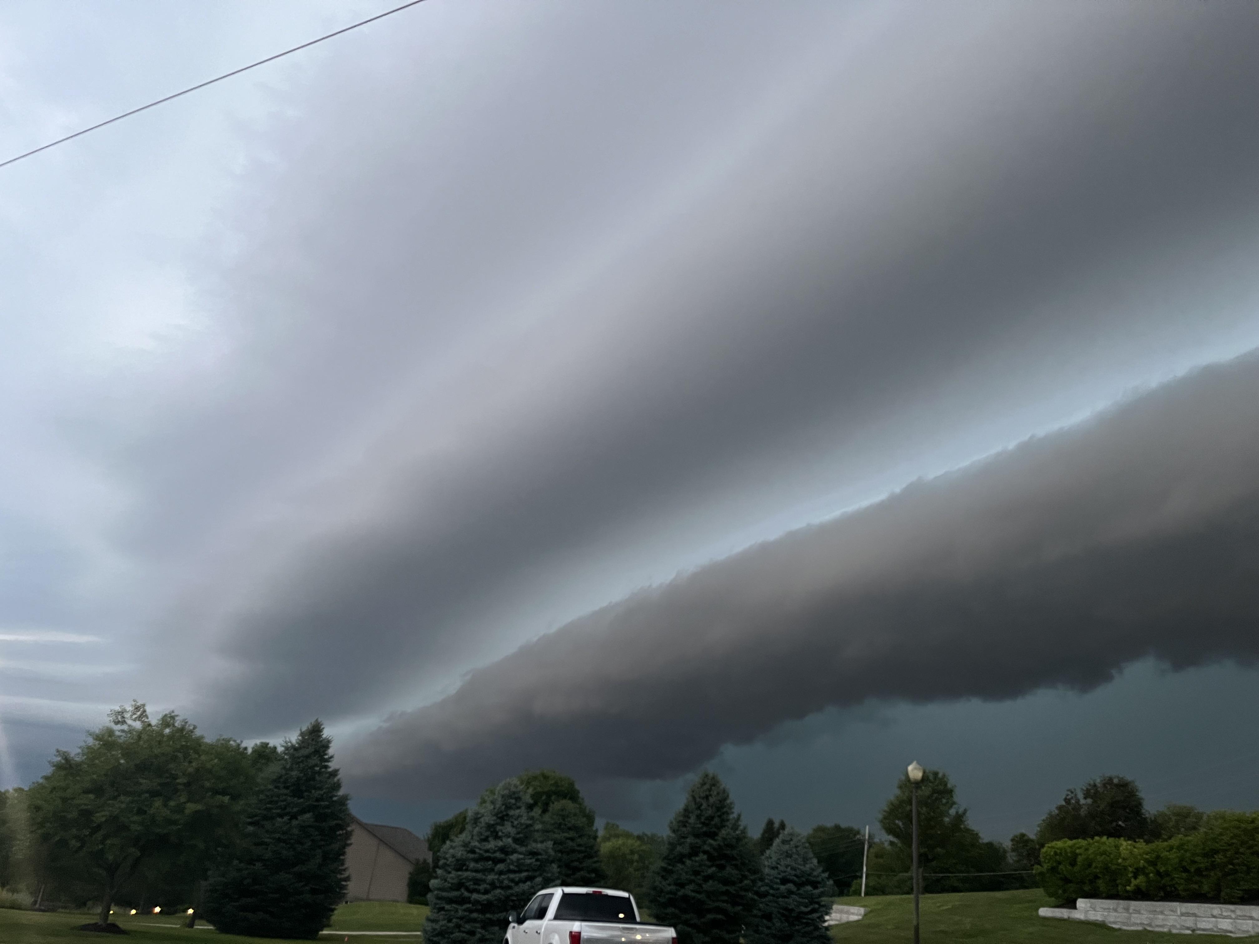
Tropical cyclones, including hurricanes, are heat engines that prefer a fairly aligned, upright structure. Because of that, vertical wind shear can be either a suppressor or a reshaper, depending on strength and how it interacts with the storm.
When shear suppresses hurricane development
Strong vertical shear tends to:
- Tilt the storm’s circulation, separating the low-level center from thunderstorms aloft.
- Ventilate the storm by blowing its tall thunderstorm towers away from the center.
- Disrupt the symmetric, wrapped convection that helps a hurricane intensify.
In simple terms, a developing tropical system wants its rising air and its circulation stacked neatly. Strong shear knocks that stack out of alignment.
When shear does not kill a hurricane outright
Moderate shear can sometimes coexist with a hurricane, especially if the storm is large, moving into very warm water, or otherwise in a favorable environment. In those cases, shear often makes the storm lopsided, with heavier rain and stronger thunderstorms on one side.
Low shear: thunderstorms tend to wrap around the center
Higher shear: thunderstorms concentrate downshear (to one side)
If you have seen radar or satellite loops where a hurricane’s deepest clouds are displaced away from the eye, you have seen shear leaving fingerprints.
Wind shear and aviation turbulence
If thunderstorms are shear’s dramatic theater, aviation is its practical one. Aircraft care deeply about how wind changes with space, because rapid changes force rapid adjustments.
Two common ways shear bothers aircraft
- Clear-air turbulence: Bumpy air away from clouds, often near jet streaks aloft or where fast and slow air meet. You may not see it, but the atmosphere can still be full of sharp velocity changes.
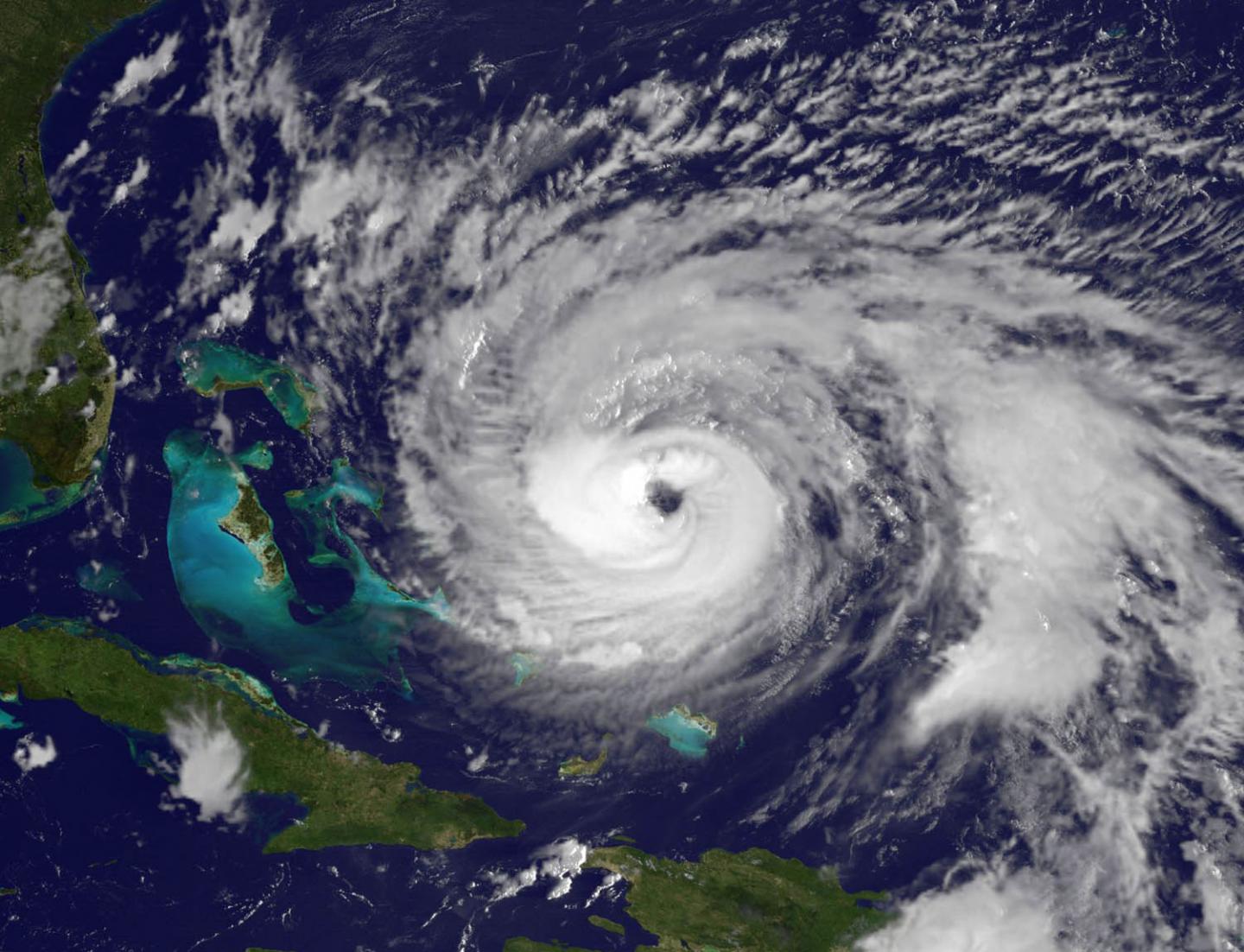
- Low-level wind shear: Abrupt changes in wind near the ground, especially around thunderstorms, frontal boundaries, sea-breeze fronts, or terrain. During takeoff and landing, planes operate close to their minimum safe speeds, so sudden wind changes matter more.
Microbursts: a famous shear problem near storms
A microburst is a powerful downdraft that hits the ground and spreads out. For an aircraft on approach, that can create a dangerous sequence of wind changes: an increasing headwind (or decreasing tailwind) that briefly boosts performance, followed by a downdraft and then a tailwind that reduces airspeed.
Approach path through a microburst:
1) Increasing headwind (or decreasing tailwind) -> airspeed increases
2) Downdraft                              -> sink increases
3) Tailwind                               -> airspeed drops
This is why airports use wind shear detection systems and why pilots treat thunderstorms near the runway with real respect.
How meteorologists talk about shear
Shear can be described in a few related ways:
- Speed shear: wind speed changes with height or distance. (Example: 15 mph at the surface, 50 mph at 5,000 feet.)
- Directional shear: wind direction changes with height or distance. (Example: southerly wind near the ground turning westerly aloft.)
- Bulk shear: the difference between winds at two levels, such as near the surface versus several kilometers up.
- Shear over a layer: for example, “0 to 6 km shear,” focusing on the depth relevant to thunderstorm structure.
You may also hear forecasters mention 0 to 1 km shear (lower-level winds that matter for storm inflow) or storm-relative helicity, a related measure that estimates how the wind profile can support rotating updrafts. You do not need to memorize numbers to follow the story. The key idea is that storms and aircraft feel differences in wind, not just wind itself.
Quick ways to picture it
Vertical shear (with height)
Ground:      wind from south  ^
Higher up:   wind from west   --> --> -->
Meaning: wind turns and/or speeds up with height
Horizontal shear (across distance)
West side:  fast wind  --> --> -->
East side:  slow wind  -->
Meaning: wind changes quickly across a short distance
If you keep those two sketches in your pocket, you can decode a lot of weather talk that otherwise sounds like jargon.
FAQ
Is wind shear good or bad?
Neither by itself. Wind shear is a physical condition. It can help organize severe thunderstorms, suppress hurricane intensification, and create turbulence for aviation. Whether it is “good” depends on what you are hoping the atmosphere will do.
Can you have wind shear on a clear day?
Yes. Strong wind changes with height can exist without clouds, especially near jet streams and strong temperature contrasts aloft. That is one reason clear-air turbulence can occur in apparently calm skies.
Does wind shear cause tornadoes?
Wind shear can increase the odds that storms become organized and rotating, but tornado formation also depends on instability, moisture, storm-scale processes, and details near boundaries. Shear is an important ingredient, not a single switch.
What is the difference between wind shear and turbulence?
Wind shear is the change in wind over distance. Turbulence is the bumpy, chaotic motion that can result when air flows become unstable, often because shear is strong. Shear can create turbulence, but they are not the same thing.
A last, practical takeaway
Wind speed tells you how hard the atmosphere is pushing. Wind shear tells you how unevenly it pushes. That unevenness is where storms find structure, hurricanes find trouble, and airplanes find bumps.
When you see forecasters talking about “strong shear” or “shear increasing,” they are often hinting at a bigger story: not just what the weather is doing, but how well the atmosphere is setting the stage for organized, persistent motion.