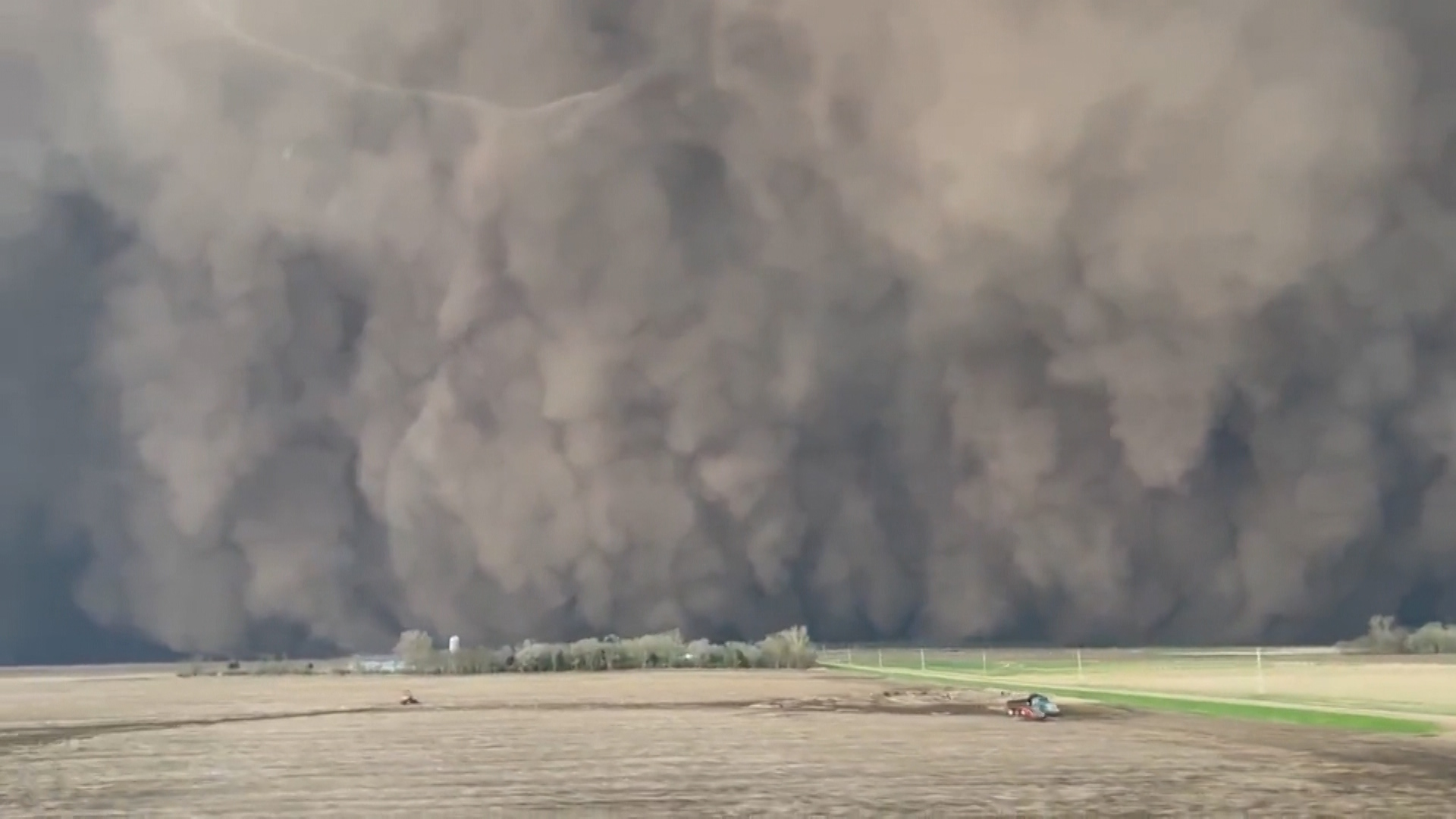
The first time I saw a squall line “in the wild,” I was packing up a backyard telescope after an otherwise calm evening. The stars were out, Quark was doing his usual golden retriever patrol of the fence line, and then the western sky turned into a single, continuous bruised strip. It did not look like one storm. It looked like the atmosphere had decided to draw a ruler-straight boundary and push it toward me.
That is the signature of a squall line: not a lonely thunderstorm cell, but a long, organized line of thunderstorms linked by a shared gust front and a forward-surging push of wind and rain.
Squall line, defined
A squall line is a long band of thunderstorms that forms along or just ahead of a boundary in the atmosphere. Many squall lines are part of a broader mesoscale convective system (MCS), meaning they are organized thunderstorm complexes on the scale between individual storms and large weather systems.
Size-wise, think tens to hundreds of miles long, not necessarily a continent-spanning wall every time. The storms are “linked” by a shared outflow of air near the ground called a gust front.
In plain language: a squall line is what you get when thunderstorms stop acting like scattered popcorn and start marching like a coordinated crowd.
What makes it different from ordinary thunderstorms?
- It is linear. The storms are arranged in a line or narrow band, not randomly scattered.
- It shares one main trigger. A shared outflow boundary (the gust front) continually helps fire new updrafts along the same edge.
- It can maintain itself for hours. New storms can repeatedly form on the leading edge as older ones weaken behind it.
The gust front: the squall line’s plow
Here is the key physics move. When a thunderstorm dumps rain into drier air, some of that rain evaporates. Evaporation steals heat from the air, cooling it. Cooler air is denser, so it sinks and spreads out when it hits the ground.
That spreading pool of cooler air is the outflow. Its leading edge is the gust front, and it behaves a lot like the front edge of a snowplow. As it surges forward, it lifts warm, humid air ahead of it. Lift warm moist air enough, and you get condensation, clouds, and potentially fresh thunderstorm updrafts.
So a squall line often sustains itself by repeatedly building new updrafts right on its leading edge, using its own outflow as the trigger.
What it looks like on radar
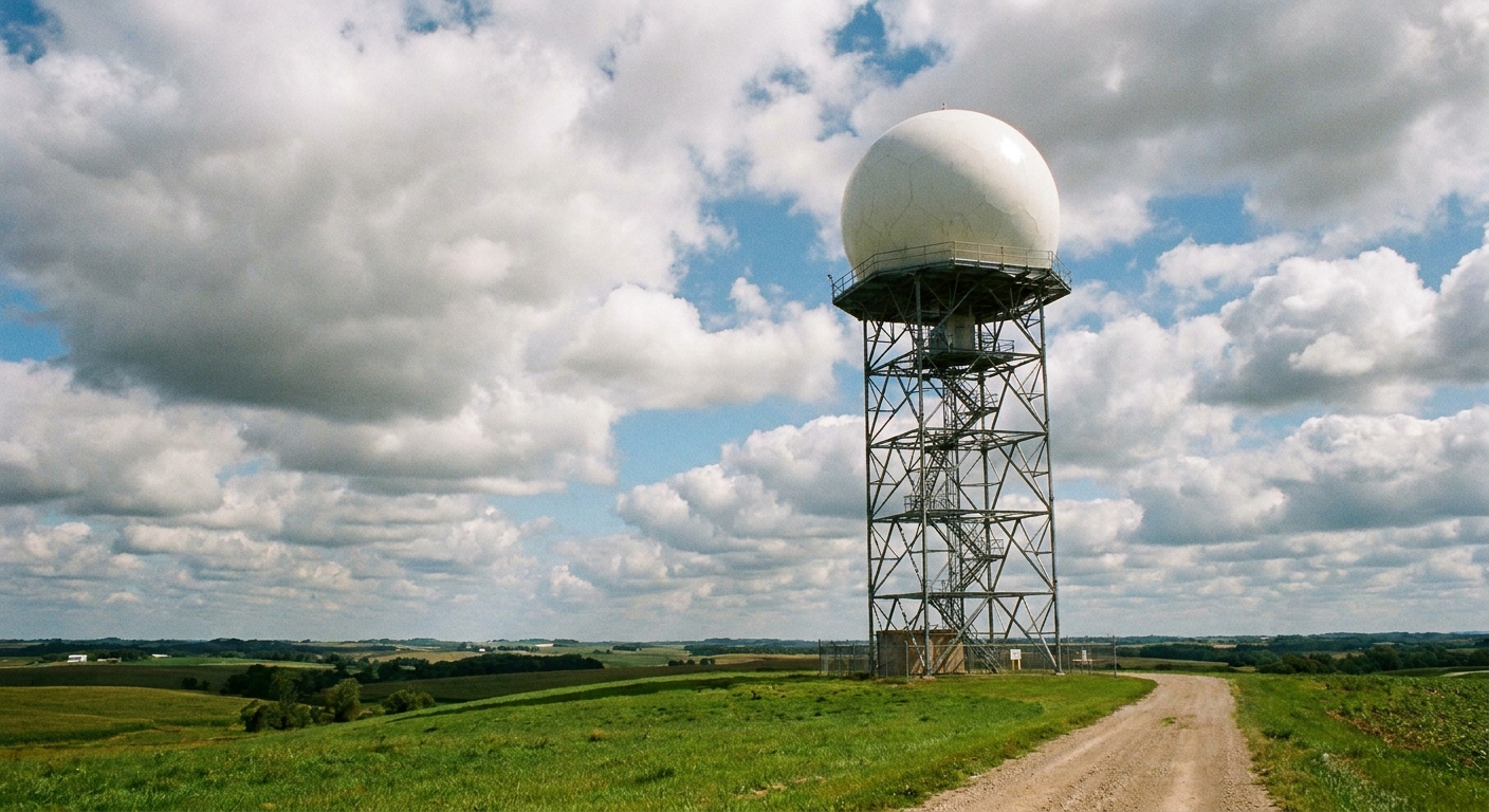
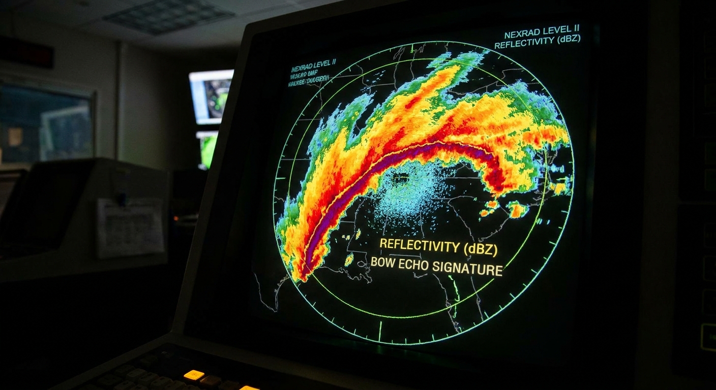
On weather radar, a squall line usually shows up as a narrow band or arc of higher reflectivity indicating heavier precipitation embedded in thunderstorms.
A quick note: radar is measuring reflectivity values. The colors you see depend on the app or site. Higher reflectivity is often shown as yellows, reds, and sometimes purples, depending on the display.
Common radar features
- A continuous or broken line of storms: Sometimes the line is solid, sometimes it is a string of strong cells close together.
- Bow-shaped segments: Parts of the line may bulge outward into a “bow echo”, often a sign that winds are intensifying and pushing the line forward.
- Trailing stratiform rain: Many squall lines develop a broader area of lighter, steadier rain behind the leading edge. Think of it as the storm’s wake.
If you have ever watched radar and noticed a long ribbon of storms sweeping across multiple counties with a sharp leading edge, you were likely looking at a squall line.
How long it lasts
A squall line often lasts several hours. Many persist in the rough neighborhood of 6 to 12 hours, some fizzle in 2 to 4 hours, and a well-supported, fast-moving system can push beyond 12 hours, especially when it matures into a larger, long-lived MCS.
What controls the lifespan is basically fuel and organization:
- Moisture and instability: Warm, humid air provides energy for updrafts.
- Wind shear: Changes in wind speed or direction with height help storms stay organized rather than collapsing on themselves.
- Forcing along a boundary: Cold fronts, drylines, and other atmospheric boundaries can keep the lift going.
One important note: a squall line does not need to meet any special “named” threshold to be a squall line. Some lines produce widespread, long-track wind damage and earn a separate classification. Many do not. The structure is the point here: a long line of thunderstorms sharing a gust front.
Where they tend to form
Squall lines often show up where lift, instability, and shear overlap. Common setups include lines along cold fronts, pre-frontal troughs, and drylines, plus nocturnal MCSs that organize and roll through after dark once the atmosphere finds a groove.
You will see them most often in the warm season in many places, but they are very much a year-round concept. If a strong front brings enough instability and the wind profile cooperates, a cool-season squall line can still mean business.
What to expect as one approaches
Squall lines are famous for packing multiple hazards into a relatively short window. In many places, the most intense conditions arrive quickly and can feel surprisingly cold-front-like. The hardest punch is often concentrated in something like 10 to 30 minutes near the leading edge, followed by a steadier period of rain behind it.
Common hazards
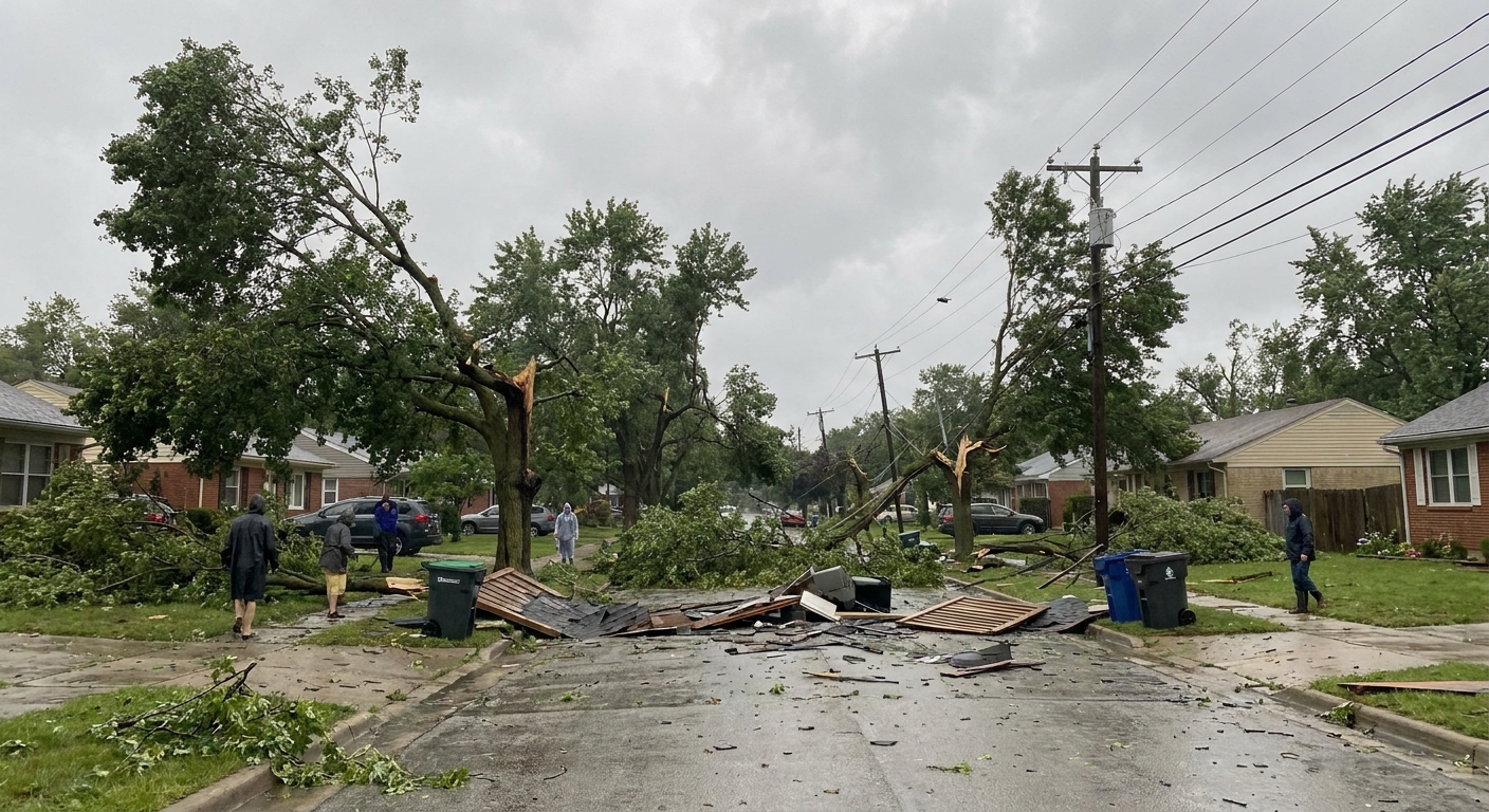
- Straight-line winds: Often the biggest threat. These can be strong enough to bring down trees and power lines, especially in bowing segments.
- Heavy rain: Intense downpours can reduce visibility fast and cause localized flooding.
- Frequent lightning: Even if the storm does not look tornado-like, lightning can be prolific along the line.
- Hail: More likely when individual strong cells are embedded in the line.
- Brief tornadoes: Not as common as in isolated supercells, but squall lines can spin up quick tornadoes, particularly near kinks, breaks, and rotating pockets along the leading edge. Meteorologists often call these QLCS mesovortices, and they can be rain-wrapped and fast developing.
If you have ever experienced a sudden blast of wind, followed by a wall of rain, followed by a steady soaking after the worst passes, you have felt the front-loaded personality many squall lines have.
What you might see
Radar is great, but most of us meet squall lines by looking out a window. Visually, a squall line can announce itself with:
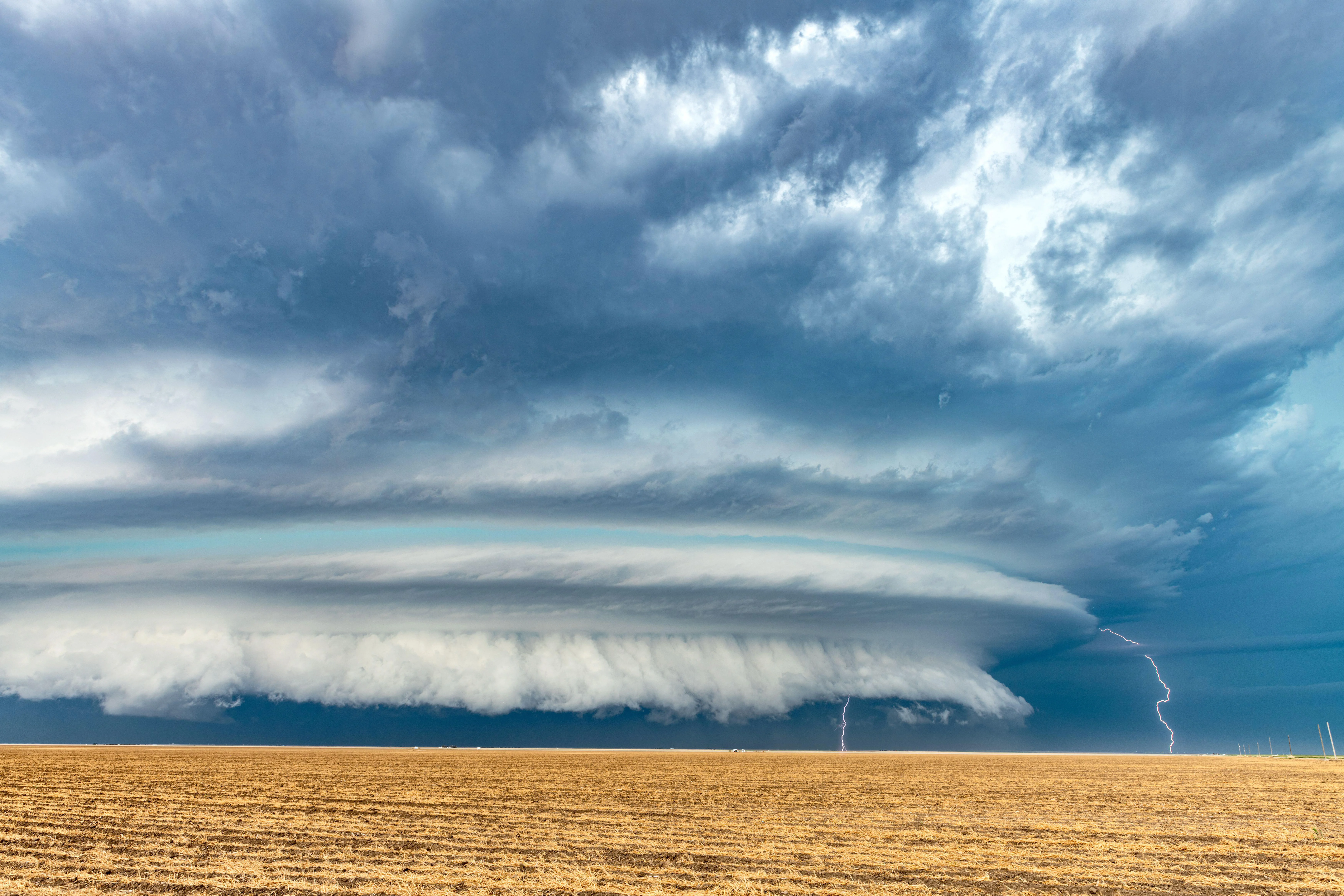
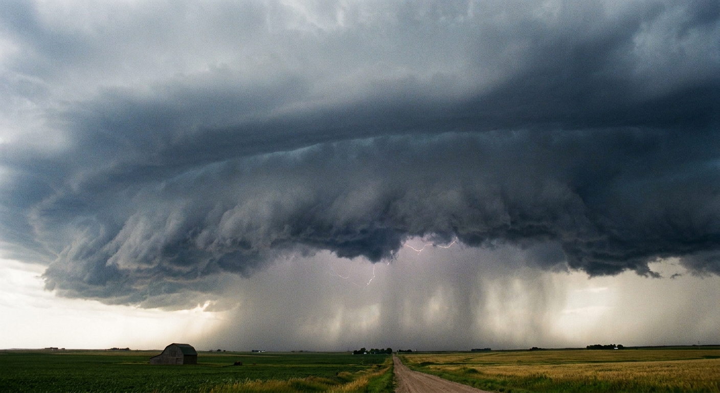
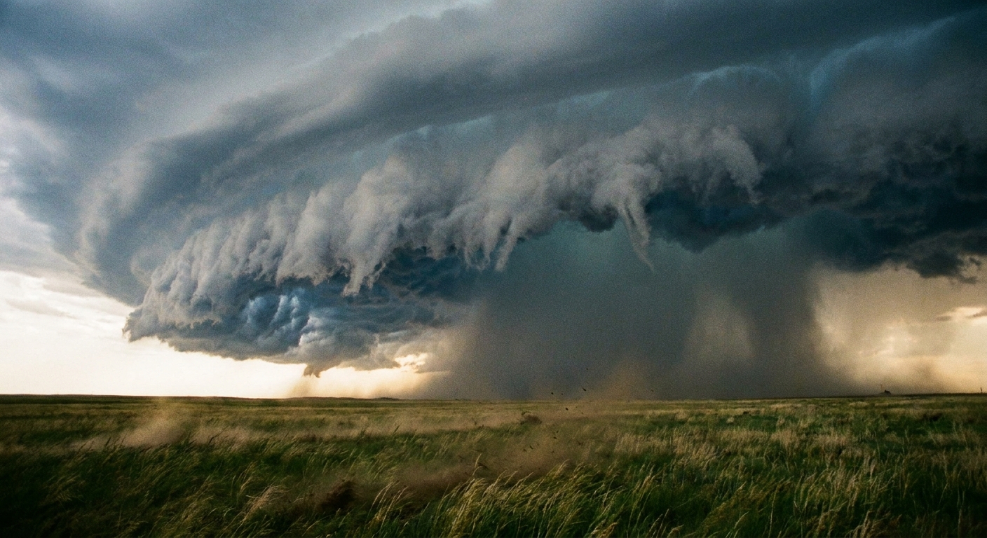
- A shelf cloud: A low, horizontal cloud that looks like a ledge rolling in ahead of the rain. This is often tied to the gust front.
- A sharp wind shift: Leaves flip, trees lean, and the air can feel noticeably cooler within minutes.
- A curtain of precipitation: A darker, opaque region where rain and hail are falling heavily.
Not every squall line produces dramatic shelf clouds, but when they do, it is one of the clearest visual hints that a strong gust front is leading the charge.
Similar storm terms
Weather vocabulary can get crowded fast. Here is how a squall line fits in with a few nearby concepts:
- Squall line vs. cold front: A cold front is a large-scale boundary between air masses. A squall line can form along a cold front, ahead of it, or along other boundaries. The front is the setup, the squall line is the thunderstorm structure.
- Squall line vs. microburst: A microburst is a localized, intense downdraft that hits the ground and spreads out, typically affecting a much smaller area. A squall line is a long, connected system.
- Squall line vs. supercell: A supercell is a single, highly organized rotating thunderstorm. Squall lines are collections of storms organized along a boundary. Supercell-like storms can be embedded within a line, but the overall structure is still linear.
- Squall line vs. snow squall: Snow squalls are brief, intense bursts of snow and wind in cold-season setups. A squall line is thunderstorm-based. Squall lines are common in warm season patterns, but can occur any time of year when thunderstorms are possible.
- Squall line vs. derecho: A derecho is a damage classification for certain long-lived, widespread windstorms. Some squall lines produce derechos, many do not.
Safety basics
Squall lines can look less “tornado scary” than a classic rotating supercell, which sometimes tricks people into taking them less seriously. Do not. Straight-line winds can be just as destructive.
- Get indoors before the leading edge arrives. The most dangerous wind often comes right as the line hits.
- Stay away from windows during the strongest winds. Treat it like any severe thunderstorm warning.
- Do not drive into the core. Heavy rain can create near-whiteout conditions, and wind can push vehicles unexpectedly, especially high-profile ones.
- Assume downed lines are live. Wind damage commonly brings trees into contact with power lines.
- Use alerts the right way. A severe thunderstorm warning is a big deal in a squall line. A tornado warning in a QLCS setup can be especially urgent because spin-ups may be short-lived and hard to see.
Quick FAQ
Can a squall line produce tornadoes?
Yes. Squall lines can spin up brief tornadoes, often fast-developing and sometimes embedded in heavy rain. They are typically less long-lived than classic supercell tornadoes, but they can still be dangerous.
Is a squall line always severe?
No. A squall line is a storm structure, not a guarantee of warnings. That said, squall lines are efficient at producing strong winds and heavy rain, so they are frequently associated with severe weather.
Why do winds feel so sudden?
Because the gust front can arrive like a moving wall of dense, rain-cooled air. The wind jump is literally the leading edge of that air spreading out along the ground.
What is the most common hazard?
For many squall lines, it is straight-line wind, especially where the line bows outward and accelerates.
The takeaway
A squall line is a long, organized line of thunderstorms tied together by a shared gust front. On radar it often appears as a narrow band or arc of stronger reflectivity, sometimes bowing outward where winds are strongest. And while lifespans vary, many lines keep going for hours, not minutes, which is why they can affect such large regions in a single sweep.
If you spot that ruler-straight wall of cloud on the horizon, or see a long ribbon of storms on radar heading your way, it is worth taking seriously. The atmosphere has switched from soloists to a full marching band.