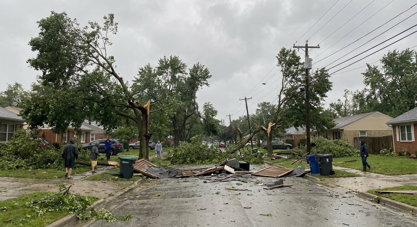
The first time I saw the aftermath of what meteorologists later called a microburst, it looked like a giant had stomped a neighborhood and then dragged their foot outward in every direction. Trees were down, patio furniture was scattered, and fences leaned away from a central point like spokes. No twisty, corkscrew signature. Just a burst of straight-line force that arrived fast and left faster.
That is the essential idea: a microburst is a small, intense column of sinking air from a thunderstorm. When it hits the ground, it splashes outward like water from a tipped bucket, turning into a brief but sometimes destructive wind event at the surface.
Microburst basics
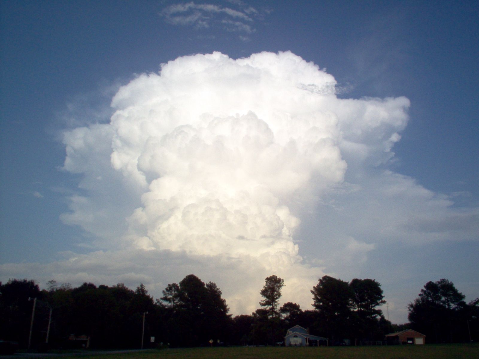
A microburst is a localized downdraft that accelerates downward through a storm, strikes the ground, and spreads out horizontally. Think of it as the opposite of the rising warm air that helps build a thunderstorm. Instead of air going up to make the storm, this is air coming down hard enough to create a sudden blast of wind at the surface.
Meteorologists often group microbursts under the broader term downbursts. The “micro” part emphasizes scale. A commonly used rule of thumb is that a microburst’s outflow spreads over a relatively small area, often less than about 4 km (2.5 miles) across, but within that footprint the winds can be startlingly strong.
Why they can be so intense
Air can accelerate downward for a few key reasons, often acting together:
- Rain-cooled air gets heavier. When raindrops fall into drier air, some of that water evaporates. Evaporation cools the surrounding air, making it denser and more likely to sink.
- Precipitation loading and drag. A lot of rain or hail suspended in the downdraft adds weight to the air column, and falling precipitation also adds drag that helps pull the downdraft along.
- Melting and evaporation or sublimation of ice cool the air. Hail melting and ice transitioning directly to water vapor can cool the nearby air, adding to the “heavy air” effect that encourages sinking, especially when the air below the cloud base is dry.
Wet vs. dry microbursts
Microbursts come in two common types. The difference is not about how dangerous they are, but about what is happening with precipitation between the cloud base and the ground.
Wet microbursts
A wet microburst arrives with obvious precipitation. You will typically see a concentrated surge of heavy rain, sometimes with hail, and then a blast of wind. In a wet microburst, plenty of the falling rain survives the trip to the ground.
If you have ever watched a summer downpour suddenly turn “sideways,” that’s the feel of it. A core of heavy precipitation collapses downward and then spreads wind outward as it hits the surface.

Dry microbursts
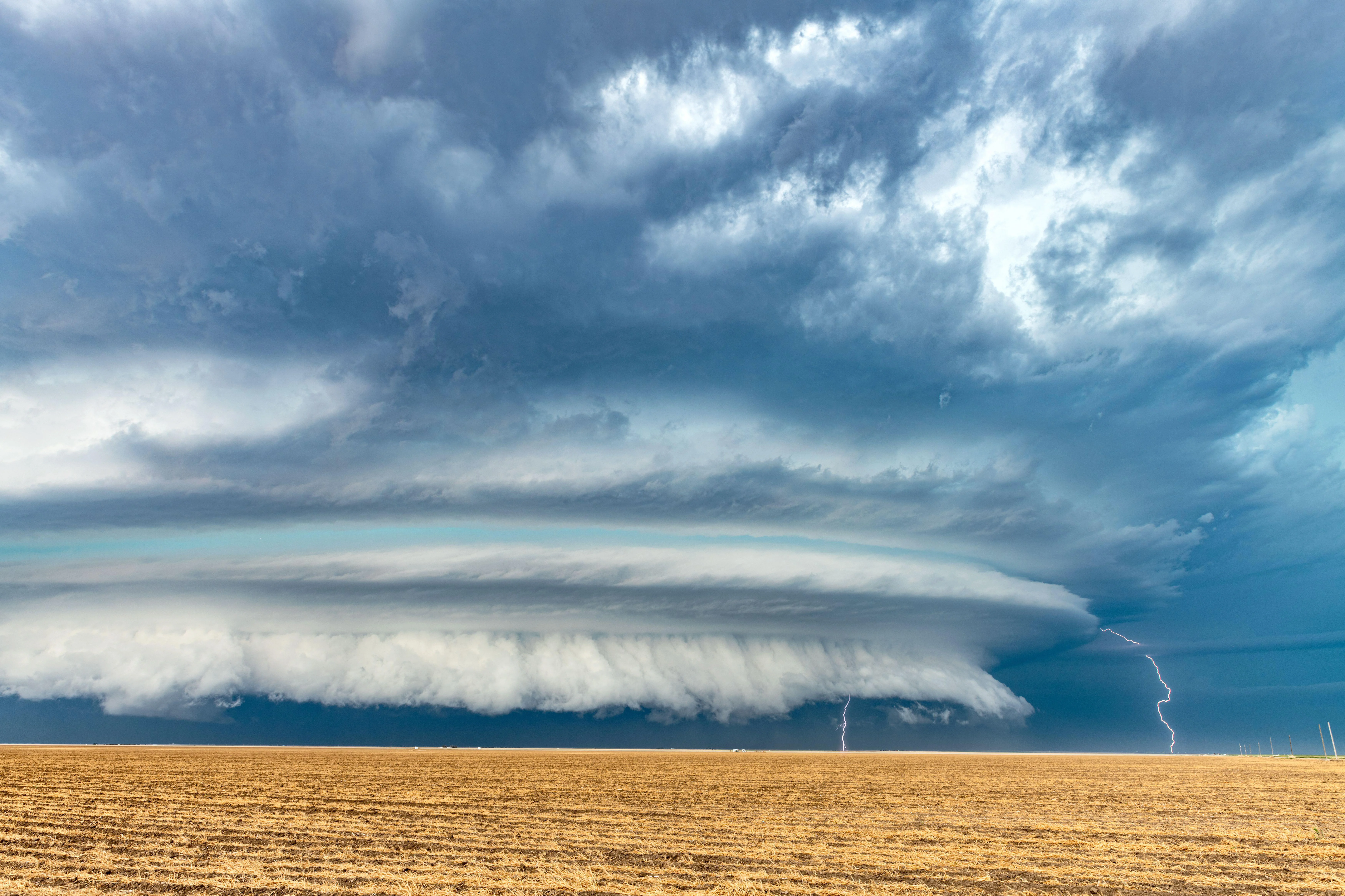
A dry microburst can be sneakier. The storm may look impressive overhead, but little rain reaches the ground because it evaporates on the way down. What does reach the surface is often wind first, sometimes with only a few drops or virga, which is precipitation that falls from the cloud but evaporates before hitting the ground.
Dry microbursts are common when there is a deep, dry sub-cloud layer beneath a high-based storm. That dryness is fuel for evaporation, and evaporation is an efficient way to cool air and speed up downdrafts.

Why damage points outward
If a tornado is like a spinning drill, a microburst is more like a hammer blow followed by a splash.
Here is the key geometry:
- Step 1: A narrow downdraft descends. Air rushes downward in a concentrated column.
- Step 2: It hits the ground. The surface blocks the downward motion.
- Step 3: The air spreads outward in all directions. This produces a burst of straight-line winds that push debris away from the impact area.
That outward, fanning pattern is why storm surveys often find trees and objects laid down in a radial or divergent pattern, pointing away from a central zone. Tornado damage, in contrast, more often shows convergent and rotational clues, with debris pulled inward or laid down in curved paths because the wind field is rotating.
One important caveat: real-world scenes are messy. Buildings channel winds, hills redirect flow, and multiple bursts can overlap. But as a first-pass clue, outward-spreading damage is a classic microburst fingerprint.
What it looks like
From the ground, microbursts do not have a single signature look, but there are hints:
- A sudden surge of cool air that feels like someone opened a refrigerator door.
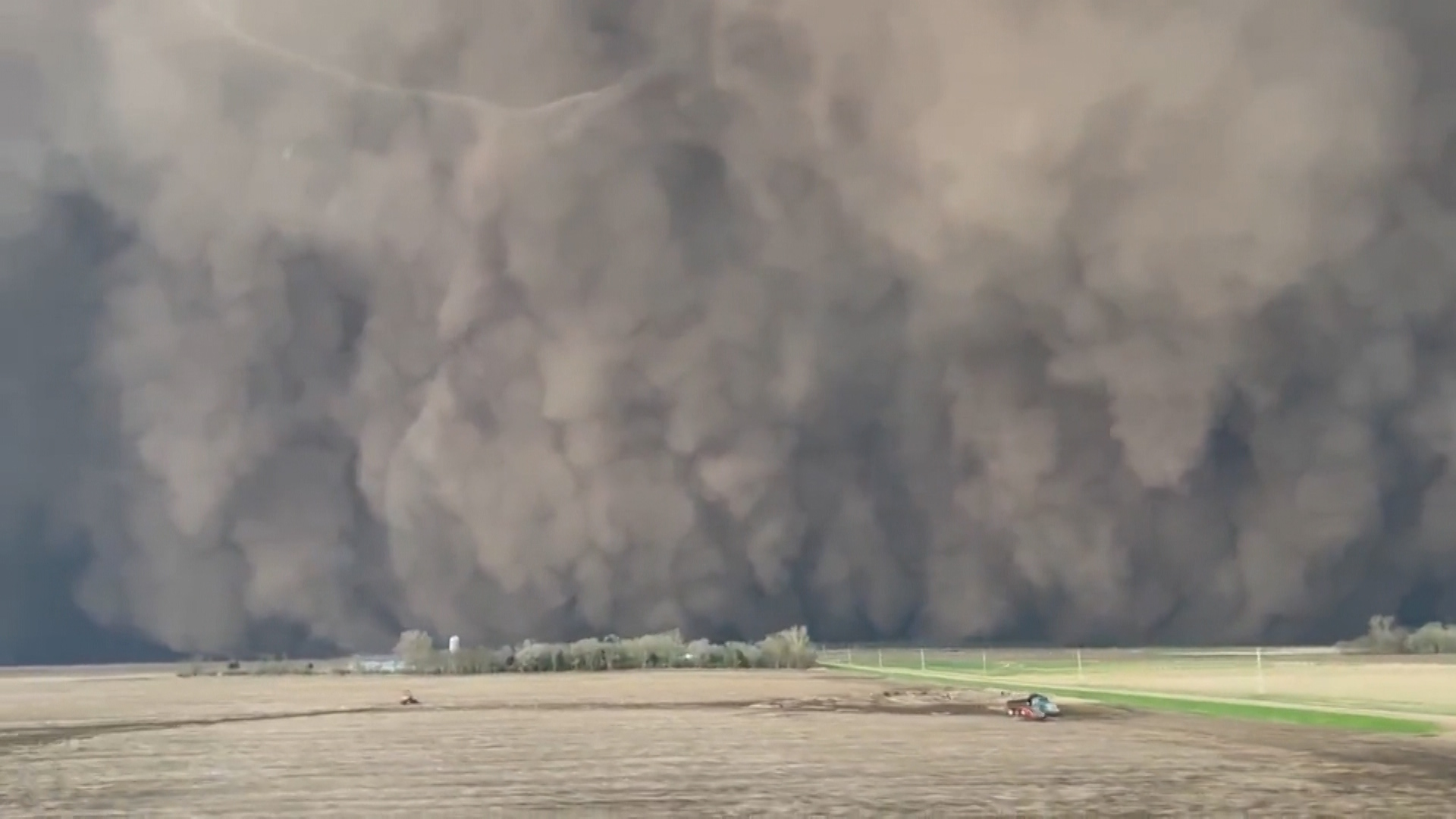
- A fast-moving wall of dust or spray racing out ahead of the rain.
- Rain shafts that appear to slam downward and then spread near the surface.
- Chaotic wind shifts over a very short time span, especially near the storm’s leading edge or beneath a heavy precipitation core.
On radar, meteorologists may see patterns consistent with strong downdraft outflow, such as tight low-level divergence. But it is worth saying plainly: you cannot reliably confirm a microburst by sight alone. Confirmation often comes from some mix of radar, surface observations, and, when it is done, damage surveys.
Microbursts vs. tornadoes
These terms get mixed up in everyday conversation because the damage can overlap. Here is a clean way to separate them:
- Microburst: A compact, intense downdraft that hits the ground and spreads outward, producing a burst of damaging winds over a relatively small area.
- Tornado: A rotating column of air connected to a thunderstorm and the ground, with a swirling wind field that often leaves twisting or converging damage clues.
- Straight-line winds: A broad umbrella term for damaging thunderstorm winds that are not tornadic. Microbursts are one way to get straight-line wind damage, but not the only way.
So yes, a microburst can produce straight-line wind damage. The point is that the mechanism is the downward punch and outward spread, not a rotating vortex.
Why pilots take it seriously
If you have heard the word “microburst” before, there is a good chance it was in the context of aviation safety. For an aircraft on takeoff or landing, a microburst can create rapid changes in wind speed and direction over a short distance. That wind shear can rob a plane of lift at the worst possible moment, especially close to the runway where there is little room to recover.
Modern airports use specialized wind-shear detection tools and operational procedures to reduce the risk, but the basic physics is the same: a concentrated downdraft hits, spreads, and reshuffles the wind field quickly.
What to do
Because microbursts are tied to thunderstorms, the safety playbook looks a lot like general thunderstorm wind safety, with a little extra emphasis on how sudden it can be.
- Get inside early. If a storm is approaching, do not wait for the rain to start. Wind can arrive first, especially in drier setups.
- Choose sturdy shelter. Treat it like a severe thunderstorm wind threat. Avoid tents, sheds, and other lightweight structures.
- Stay away from windows. Strong gusts can throw debris and break glass.
- Secure loose outdoor items. Trash cans, patio umbrellas, trampolines, and lightweight furniture become projectiles.
- If you are driving, slow down and be ready for a sudden shove. High-profile vehicles are especially vulnerable to abrupt crosswinds.
- Assume trees can fail. Avoid sheltering under large branches during gusty storms.
Common questions
How long does a microburst last?
Typically, it is brief. The intense phase is often on the order of minutes. What makes it memorable is not duration, but how quickly conditions can go from calm to violent and back again.
Can a microburst happen without thunder and lightning?
Microbursts are associated with convective storms, usually thunderstorms. But lightning might be distant, hidden by rain, or simply not obvious to you in the moment. If the atmosphere has the ingredients for strong convection, a powerful downdraft can still develop even if you did not notice frequent flashes.
Can you get hail with a microburst?
Yes. In wet microbursts especially, heavy precipitation and hail can be part of the collapsing storm core that helps drive the downdraft.
Is a microburst the same thing as a gust front?
They are related but not identical. A gust front is the leading edge of cooler outflow air spreading away from a storm. A microburst can create a strong outflow surge that contributes to a gust front, but gust fronts can also form from broader storm outflow that is not a single concentrated microburst.
The takeaway
A microburst is a small but intense thunderstorm downdraft that hits the ground and spreads outward, producing sudden straight-line winds. Wet microbursts bring the rain to the surface, while dry microbursts can deliver a blast of wind with little rainfall. And if you ever see damage that seems to radiate outward rather than spiral, you are looking at one of the strongest clues that a downdraft, not a tornado, did the work.