Curiosity, with all its quills showing.
Weather maps love to hand us numbers that feel like they should mean something obvious. Precipitable water is one of those: a single value that tries to summarize how much water vapor is available overhead. It is genuinely useful, but it is also easy to overread. Let’s pin down what it is, how we estimate it, and what a high value can and cannot tell you.

The idea in one sentence
Precipitable water (PW or PWAT) is the depth of liquid water you would have on the ground if you could condense all the water vapor in a vertical column of air above a location and let it fall out as liquid.
It is usually reported in millimeters or inches. Think of it as a column total, not a surface reading.
A quick mental picture
Imagine a tall, invisible tube with a base the size of one square meter, stretching from the ground up through the atmosphere. If you could magically squeeze every last water vapor molecule in that tube into liquid water, how deep would the puddle be at the bottom? That puddle depth is precipitable water.
What precipitable water is not
PW can sound like it is predicting how much rain will fall. It is not that direct.
- Not a rainfall forecast: A PW of 2 inches does not mean 2 inches of rain will fall. It means there is about 2 inches worth of water vapor available in the whole column, if fully condensed and efficiently turned into precipitation, and if it all fell out over the same spot.
- Not a “humidity” reading: Humidity (relative humidity, dew point) is about moisture near a level, often near the surface. PW is a vertical integral through much of the atmosphere.
- Not a guarantee of storms: Moisture is fuel, but storms also need lift and instability, plus the right triggers and wind profiles.
How meteorologists estimate precipitable water
Because PW is a column total, it is built from observations or models that know something about moisture at many heights, not just at ground level.
Weather balloons and soundings
One of the most direct ways is a radiosonde, a weather balloon that measures temperature, pressure, and humidity as it rises. From a sounding, PW is computed by integrating water vapor (often expressed as mixing ratio or specific humidity) through the depth of the atmosphere.
On many forecast sounding displays, PW appears as a single number near the top of the panel. It is summarizing everything the profile is saying about moisture.

GNSS and GPS stations
Another very common direct observation over land comes from GNSS (often casually called GPS precipitable water). As satellite signals pass through the atmosphere, water vapor slightly slows them down. That delay can be converted into an estimate of integrated precipitable water over the station. Networks of these receivers help track moisture surges in real time, especially where balloon launches are far apart.
Satellites
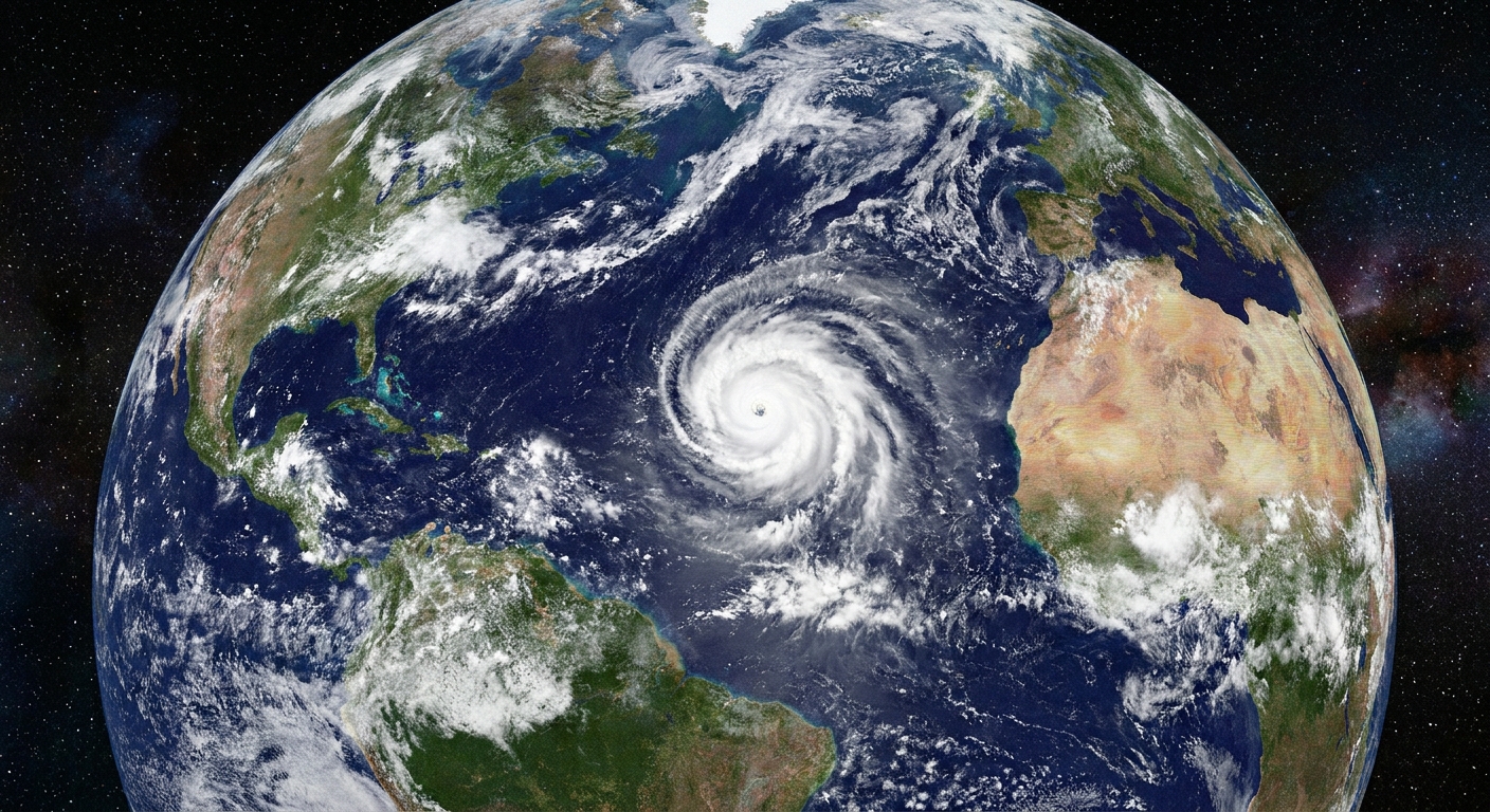
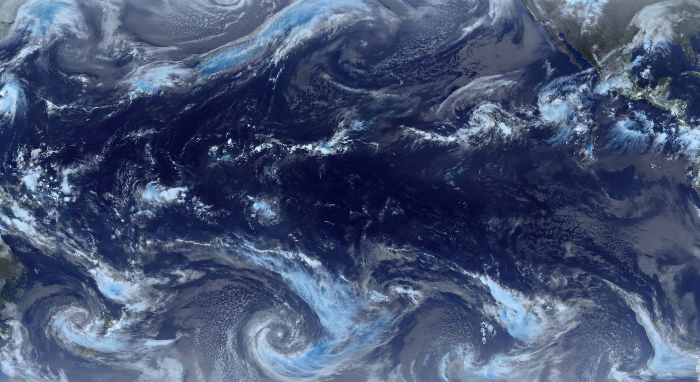
Satellites can estimate column moisture over wide areas, especially over oceans and remote regions where balloons are sparse. In broad strokes:
- Infrared sensors infer moisture from radiation emitted upward from the atmosphere. They are strongly limited by clouds because infrared methods cannot see through thick cloud tops.
- Microwave sensors are particularly valuable over oceans and can retrieve moisture even when cloud cover is present. Over land it is more complicated because the surface signal varies a lot, and heavy precipitation can also contaminate the retrieval.
Satellite products are not “a tube measurement” the way a radiosonde is, but they are a powerful way to map moisture gradients and plumes at scale.
Numerical weather models
Forecast maps of PW often come from weather models. Models calculate humidity at many vertical levels, then integrate it into a column total. This gives you continuous coverage in space and time, but it is only as good as the model’s initial conditions and physics.
How to interpret a high value
High PW means the atmosphere has a lot of moisture available. That often raises the ceiling on how intense rainfall could be if storms develop and repeatedly tap that moisture.
But “high” depends on context:
- Climatology matters: A PW value that is ordinary on a Gulf Coast summer day can be extreme in a dry, cool season farther inland.
- Temperature matters: In warm air masses, the saturation vapor pressure is higher, so the atmosphere can sustain much larger water vapor amounts when conditions are near saturation.
- Depth matters: Two places can share similar surface dew points yet have very different PW if one has deep moisture through several kilometers and the other has a shallow moist layer capped by dry air aloft.
Typical ranges (with caveats)
If you want a rough feel for the scale, PW might run under about half an inch in very dry or cold setups, around 1 inch in many temperate, “normal” warm-season patterns, and 2 inches or higher in truly juicy tropical air. Those numbers are only meaningful when compared to what is typical for your location and time of year.
Why high PW often correlates with heavy rain
When storms form in a high PW environment, they have access to a larger reservoir of vapor that can condense into cloud water and precipitation. In many setups, that supports:
- Higher rainfall rates inside stronger updrafts
- More efficient warm rain processes when cloud bases are warm and droplets can grow quickly
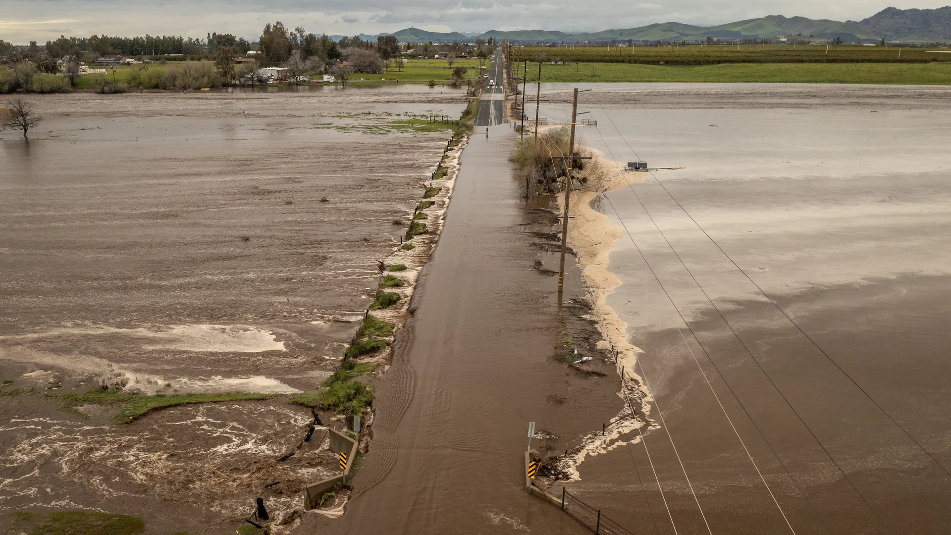
- Greater flash flood potential if storms train or repeat over the same area
Why PW alone does not make a storm
Moisture is one ingredient. Weather needs several to get from “humid” to “thunderstorm” to “flood-producing storm.” A few common missing pieces:
- Lift: Fronts, sea breezes, terrain, convergence zones, or upper-level dynamics often provide the shove that forces air upward.
- Instability: If rising parcels are not buoyant, clouds may stay shallow even with ample moisture.
- A cap or inversion: Sometimes a warm layer aloft suppresses convection until a stronger trigger arrives, or prevents storms altogether.
- Storm motion and organization: Even with high PW, fast-moving storms can limit totals at any one spot, while slow-moving or training storms can maximize flooding risk.
So PW is best treated as a potential metric: it tells you how much moisture is available to work with, not whether the atmosphere will decide to use it.
Where you will see PW used
PW shows up in a few recurring meteorology conversations:
- Flash flood forecasting: Forecasters watch for unusually high PW and strong lift, especially when storm motions favor training.
- Monsoon season monitoring: In regions with seasonal moisture surges, PW can track the arrival of deeper tropical air.
- Atmospheric moisture plumes: PW maps highlight corridors of deep moisture that can feed widespread rain when lifted.
PW vs. IVT
Precipitable water is the amount of moisture in the column. Integrated vapor transport (IVT), used often in atmospheric river discussions, is the vertical integral of horizontal water vapor flux. Intuitively, it is moisture times wind: it describes how strongly water vapor is being carried horizontally by the flow.
FAQ
Is precipitable water the same as relative humidity?
No. Relative humidity tells you how close the air is to saturation at a particular level, often near the surface. Precipitable water sums water vapor through a vertical column, so it can be high even if the surface is not at 100 percent relative humidity.
Can precipitable water be higher than expected on a clear day?
Yes. A warm, moist air mass can have high PW without immediate storms if the atmosphere is stable or capped. The moisture is there, but the lift and instability are not.
Why does PW matter for flooding?
High PW can support higher rainfall rates when storms form. Flooding typically requires more than high PW alone, such as slow storm motion, training storms, saturated ground, or terrain that focuses runoff.
What is a normal precipitable water value?
Normal depends strongly on location and season. The most meaningful comparison is to local climatology or percentiles for your area and time of year, not a single universal threshold.
A good way to use PW
If you like a simple rule that stays honest: precipitable water tells you how much moisture the atmosphere has available, not what it will do with it. Pair PW with a trigger (fronts, convergence, terrain), instability (often summarized by CAPE), and storm motion to get from “juicy air” to “meaningful rain threat.”
Curiosity satisfied for now. Keep an eye on the whole recipe.