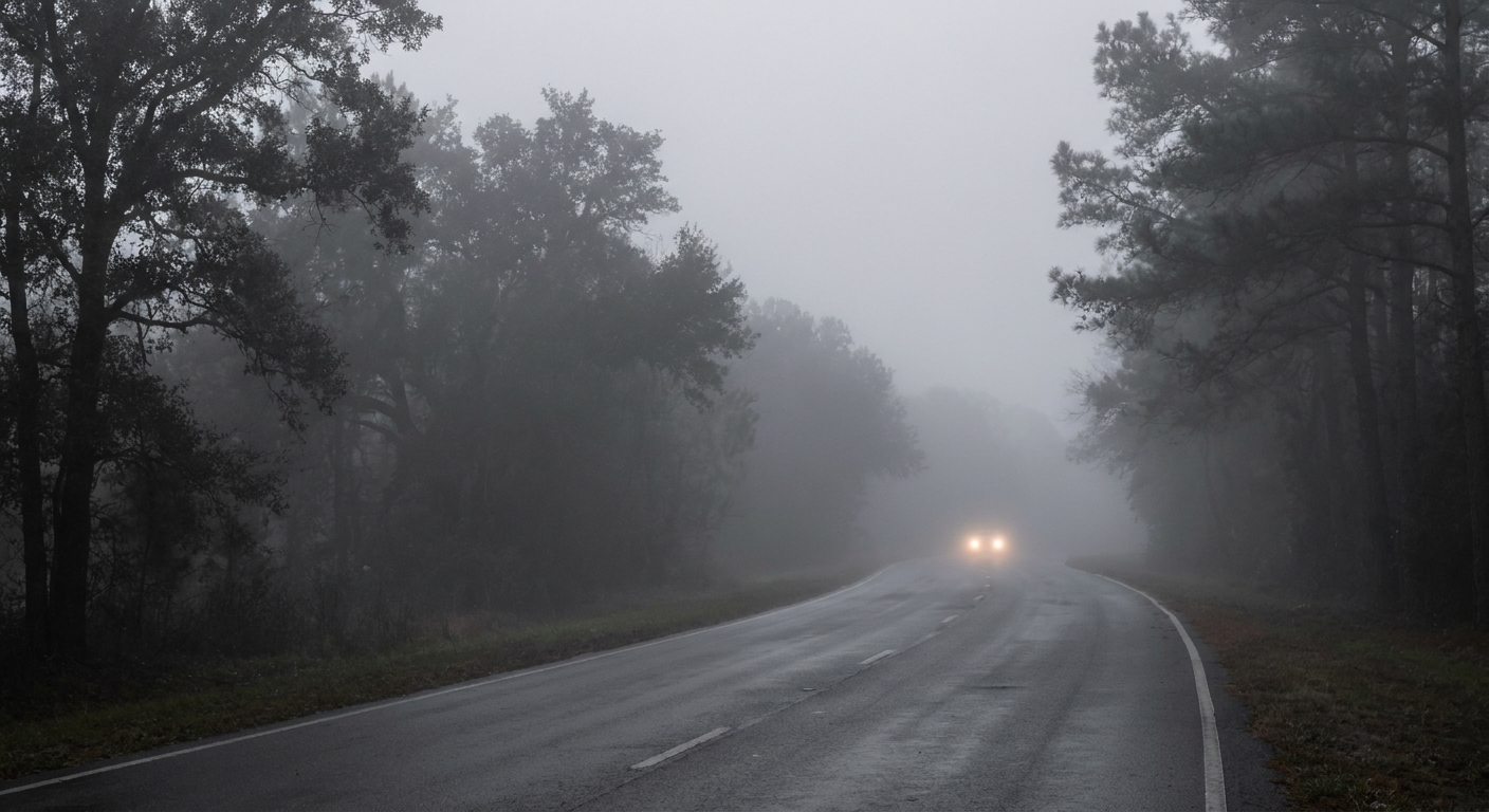
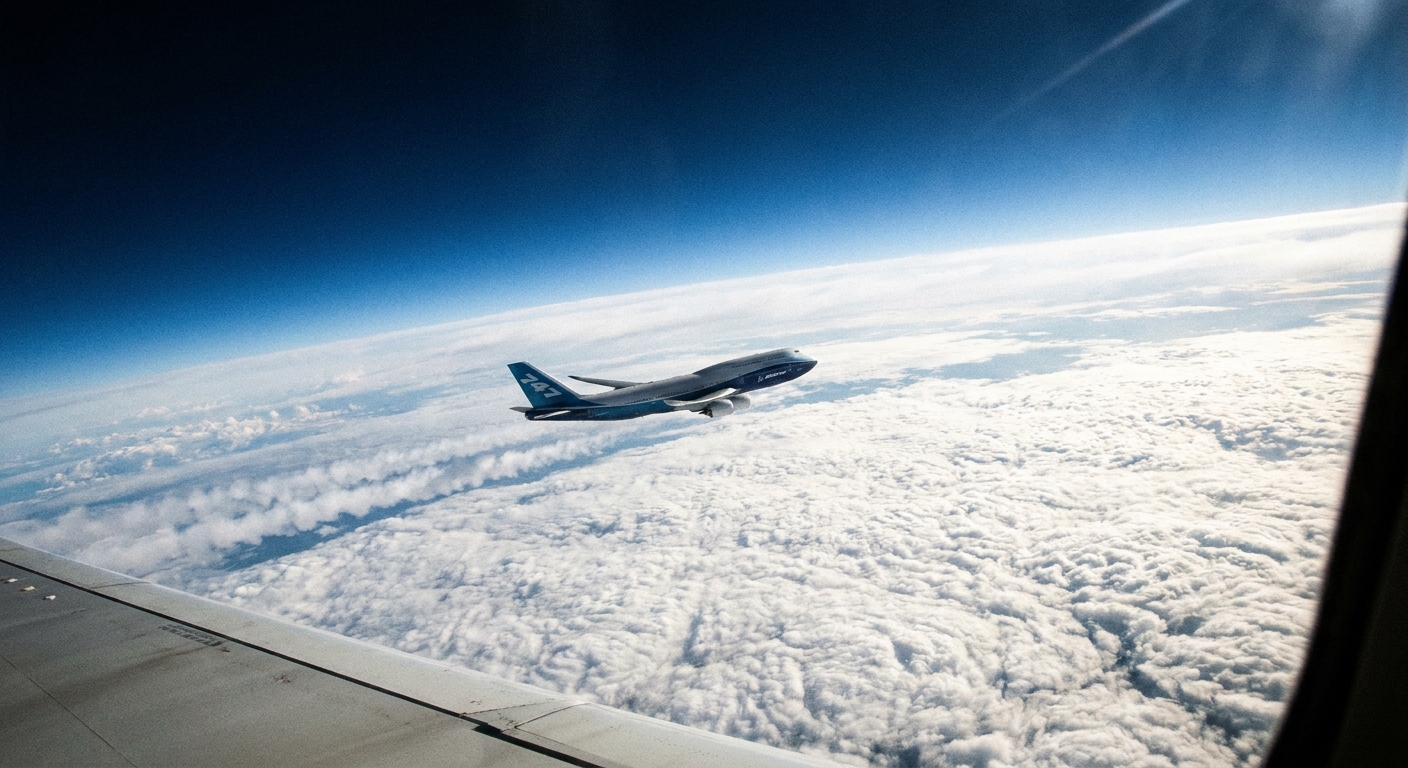
Most days, the atmosphere behaves like a predictable hiking trail: you climb upward, and the air generally gets colder. A temperature inversion is the weird situation when the trail runs backward, at least for a shallow layer. Near the ground, temperature increases with height instead of decreasing. That flip matters because it can cap the lower atmosphere like a lid on a pot, keeping cold air, fog, smoke, and urban smog trapped close to where we live and breathe.
The usual pattern, and what an inversion changes
In the troposphere, the lowest layer of the atmosphere where our weather happens, temperature usually drops with height. That typical decrease encourages rising motion: if a pocket of air near the surface is warmed by the Sun, it becomes buoyant and can lift, mix, and dilute pollutants.
In an inversion, the opposite happens across a layer: air above is warmer, so any cooler air below has a hard time rising through it. Meteorologists call that stable stratification. Practically, it means:
- Less vertical mixing near the surface.
- More trapped moisture, which can boost fog and low clouds.
- More trapped pollution, which can worsen smog and smoke impacts.
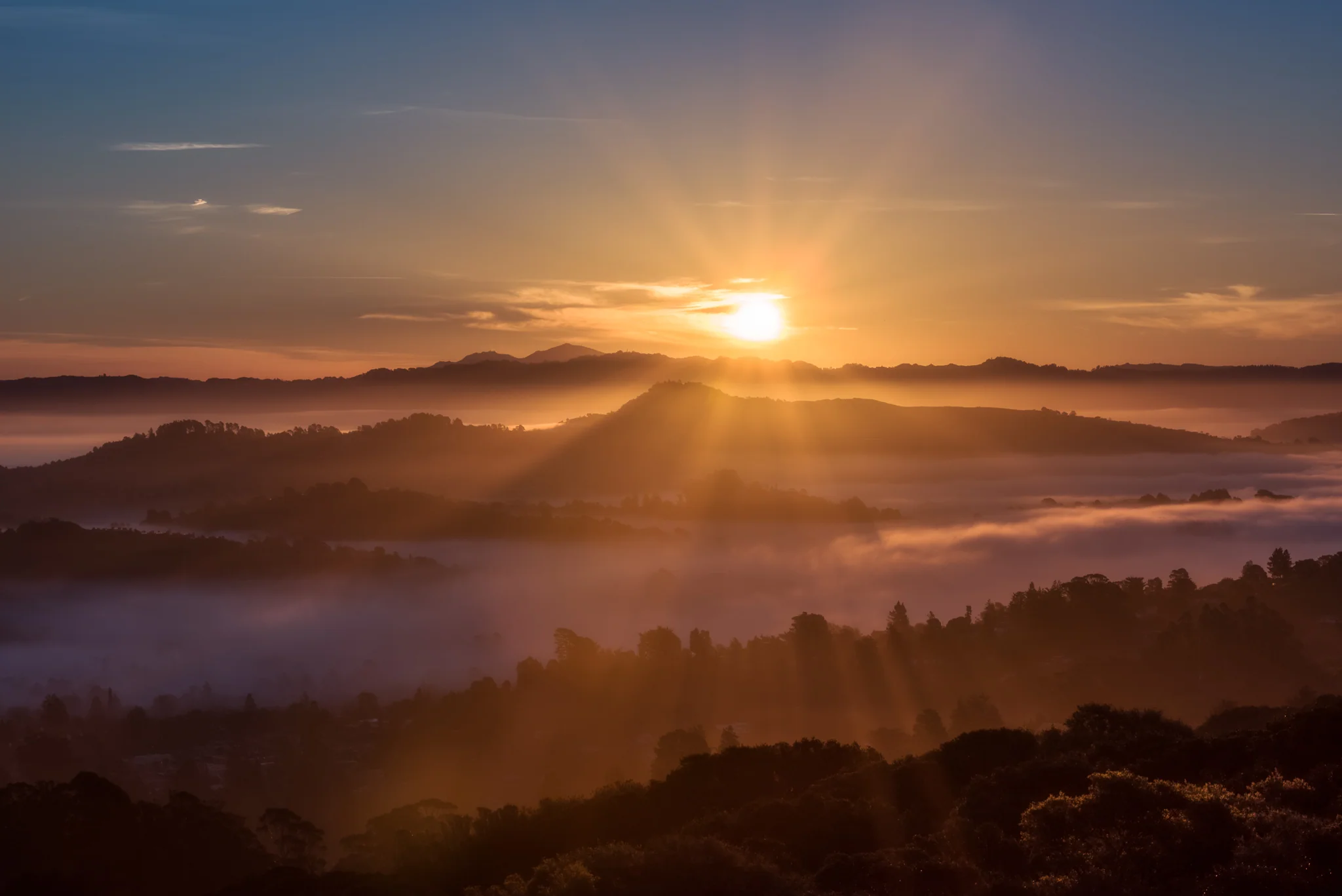
One important detail: an inversion is often shallow. You might have a chilly, hazy neighborhood while a hilltop a few hundred meters up sits in warmer, cleaner air and bright sunshine.
How inversions form
There are several ways to build an inversion, but the setups most people notice from the ground include nighttime radiation inversions, valley cold pools, and broader inversions tied to high pressure or warm air moving over a cold surface.
Nighttime radiation inversions (clear, calm nights)
After sunset, the ground loses heat by emitting infrared radiation into space. If skies are clear and winds are light, the surface cools efficiently. The air touching the ground cools too, while air a little higher up cools less. By late night or early morning, you can end up with a stack like this:
- Coldest air right at the surface.
- Warmer air above it.
This is why frost can show up on your lawn even if a thermometer a few feet higher reads above freezing. It is also why early morning can feel sharply colder than you expect in otherwise fair weather.
Valley cold pools (terrain as a bowl)
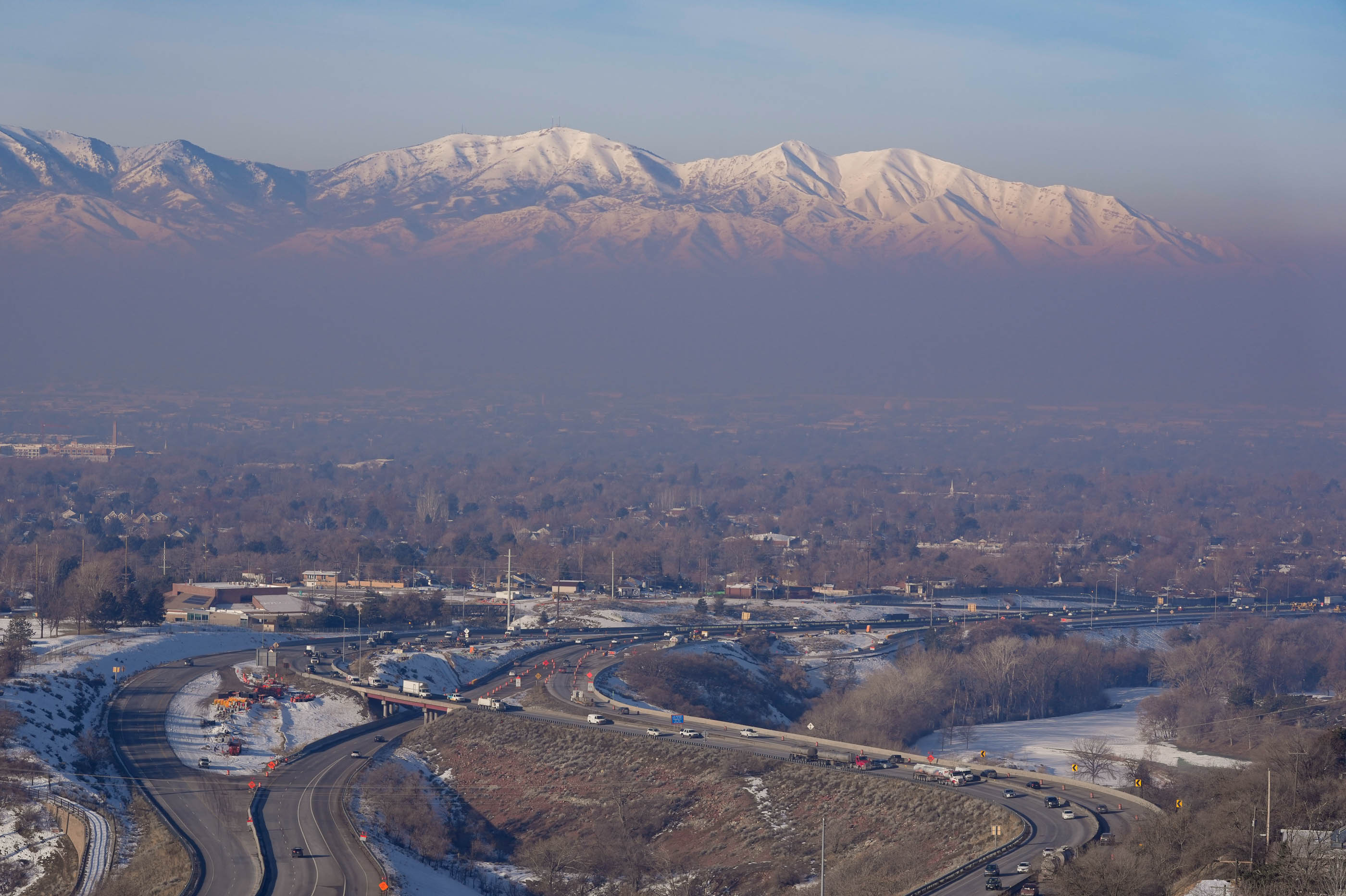
Now add terrain. Cold, dense air tends to drain downhill in what meteorologists call cold-air drainage. On long winter nights, that drainage can collect in low spots, building a cold pool inside valleys and basins. If warmer air sits above the valley floor, you get a persistent inversion that can last for days, especially during high pressure patterns with weak winds.
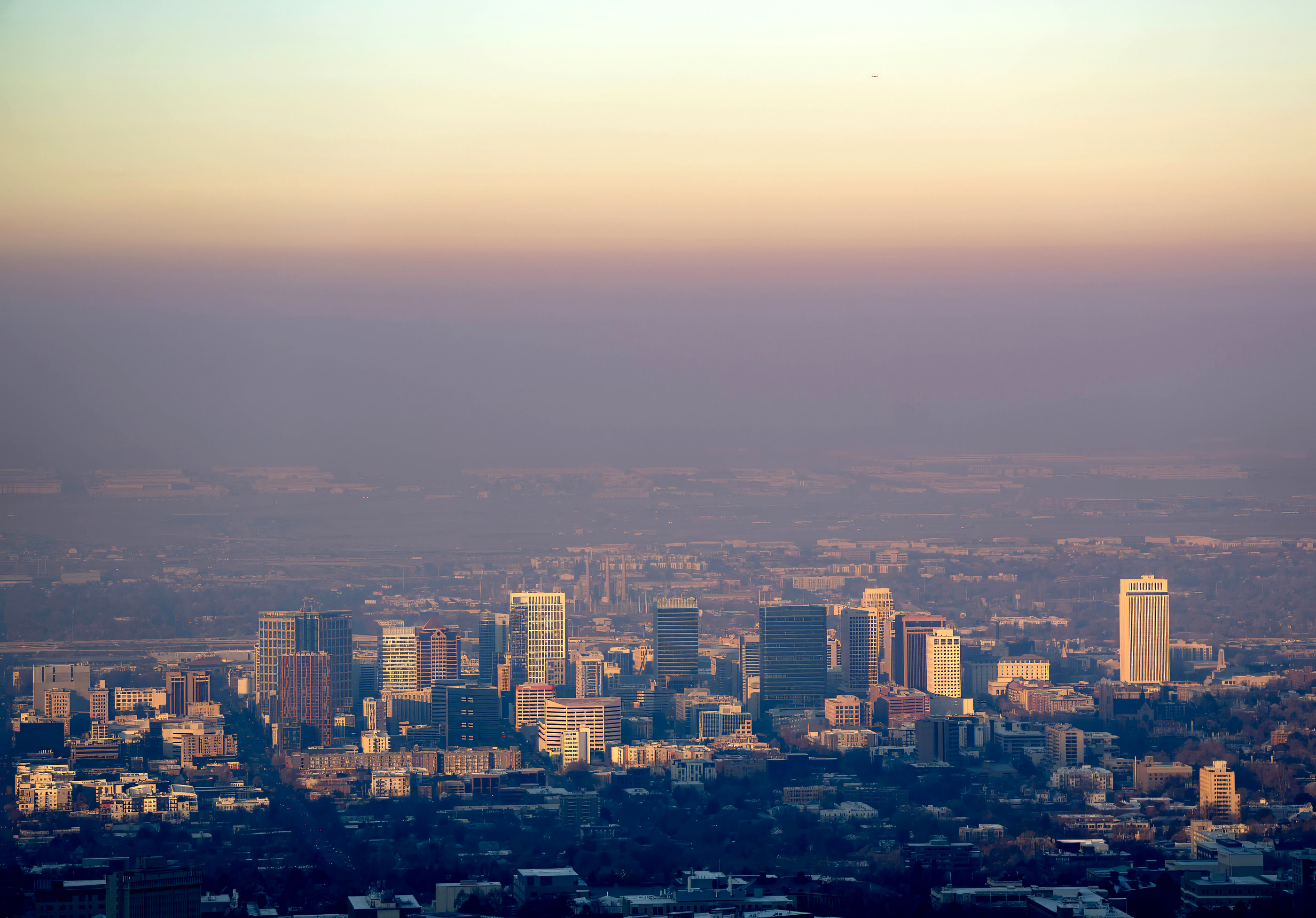
Valley cold pools are a big reason some places get notorious wintertime air quality episodes: the geography turns the lower atmosphere into a mixing-resistant bowl.
Subsidence and advection inversions (big-picture patterns)
Two other common inversion types show up on forecasts and soundings:
- Subsidence inversions: Under strong high pressure, air slowly sinks and warms as it compresses. That can create a warm layer aloft that reinforces the lid and makes stagnant conditions more likely.
- Advection inversions: When warmer air moves over a colder surface, the air near the ground cools from below, helping set up a stable, inverted layer.
Why fog, smoke, and smog get trapped
If you remember one mental picture, make it this: an inversion is a lid. Under that lid, the air is stable and reluctant to mix upward.
Fog and low clouds
Fog is essentially a cloud at ground level, defined by tiny suspended water droplets that reduce visibility. It often forms when air near the ground becomes saturated, meaning relative humidity rises to near 100 percent. Inversions help in two ways:
- They allow the surface layer to cool efficiently overnight, pushing it toward saturation.
- They trap moisture close to the ground, so it is harder for drier air aloft to mix down and clear things out.
The result can be classic morning radiation fog, or stubborn valley fog that refuses to burn off.
Smoke
Wildfire smoke often rides along layers in the atmosphere. When a surface-based inversion is present, smoke from local sources can accumulate near the ground. Even smoke transported from far away can become a near-surface problem if it gets mixed downward and then the inversion prevents it from dispersing.
One clue people notice is the smell: under an inversion, smoke odors can linger through the morning and sometimes all day.
Smog and air pollution
In cities, vehicle emissions, industry, and other sources continuously add pollutants near the surface. On days with good mixing, the atmosphere dilutes that pollution into a deeper layer. Under an inversion, the mixing depth shrinks, so the same emissions are concentrated into a thinner slice of air.
In winter inversions, the headline problem is often PM2.5 buildup from combustion sources (including traffic and wood burning). Summer smog, on the other hand, often features ozone that forms through sunlight-driven chemistry. Inversions can play a role in both by limiting ventilation, but the pollutant mix and the seasonality are different.
How forecasters spot an inversion
To a forecaster, an inversion is not just a hunch, it is a feature you can measure. One of the best tools is a weather balloon sounding, which records temperature, humidity, and wind as it rises.
On a sounding, an inversion shows up where the temperature line does something it normally does not: it bends to indicate warming with height over a layer. In plain language, the balloon ascends and reports:
- Temperature decreases with height, then
- Temperature stops decreasing and starts increasing for a bit, then
- Temperature resumes its normal decrease above the inversion top.
Surface-based vs. elevated inversions
Two flavors matter for everyday impacts:
- Surface-based inversion: starts right at the ground. These are common overnight and are especially important for fog and near-surface air quality.
- Elevated inversion: sits above the surface with a mixed layer below it. These can still cap convection and trap pollution beneath them, but the surface may be somewhat better mixed than in a classic nighttime inversion.
Other sounding clues
- Humidity: A moist layer near the surface under a stable lid is a fog-friendly recipe.
- Winds: Light winds near the surface often accompany strong inversions. Stronger winds above the inversion can transport air aloft while the surface layer stays decoupled and stagnant.
- Mixing height: Forecasters estimate how deep the atmosphere can mix during the day. A strong inversion keeps that mixing height shallow.
How long inversions last
It depends on what built them.
- Typical nighttime radiation inversions often weaken after sunrise as the ground warms and turbulence returns. A breezy morning can wipe them out quickly.
- Valley cold pools can persist much longer, especially in winter when the Sun is weak and the valley floor stays shaded. If a strong high pressure system parks overhead, the inversion can hang around for days until a storm or a significant wind event breaks the pattern.
If you have ever watched haze sit stubbornly in a basin while mountaintops look crystal clear, you have seen that persistence in action.
What to do during an inversion
- Check the AQI (Air Quality Index) before outdoor workouts, especially if you have asthma or heart or lung conditions.
- Reduce extra smoke: If your area issues a no-burn notice, follow it. Even without a notice, skipping a wood fire during a strong inversion can help.
- Ventilate strategically: If you need fresh air indoors, the best window for airing out is often late morning to afternoon, after the surface warms and mixing improves.
- Protect sensitive groups: Kids, older adults, and anyone with respiratory issues usually benefit most from limiting exposure on stagnant, smoky days.
Inversion vs. the stratosphere
This trips up a lot of readers, so it is worth clearing up: the word inversion gets used in two related ways.
- A temperature inversion in everyday weather talk usually means a shallow reversal within the troposphere, often near the surface.
- The stratosphere is a whole atmospheric layer where temperature generally increases with height (largely because ozone absorbs ultraviolet sunlight). That is a broad, persistent pattern, not the same thing as a local, surface-trapping inversion, even though the physics word is similar.
Quick signs of an inversion
Without launching your own weather balloon, you can still spot clues:
- Clear skies and calm winds overnight followed by a cold morning.
- Fog pooled in low areas while hills above are clear.
- Smoke or haze that looks like a flat layer, sometimes with a visible top edge.
- Warmer temperatures on a hillside than at the valley floor during the morning, a counterintuitive but classic sign.
FAQ
Is a temperature inversion dangerous?
The inversion itself is not harmful, but what it enables can be. By trapping pollutants and smoke, inversions can worsen air quality, which is a real health risk for people with asthma, heart or lung conditions, and for young children and older adults.
Do inversions cause smog, or just trap it?
Mostly they trap and concentrate pollution that is already being emitted. Some chemical reactions that form photochemical smog also depend on sunlight and stagnation, so an inversion-friendly pattern can indirectly contribute to worse smog days.
Why is it sometimes warmer higher up in the morning?
Because the ground cools fastest at night. If the surface air cools a lot while air aloft stays relatively warmer, you get a surface inversion. Standing on a slope can put you above the coldest pooled air.
Can an inversion stop thunderstorms?
It can help. A strong capping inversion makes it harder for warm, moist air near the surface to rise into storms. If surface heating becomes intense enough, or if a front lifts the air, the cap can break. That is when storms may develop rapidly.