The first time I really noticed graupel, I was out with my golden retriever, Quark, on one of those late-winter walks where the sky cannot decide what mood it is in. Something started pinging softly off my jacket and the sidewalk. It was not rain, not snowflakes, and definitely not the glassy snap of sleet. When I scooped some up, I could crush it between my fingers like tiny Styrofoam beads.
That, in a nutshell, is graupel: soft little snow pellets that form when a snowflake gets coated in freezing cloud droplets.
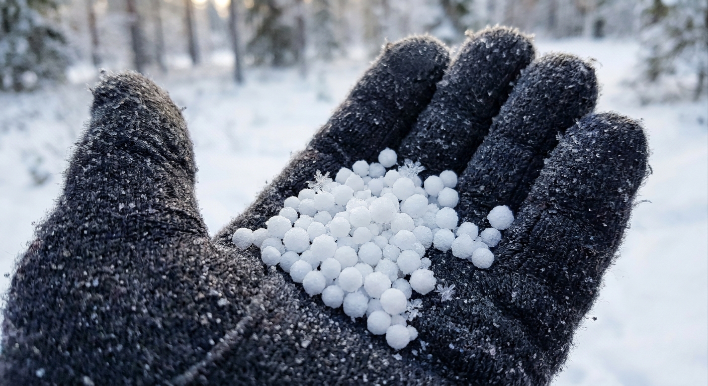
Graupel, simply explained
Graupel (pronounced roughly GROW-puhl) is also called snow pellets or soft hail. It forms when:
- a normal snowflake is falling through a cloud, and
- it passes through lots of supercooled water droplets (liquid water below 32°F or 0°C), and
- those droplets freeze on contact with the snowflake.
Each frozen droplet adds a little bump of ice. Do that enough times and the original snowflake’s delicate branches get buried. The end result is a small, white pellet that is often about 2 to 5 millimeters across, and can sometimes be closer to 10 millimeters.
In meteorology, this coating process is called riming. So you will also hear graupel described as a rimed snowflake.
How it forms in clouds
If you picture a cloud as a layered cake of temperatures, graupel tends to form where ice crystals and liquid droplets overlap.
Step by step
- Snow begins aloft: Higher in the cloud, temperatures are cold enough for ice crystals and snowflakes to grow.
- Supercooled droplets hang out lower down: In many clouds, especially those with strong upward motion, tiny droplets remain liquid even below freezing.
- Collision and instant freezing: As a snowflake falls, it collects these droplets. They freeze instantly on the snowflake’s surface.
- Riming builds a lumpy shell: The snowflake becomes a rounded pellet with a rough, matte surface.
Graupel is basically what happens when a snowflake rolls through a cloud’s “spray paint booth” and gets coated in ice, one droplet at a time.
Best conditions for graupel
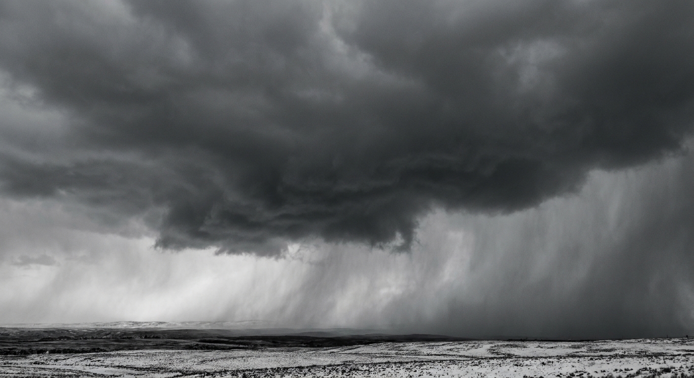
Graupel tends to show up with a specific setup: cold air, moisture, and enough turbulence or uplift to keep supercooled droplets suspended.
Cloud types
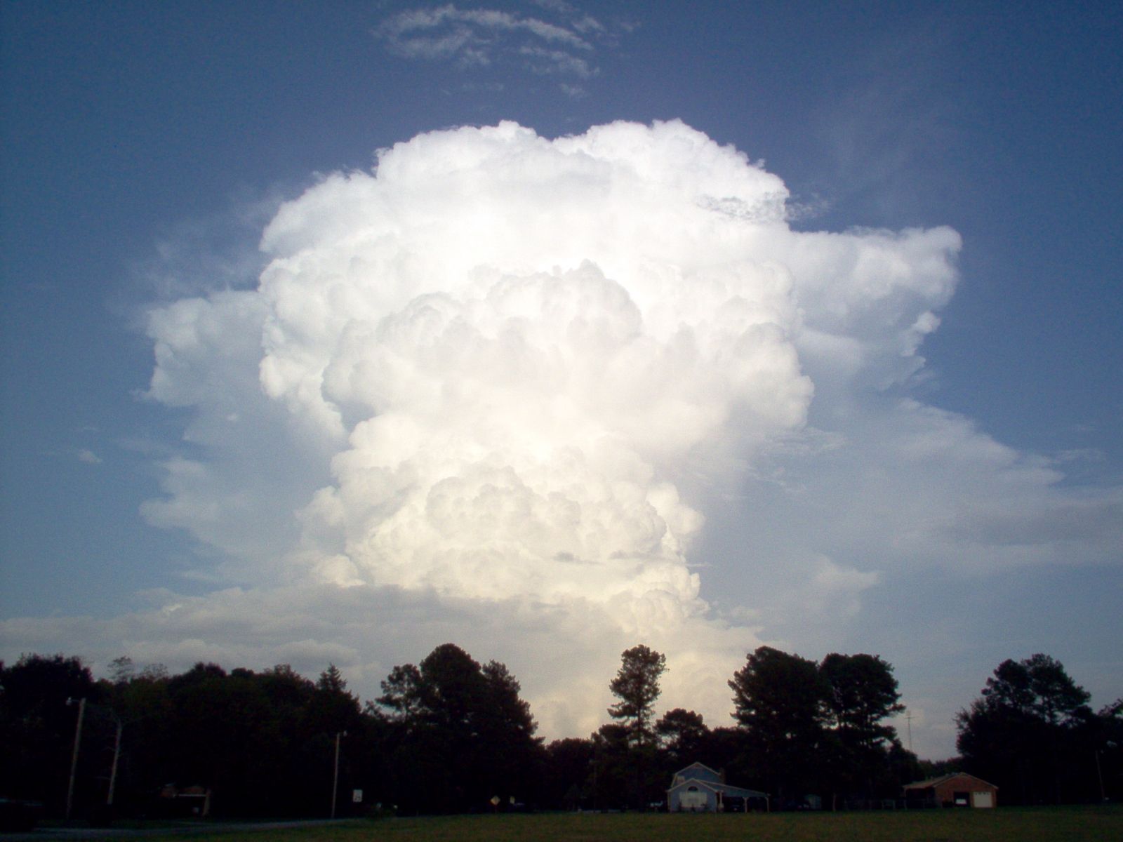
- Cumulus and cumulonimbus clouds in cold seasons, including snow showers and convective squalls.
- Showery stratocumulus or unstable post-frontal clouds, where rising and sinking air mix things up.
Temperature range
Mixed-phase clouds, meaning clouds with both ice and supercooled liquid water, are often found around 14°F to 32°F (about -10°C to 0°C). Supercooled droplets can still exist well colder than -10°C, but that near-freezing overlap zone is a common place to run into graupel because both ingredients are frequently present.
Why showery weather is a clue
Graupel is especially common in bursty precipitation. That is because convective, up-and-down air motion:
- creates more collisions between droplets and snowflakes, and
- helps maintain pockets of liquid water below freezing.
What it looks and sounds like
On the way down, graupel often falls like tiny white beads. It can be easy to mistake for hail at first glance, but the “feel test” gives it away.
In your hand
- Texture: Soft, crumbly, and matte, not clear or glassy.
- Hardness: You can usually crush it between your fingers.
- Shape: Roughly round, sometimes conical or lumpy.
On the ground
Graupel tends to:
- bounce a little when it hits,
- roll into small drifts in gusty wind, and
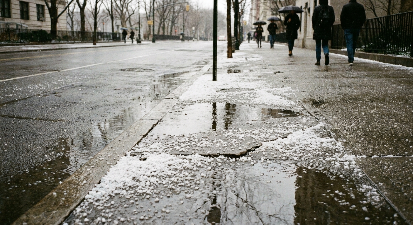
- accumulate as a layer that looks like someone sprinkled tiny white beads over the surface.
Because the pellets pack together efficiently, graupel often compacts quickly. In marginal temperatures, it can also disappear fast as it melts, gets crushed into slush, or refreezes into an icy crust.
Graupel vs hail vs sleet
All three can look like “little ice balls,” but they come from different atmospheric stories.
Graupel vs hail
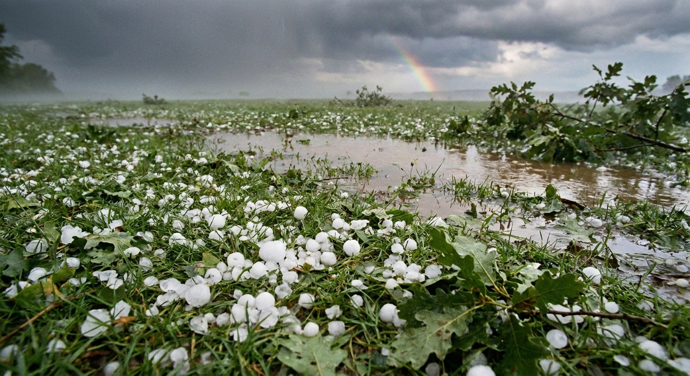
Hail forms in strong thunderstorms where a growing ice stone gets repeatedly lofted by powerful updrafts, adding layers and becoming hard and dense. Graupel is typically smaller, softer, and forms from riming rather than repeated recycling through a storm’s updraft core.
- Graupel: crushable, matte white, usually small.
- Hail: hard, often layered, can be large and damaging.
Graupel vs sleet (ice pellets)
Sleet (often called ice pellets in North American forecasts) usually starts as snow higher up, melts into raindrops in a warm layer, then refreezes into hard pellets as it falls through subfreezing air near the ground. In parts of the UK and Ireland, the word “sleet” is often used for a rain and snow mix, so local terminology can vary.
- Graupel: snowflake coated by freezing droplets while still in the cloud.
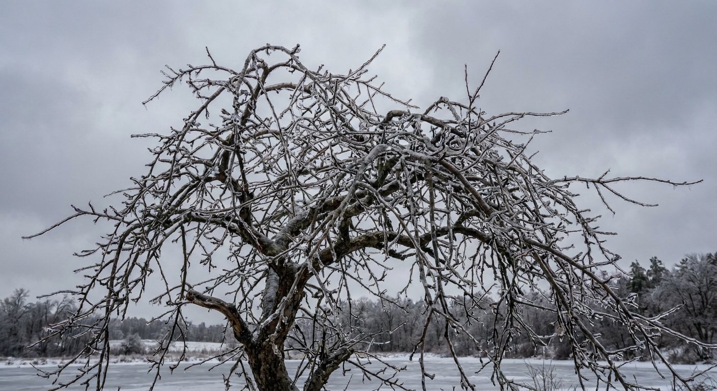
- Sleet: melted snow that refreezes into a hard pellet on the way down.
A quick backyard test
- If it is white and crushes easily, think graupel.
- If it is clearish or very hard and clicks like little BBs, think sleet.
- If it is hard and larger and came with thunderstorm energy, think hail.
Is it dangerous?
Graupel is usually not dangerous in the dramatic, windshield-smashing way hail can be. But it can still matter.
Roads and sidewalks
Graupel can pile up quickly during a brief squall. Those pellets can act like ball bearings under tires or boots, especially when they partially melt and refreeze. A sudden coating can create a surprisingly slick surface.
Avalanche connection
In mountain snowpacks, graupel layers can be a problem because the pellets do not always bond well to surrounding snow. Under the right conditions, a graupel layer can become a weak layer that helps a slab avalanche release. If you spend time in avalanche terrain, this is one reason forecasters pay attention to reports of graupel showers.
Why meteorologists care
Graupel is more than a curiosity. It is a signpost that a cloud contains supercooled liquid water and active vertical motion. That matters for:
- Aviation icing risk, since supercooled droplets can freeze on aircraft surfaces.
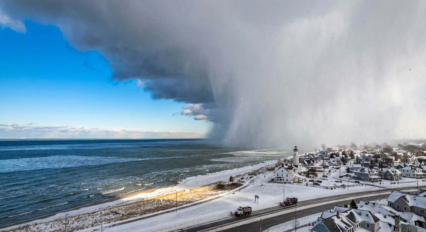
- Snow squall intensity in cold seasons, where graupel can show up in vigorous convective showers.
- Precipitation type reports, which help refine forecasting and verify weather models.
In other words, when you spot graupel, you are seeing evidence of a very specific microphysics recipe playing out overhead.
Quick FAQ
Is graupel the same as soft hail?
People often call it soft hail, and the nickname is understandable. But graupel forms by riming of snowflakes, while hail forms by repeated growth cycles inside strong thunderstorm updrafts. They are related in the sense that both involve ice growth in turbulent clouds, but they are not the same process.
Can graupel happen above freezing?
It can fall into above-freezing air and start melting, but it forms in clouds where temperatures are at or below freezing, with supercooled droplets present.
Why is graupel so white?
It is full of tiny air pockets and irregular surfaces. That structure scatters light in many directions, like fresh snow does, making it look bright white and opaque rather than clear.
Does graupel mean a thunderstorm?
Not necessarily. You can get graupel from a cold-season convective shower without lightning. But it often points to unstable, vertically active clouds.
The takeaway
Graupel is the “crunchable snow pellet” that forms when supercooled cloud droplets freeze onto a falling snowflake, coating it until it becomes a small, rimed ball. If the sky is throwing down little white beads that bounce, roll, and squish between your fingers, you are not imagining things. You are catching cloud physics in your palm.