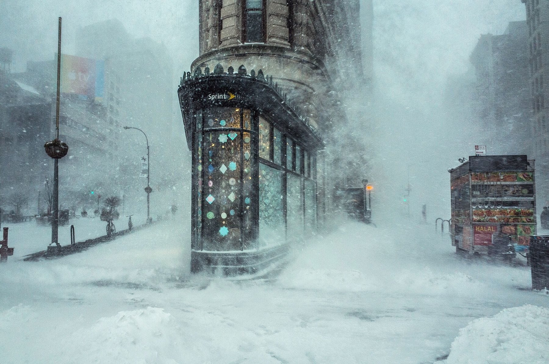
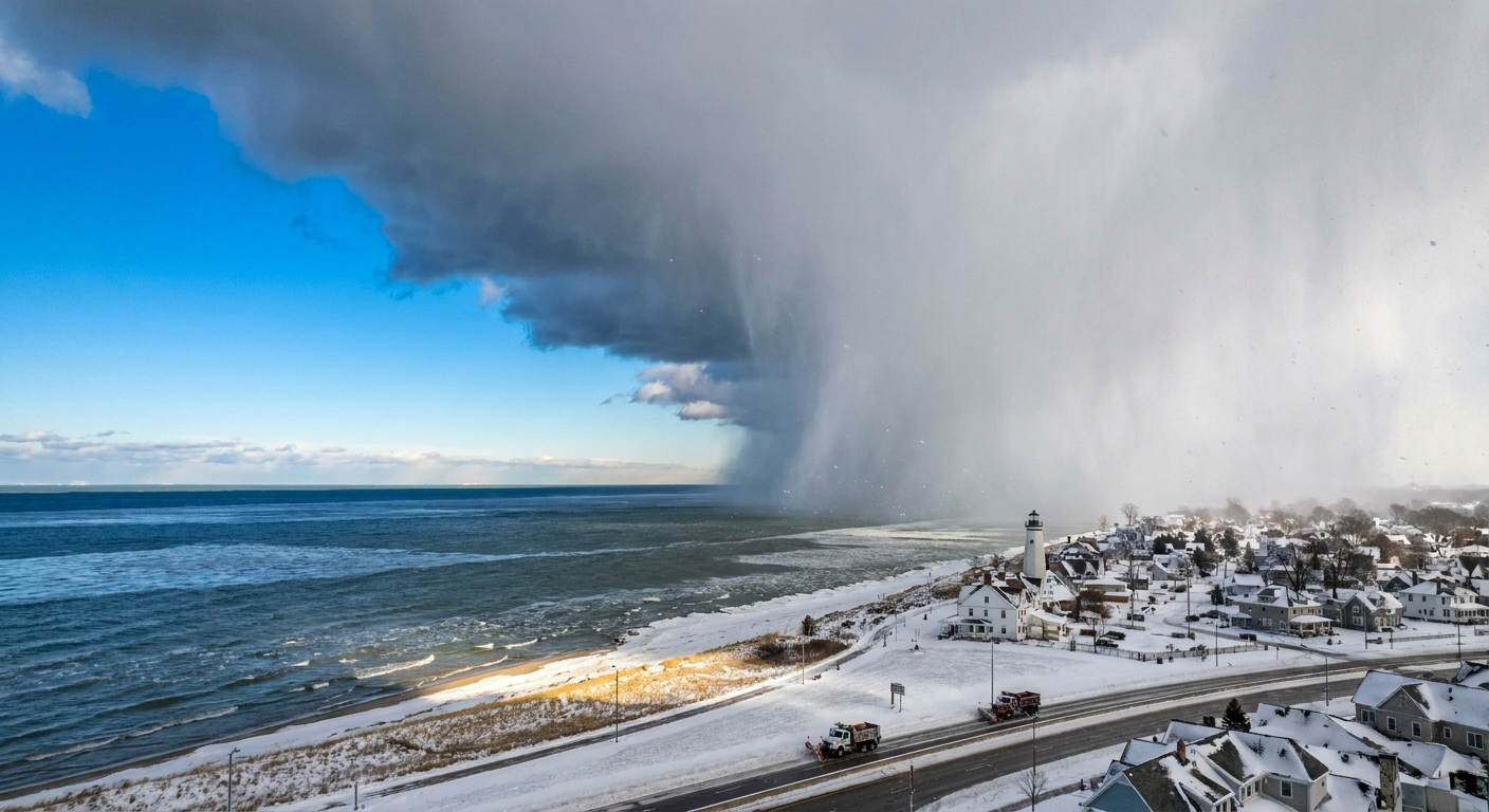
I used to tell my physics students that winter weather is basically a laboratory experiment happening above your head, just with bigger beakers and a lot more chaos. If you have ever stepped outside to what looks like “just rain” but the sidewalk turns into a skating rink, you have met freezing rain. If, instead, you hear tiny bits of ice pinging off your window like someone shook a bag of rice outside, that is usually sleet.
Both can show up in the same storm and both can be miserable. But meteorologists treat them as different precipitation types because they come from different stacks of temperature layers in the atmosphere.
The big idea: it’s all about layers
Freezing rain and sleet often begin their lives the same way: as snowflakes forming in cold clouds high above the ground. Then, as those flakes fall, they may pass through a warm layer (above 32°F or 0°C) that melts them into raindrops.
What happens next depends on what the air is doing near the ground. Think of the atmosphere as a layer cake of temperatures. Two cakes, same ingredients, but the icing layer changes the final bite.
And yes, the atmosphere can be weird. In a few setups, precipitation can form as liquid aloft (a warm-cloud process) and still arrive as freezing rain if it later falls into subfreezing surface air. But the classic, most common story starts as snow up high.
What creates freezing rain
Freezing rain happens when:
- Snow melts into rain in a warm layer aloft.
- Then the raindrops fall into a shallow layer of below-freezing air near the surface.
- The drops do not have enough time to freeze into ice before they hit the ground.
Here is the key physics detail: those drops can become supercooled. That means they are still liquid even though their temperature is below freezing. Liquid water can do that if it does not have the right “starter crystal” (a nucleation site) and if it is not jostled too much.
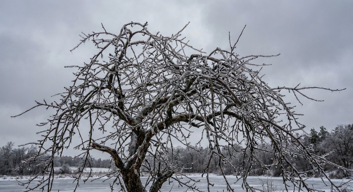
So the drops stay liquid right up until they hit something solid, like a road, a tree branch, a power line, or your car door handle. On contact, they freeze rapidly into a smooth layer of ice called glaze.
Temperature profile for freezing rain
Cold air high up (snow forms) → warm air in the middle (snow melts) → thin cold air near the ground (drops supercool but stay liquid) → freeze on contact.
What creates sleet
Sleet also commonly starts with snow that melts into rain in a warm layer. The difference is what happens in the final stretch:
- After melting, the raindrops fall into a deeper layer of below-freezing air near the surface.
- That cold layer is thick enough that the drops refreeze while still in the air.
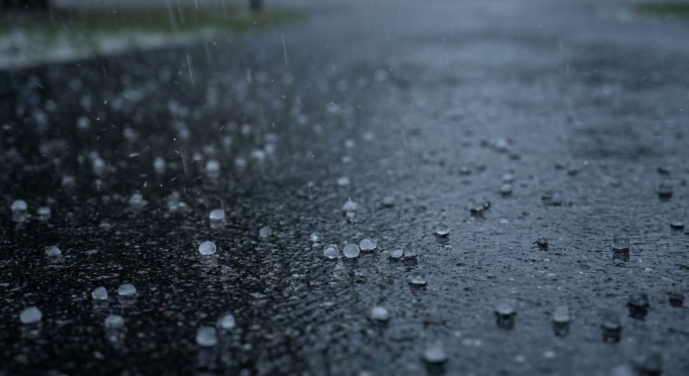
- They reach the ground as ice pellets that bounce and rattle.
Those pellets are sleet. They are not delicate snowflakes, and they are not liquid like rain. They are tiny pieces of ice, typically a few millimeters across.
Temperature profile for sleet
Cold air high up (snow forms) → warm air in the middle (snow melts) → thicker cold air near the ground (drops refreeze midair) → ice pellets at the surface.
Why one becomes a skating rink and the other becomes a rattle
If you only remember one difference, make it this:
- Freezing rain is liquid when it arrives and freezes on contact, creating a smooth ice coating.
- Sleet is already frozen when it arrives, landing as little pellets that bounce.
That “liquid versus frozen at impact” split explains most of the real world effects people notice.
Hazards: glaze vs pellets
Freezing rain hazards
Freezing rain is famous for building a clear, heavy glaze. That glaze is what turns roads into near-frictionless surfaces and weighs down branches and wires.
- Roads and sidewalks: Ice forms a continuous sheet. Traction drops fast because the surface becomes smooth, not crunchy.
- Trees and power lines: The ice adds weight and wind resistance, increasing the chance of limb breaks and outages.
- Everything becomes slippery: Steps, parking lots, railings, even doormats can get a thin, hard-to-see coating.
Sleet hazards
Sleet tends to be less about invisible glaze and more about accumulation and reduced traction in a different way.
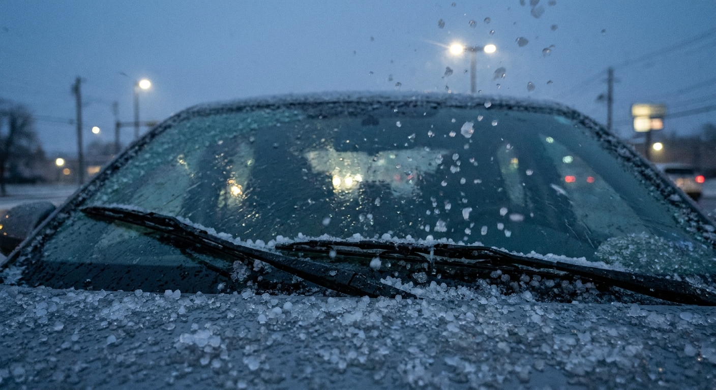
- Roads and sidewalks: Ice pellets can roll and collect, behaving a bit like ball bearings. They also compact under tires into a rough, icy layer.
- Visibility and noise: Sleet can be loud, and heavier bursts can reduce visibility, though it is often less dramatic than a thick curtain of snow.
- Less load on trees: Because sleet does not coat everything as efficiently as freezing rain, it usually adds less weight to branches and lines.
In other words, freezing rain is the “coat everything in glass” event. Sleet is the “pepper the ground with pellets” event.
Why forecasts can flip
From the ground, it can feel like splitting hairs. But the atmosphere often balances on a knife edge near 32°F or 0°C.
A small change in temperature, or a small change in how thick the near-surface cold layer is (meteorologists also watch the wet-bulb temperature profile), can change the outcome:
- If the cold layer is too shallow, drops stay liquid longer and you lean toward freezing rain.
- If the cold layer is deep enough, drops have time to refreeze and you lean toward sleet.
This is also why you can see sleet at the start of a storm, then freezing rain later, or the other way around. The vertical “layer cake” is changing as warm and cold air masses jockey for position.
Quick ID tips
You do not need fancy instruments to make a decent guess.
If it is freezing rain
- It looks like plain rain, but surfaces quickly turn glossy.
- Tree branches and cars start to look varnished.
- You may see water droplets on surfaces that then harden into clear ice.
If it is sleet
- You can often hear it ticking or pinging.
- You might see pellets bouncing when they hit pavement.
- Accumulation looks like tiny beads of ice rather than a smooth coating.
Common confusion
Sleet vs hail
One more fast cleanup, because I hear this mix-up every winter: sleet is not hail.
- Sleet is a cold-weather process tied to melting and refreezing as precipitation falls through warm and cold layers.
- Hail forms in strong thunderstorm updrafts, where ice grows in layers inside a storm cloud.
If it is thundering and you are seeing chunks of ice in warm season weather, that is a hail story, not a sleet one.
A note on wording
One extra wrinkle: terminology can vary by country. In the U.S., sleet usually means ice pellets. In parts of the U.K. and elsewhere, “sleet” is sometimes used for a sloppy mix of rain and snow. If you are reading forecasts from different sources, keep that translation in mind.
Bottom line
Freezing rain and sleet can start from the same snowflakes, but the last few thousand feet of air decide their fate.
- Freezing rain: melts aloft, stays liquid in a shallow cold layer, then freezes on contact and creates glaze.
- Sleet: melts aloft, then refreezes in a deeper cold layer, falling as bouncing ice pellets.
Same storm, different atmospheric layer cake, very different experience when you step outside.
FAQ
Can freezing rain and sleet happen at the same time?
Yes. The temperature profile can vary over short distances or change with time. One neighborhood can have a slightly deeper cold layer (more sleet) while another has a shallower cold layer (more freezing rain).
Does sleet mean it is colder than freezing rain?
Often, but not always in a simple way. Sleet typically requires a deeper below-freezing layer near the surface, which is more likely when cold air is firmly in place. Freezing rain can occur when surface air is below freezing too, but the cold layer is shallow.
Is “ice pellets” the same as sleet?
In U.S. weather reporting, yes. “Ice pellets” is the more technical phrasing you will see in forecasts and observations.
Why does freezing rain sometimes not freeze immediately?
Surfaces can be slightly above freezing at first, especially after a warmer day. Also, supercooled drops might splatter and run before freezing. But once the surface cools below freezing, glaze can build quickly.