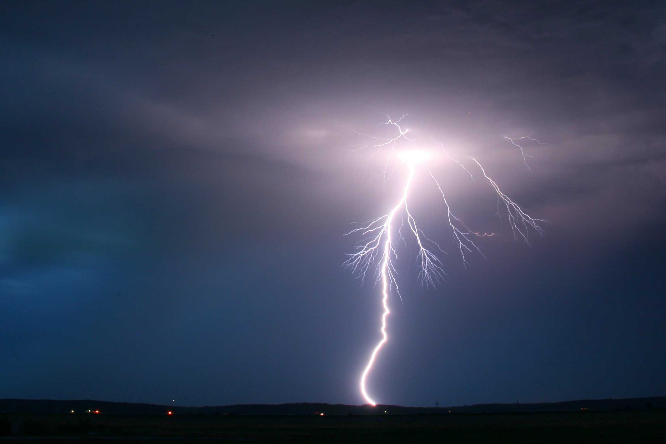
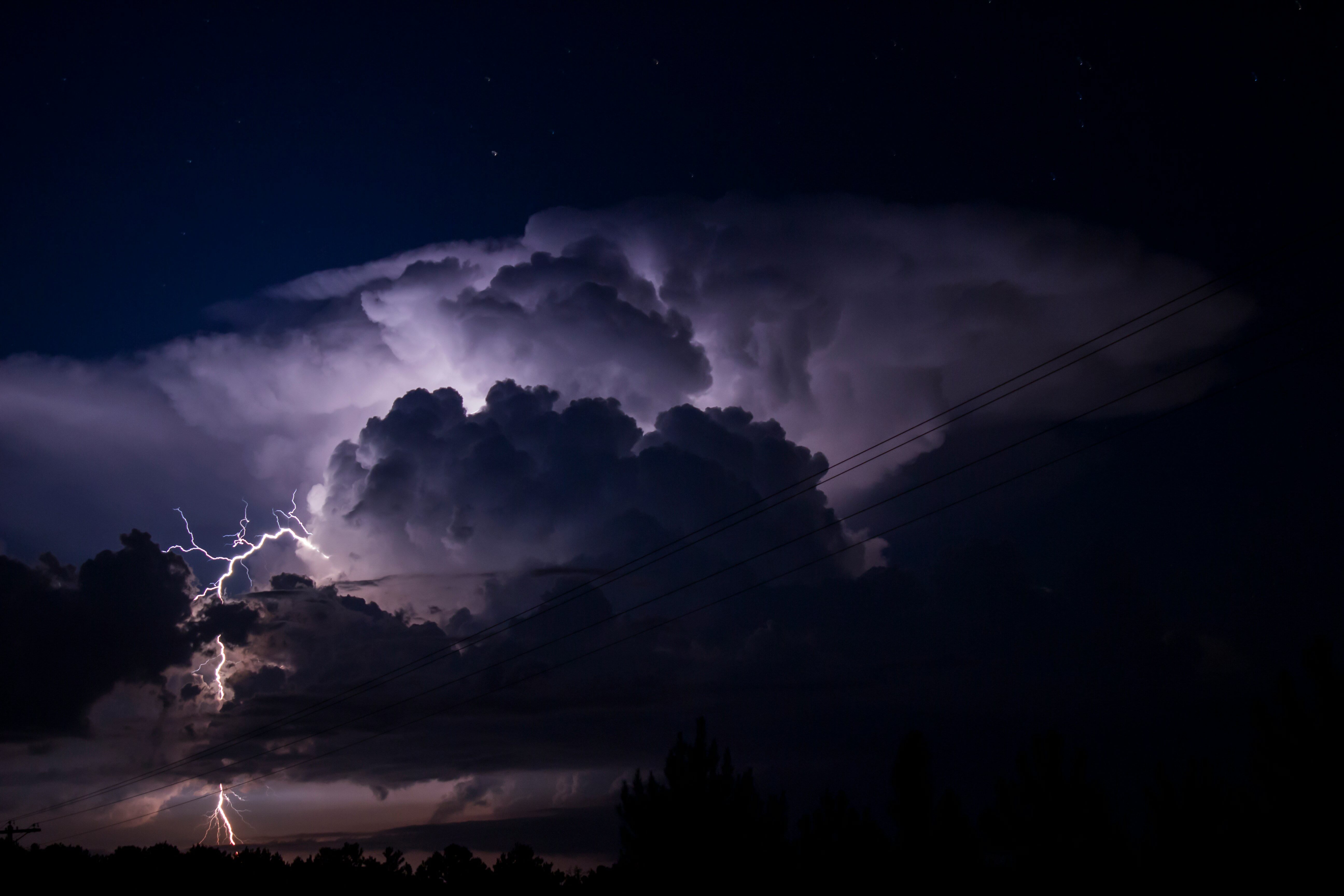
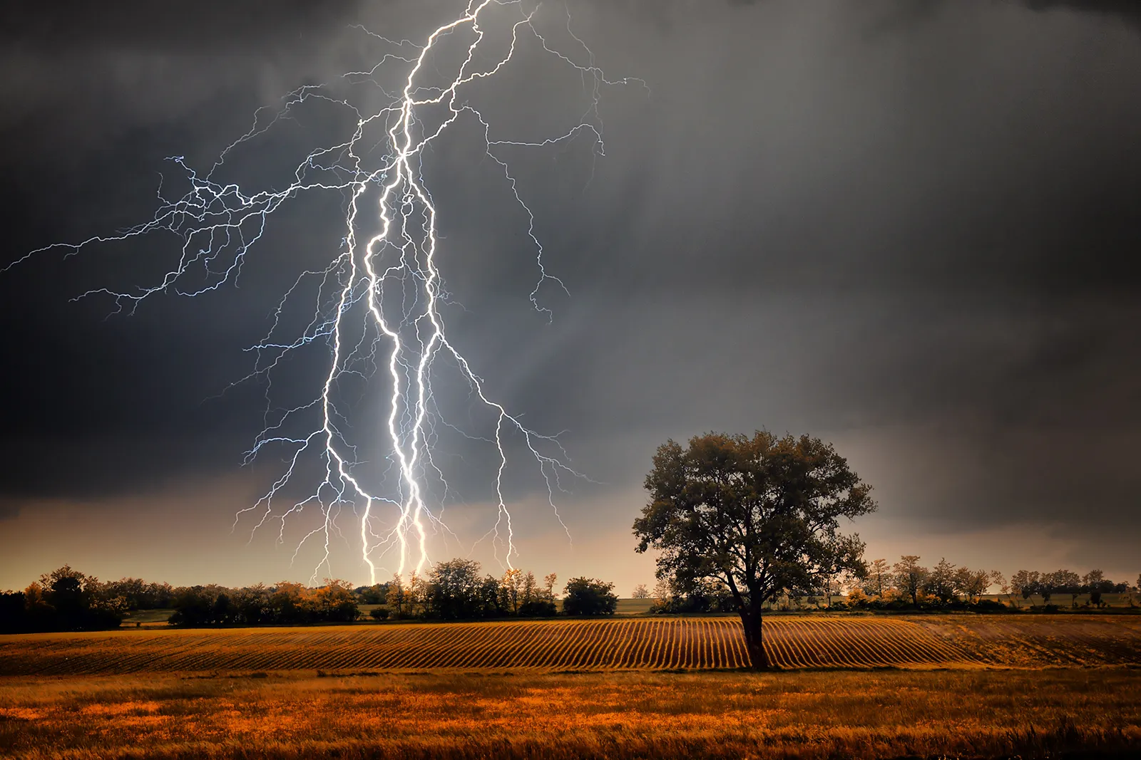
The first time I experienced thundersnow, I honestly thought my brain was glitching. Snow was coming down in thick, wind-blown sheets, and then I heard it: a low, compact boom, like someone shut a heavy door in the sky. Lightning in a snowstorm feels like seeing a campfire crackle in the middle of a blizzard. Rare, a little unreal, and completely fascinating once you know what you are looking at.
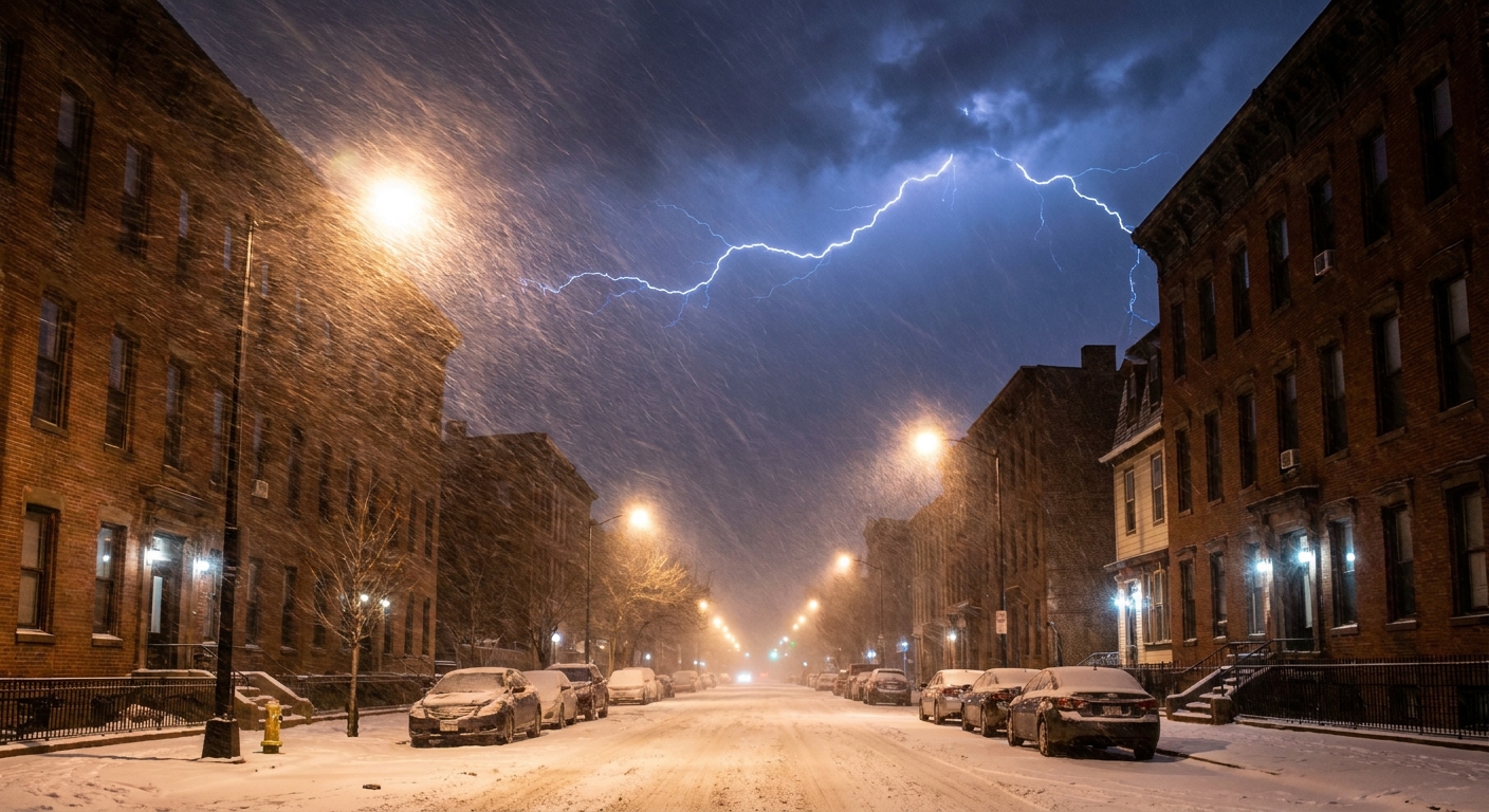
Thundersnow is exactly what it sounds like: snow falling while lightning and thunder occur. It is not a different kind of snowflake. It is thunderstorm-like convection embedded in a snowstorm, and that combination requires a very specific set of atmospheric ingredients.
The quick definition
Thundersnow happens when a storm produces snow (not rain) while also generating electrical charge separation strong enough to create lightning, which then produces thunder.
In other words, you need two things at once:
- Cold air deep enough that precipitation stays snow all the way to the ground.
- Enough instability and moisture for vigorous rising air inside the cloud, which helps build the electrical engine of a thunderstorm.
Most winter storms have plenty of cold air, but they often lack the punchy, vertical updrafts that make lightning common in summer storms. Thundersnow is what you get when winter manages to borrow a bit of summer’s storm physics.
How lightning forms in a snowstorm
Lightning requires a cloud to act like a giant charge-separating machine. Inside a storm cloud, particles collide, stick, break apart, and swap charge. Over time, different parts of the cloud become positively or negatively charged. When the electrical imbalance gets intense enough, air breaks down electrically and a lightning channel forms.
In a classic warm-season thunderstorm, this charge separation is helped along by collisions among graupel (soft, opaque ice pellets formed when snow crystals get coated in supercooled water), ice crystals, and supercooled water droplets in a turbulent region of the cloud.
That same basic microphysics can show up in winter storms, too. Many thundersnow events involve:
- Strong upward motion that lifts moist air quickly, building a tall, energetic cloud structure.
- A mixed-phase region where ice and supercooled liquid water coexist, creating lots of collisions.
- Graupel production, which is especially helpful for charge separation.
The key is not the season. The key is whether the atmosphere can still build a storm with enough vertical motion and the right mix of icy particles to make a spark.

Where it shows up
Thundersnow tends to show up in a few storm setups where winter weather becomes unusually convective, meaning it features vigorous rising air rather than broad, gentle lift.
1) Strong low-pressure systems
Powerful winter cyclones can wrap cold air around themselves while also generating narrow zones of intense lift, especially near fronts or deformation bands. In those bands, snowfall can go from ordinary to whiteout in minutes, and lightning can pop if the cloud becomes electrically active.
2) Lake-effect snow bands
When very cold air flows over relatively warmer lake water, the lowest layer of the atmosphere can destabilize quickly. That instability fuels narrow, intense snow bands that behave a bit like thunderstorm lines, complete with occasional lightning. In the U.S., this is most familiar downwind of the Great Lakes, though similar setups can happen anywhere cold air crosses warmer open water.
3) Cold-season squall lines
Sometimes the atmosphere supports true thunderstorm structures even in winter. If surface temperatures are near or below freezing, the precipitation can fall as snow or a snow and graupel mix while lightning still fires above.
Why snowfall can get intense
If you have ever been in thundersnow, you may remember the snowfall rate more than the lightning. That is not your imagination. The same ingredients that help a storm electrify also often line up with very heavy snow.
Here is the physics in plain language: lightning-friendly storms tend to have strong updrafts. Strong updrafts keep ice particles aloft longer, cycle them through regions of supercooled droplets, and let them grow efficiently. When that conveyor belt finally unloads, snowfall rates can jump fast.
Common features of thundersnow bursts include:
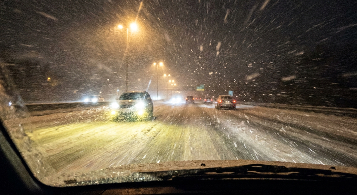
- Rapidly dropping visibility, sometimes to near-whiteout conditions.
- Large, fluffy aggregates when snowflakes clump together, or graupel mixed in.
- Short-lived but extreme bands where one neighborhood gets hammered while another a few miles away is merely snowy.
That combination is one reason meteorologists pay close attention when lightning shows up inside winter precipitation. It can be a hint that the storm is tapping into a more explosive mode of snow production, even if it does not guarantee it.
Why thunder sounds muffled
Thunder is sound created when lightning superheats air, causing it to expand violently and generate a shock wave that becomes the rumbling you hear.
In thundersnow, thunder often seems muffled and closer. Two big reasons:
Snow absorbs sound
Fresh snow is full of tiny air pockets. That makes it good at soaking up sound waves, especially the higher-frequency components that help thunder sound crisp and carry far. The result is stronger attenuation, so thunder may be audible over a shorter distance and can come across as a duller thump instead of a long rolling rumble.
Cloud bases can be lower
Some winter convective clouds have relatively low bases compared with towering summer thunderstorms. If the lightning is physically closer to the ground, the time between flash and bang can be shorter.
Put together, those effects can make thundersnow thunder feel like it is happening right over your roof, even when the storm is only modestly electrified.
Is it dangerous?
It can be. Lightning is lightning, regardless of the season. If you can hear thunder, you are close enough to be struck, so get inside.
But in practice, the bigger hazard is often the snowfall intensity and sudden near-zero visibility. Thundersnow bursts can make roads go from “sloppy but manageable” to “I cannot see the next set of taillights” extremely quickly.
- If you are outside, treat it like any thunderstorm. Follow the 30–30 rule: if the time between lightning and thunder is 30 seconds or less, go indoors immediately, and wait 30 minutes after the last thunder before heading back out.
- If you are driving, slow down early, increase following distance, and be ready for abrupt whiteout conditions.
- If you are skiing, snowshoeing, or hiking, remember that ridgelines and open slopes are not where you want to be with lightning nearby.
How rare is it?
Thundersnow is uncommon compared with ordinary thunderstorms or ordinary snowstorms because it requires an overlap of ingredients that do not often coexist: deep cold air plus enough instability for strong vertical motion and mixed-phase cloud physics.
It is not mythical, though. It shows up most often in places that regularly get intense winter storms, including major coastal systems and lake-effect setups, where narrow bands can briefly behave like winter thunderstorms.
How meteorologists spot it
Thundersnow can be tricky to see coming because it is often tied to small, intense features embedded inside a larger storm. Forecasters usually piece it together using a few tools at once:
- Lightning detection networks, which can confirm that a snow band is electrically active even if you cannot see bolts through heavy precipitation.
- Weather radar, which can reveal narrow, intense bands and convective “cores” inside the broader shield of snow.
- Short-term observations, like sudden pressure falls, quick wind shifts, or reports of graupel and rapidly dropping visibility.
Thundersnow vs. distant thunder
One subtle point: sometimes it is snowing at your location, but the lightning is occurring in a neighboring rain or mixed-precipitation region of the same storm. You still might hear thunder. The strictest definition of thundersnow implies that the snow is falling from the electrified cloud overhead, but in the real world storms are messy, and your experience can blur those boundaries.
If you are seeing flashes that illuminate the snow around you and hearing thunder soon after, that is the classic thundersnow experience.
FAQ
Can thundersnow happen without big, bright lightning?
Yes. Winter lightning can be less frequent, and heavy snowfall can obscure the bolt itself. Sometimes you notice the thunder first, or you see a diffuse flash that lights up the cloud deck rather than a crisp visible channel.
Does thundersnow mean a blizzard?
Not automatically. A blizzard has specific criteria related to wind and visibility over time. Thundersnow can occur in a blizzard, but it can also occur in a shorter-lived heavy snow burst that does not meet blizzard definitions.
Is thundersnow caused by climate change?
Thundersnow is primarily caused by storm dynamics: moisture, lift, and instability in cold air. Long-term climate trends can influence winter storm behavior in complex ways, but any single thundersnow event is best understood as one particular storm lining up the right ingredients.
What should I do if I hear thunder during a snowstorm?
Go indoors if possible and treat it like a standard thunderstorm. If you are traveling, assume conditions can deteriorate rapidly, because thundersnow often comes with the most intense snowfall rates in the storm.