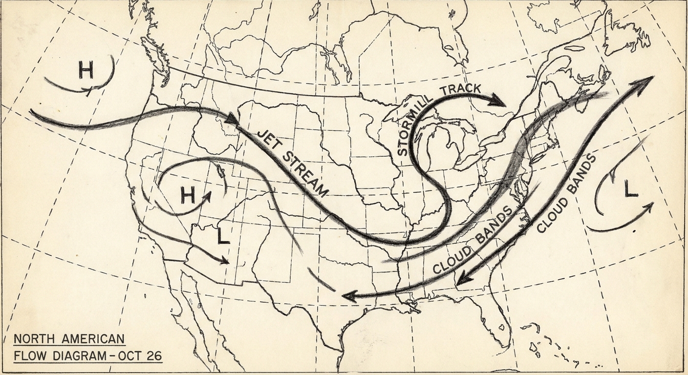
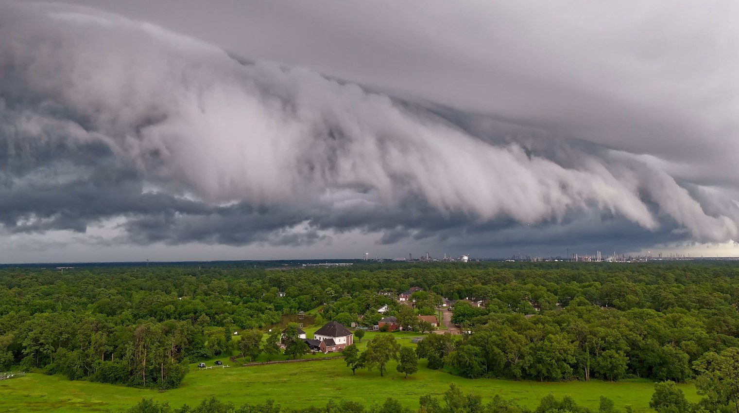
The first time I remember hearing the phrase Alberta clipper, I was teaching motion in physics and watching a winter forecast on mute during a lab. The storm track on the map looked like someone had flicked a marble off the Canadian Rockies and let it zip across the Plains. That is basically the vibe. A clipper is a winter low-pressure system that often forms or organizes just east of the Rockies, then races east-southeast across the northern United States, bringing a quick hit of snow, a surge of wind, and a noticeable temperature drop.
The simple definition
An Alberta clipper is a fast-moving extratropical cyclone that typically develops in or near Alberta (and sometimes nearby provinces like Saskatchewan), then tracks east-southeast across the northern tier of the United States. Forecasters call it a “clipper” because it tends to move quickly, clipping along from one region to the next.
Compared with bigger moisture-fed systems, clippers are often:
- Fast, sometimes crossing several states in a day or two
- Relatively dry, with limited access to ocean or Gulf moisture
- Windy, especially behind the cold front
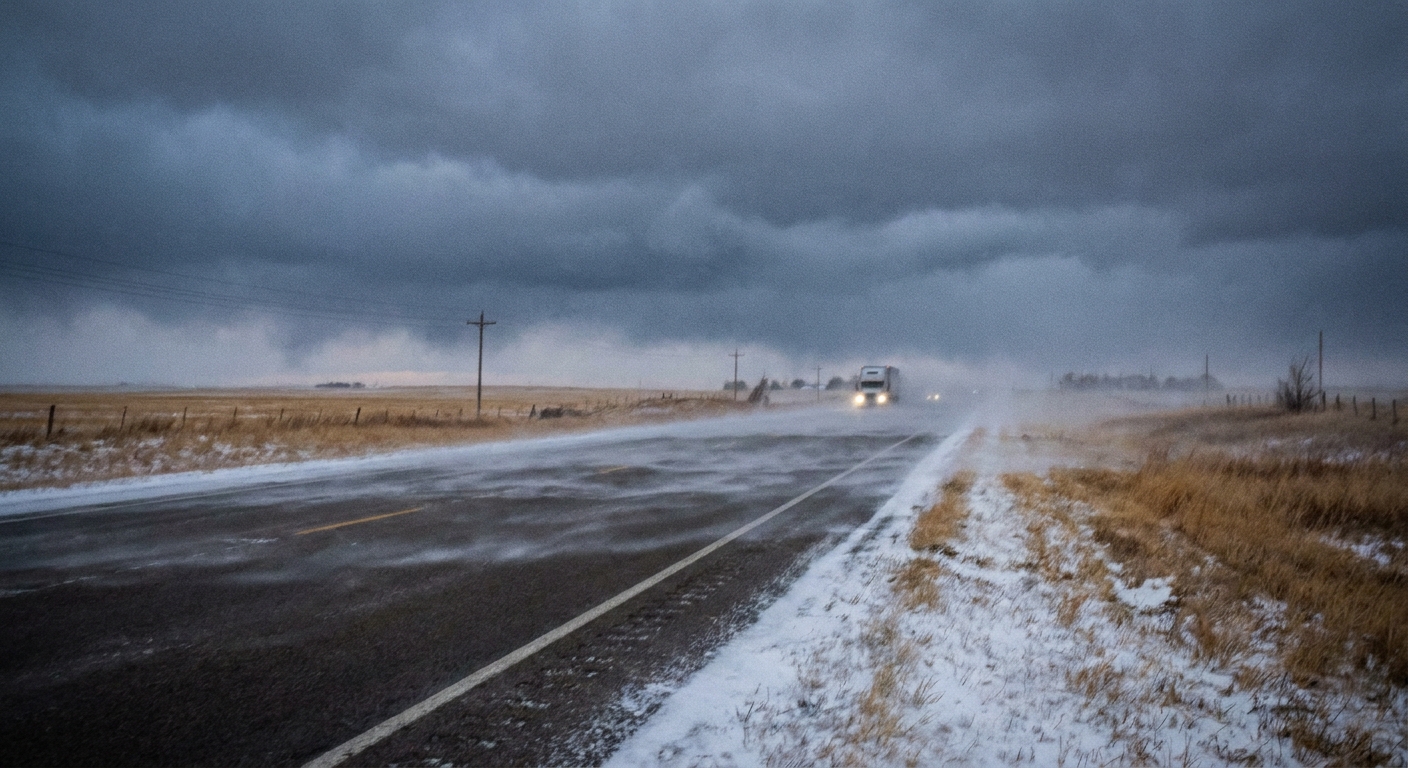
- Good at making travel messy anyway, thanks to powdery snow and blowing snow
Why Alberta matters
Most Alberta clippers are born in the atmospheric “wake” of the Rockies. Here is the rough recipe:
- Cold, dense air pools over western Canada.
- Winds aloft curve around the Rockies. Downwind, the flow can encourage surface low pressure to form or strengthen on the plains, a process meteorologists often describe as lee cyclogenesis.
- Once that low gets organized, it can get picked up and steered by a strong, fairly straight segment of the jet stream.
Alberta is not magic, it is just a common launch zone. The key ingredients are the Rockies to the west, cold air to work with, and a jet stream pattern that acts like a moving walkway aimed toward the central and eastern United States.
Why they are often dry
If you have ever heard a forecast like “a clipper brings an inch or two,” this is why. Many clippers start with limited moisture because:
- They form over continental air masses, not warm oceans.
- They often track through regions where the air is already cold and relatively low in water vapor.
- They are moving fast, which can limit the time available to pull in and wring out moisture.
But “dry” is a relative term. Even a modest amount of moisture can produce accumulating snow when the air is cold enough. And clippers sometimes become more productive later if they tap additional moisture, especially near the Great Lakes.
What weather they bring
Think of an Alberta clipper as a winter system that likes to keep appointments. It shows up, makes its point, and moves on. Typical impacts include:
A short burst of snow
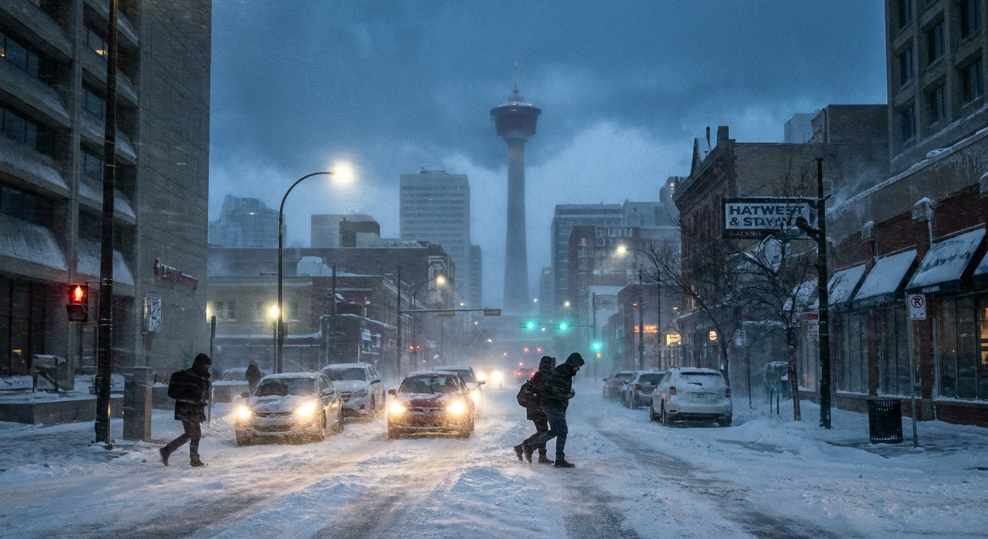
Snow from a clipper is often light to moderate in total amount, but it can fall in a compact window. That can still create slick roads, especially if the pavement is cold and untreated.
Wind and blowing snow
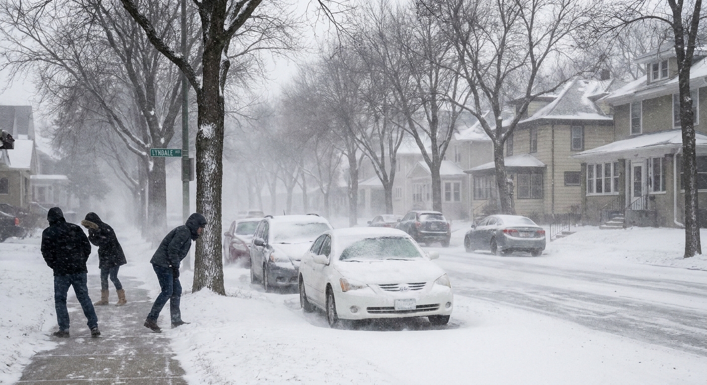
Clippers commonly bring gusty winds, especially behind the cold front as colder, denser air surges in. When snow is fluffy and temperatures are low, it is easier for wind to lift it and reduce visibility. That is how you can get near-whiteout conditions even when the snow totals are not huge.
A fast temperature drop
Many clippers arrive with a front that flips the air mass quickly. If you are outside walking the dog and thinking, “It was fine an hour ago,” you are not imagining things.
How forecasters track them
From a forecasting perspective, Alberta clippers are a lesson in atmospheric steering. Meteorologists watch for a few classic signals:
- Jet stream position and speed: Clippers often ride a strong northwest to southeast flow aloft.
- A shortwave trough: A small dip in the upper-level flow can help a surface low strengthen.
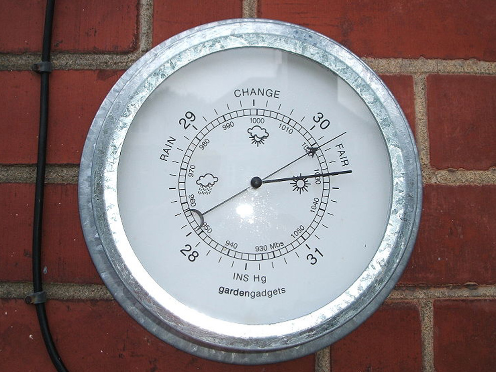
- Surface pressure patterns: A tightening pressure gradient usually hints at stronger winds.
- Moisture sources: Whether the system can pick up Great Lakes moisture or interact with other features can make the difference between flurries and a more disruptive snowfall.
Because these systems can move fast, the forecast can shift rapidly too. Not usually because the laws of physics are being rude, but because small track differences can nudge a narrow snow band north or south.
Where impacts vary
One reason clippers get talked about so much is that they are common, and they run a familiar corridor. A typical path goes from Alberta or Saskatchewan into the northern Plains, then through the Upper Midwest and Great Lakes, and sometimes on toward the Northeast.
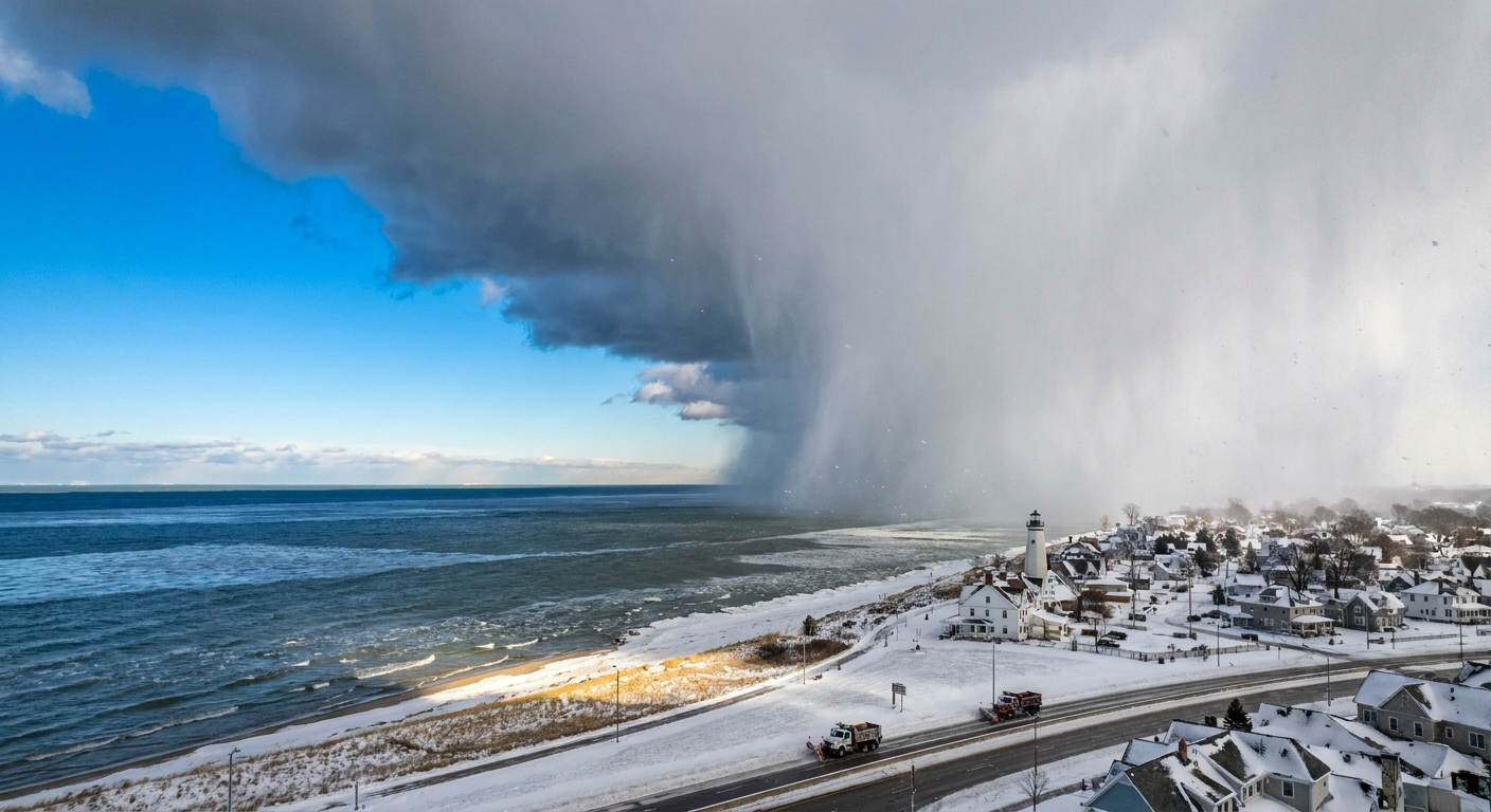
The same clipper can feel minor in one place and surprisingly disruptive in another. In particular, impacts often spike near and east of the Great Lakes, where cold air sweeping over comparatively warmer lake water can boost snowfall and cut visibility downwind.
Clipper vs. other storms
Winter storms get a lot of nicknames, and they are not interchangeable. Here is a helpful way to separate a clipper from a few look-alikes:
- Alberta clipper: Fast, relatively low moisture, often light snow and gusty winds, usually tracking from western Canada across the northern United States.
- Nor’easter: Often slower and much wetter, fueled by Atlantic moisture, with heavy snow or rain and strong coastal winds.
- Colorado low: Often develops in the central Rockies or High Plains and can produce heavier snow farther north if it draws in Gulf moisture.
- Bomb cyclone: Not a storm “type” so much as a rapid intensification rule, usually defined as about a 24 millibar pressure drop in 24 hours (with the exact threshold adjusted by latitude). A clipper can intensify, but many are not bomb cyclones.
Can a clipper grow bigger?
Sometimes. A classic Alberta clipper is moisture-limited, but a few things can upgrade the impacts:
- Great Lakes enhancement: As cold air sweeps across warmer lake water, additional moisture and instability can boost snowfall downwind.
- Phasing with other systems: If an upper-level disturbance and surface features line up just right, the storm can deepen more than expected.
- Access to moisture: If the track allows the system to draw in more humid air, snowfall rates can increase.
Even then, the clipper personality often remains. It is still moving, still efficient, and still unlikely to linger for days.
What to watch in your forecast
If a clipper is headed your way, a few details matter more than the headline:
- Timing: Clippers love arriving during commutes because the worst conditions can be brief but intense.
- Wind gusts: Stronger gusts can turn a minor snowfall into a visibility problem.
- Temperature: Colder air tends to mean fluffier snow, which blows around more easily.
- Band placement: Many clippers have narrow corridors of steadier snow. Ten to thirty miles can change your totals a lot.
Quick safety checklist
- Plan for visibility swings: Blowing snow can go from “fine” to “where did the road go” in minutes.
- Watch for refreeze: A clipper’s cold push can raise the risk of a flash-freeze, especially where slush or meltwater refreezes after the front.
- Give yourself time: Even small totals can be plenty to slow traffic if they hit at rush hour.
- Check advisories: Wind advisories and snow squall warnings can matter as much as snowfall totals.
FAQ
How much snow does an Alberta clipper usually bring?
Often a light to moderate accumulation, commonly a few inches or less, but it varies. The bigger story is frequently the combination of quick snowfall plus wind, which can make roads and visibility worse than the totals suggest.
Why are Alberta clippers so fast?
They are typically embedded in strong upper-level winds. When the jet stream is oriented northwest to southeast and moving briskly, the storm gets carried along like a leaf in a swift river current.
Are clippers dangerous?
They can be, mainly for travel. Blowing snow, sudden drops in visibility, and rapid cooling after the front passes can create hazardous conditions even without blockbuster snow totals.
When do Alberta clippers happen most?
They are primarily a cold-season feature, showing up most often from late fall through winter, when cold air and active jet stream patterns set the stage.