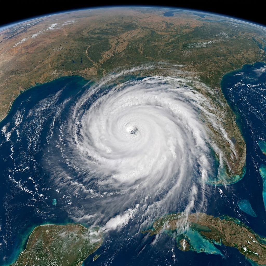
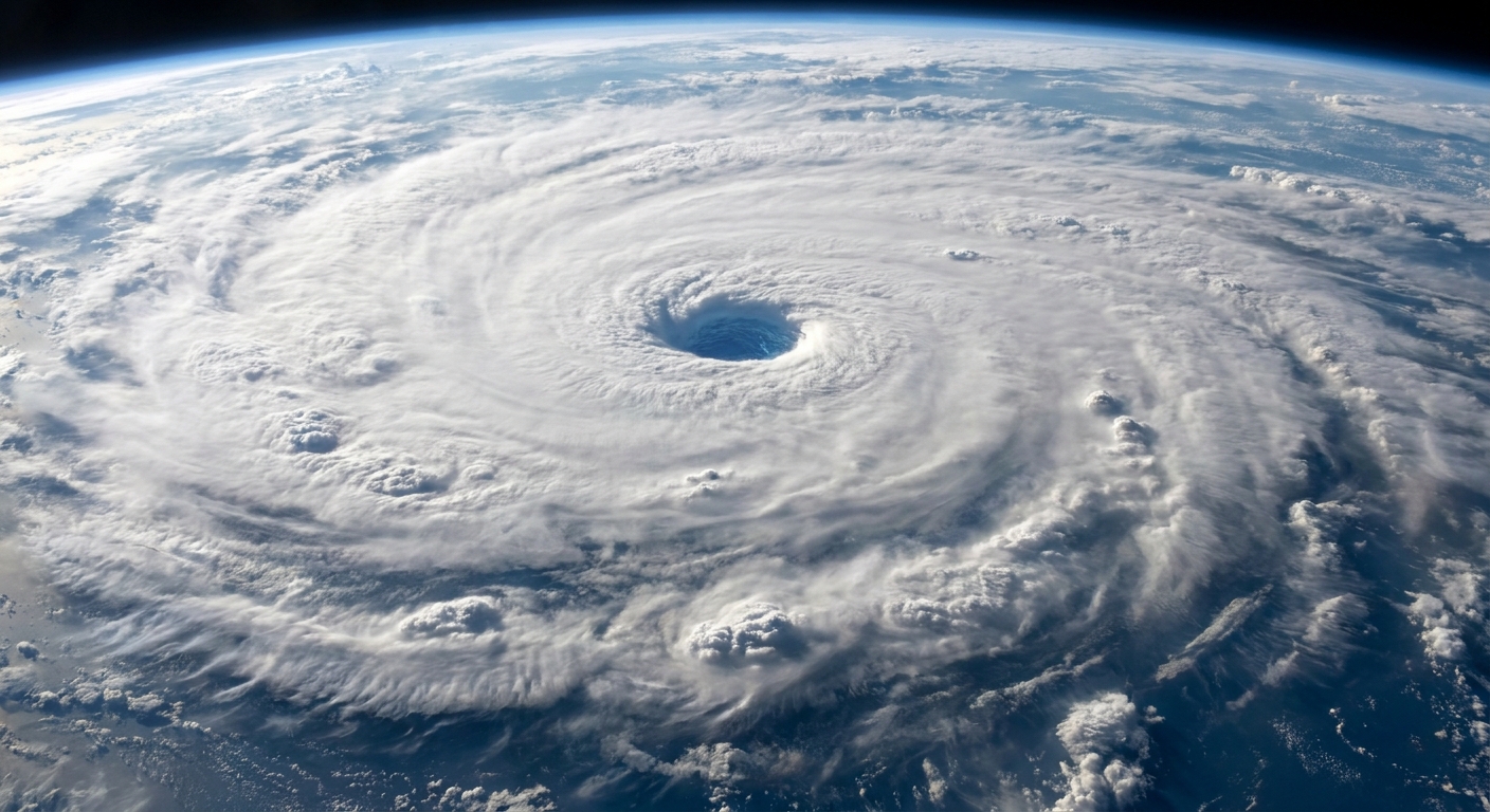
I used to tell my physics students that nature loves to fool us with “obvious” labels. A “blizzard” sounds like it should mean “a lot of snow,” but the National Weather Service (NWS) defines it more like a visibility and wind problem than a snowfall problem. In other words, a blizzard is what happens when the atmosphere turns snow into airborne sandpaper and the world outside your window essentially disappears.
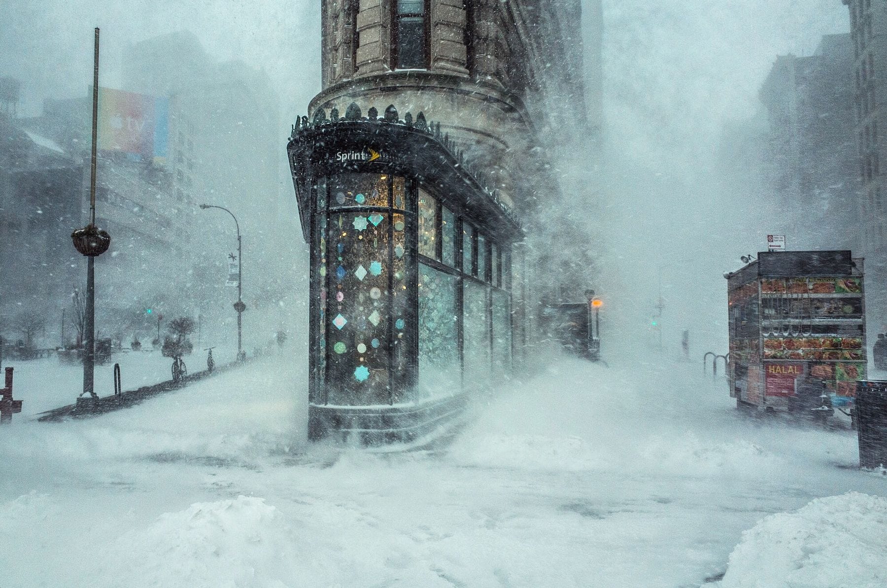
The NWS blizzard criteria
The formal NWS blizzard criteria are built around three measurable ingredients. For a storm to meet the definition (and for a Blizzard Warning), all three need to be present.
- Wind: Sustained winds or frequent gusts of 35 mph (56 km/h) or greater
- Visibility: Considerable falling and/or blowing snow that reduces visibility to less than 1/4 mile (0.4 km)
- Duration: Those conditions persist for at least 3 hours
Two details in that wording matter a lot:
- “Falling and/or blowing snow” means the whiteout can be created by new snow coming down, older snow being lifted off the ground, or a combination. You can have blizzard conditions even if the sky is not dumping huge flakes at that moment.
- “Sustained winds or frequent gusts” acknowledges that wind does not have to be a steady 35 mph all day. If gusts repeatedly hit that threshold and visibility stays under a quarter mile, the travel impacts can be comparable.
Why heavy snow alone is not enough
If you take only one thing from the official definition, let it be this: blizzards are defined by the inability to see and move safely, not by snowfall totals. A storm can drop 10, 20, even 30 inches of snow and still fail the blizzard test if winds stay modest and visibility does not crash.
Think of snow like flour on a countertop. A big pile is messy, sure. But the moment you turn on a fan and it becomes airborne, it stops being just “messy” and starts being a breathing, seeing, and navigating problem. That is the blizzard shift: snow plus wind becomes a visibility hazard that can shut down roads, strand drivers, and overwhelm rescue response.
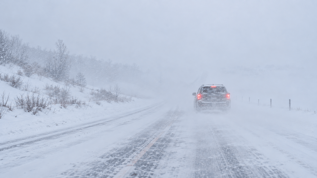
Near-miss storms
Here are a few common scenarios that feel blizzard-like to people, but do not meet the NWS criteria.
1) Heavy snow, light wind
Example: 2 inches per hour snowfall, but winds only 10 to 20 mph. Roads can become impassable due to accumulation, yet visibility may stay above 1/4 mile much of the time. This is a serious snowstorm, and it may warrant a Winter Storm Warning, but it is not necessarily a blizzard.
2) Windy and snowy, but visibility stays higher
Example: Gusts reach 35 to 45 mph, but visibility mostly bounces between 1/2 mile and 1 mile. That is still dangerous, especially for high-profile vehicles, but it does not qualify as blizzard conditions if visibility is not consistently under 1/4 mile. Depending on snowfall and impacts, this often fits under a Winter Storm Warning or Winter Weather Advisory.
3) Whiteouts that do not last long enough
Example: A powerful snow squall drops visibility to near zero with intense gusts, but it lasts 20 to 60 minutes. That is a high-impact burst event, yet it fails the 3-hour duration requirement for the blizzard definition. In many areas, the NWS may issue a Snow Squall Warning for this kind of threat.
4) Bitter cold, but snow will not loft
Example: Brutal wind chill and moderate snowfall, but the snow is too wet and heavy to blow around easily. Visibility may be reduced, but not to blizzard thresholds. Still hazardous, just hazardous in a different way.
Blizzard with little new snow?
Yes. One of the more surprising parts of the definition is that a blizzard can be driven by blowing snow alone if winds are strong enough and there is snow on the ground to pick up.
That is why you will sometimes hear about blizzard conditions occurring “behind” a storm system. The main snow may be tapering off, but strong winds can continue to loft existing snow and keep visibility under 1/4 mile for hours, especially in open areas where dry, powdery snow can be easily lifted.
Blizzard Warning vs Winter Storm Warning
Both products are serious, but they flag different primary hazards.
- Blizzard Warning: Issued when forecasters expect the specific blizzard combination of 35 mph sustained winds or frequent gusts, visibility under 1/4 mile, and at least 3 hours of those conditions. The headline risk is often life-threatening travel due to whiteout conditions, disorientation, and rapidly stranded vehicles.
- Winter Storm Warning: Issued for a significant winter storm that can involve heavy snow, sleet, freezing rain, or a combination. A winter storm warning can be issued without blizzard-level winds if the main hazard is expected accumulation, icing, or widespread impacts.
In practice, a winter storm warning often communicates “expect a lot of winter precipitation and difficult conditions,” while a blizzard warning communicates “expect visibility collapse plus strong winds for hours.” It is a difference in what makes the storm most dangerous.
What to do in a Blizzard Warning
If you see a Blizzard Warning for your area, treat it like a visibility emergency, not just a snow day.
- Avoid travel if you can. Whiteouts can make a familiar road feel like a blank sheet of paper.
- If you must drive, tell someone your route, carry a winter kit (warm layers, blanket, water, snacks, phone charger), and be ready to turn back early.
- Plan for outages if your region is prone to them: charge devices, keep extra batteries handy, and make sure you can stay warm safely.
- Check local alerts for road closures and shelter information. Conditions can vary dramatically over short distances.
Quick checklist
If you are trying to translate weather headlines into a simple mental model, this one is surprisingly faithful to the science.
- 35 mph wind sustained or frequently gusting
- Less than 1/4 mile visibility due to falling and/or blowing snow
- 3 hours or more of those conditions
Miss any one of the three and you may still have a dangerous winter storm, but it is not a blizzard by NWS definition.
FAQ
Is there a snowfall amount that makes it a blizzard?
No. The NWS blizzard criteria do not include a snowfall total. Heavy snow often occurs in blizzards, but it is not required.
What is a ground blizzard?
A ground blizzard is a situation where strong winds blow existing snow on the ground high enough to reduce visibility significantly, sometimes with little or no new snow falling. It can still create blizzard-like hazards because the danger is driven by visibility and drifting.
Why is the visibility threshold 1/4 mile?
Because below that distance, navigation becomes unreliable and driving becomes extremely risky. At highway speeds, a driver can outrun their ability to see hazards ahead, and in open country it is easy to lose orientation entirely.