Curiosity, with all its quills showing.
If you have ever checked the forecast and noticed the same soggy story repeating day after day, a stationary front is a prime suspect. Unlike a cold front that sweeps through or a warm front that steadily advances, a stationary front is a truce line in the atmosphere: warm air on one side, cold air on the other, and very little forward progress.
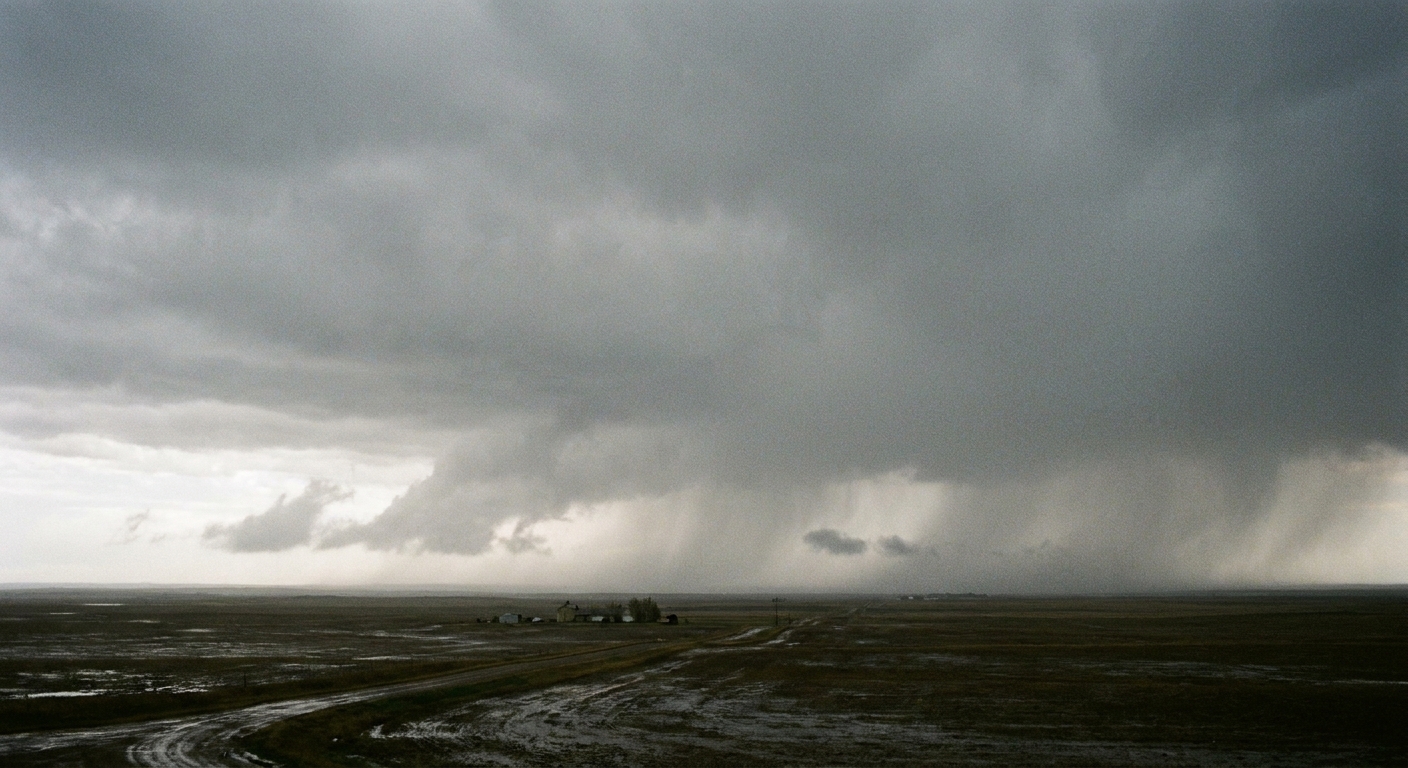
Stationary front, in plain terms
A stationary front is the boundary between two air masses of different temperatures, typically warm air on one side and cooler or cold air on the other, that does not move much. Meteorologists generally label a front “stationary” when it drifts at less than about 5 knots, or roughly 10 km/h, over a day, or when it shows little change in position for about 24 hours.
The key idea is not that the atmosphere is calm. It is that the dividing line between air masses stalls, so the same region can stay under the influence of lift, clouds, and precipitation for an extended stretch.
How a stationary front forms
Fronts move when one air mass can push another out of the way. A stationary front forms when neither side wins.
Why the boundary can stall
- Balanced winds: Winds on either side of the boundary can line up so that neither air mass advances decisively.
- Topography: Mountains and high terrain can slow, redirect, or block low-level air flows, helping a boundary linger near the same location.
- Weak pressure pattern: If the larger-scale weather system steering the front is weak or slow-moving, the front can lose its shove.
- Reinforcement from both sides: Fresh cool air feeding in behind the cool side and warm, moist air feeding in on the warm side can keep the contrast sharp without moving the line much.
Even when the boundary itself is nearly stationary, air is still flowing. The atmosphere remains busy with convergence near the front, meaning air coming together, and lift, meaning air being forced upward. That is why stationary fronts are so often cloud-makers.
What weather a stationary front brings
The hallmark of a stationary front is persistence. Because the front is not clearing out, clouds and precipitation can repeat over the same general area. If you have ever felt like the sky is stuck on the same setting, this is one of the usual culprits.
Long-lasting clouds
Stationary fronts commonly produce widespread cloudiness, often layered and extensive. The reason is simple: where warm and cool air meet, air often rises. Rising air cools, water vapor condenses, and clouds thicken. A classic look is a lot of stratus or nimbostratus, with occasional embedded taller clouds when the air is more unstable.
Repeated rain or snow
Stationary fronts can be associated with periods of light to moderate rain that come and go, sometimes punctuated by heavier bursts if additional disturbances ride along the boundary. In colder seasons, that same setup can yield repeated snow, or mixed precipitation near the temperature line.
One especially important detail: a stationary front can act like a railroad track for storms. Small low-pressure waves can travel along it, triggering new rounds of precipitation. Often, the steadiest precipitation falls on or just to the cool side of the front where warm, moist air is overrunning cooler air, although the exact placement varies by setup.
That “storms on tracks” behavior is one reason flooding can become a concern when a stationary front sits in place and moisture keeps arriving.
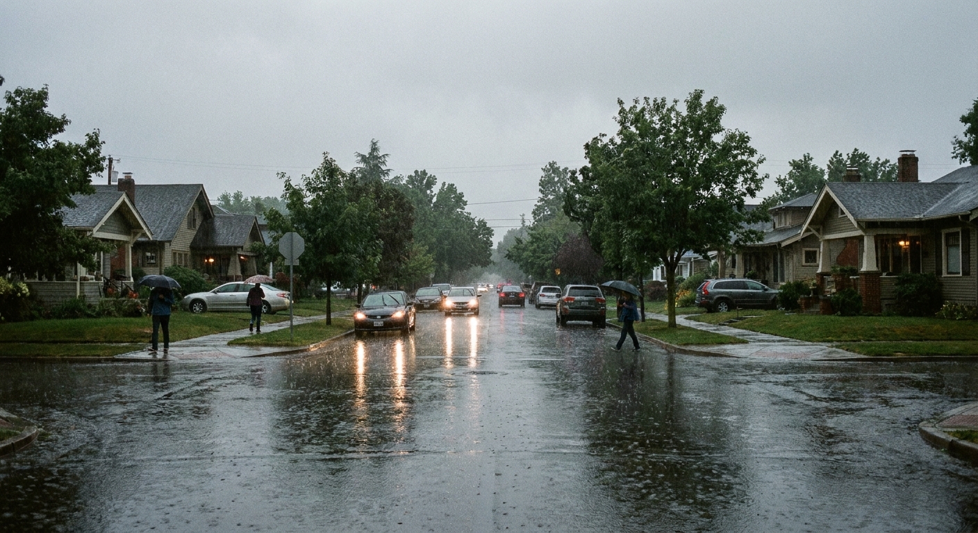
Wind shift across the boundary
Even when the front is not moving, it still separates different air masses, and that often means a noticeable wind shift from one side to the other.
- On the cool side, winds may blow more from a direction that favors cooler, denser air feeding in.
- On the warm side, winds often bring in warmer, more humid air.
The exact directions depend on the regional pressure pattern, but the useful takeaway is this: crossing a stationary front can feel like stepping into a different air. Temperatures, humidity, and wind can change abruptly over a relatively short distance.
How it appears on a weather map
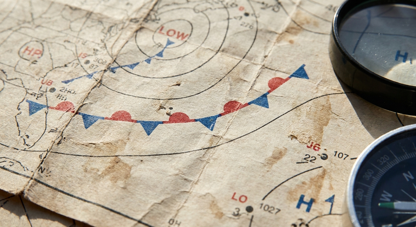
On standard surface weather maps, a stationary front is shown as a line with alternating blue triangles and red semicircles on opposite sides of the line. The symbols point in opposite directions to emphasize that the boundary is not advancing like a cold front or warm front.
What to look for around it
- Tight temperature gradient: A clear contrast in temperatures across the line.
- Dew point difference: Often, the warm side has higher moisture.
- Cloud and precipitation shield: Radar and satellite commonly show bands or broad areas of clouds and precipitation near and along the boundary.
- Waves or small lows: Little kinks in the front can signal developing low-pressure disturbances that may increase rain or snow.
Stationary vs cold vs warm
All fronts separate air masses. The difference is how the boundary behaves and what that implies for your weather.
- Cold front: Colder air advances, often bringing a quicker shift in weather and a more defined passage.
- Warm front: Warmer air advances, typically with clouds and precipitation that can arrive before the front passes.
- Stationary front: Neither air mass advances much, so clouds and precipitation can linger and repeat.
In practice, fronts can change type. A stationary front can start moving again and become a cold or warm front, depending on which air mass finally gains the upper hand.
Why it can mean flooding
When precipitation keeps revisiting the same area, impacts accumulate. Saturated soils, swollen streams, and repeated downpours can push a region from nuisance puddles to serious flooding. A stationary front is not the only setup that causes prolonged rainfall, but it is a classic one because it keeps the ingredients in place: lift along the boundary and a pathway for moisture to keep arriving.
What to do with the forecast
If you see a stationary front lingering near your area, it is usually smart to think in terms of repeats, not one-and-done.
- Watch the day-to-day totals: A “chance of rain” for three straight days can add up even if each period is not extreme.
- Check radar, not just icons: Look for small waves or clusters sliding along the boundary, because those are the features that can turn drizzle into a soaking.
- Take flood alerts seriously: If flood watches or advisories pop up, it is often because the ground is already losing the ability to absorb another round.
Quick questions
How long can a stationary front last?
It can persist for a day or several days, depending on the larger weather pattern steering the air masses. Sometimes it wobbles north and south without truly departing.
Does a stationary front always bring rain?
No, but it often brings clouds and increases the chance of precipitation because air is frequently forced upward along the boundary. The amount of moisture available and the presence of additional disturbances make a big difference.
Can severe weather happen near a stationary front?
Yes. If warm, humid air is present and the atmosphere becomes unstable, thunderstorms can develop near or along the boundary. In some setups, stationary fronts can help focus storms repeatedly over similar locations.
The takeaway
A stationary front is a stalled boundary between warm and cold air. Its signature is not speed, but staying power: long-lasting clouds, repeated rain or snow, and a wind shift across the line. When you spot that alternating blue-and-red front symbol parked near your area on a weather map, it is a hint to plan for weather that may be slow to change.