Curiosity, with all its quills showing.
If you have ever looked at a weather map and wondered why the jet stream refuses to stay in a neat circle around the pole, the answer often starts with a Rossby wave. These are the atmosphere’s continent-sized bends and bulges, slow enough to shape week-to-week weather, and powerful enough to rearrange where cold air and storm tracks go.
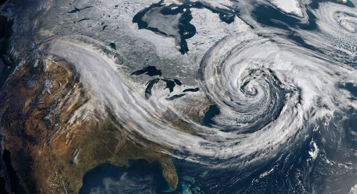
Rossby waves, in plain language
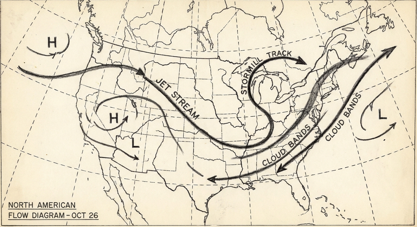
A Rossby wave is a large-scale, planetary wave in the atmosphere or ocean. In the atmosphere, it shows up as big north-south meanders in the westerlies winds, especially along and near the jet stream. Instead of air flowing straight from west-to-east, the flow develops broad bends that can persist for days to weeks.
Those bends matter because they help determine where air rises and sinks, where storms intensify, and whether a region sits under a warm ridge or a cold trough.
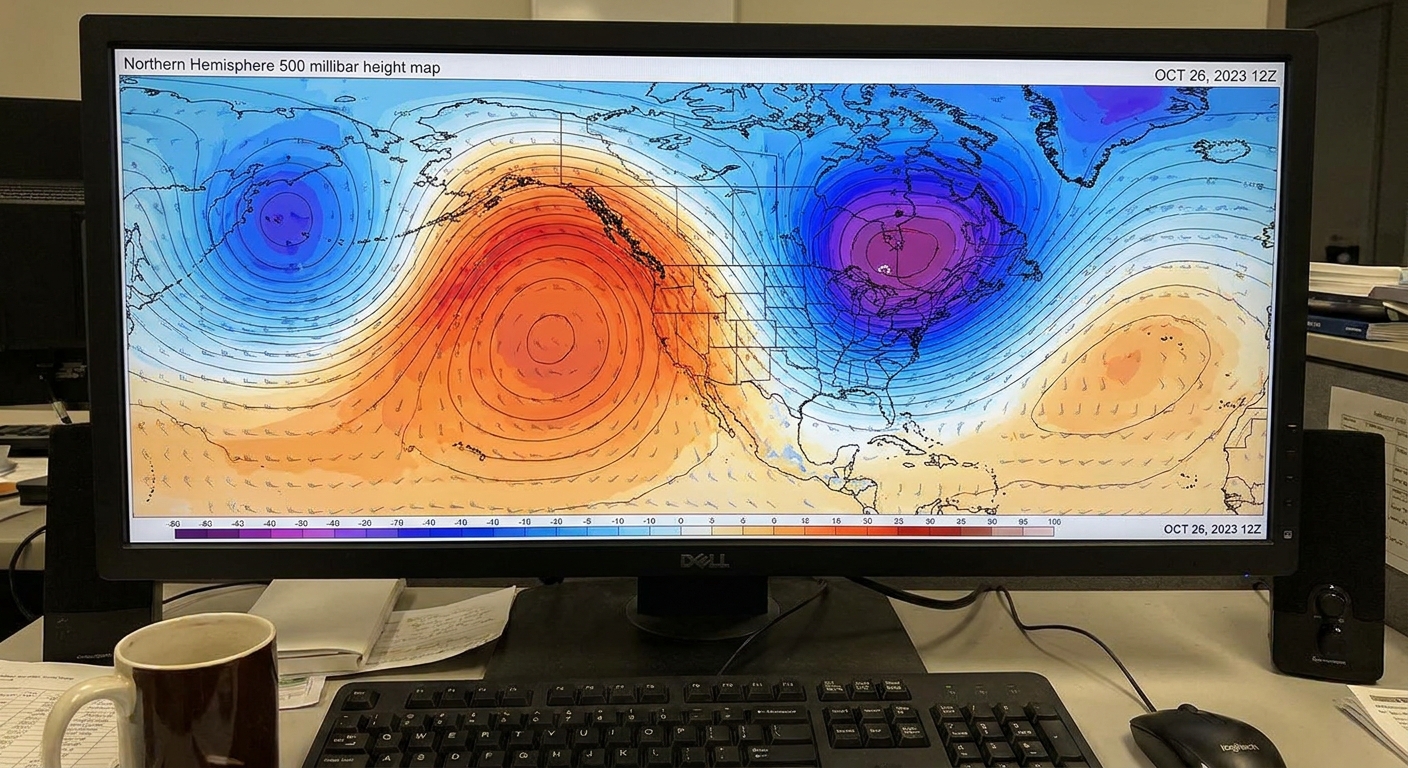
Ridges and troughs: the weather-map shorthand
When Rossby waves deform the jet stream, meteorologists often describe the pattern as:
- Ridges: northward bulges of the jet stream. Air tends to sink beneath ridges, which often favors clearer skies and warmer-than-average conditions at the surface.
- Troughs: southward dips of the jet stream. Air tends to rise ahead of troughs, which can support clouds, precipitation, and cooler-than-average conditions.
That is not a guarantee for any one day in your backyard, but it is a very good first sketch of the atmosphere’s mood.
Why Rossby waves exist at all
Rossby waves are rooted in one big fact about Earth: rotation. In a rotating frame like Earth, that rotation gives rise to the Coriolis effect, which deflects moving air to the right in the Northern Hemisphere and to the left in the Southern Hemisphere.
The key detail is that the Coriolis effect is not the same everywhere. It changes with latitude, getting stronger as you move toward the poles. That latitudinal change is called the beta effect in atmospheric science. Rossby waves are, in a sense, the atmosphere’s way of balancing and conserving spin-like properties (potential vorticity) as air is nudged north and south.
A simple way to picture it
Imagine a ribbon of fast west-to-east wind. If part of that ribbon is pushed a bit north, it enters a region where Coriolis influence is stronger. The flow adjusts and bends. If another part is pushed south, it adjusts in the opposite way. Those adjustments do not stay local. They propagate, and the end result is a traveling, evolving meander: a Rossby wave.
Rossby waves are easiest to see and most influential in the midlatitudes, where temperature contrasts between the tropics and the poles help maintain strong westerlies and jet streams.
How Rossby waves bend the jet stream
The jet stream is often described as a narrow river of fast winds high in the troposphere. Rossby waves are the big bends in that river.
In many situations, a Rossby wave pattern becomes the organizing scaffold for weather systems. Storms and surface fronts tend to move along, intensify beneath or near, or get steered around these upper-level features.
What makes the waves grow
Several ingredients can amplify Rossby waves, making ridges taller and troughs deeper:
- Strong north-south temperature contrasts (a strong baroclinic zone), which can energize the jet.
- Mountain ranges, which can force stationary wave patterns downstream, especially the Rockies and Himalayas.
- Land-sea contrasts that change heating patterns and nudge the atmosphere into preferred wave shapes.
- Tropical convection that releases heat and can send wave energy poleward, sometimes helping trigger downstream pattern changes.
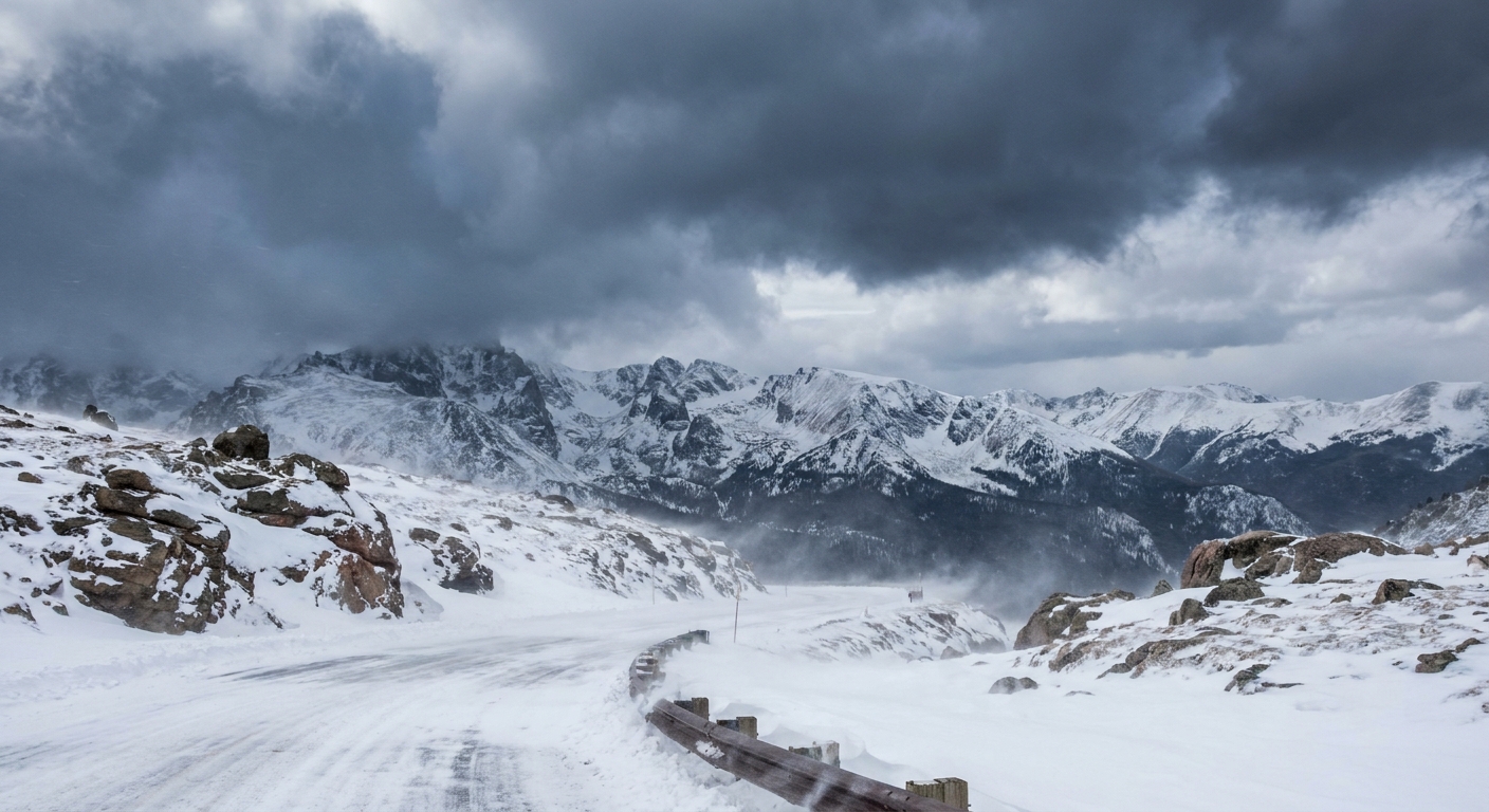
Rossby wave breaking
Waves can do more than travel and gently meander. Under some conditions, a Rossby wave can break. In the atmosphere, wave breaking is when the wave becomes so amplified that the flow deforms and overturns in a dynamical sense, with potential vorticity contours folding and stretching until air masses mix more irreversibly, rather like a surf wave toppling over.
Wave breaking matters because it can:
- Lock in patterns by creating blocking highs that slow the usual west-to-east progression of weather systems.
- Mix warm and cold air across latitudes, changing where the sharpest contrasts set up.
- Redistribute momentum and help reshape the jet stream’s path.
Blocking and stubborn weather
One of the most familiar consequences is atmospheric blocking. A blocked pattern can keep a region under the same broad regime for an extended time: prolonged warmth and dryness under a ridge, or persistent storminess and chill near a trough.
Rossby waves and the polar vortex
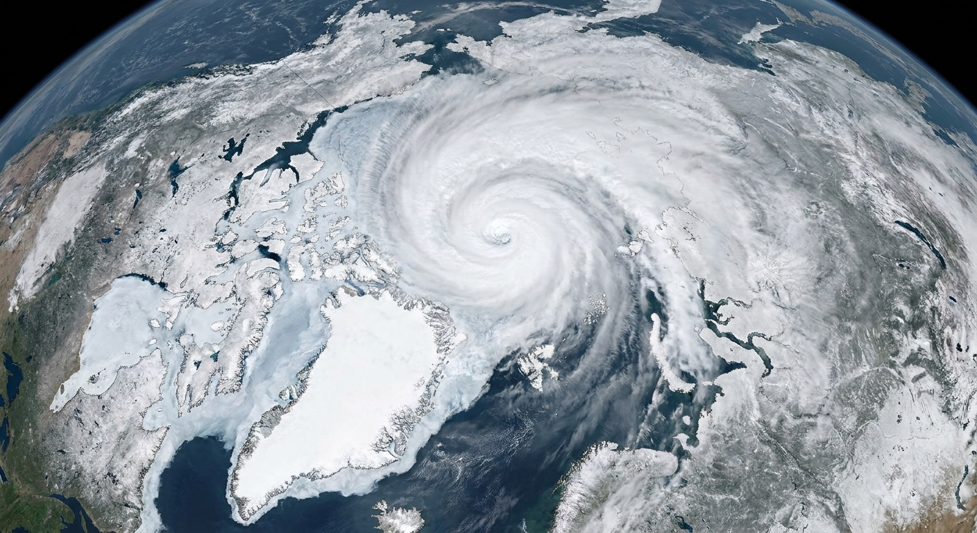
The polar vortex is a strong ring of winds that typically circles the polar region, especially noticeable in the stratosphere during winter. When the vortex is strong and relatively circular, it tends to help keep the coldest air bottled up at high latitudes.
Rossby waves provide one pathway for disturbing that arrangement. When large planetary waves in the troposphere grow and propagate upward, they can drive changes in the stratosphere by transporting heat and momentum. When that wave activity converges, it can weaken the stratospheric polar vortex or displace it from the pole. In some cases it contributes to a broader stratospheric disruption that can cascade into colder outbreaks at the surface.
From a wavy jet to cold air outbreaks
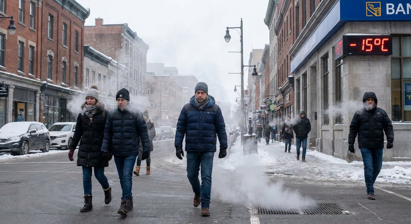
Here is the chain people often mean when they say the jet stream is letting Arctic air spill south:
- Rossby waves amplify, creating pronounced ridges and troughs.
- The trough side of the pattern allows polar air to surge toward lower latitudes.
- If the wave pattern is strong and persistent, it can support blocking and prolonged cold spells.
- In some winters, strong wave activity is also associated with a weakened or disturbed polar vortex aloft, increasing the odds that cold air intrusions become more frequent or longer-lived.
One important caveat: cold snaps do not require a dramatic polar vortex event. Plenty of cold outbreaks happen from ordinary jet stream waviness in the troposphere. The vortex connection becomes most relevant when you are looking at longer-lasting, hemisphere-scale reorganizations of the winter pattern.
Rossby waves in the ocean
The same basic physics also produces Rossby waves in the ocean, where they appear as very broad, slow undulations in sea surface height and currents. Oceanic Rossby waves typically move westward and can take months to years to cross ocean basins.
They are not the waves you surf. They are subtle height changes spread over hundreds of kilometers, but they can influence large-scale circulation, heat distribution, and how the ocean responds to winds.
Common questions
Are Rossby waves the same thing as the jet stream?
No. The jet stream is the fast wind current itself. Rossby waves are the large-scale meanders that develop within and around that current.
Do Rossby waves always cause extreme weather?
No. A modestly wavy pattern is normal. Extremes are more likely when waves become highly amplified, slow-moving, or break in a way that produces blocking.
Why do Rossby waves often move slowly?
Because they are tied to Earth’s rotation and the latitude dependence of the Coriolis effect. Their typical phase speeds are slower than the fast winds embedded in the jet, so the pattern can linger even while air races through it. In many settings, their phase also tends to drift westward relative to the mean flow, which adds to that unhurried feel on weather maps.
Can climate change affect Rossby waves?
Researchers study how changing temperature gradients, sea ice, and tropical heating patterns might influence jet stream behavior and planetary wave patterns. The details are active research, and effects can differ by season, region, and the specific metric used. What is clear is that Rossby waves are central to how the atmosphere turns large-scale energy imbalances into the day-to-day weather we experience.
The takeaway
Rossby waves are the atmosphere’s big bends, born from Earth’s rotation and the fact that the Coriolis effect changes with latitude. They sculpt the jet stream into ridges and troughs, steer storms, and sometimes break in ways that lock weather patterns in place. When planetary wave activity is strong enough, it can even help disturb the polar vortex and make cold air excursions farther south more likely.
In other words: when the jet stream looks like it is doodling across the hemisphere, Rossby waves are often the pen.