Curiosity, with all its quills showing.
If you have ever heard a forecaster say something like “the MJO is active” and wondered why a pulse of storms near the equator should matter to weather thousands of miles away, pull up a chair. The Madden-Julian Oscillation, or MJO, is one of the atmosphere’s favorite ways to organize tropical rainfall on week-to-week timescales. And because the tropics are a major engine for heat and moisture, that organization can echo into the midlatitudes, sometimes nudging the odds of atmospheric rivers in the week 2 to week 4 window.
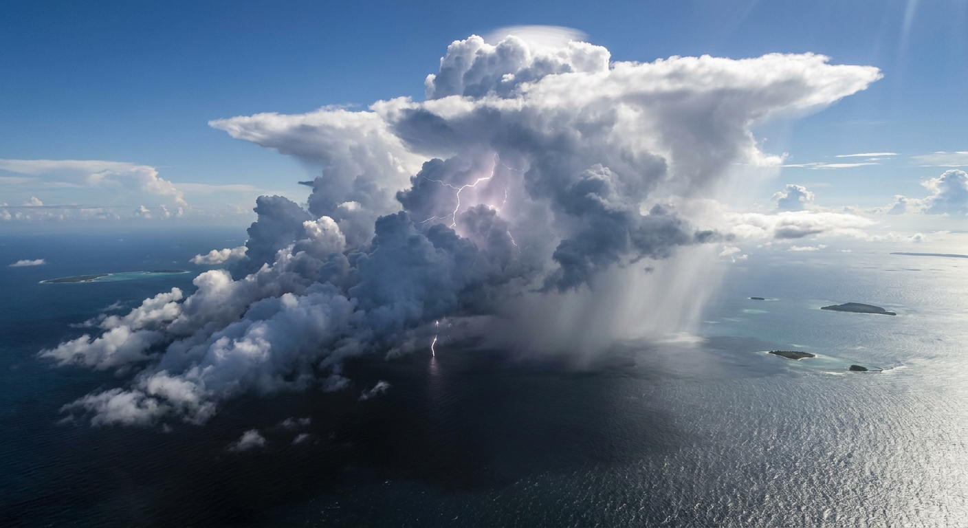
The short definition
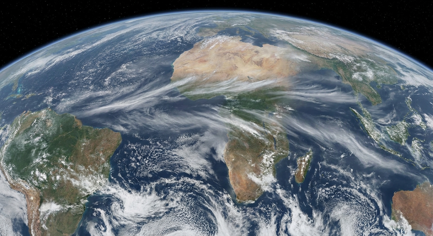
The Madden-Julian Oscillation is an eastward-moving pulse of enhanced and suppressed tropical rainfall that travels around the globe, mainly near the equator, typically taking about 30 to 60 days to complete a circuit.
It is not a single storm and not a permanent belt of rain. Think of it as a moving “busy zone” for tropical thunderstorms, followed by a moving “quiet zone.” Those zones migrate eastward from the Indian Ocean across the Maritime Continent (Indonesia and nearby seas), into the Pacific, and onward.
What it is physically
The MJO is a coupled pattern of:
- Convection: clusters of thunderstorms and deep clouds that release heat high in the troposphere when water vapor condenses into rain.
- Circulation: broad, gentle wind anomalies that accompany that heating, including changes in low-level convergence (air piling in) and upper-level divergence (air spreading out).
- Moisture: a moving envelope of higher humidity that makes it easier for storms to keep firing, plus a trailing region of relative dryness that makes storms less likely.
That released heat is the key. Tropical thunderstorms act like a giant space heater for the atmosphere. When that heating is organized over a large area for weeks, it can reshape wind patterns far away through atmospheric waves and shifting jet stream tendencies.
Why it moves east
The MJO is “intraseasonal,” meaning it sits between day-to-day weather and seasonal climate (roughly 2 to 8 weeks). It is slower than most weather systems because it depends on big, slowly evolving ingredients: how moist the lower atmosphere is, how sea surface temperatures and evaporation supply water vapor, and how the atmosphere’s large-scale circulation supports or suppresses convection.
Its eastward motion is tied to the way tropical convection interacts with winds and moisture. In a simplified sense, the active region helps precondition the atmosphere just to its east, making it easier for the next burst of storms to blossom there. The result is a migrating envelope rather than a stationary blob.
Phases 1 to 8
Forecasters often track the MJO using an index that summarizes where the strongest tropical convection anomalies are located. The globe is divided into eight longitudinal slices, called phases 1 through 8. Each phase corresponds to the MJO’s active (stormier) signal being centered over a different region.
One important caveat: phase-region maps differ slightly by agency (for example, NOAA CPC vs the Australian Bureau of Meteorology), so treat the phase labels as useful guideposts, not survey stakes.
A common way to interpret the phases
- Phase 1: western Indian Ocean
- Phase 2: central Indian Ocean
- Phase 3: eastern Indian Ocean
- Phase 4: Maritime Continent (Indonesia region)
- Phase 5: western Pacific
- Phase 6: central Pacific
- Phase 7: eastern Pacific
- Phase 8: Western Hemisphere and Africa
Two quick notes that save a lot of confusion:
- The numbering is a location label, not a strength score. Phase 5 is not “bigger” than Phase 2. It is simply farther east.
- Strength matters. Many plots show an “amplitude” that indicates whether the MJO signal is strong and well-organized or weak and noisy. On the commonly used RMM (Real-time Multivariate MJO) phase-space diagram, amplitude around 1 or higher is often treated as a more coherent, trackable event, while values below that are typically considered weak.
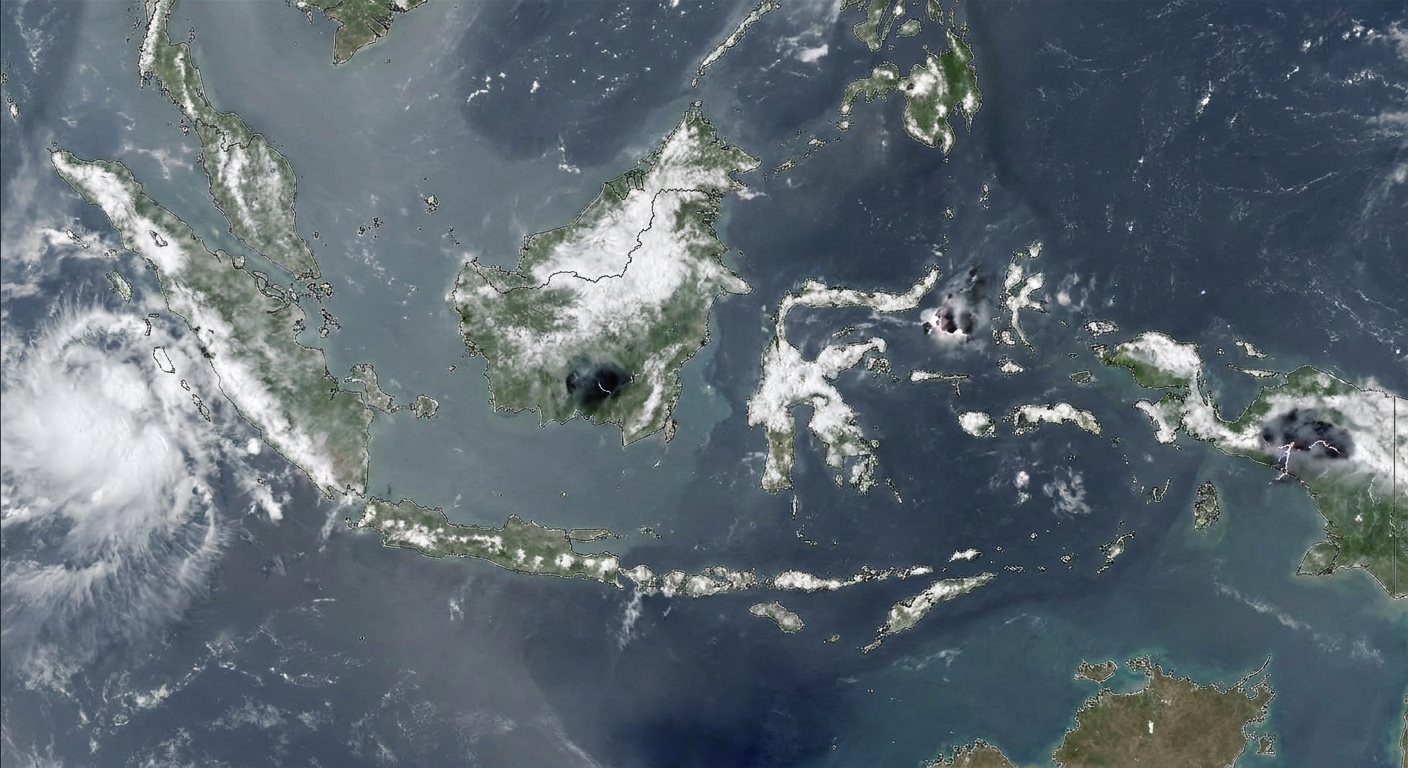
Active vs suppressed
When people say the MJO is “active,” they mean its convective signal is strong enough to clearly enhance thunderstorm activity over a region. That active region is typically paired with a suppressed region elsewhere, where convection is less frequent and the air tends to be drier and more stable.
These two halves matter because they can change where tropical cyclones are more likely to develop, where heavy rain risks rise, and where the tropical atmosphere is sending stronger heat signals to the rest of the planet.
MJO and atmospheric rivers
An atmospheric river is a long, narrow corridor of strong water vapor transport, often embedded in midlatitude storms. The MJO does not create an atmospheric river directly like flipping a switch, but it can tilt the background odds by organizing tropical convection and, with it, the large-scale flow patterns that steer storms and moisture plumes.
One useful chain of events
- Step 1: Tropical convection intensifies in the MJO active phase over a particular ocean basin.
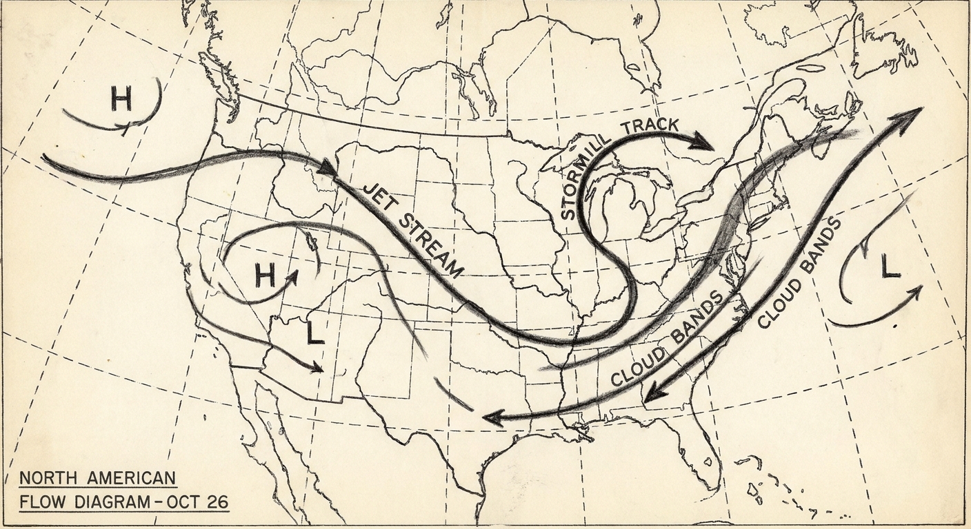
- Step 2: Thunderstorm heating alters the upper-level wind field and launches wave patterns that can travel into the midlatitudes.
- Step 3: The jet stream adjusts, sometimes favoring storm-track shifts or a stronger Pacific jet that better supports cyclones.
- Step 4: Moisture transport corridors sharpen, increasing the odds that a future storm taps a concentrated plume of water vapor aimed at the coast.
In plain terms: when the tropics arrange their thunderstorms into a coherent weeks-long pulse, the midlatitudes can respond. In some phase and season combinations, that response can make atmospheric-river setups more likely over parts of the West Coast, while other combinations can do the opposite.
A carefully worded example: in boreal winter, certain MJO phases are statistically associated with a more energized or shifted Pacific jet, which can raise atmospheric-river odds for parts of the U.S. West Coast in the week 2 to week 4 window. It is still a probability game, and the exact outcome depends on the broader climate background, including El Niño or La Niña conditions.
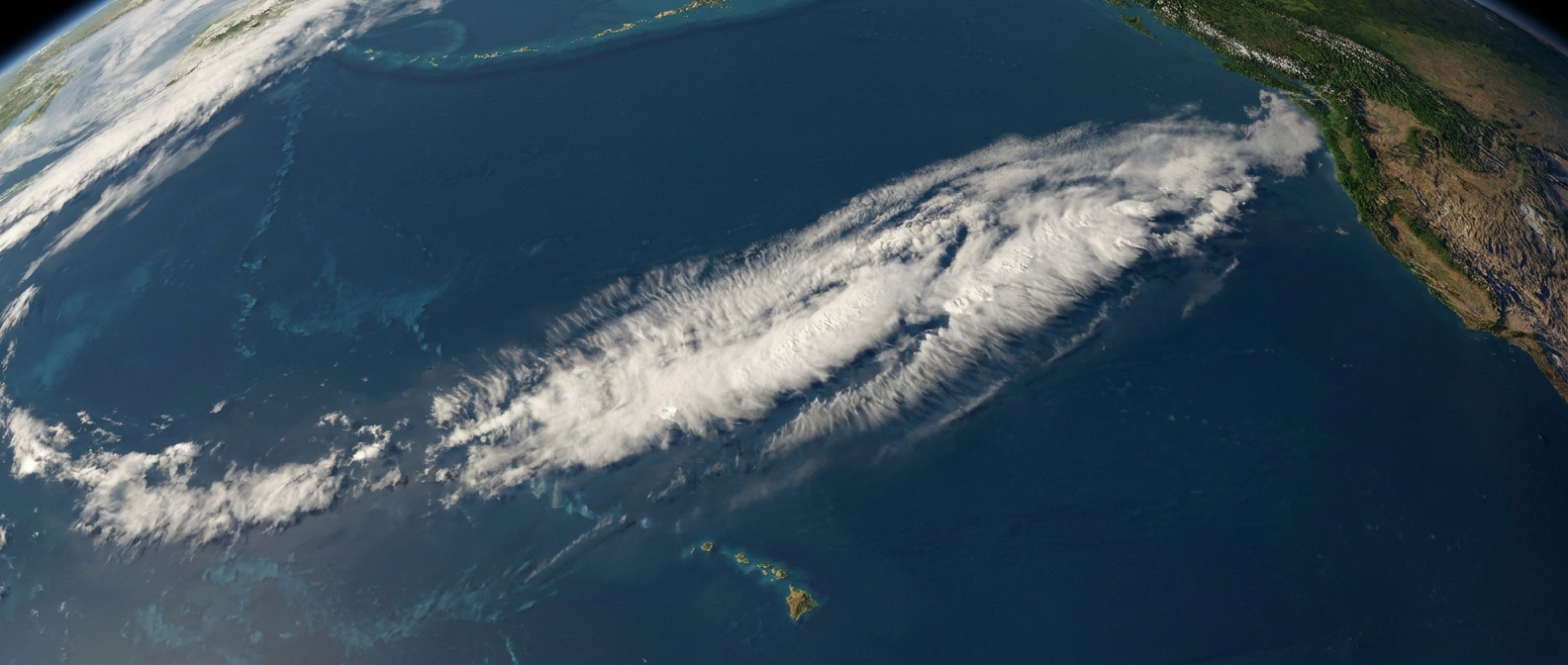
The Maritime Continent hurdle
If you ever notice the MJO looking strong over the Indian Ocean and then getting messy near Indonesia, you are not imagining things. Forecast skill often drops as the signal crosses the Maritime Continent, sometimes called the Maritime Continent barrier. The geography there is a maze of islands, mountains, and warm seas, and the day-to-day storm cycle can interfere with the MJO’s larger, smoother pulse.
This is one reason MJO-based “week 3” confidence can look great on paper and then wobble in real life.
What it is not
- Not El Niño: El Niño is an ocean-atmosphere pattern that evolves over months to seasons across the tropical Pacific. The MJO is faster, measured in weeks, and can occur regardless of El Niño status.
- Not a monsoon: Monsoons are seasonal wind and rainfall reversals tied to land-sea heating contrasts. The MJO can modulate monsoon “bursts” and “breaks,” but it is not the same phenomenon.
- Not a guarantee: A strong MJO phase can raise or lower the odds of certain downstream patterns, but it does not dictate your local forecast all by itself.
Why forecasters watch it
The MJO sits in a sweet spot for prediction. It is often more predictable than day-to-day storms, but more immediately relevant than slow seasonal trends. When the MJO is strong and moving coherently, it can improve confidence in certain week 2 to week 4 tendencies, especially across the Pacific basin.
It is also one of the reasons you may see forecast discussions mention “teleconnections,” meaning far-field links between tropical heating and midlatitude circulation patterns.
How to follow it
- Check the RMM phase and amplitude on updates from NOAA’s Climate Prediction Center or the Australian Bureau of Meteorology.
- Use it as context, not a promise. A strong, clean signal can support certain week-ahead pattern ideas, but your day-to-day weather still hinges on the next few synoptic storms and fronts.
- Be extra cautious near Phase 4. That is where the signal often degrades as it crosses the Maritime Continent.
FAQ
How long does the MJO last?
An individual MJO event, meaning a coherent active-suppressed pulse, often persists for several weeks and can circle the globe in roughly 30 to 60 days. Some events stall, weaken, or fade out earlier.
Does the MJO cause extreme weather?
It can influence the odds of extremes by favoring or discouraging certain large-scale setups. For example, in some seasons and regions, an active MJO phase can align the jet stream and storm track in ways that make heavy rain events more likely. But extremes still require the right local ingredients and storm-to-storm evolution.
Can the MJO affect hurricanes and tropical cyclones?
Yes. The active phase tends to increase thunderstorm organization, humidity, and favorable wind patterns in some basins, which can support tropical cyclone formation. The suppressed phase can make development less likely.
What does “MJO Phase 6” mean in a forecast?
It usually means the index places the MJO’s enhanced convection signal over the central Pacific region (using a common phase map), and that the signal is strong enough to track. Forecasters then consider historical and model-based relationships between that tropical forcing and midlatitude patterns in the weeks ahead.
Is the MJO always present?
No. Sometimes the tropics are noisy and disorganized, and the MJO index stays weak. At other times, a clear pulse emerges and becomes a major player in subseasonal forecasting.
A quick way to remember it
If El Niño is a slowly shifting ocean backdrop and an atmospheric river is a focused corridor of vapor transport on a given day, the MJO is the week-to-week tropical drummer that can set the tempo. It marches east around the equator, numbered in phases, and when it plays loudly enough, weather patterns far from the tropics often start keeping time with it.