Curiosity, with all its quills showing.
Some weather systems behave like passersby. They sweep through, change the sky for a day, and move on. Others settle in like they have claimed the couch. One of the best-known patterns behind that stuck-in-place feeling is called an omega block, named for the way the jet stream can bend into a shape that resembles the Greek letter Ω.
Omega block, explained
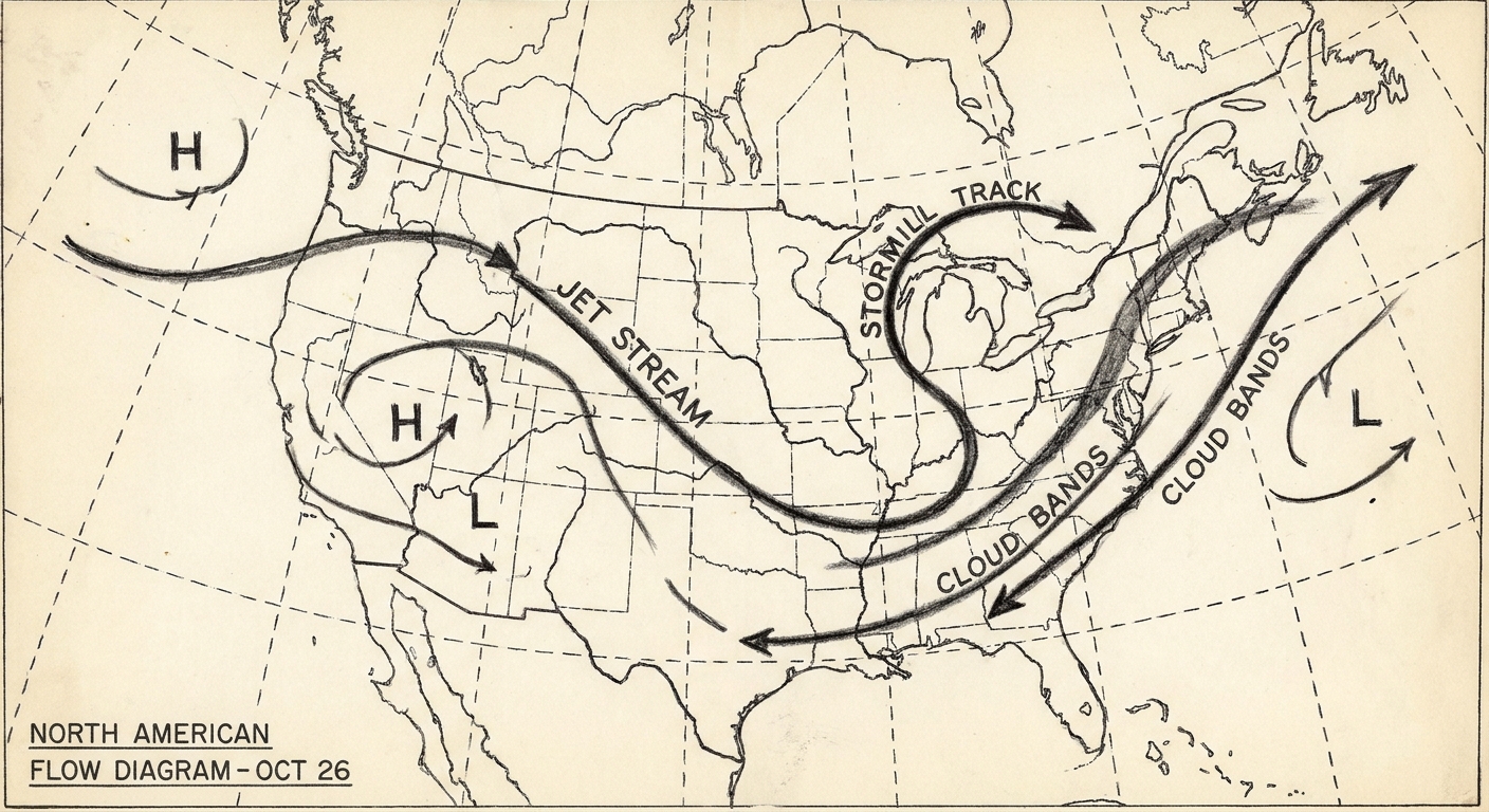
An omega block is a large-scale pattern in the mid to upper atmosphere where the jet stream forms a pronounced northward bulge (a ridge) sandwiched between two southward dips (troughs). On upper-air weather maps, that ridge-and-trough arrangement can look like Ω.
The classic setup includes:
- A strong ridge aloft in the middle, often associated with sinking air and relatively calmer, more stable conditions.
- Two troughs or closed lows aloft on either side, often associated with rising air, clouds, storms, and unsettled weather (and often accompanied by surface lows, though not always in a tidy, continuous way).
- A slowed or stalled flow in the jet stream that makes the whole pattern move eastward very slowly.
The word block is doing real work here. In atmospheric science, “blocking” refers to patterns that disrupt the usual west-to-east progression of weather systems in the mid-latitudes, forcing storms to detour or linger.
Why it can last for days
In everyday terms, an omega block is persistent because the atmosphere gets into a configuration that is hard to unwind. The ridge in the middle and the two troughs on the sides can reinforce one another, creating a kind of traffic jam in the upper-level flow.
The jet stream slows and meanders
The jet stream is not a fixed river of air. It wiggles. When those wiggles amplify, the north-south swings can become large. In an omega block, the swings become arranged in a way that reduces the eastward push that normally carries weather along.
Upper-level features can cut off
Sometimes the lows on either side become partially separated from the main mid-latitude westerlies and jet. Meteorologists often call these cutoff lows when they detach from the faster steering flow. Cutoff lows are notorious for lingering, which helps the whole blocked pattern persist.
Feedbacks at the surface
Surface conditions can also help maintain the pattern. For example, prolonged clear skies under a ridge can dry soils and increase heating at the surface, which can sometimes amplify warmth beneath the ridge. The details vary by season and region, but the theme is the same: a stable large-scale pattern can become self-reinforcing for a time.
What an omega block does to weather
The hallmark of an omega block is persistence. The specific impacts depend on where you sit relative to the ridge and the two troughs.
Under the ridge: heat, drought, and stagnant air
In the middle of the Ω, air tends to sink. Sinking air discourages cloud formation and can allow sunlight to do its work all day. In warm seasons, that can mean multi-day heat, sometimes escalating into a heat wave. If the ridge stays put long enough, it can also contribute to drying soils and worsening drought.
Stagnant conditions under a strong ridge can also reduce ventilation near the surface. That matters for air quality, especially during wildfire smoke events or urban pollution episodes, because pollutants can build up when winds are light.
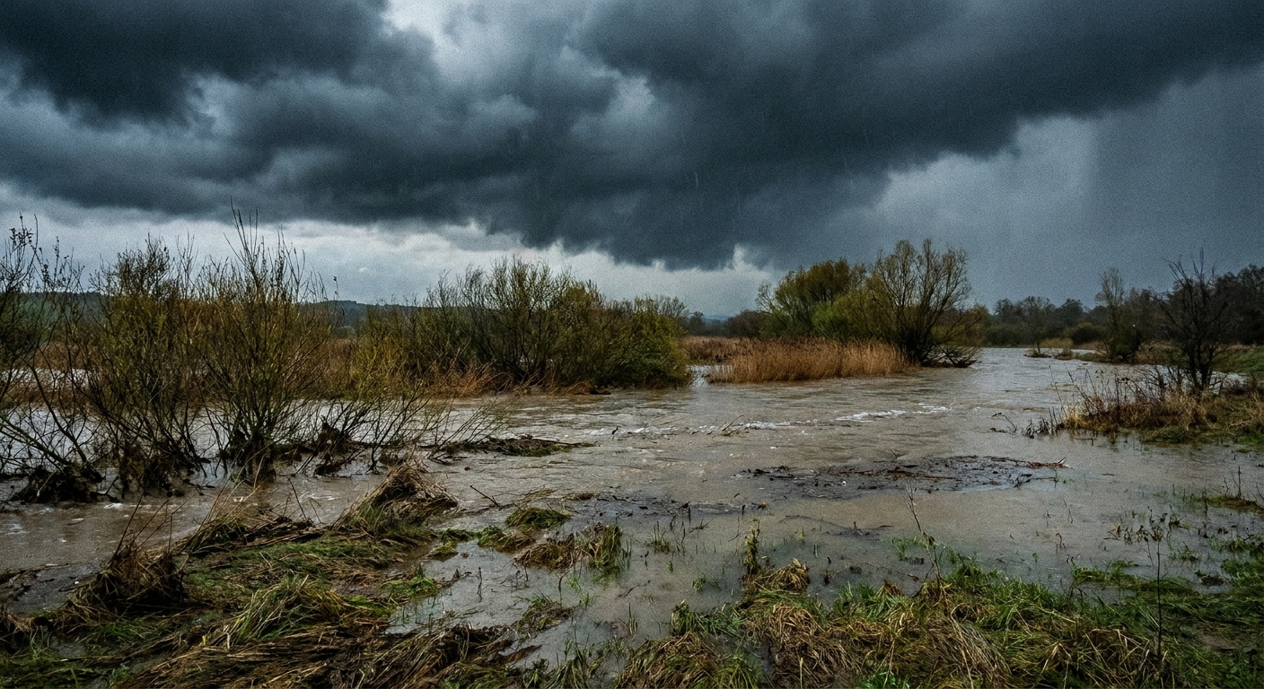
Near the troughs: repeated storms and heavy rain
On either side of the ridge, the troughs and associated disturbances can keep steering moisture and lift into the same areas. The result can be:
- Repeated rounds of thunderstorms
- Slow-moving rain bands
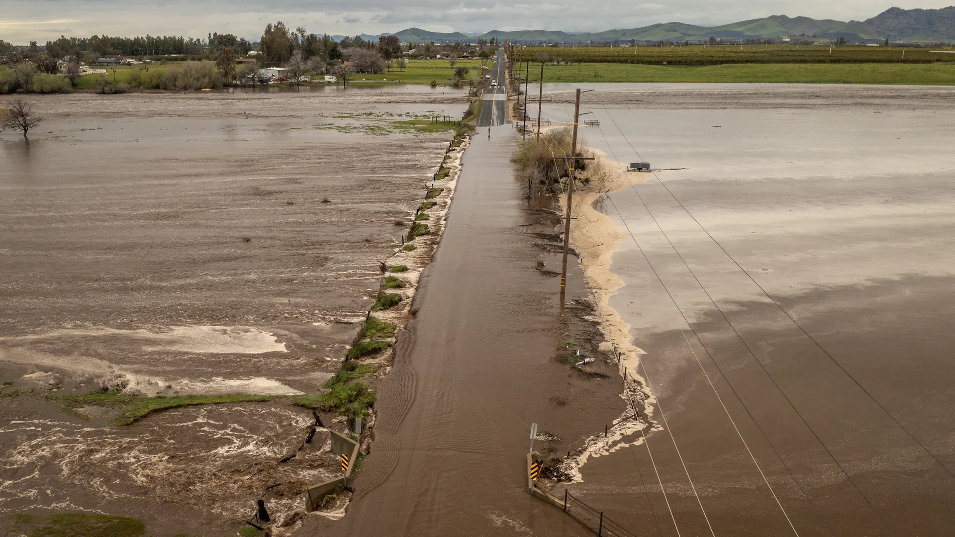
- Flooding, especially when storms “train” over the same corridor
One of the most important hazards here is not necessarily a single extreme downpour, but accumulation over multiple days because the steering pattern is stuck.
On the cold side: prolonged chill or late-season snow
Omega blocks are not just a warm-season story. If one of the flanking troughs taps colder air, it can keep a region locked in below-normal temperatures for days, sometimes with persistent clouds, wind, and intermittent precipitation. In transitional seasons, that can include late frosts or snow at higher elevations.
How forecasters spot an omega block
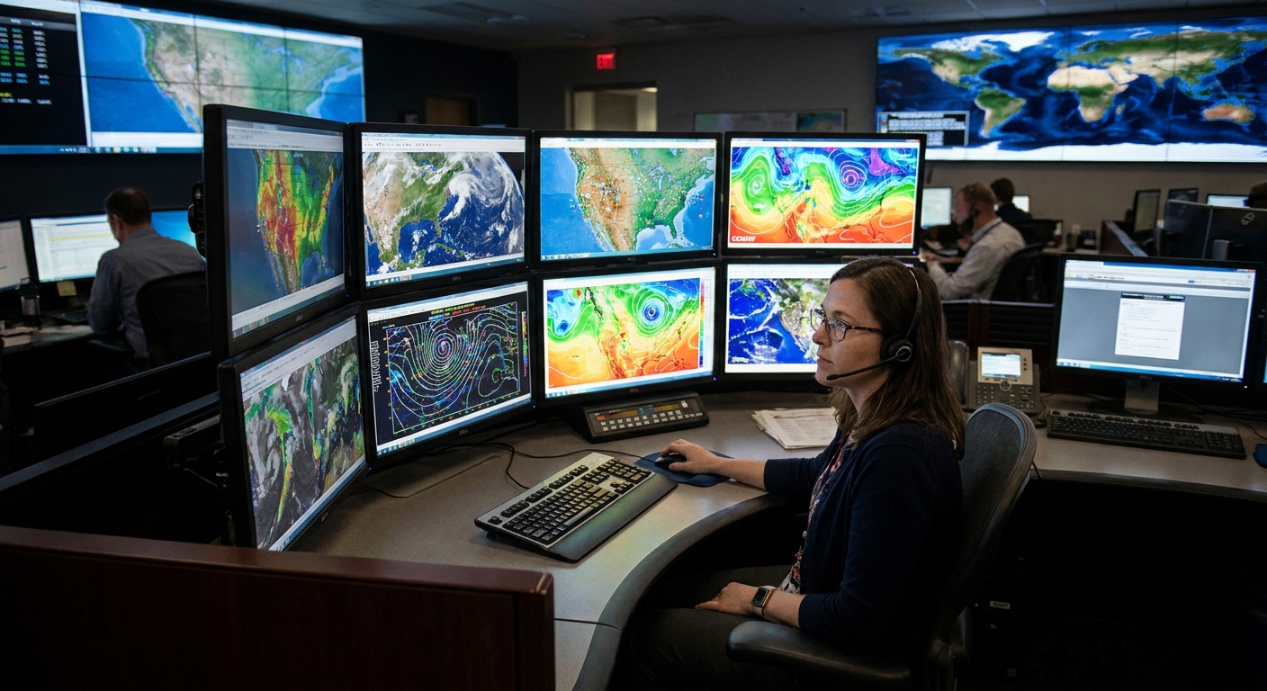
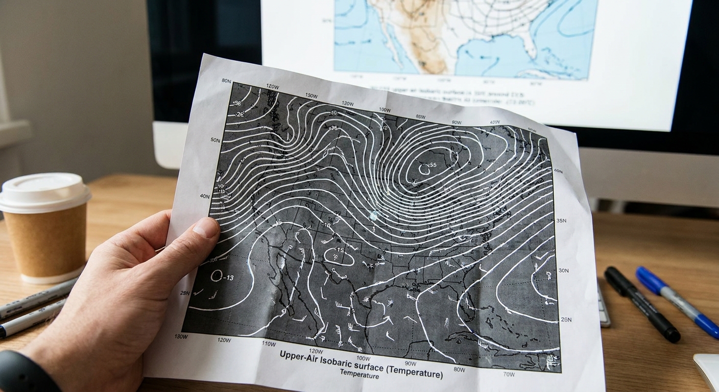
Because omega blocks are features of the mid to upper atmosphere, meteorologists diagnose them using upper-air charts and related fields rather than only surface pressure maps.
500 mb height maps
The workhorse for identifying blocking patterns is the 500 millibar (500 mb) geopotential height chart, which maps the height of a pressure surface several kilometers above the ground. It is not a physical surface you could stand on, but the pattern of heights reflects how air mass and temperature are distributed aloft and it is closely tied to the steering flow that guides weather systems.
On these maps, an omega block often appears as:
- A tall ridge in the center, with closed or tightly packed height contours
- Two troughs on either side, sometimes with closed lows
- A slow evolution from one model run to the next, with the pattern barely shifting
If you have ever seen a 500 mb map with a big “bubble” of higher heights pushing northward between two dips, you have likely seen the skeleton of an omega block.
Jet-level winds (around 300 mb)
Another useful view is the wind field near the jet stream level, often around 300 mb. In a blocked pattern, the strongest winds may split and wrap around the ridge, with weaker flow in the blocked region itself. Strong steering winds usually help weather systems move along. Weak steering winds help them linger.
Potential vorticity and cutoff structure
In more technical analyses, meteorologists may inspect potential vorticity fields to see whether the flanking lows are becoming cut off from the main flow aloft. You do not need this layer to recognize an omega block, but it helps explain why some blocks are especially stubborn.
Where omega blocks show up
Omega blocks are most often discussed in the mid-latitudes, where the jet stream is a frequent architect of day-to-day weather. They can occur in either hemisphere, and the impacts still depend on your position relative to the ridge and the flanking troughs.
Omega block vs. heat dome
You will sometimes hear an omega block discussed in the same breath as a heat dome. They are related, but not identical.
- A heat dome describes the hot-weather outcome of a strong, persistent ridge. It is about the impacts at the surface: heat building and sticking around.
- An omega block describes a broader jet-stream configuration: ridge in the middle, troughs on both sides, and a blocked flow that can lock in heat, cold, or heavy rain.
In other words, a heat dome can occur within an omega block, especially under the central ridge in summer. But an omega block can also produce prolonged wet or cool conditions if you are positioned under one of the flanking lows.
How long do omega blocks last?
There is no single clock that all omega blocks follow, but their defining trait is that they persist longer than the usual parade of weather systems. Many last several days, and some can linger for a week or more, depending on how the pattern interacts with other large-scale waves in the atmosphere.
Instead of looking for one dramatic change, forecasters look for:
- Little eastward movement of the ridge and troughs from day to day
- Consistent model agreement that the pattern remains amplified
- Reinforcing upstream waves that keep feeding the block
Why omega blocks matter
Extremes are often less about one dramatic moment and more about duration. An omega block is a duration engine. It can:
- Turn a hot spell into a dangerous heat wave by extending it
- Turn a wet pattern into a flood risk by repeating storms over the same watershed
- Turn a cold outbreak into an extended chill that stresses energy systems and agriculture
That is why you will hear meteorologists emphasize “pattern” as much as “storm.” The pattern sets the stage for what can repeat, linger, and compound.
FAQ
Is an omega block the same as blocking?
An omega block is one type of atmospheric blocking pattern. “Blocking” is the broader category, describing any configuration that slows or disrupts the typical west-to-east flow for an extended period. Omega blocks are among the most recognizable because of their Ω-like shape.
Can an omega block cause tornadoes?
It can contribute indirectly. If one flank of the block repeatedly brings warm, humid air into contact with stronger winds aloft and lifting mechanisms, severe thunderstorms can occur, including tornadoes in the right ingredients. But tornado formation depends on local instability and wind shear, not the omega shape by itself.
Does climate change affect omega blocks?
Researchers are actively studying how a warming climate may influence large-scale circulation patterns, including persistence. The careful, evidence-based takeaway is that thermodynamics are changing clearly (warmer air holds more water vapor, heat extremes start from a higher baseline), while changes in blocking behavior are an area of ongoing research with active debate and regional nuance. For day-to-day forecasting, what matters most is recognizing when a block is present and anticipating its impacts.
How can I tell if my region is in the ridge or the trough?
On a 500 mb map, look at where you are relative to the big northward bulge. If you are under the center of that bulge, you are in the ridge. If you are under one of the southward dips on either side, you are in a trough. If you only have surface maps, clues include persistent high pressure and fair skies in the ridge region, versus repeated lows, clouds, and precipitation near the troughs.
The quick takeaway
An omega block is an Ω-shaped jet-stream pattern with a strong ridge aloft wedged between two troughs or closed lows aloft. Its superpower is persistence: by slowing the usual atmospheric traffic, it can hold heat, cold, or heavy rain over the same places for days. Forecasters spot it most clearly on upper-air maps, especially 500 mb height charts, where the omega shape shows up in the contours.