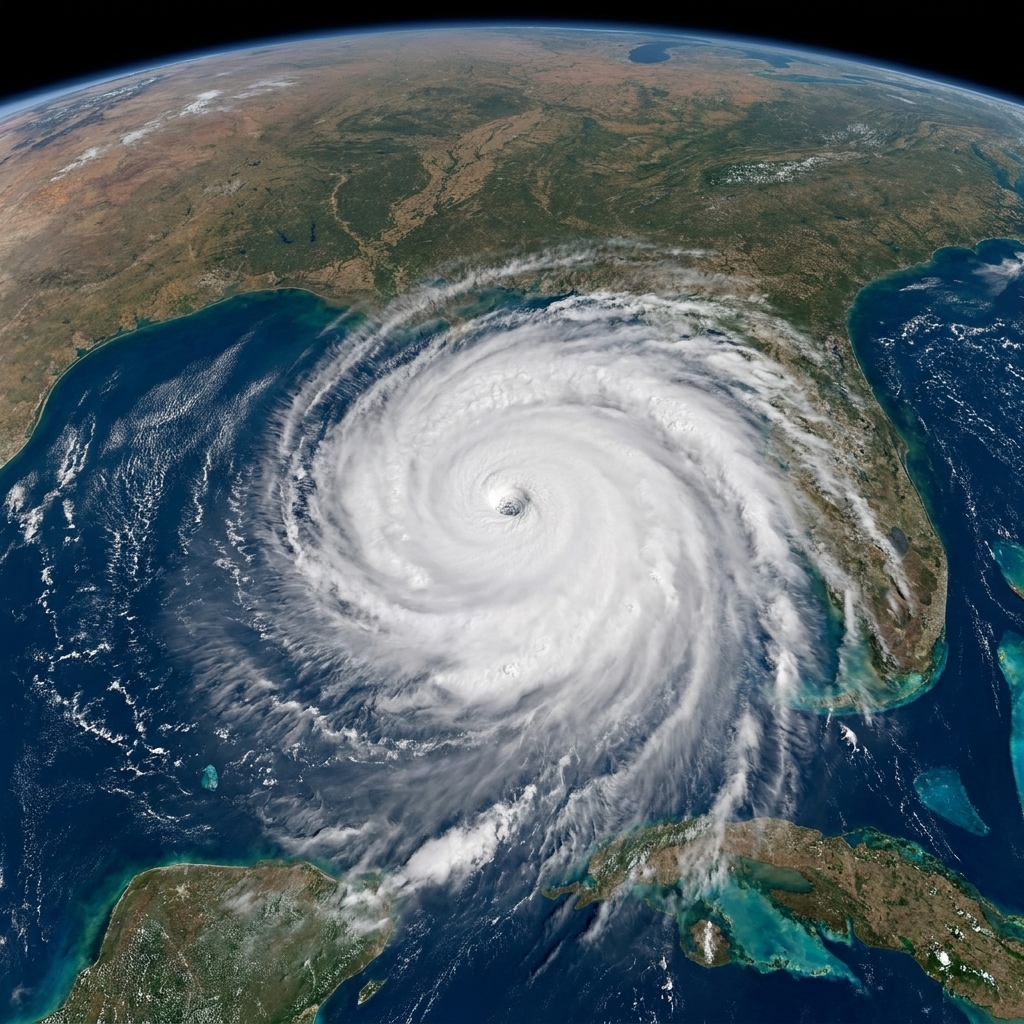
I used to tell my physics students that Earth’s atmosphere is like a layered cake that refuses to sit still. Some days it looks calm from the outside, but up high it is constantly stirring, spinning, and swapping energy. The polar vortex is one of the biggest, most misunderstood swirls in that cake. It is real, it matters, and it is not a synonym for “any cold day in winter.”
Let’s sort out what the polar vortex actually is, where it lives, how it can get disrupted, and how that disruption can tilt the odds toward cold snaps farther south without being the cause of every winter storm you have ever shoveled.
The polar vortex, defined
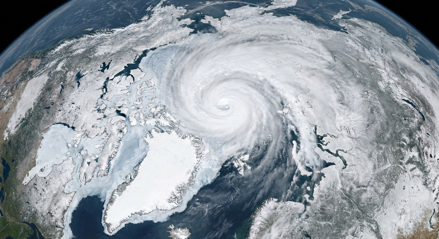
The stratospheric polar vortex is a large, persistent circulation of winds that forms high above the Arctic (and also above Antarctica in the Southern Hemisphere). Think of it as a ring of strong westerly winds that tends to encircle cold air near the pole during each hemisphere’s winter.
Key points that keep the definition honest:
- It is seasonal. It strengthens in fall and winter when the polar region receives little to no sunlight and cools rapidly.
- It is high up. The stratospheric polar vortex lives mainly in the stratosphere, roughly 10 to 50 kilometers (about 6 to 30 miles) above the ground, and at times it extends higher into the upper stratosphere and lower mesosphere.
- It is a wind pattern, not a blob of air. We talk about “the vortex” like it is an object, but it is really a structure in the wind field. The cold air is associated with it, but the vortex itself is the circulation that helps contain that cold.
When the vortex is strong and fairly circular, it acts like a sturdy fence around the coldest Arctic air. When it weakens or gets distorted, that fence can become leaky.
Where confusion starts
Most day-to-day weather happens in the troposphere, the lowest layer of the atmosphere where we live. The troposphere extends from the surface up to about 8 to 15 kilometers (5 to 9 miles), depending on latitude and season.
The stratosphere sits above that. It is drier, more stable, and rarely where your local snowstorm is born. This is why polar vortex headlines can be confusing: they often refer to a stratospheric feature, while the cold you feel is a tropospheric event.
So what is the jet stream?
The jet stream is a band of strong winds in the upper troposphere. It helps steer storm systems and separates relatively warm and cold air masses. On forecast maps, the jet stream often appears as a wavy river of wind.
Here is the clean separation that helps when you are looking at weather graphics:
- Polar vortex (stratosphere): a wintertime circulation centered near the pole, higher altitude, longer time scales.
- Jet stream (troposphere): a wind current that guides storms and day-to-day weather, lower altitude, shorter time scales.
They are distinct, but they can influence each other. Sometimes what happens in the stratosphere can “work its way down” and nudge the jet stream into patterns that favor cold air outbreaks.
Wait, is there also a tropospheric “polar vortex”?
Yes, and this is part of the terminology mess. Meteorologists sometimes use “polar vortex” more loosely to describe a cold-core circulation in the upper troposphere, especially on weather maps that show a broad wintertime swirl around the pole.
In this article, when I say polar vortex, I mean the big, wintertime stratospheric circulation unless I explicitly say “tropospheric.”
How disruption can send cold south
The headline-grabbing scenario usually involves something called a sudden stratospheric warming, often shortened to SSW. Despite the name, it does not mean the whole planet is warming overnight. It means the stratosphere over the polar region can warm dramatically over a short period, and that can weaken the polar vortex and, in major events, reverse the usual west-to-east winds in the mid to upper stratosphere (often diagnosed near levels like 10 hPa).
What triggers a sudden stratospheric warming?
One common ingredient is the upward push of large atmospheric waves from the troposphere. These are often called planetary waves or Rossby waves. You can picture them as giant undulations in the atmosphere that are strongly shaped by things like mountain ranges and the north to south temperature gradient between the tropics and the pole (with land and ocean patterns influencing that setup indirectly through heating contrasts). When these waves propagate upward and break in the stratosphere, they can dump momentum and energy into the polar region and disrupt the vortex.
What happens after the vortex is disrupted?
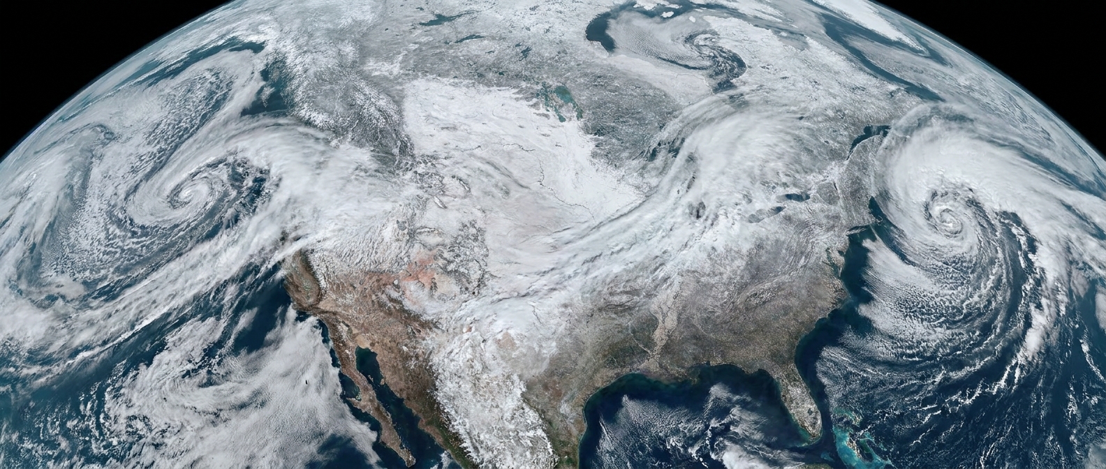
When the stratospheric vortex weakens, it can become stretched, displaced off the pole, or split into multiple smaller vortices. If the stratospheric changes couple downward into the troposphere, the jet stream can become wavier or shift position in ways that increase the chance of Arctic air spilling south into North America, Europe, or Asia.
How long does it take to matter at the surface?
This is the part many headlines skip. Even when an SSW is real and dramatic, surface impacts are not instant. If downward coupling happens, it is often most noticeable days to a few weeks later. A common signpost in that window is a shift toward the negative phase of indices like the Arctic Oscillation (AO) or, in the North Atlantic sector, the North Atlantic Oscillation (NAO). Those patterns can favor more meanders in the jet stream and more opportunities for cold air outbreaks in some mid-latitude regions.
A careful way to say it is:
- A disrupted stratospheric vortex can increase the odds of certain winter patterns that favor cold outbreaks in the mid-latitudes.
- It does not guarantee a cold snap in any particular city or week.
Weather is still weather. Even with a disrupted vortex, local impacts depend on where the jet stream sets up, where blocking high pressure forms, ocean conditions, and timing.
Not the same as a cold front
Cold fronts are everyday features of the troposphere. They happen when a mass of colder air advances and lifts warmer air, often triggering precipitation. You can have cold fronts all winter long without any notable stratospheric vortex disruption.
When you see “polar vortex” in the news, it can mean different things depending on how the term is being used:
- Accurate use: referring to the stratospheric polar vortex and its strength, shape, or disruption.
- Loose use: using “polar vortex” as shorthand for “Arctic air is reaching us.” That can happen with or without a stratospheric event.
If you want to sanity-check a claim, ask: Are they talking about stratospheric conditions (roughly 10 to 50 km up, sometimes higher) or the jet stream in the troposphere (roughly 8 to 15 km up)? Those are different maps, different dynamics, and different time scales.
How to read forecast maps
Forecast products vary, but these tips help you connect a polar vortex story to what you see on weather graphics:
1) Check the layer
- Jet stream maps often show winds near the top of the troposphere, sometimes labeled around 250 mb.
- Stratospheric vortex maps may show higher levels like 10 mb or 30 mb, and they often focus on the Arctic.
2) Look at the flow shape
A more circular, centered circulation aloft often corresponds to a more stable setup. A stretched, lopsided, or split structure suggests disruption. In the troposphere, a very wavy jet stream can open pathways for cold air to dive south and warm air to surge north elsewhere.
3) Remember surface cold is about air masses
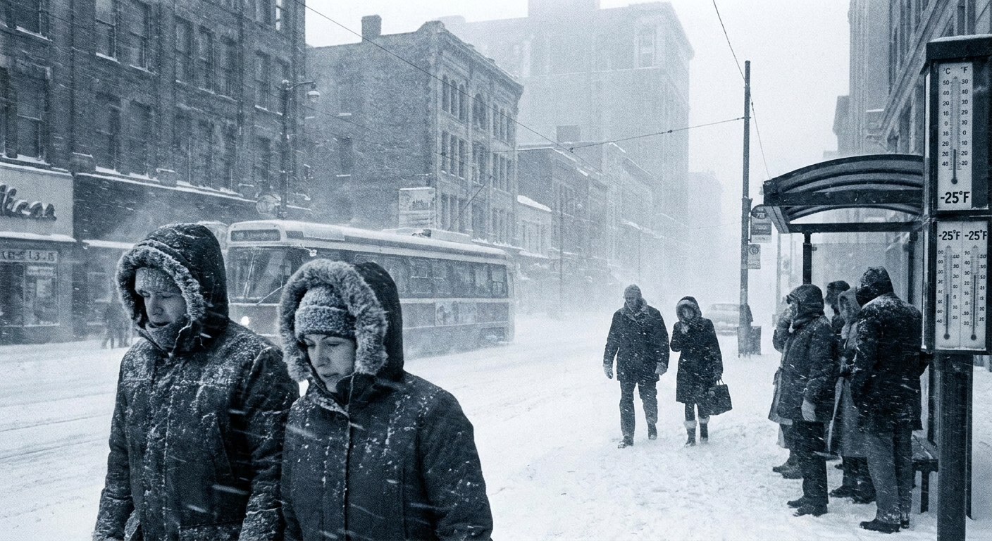
A city gets a deep freeze when a cold air mass is transported into place and then lingers. Snow cover, nighttime skies, and local pressure systems can intensify the chill, even if the broader pattern is only moderately supportive.
What it means for climate
This is where it is easy to slide from weather into climate arguments that do not quite fit the evidence.
What it does tell us
- The atmosphere is variable. The polar vortex naturally strengthens, weakens, and sometimes undergoes dramatic events.
- Extreme cold outbreaks can still happen even in a warming world. Climate change shifts averages and odds, but it does not erase winter.
- Scientists can track these events and study how often they occur, how they couple to the troposphere, and how their impacts show up in temperature and storm statistics.
What it does not tell us, by itself
- It does not “disprove” global warming. A cold week in one region is not a global, long-term trend.
- It does not automatically “prove” climate change either. One disruption is not enough to attribute a specific cold snap to long-term warming without formal attribution analysis.
The responsible climate question is not “Did climate change cause this one vortex event?” It is closer to: How are the frequencies, intensities, and impacts of these patterns changing over decades, and what mechanisms explain that change? That takes long records, careful statistics, and multiple lines of evidence.
Quick answers
Is the polar vortex always there?
A polar vortex exists in some form most winters in both hemispheres, but its strength and structure vary. In summer, the temperature contrast between pole and mid-latitudes weakens, and the stratospheric vortex typically breaks down or becomes much less organized.
Does a split vortex mean everyone gets extreme cold?
No. A split can increase the chance of certain regional patterns, but the cold does not spread evenly. One region can freeze while another has an unusually mild spell.
Can the polar vortex bring snow?
The vortex itself is not a snowmaker. Snow requires moisture and lift. A cold outbreak can set the stage, but storms still need the right track and ingredients.
Why do some winters have lots of “polar vortex” headlines?
Because the term gets used in more than one way. Sometimes it refers to a real stratospheric disruption. Other times it is shorthand for any notable southward push of Arctic air. The second use is more about communication than atmospheric layers.
The takeaway
The polar vortex is a real, large-scale circulation high in the stratosphere that helps corral Arctic air in winter. When it is disrupted, it can nudge the atmosphere toward patterns that allow cold air to spill south, but it is not the villain behind every cold front.
If you remember just one mental picture, make it this: the stratospheric polar vortex is the fence, the tropospheric jet stream is the gate, and your local weather depends on whether the gate swings open toward you.