The phrase sudden stratospheric warming sounds like an oxymoron if you are shoveling your driveway. But it is real. It happens high above the weather you feel, and it can sometimes rearrange winter patterns weeks later.
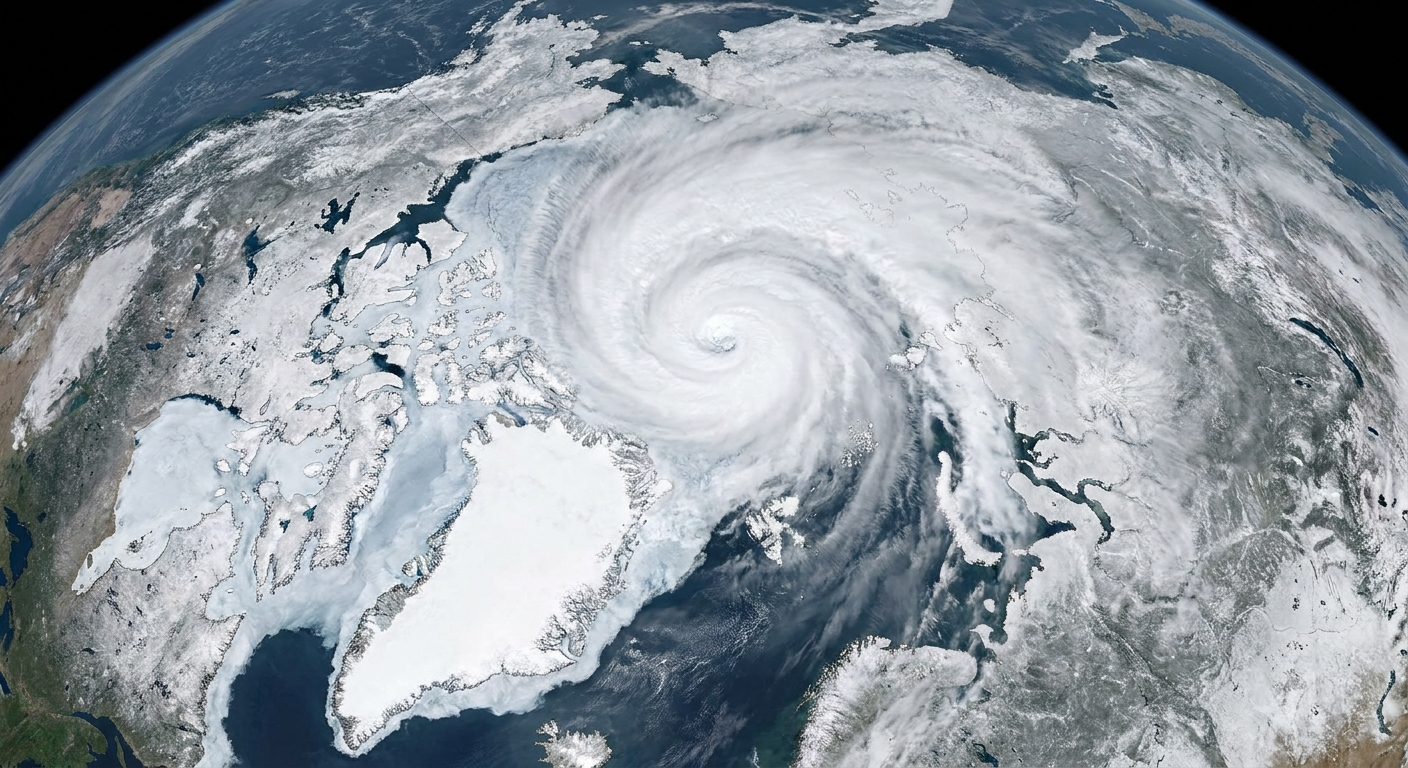
A sudden stratospheric warming, or SSW, is a rapid wintertime temperature jump in the polar stratosphere that is strong enough to weaken and sometimes reverse the usual west to east winds that circle the pole at those heights. Think of it as a major disruption in the upper atmosphere’s winter circulation, like bumping the steering wheel of a slow moving but massive ship.
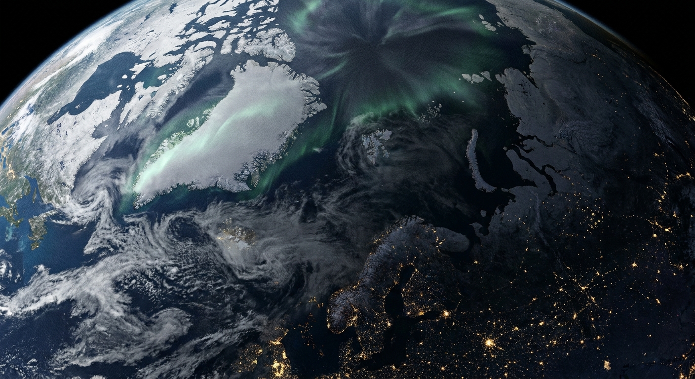
The quick definition
Sudden stratospheric warming is defined by two key features that happen in the stratosphere during winter:
- Temperatures over the pole rise very quickly, and can jump by tens of degrees Celsius over several days (often most dramatically near roughly 10 hPa, around 30 km altitude).
- The westerly polar night jet weakens dramatically, and in major events it can reverse direction to become easterly.
It is crucial to keep the word stratospheric front and center. An SSW is not a warm spell at the ground. It is a dynamical event up high that can, in some cases, eventually influence the weather patterns down where we live.
Where this happens
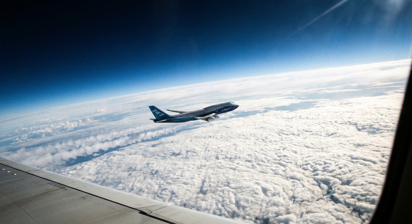
The stratosphere begins above the troposphere, the layer where almost all everyday weather happens. If you picture a commercial jet cruising around 10 to 12 km up, an SSW is typically focused well above that, more like 20 to 50 km altitude.
In winter, the polar stratosphere is usually extremely cold and dark, and its winds are typically strong and fairly organized. That background setup is what makes an SSW possible. When the circulation gets disrupted, the stratosphere can heat rapidly because the large-scale circulation shifts toward sinking air over the pole. Downward-moving air compresses and warms, like a bicycle pump warming in your hand when you pump it, and the circulation change also alters the usual balance of heating and cooling aloft.
What triggers an SSW?
The short version is: large atmospheric waves push upward from the lower atmosphere and “break” in the stratosphere, forcing the polar circulation to slow down and sometimes flip.
Here is the friendlier mental picture I used to give my physics students: imagine a fast moving current in a river. Now imagine boulders and bends downstream that create big standing waves and turbulence. The current can no longer flow smoothly. In the atmosphere, those “boulders and bends” are things like continents, mountain ranges, and strong temperature contrasts that help generate planetary scale Rossby waves. When those waves propagate upward into the stratosphere and deposit momentum, they can act like a brake on the usual winter winds.
Not every winter produces an SSW, and not every SSW looks the same. Some events mainly displace the circulation off the pole. Others split it into two lobes. But the common theme is wave-driven disruption and rapid stratospheric warming.
The timeline
This is the part people care about most, and it is also the part where it helps to be humble. An SSW can raise the odds of certain surface patterns, but it does not guarantee them, and it does not tell you whether your town gets snow on a particular weekend.
Step 1: The stratosphere warms fast
Over a span of days, the polar stratosphere can warm dramatically. This warming is tied to changes in circulation, including downward motion of air over the pole. Downward-moving air compresses and warms, so the temperature jump is more a sign of circulation reorganization than of extra sunshine.
Step 2: The polar night jet weakens
Forecasters often talk about whether an event is a major SSW. In common scientific usage, a major event involves a reversal of the zonal-mean westerly winds at 60°N and 10 hPa, along with associated temperature and circulation changes. A minor event can be a strong weakening without a full reversal.
Step 3: The disruption can descend
After the peak warming and wind changes, the altered wind pattern can sometimes work its way downward over the following days to weeks. You will sometimes hear this called downward coupling or the event “propagating downward.”
Step 4: Surface patterns may shift
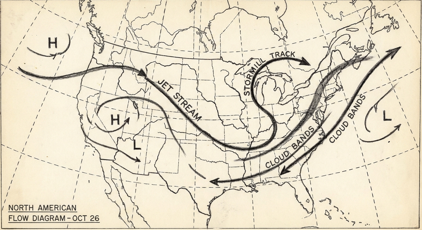
If the stratospheric changes successfully couple to the troposphere, they can favor large-scale circulation patterns often described as a more negative Arctic Oscillation (AO) or, in the North Atlantic sector, a more negative North Atlantic Oscillation (NAO). In plain terms, that setup can make cold air outbreaks more likely in parts of the Northern Hemisphere.
In terms of timing, the surface response often shows up about 1 to 3 weeks after the stratospheric peak, but the lag and the strength of the response are highly variable. Sometimes it is quicker, sometimes it is later, and sometimes it is barely there.
If you want one takeaway: an SSW is often more like loading the dice than writing the script.
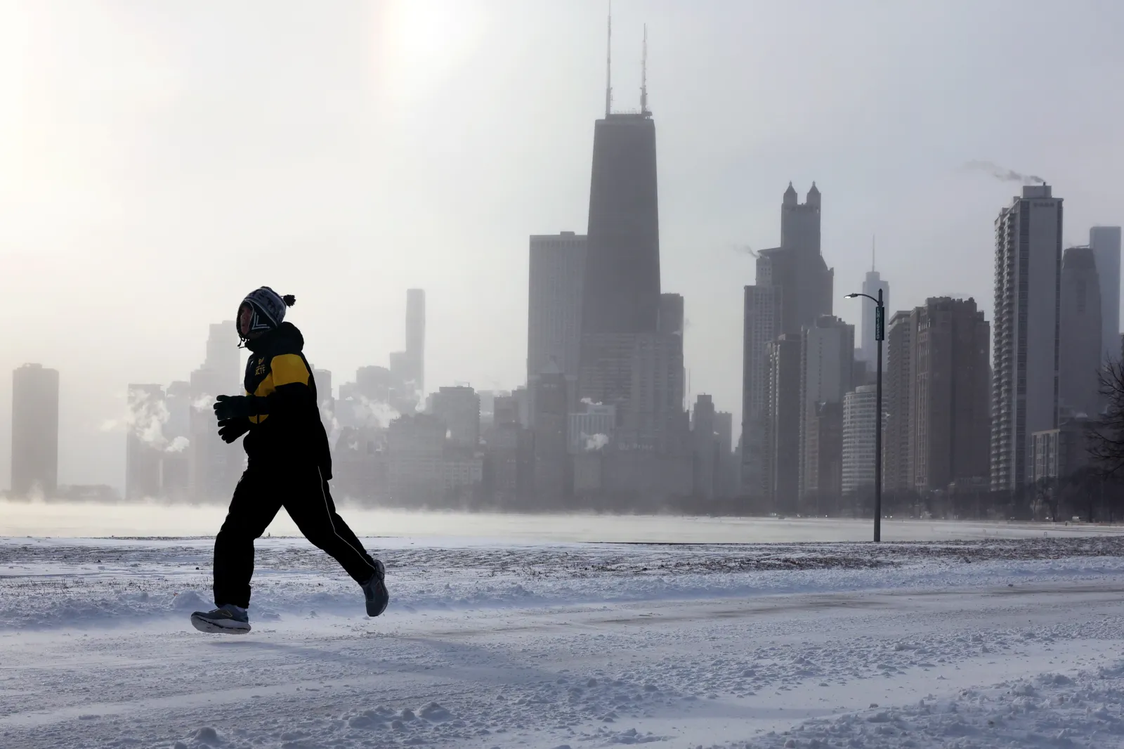
Does an SSW always cause extreme cold?
No. This is one of the most common misunderstandings.
- Some SSWs are followed by notable cold spells in parts of North America, Europe, or Asia.
- Some are followed by only subtle pattern shifts that most people would not notice.
- Some have little to no clear surface impact, especially if the troposphere is already locked into a different pattern.
Also, “cold outbreak somewhere” is not the same as “cold everywhere.” The atmosphere is a global balancing act. When one region gets a deep cold dip, another region can simultaneously be milder than average.
Why the warming is sudden
In everyday conversation, “sudden” might mean within minutes. In atmospheric science, “sudden” is more like “dramatic on the timescale of how the stratosphere usually behaves.”
The stratosphere typically changes more slowly and smoothly than the troposphere. So when temperatures jump by tens of degrees over a few days and winds reorganize across the polar region, it stands out as a major event, even though it is still slower than, say, a summertime thunderstorm outbreak.
When SSWs happen
SSWs are primarily a winter phenomenon in the Northern Hemisphere, most common in January and February, though they can occur in December and into early spring. They are much rarer in the Southern Hemisphere because the Antarctic winter circulation tends to be stronger and more stable, with less of the kind of wave driving that disrupts the vortex. Rare Southern Hemisphere warmings have been observed, but they are the exception, not the rule.
How scientists monitor SSWs
Because SSWs occur high above the surface, they are tracked using a mix of observations and models:
- Weather balloons (radiosondes) that sample temperature and winds through the lower stratosphere.
- Satellites that infer temperature structure and track large-scale circulation features.
- Reanalysis products, which combine observations with model physics to provide a best estimate of the atmospheric state.
- Forecast models that attempt to predict stratospheric evolution and whether changes will couple downward.
When you see headlines about the stratosphere “flipping” or “reversing,” they are usually referring to these wind metrics at specific stratospheric levels.
FAQ
Is sudden stratospheric warming the same thing as climate change?
No. An SSW is a natural atmospheric event that has been observed for decades. Climate change can influence the background conditions the atmosphere operates in, and scientists actively study how a warming climate might affect stratospheric dynamics. But an individual SSW is not, by itself, proof of long-term climate trends.
Can an SSW make it warmer where I live?
It can, indirectly. If the large-scale circulation shifts in a way that brings mild air into your region, you may see above-average temperatures even while another region turns colder. The key is that an SSW can nudge the jet stream patterns around, and those shifts can go either way locally.
How long does an SSW last?
The rapid warming and wind disruption can unfold over days, but the stratospheric circulation can stay disturbed for weeks. The potential surface response, when it occurs, often lags the stratospheric peak by roughly 1 to 3 weeks.
Can forecasters predict SSWs?
Forecast skill has improved, especially within a couple weeks of an event, but prediction is still challenging. Stratosphere forecasting depends on how well models handle wave activity and its interaction with the background winds. Even if an SSW is predicted well, the surface impacts remain probabilistic.
Will an SSW happen every winter?
No. Some winters have none. Some have one. Occasionally, a winter can feature multiple warming events of varying strength.
The bottom line
A sudden stratospheric warming is a rapid wintertime temperature spike over the pole in the stratosphere that can dramatically weaken and sometimes reverse the westerly polar night jet. In a major event, that reversal is typically defined using the zonal-mean wind at 60°N and 10 hPa. After the wind reversal, the stratospheric disruption can sometimes descend and increase the odds of surface cold outbreaks weeks later, although the surface outcome is never guaranteed.
If you are watching winter forecasts, an SSW is best thought of as an important upstream clue: it tells us the atmosphere’s higher-level circulation has been shaken, and the lower atmosphere may respond next.