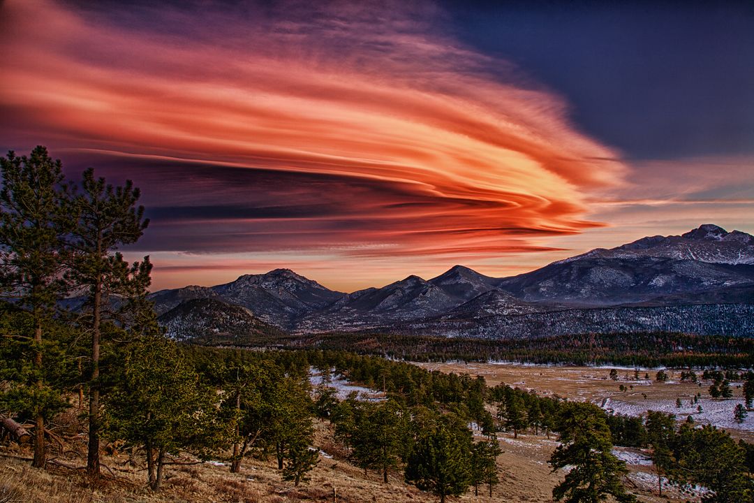
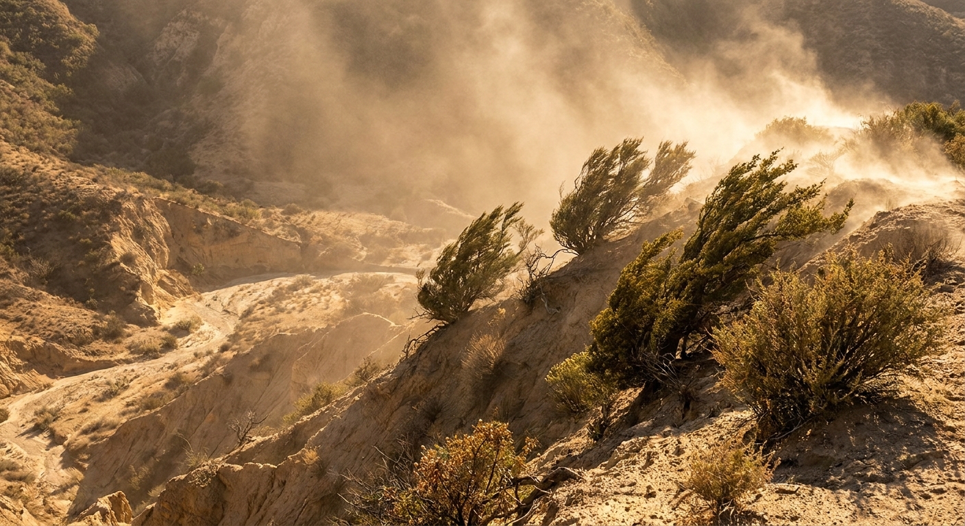
I used to watch it click for my physics students the moment we stopped treating weather like “random” and started treating it like a moving, cooling, condensing system. A rain shadow is one of the cleanest examples. You can drive for an hour, cross a mountain range, and go from mossy evergreens to sagebrush and dust, not because the sun is different, but because the air is.
A rain shadow is the drier region on the downwind, or leeward, side of a mountain range. The mountains force moist air to rise, the air cools and drops much of its water on the windward slopes, and then the air spills down the other side warmer and much drier.
The big idea in one breath
Rain shadows happen because air that rises cools, and as it cools it reaches saturation more easily. That extra water ends up as clouds and precipitation on the windward side. After the air crosses the crest and descends, it warms up, its relative humidity drops, and skies tend to clear.
If you want a mental picture: imagine a wet sponge being pushed up a hill. As it climbs, you squeeze water out of it. By the time it rolls down the other side, it is already wrung out.
How a rain shadow forms, step by step
1) Moist air arrives at the mountains
Prevailing winds carry air that contains water vapor. Along the US West Coast, that often means Pacific moisture moving inland.
2) The air is forced upward (orographic lift)
Mountains do not politely let air pass through. They push it up and over. This is called orographic lift.
3) Rising air cools, clouds form, and precipitation falls
As air rises, the surrounding pressure drops, so the air expands and cools. Cooling pushes the air toward saturation, so water vapor condenses into cloud droplets. Once droplets or ice crystals grow large enough, gravity takes over and you get rain or snow. This is why windward slopes often have lush forests, heavy snowpack, and lots of runoff.
4) Air descends the leeward side and dries out
After losing moisture, the air flows over the crest and begins to sink. Descending air compresses and warms. Warmer air can hold more water vapor, so the relative humidity drops, clouds evaporate, and the leeward side tends to be sunny and dry. That dry zone is the rain shadow.
Important nuance: the air is not “sucking up” moisture from the ground on the way down. It is simply warmer relative to how much water vapor it contains, which makes cloud formation less likely.
The Cascades: a classic rain shadow drive
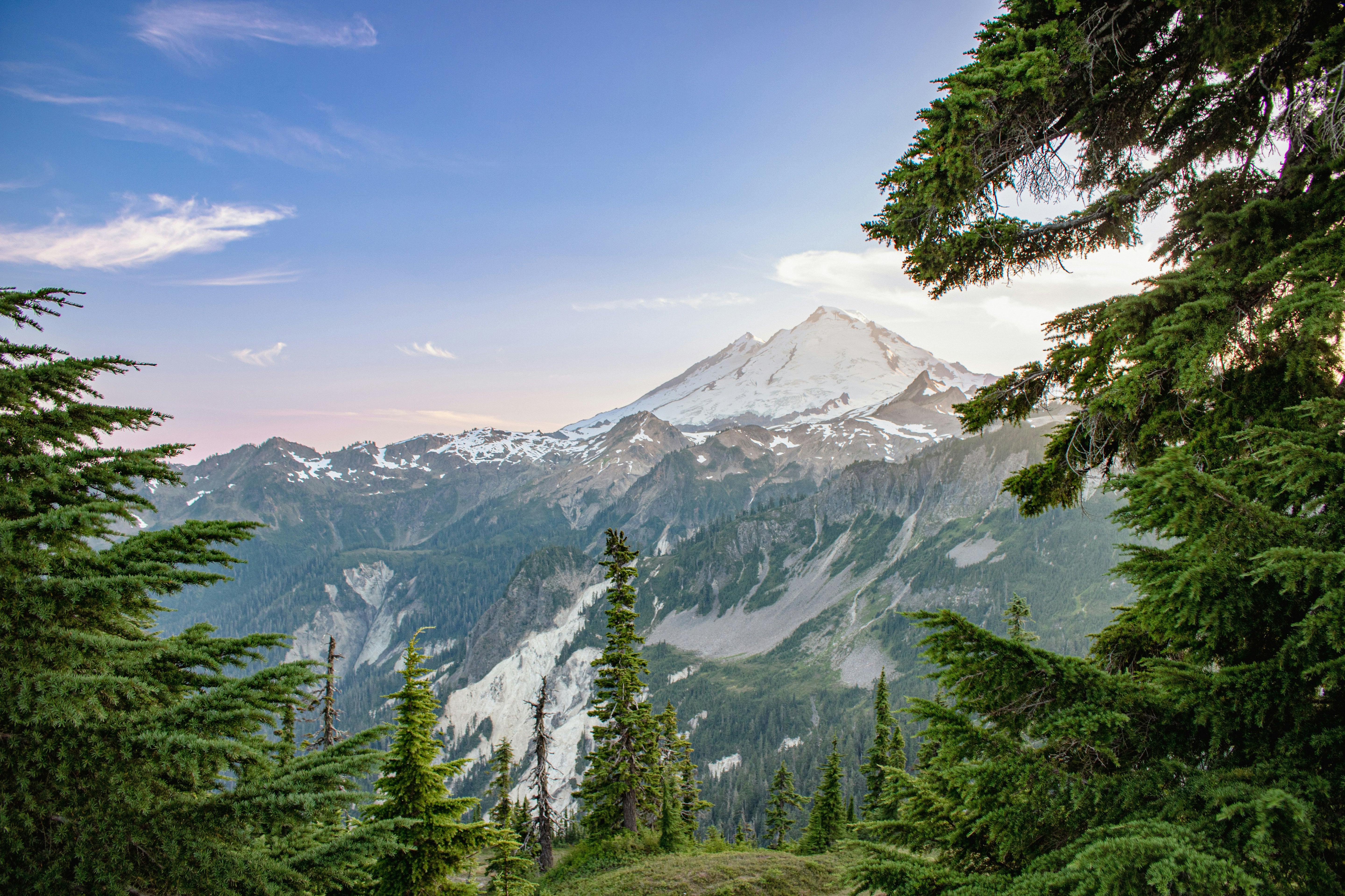
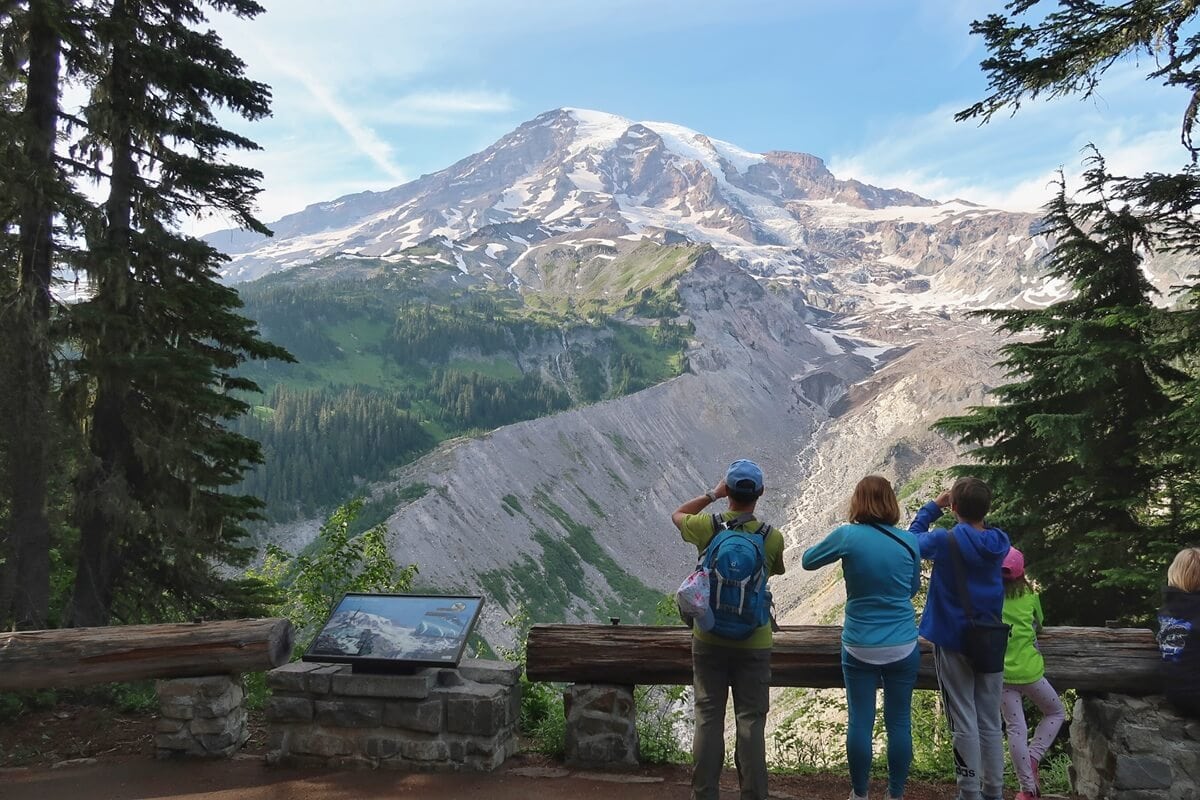
The Cascade Range in Washington and Oregon is a textbook rain shadow machine. Moist air from the Pacific hits the west slopes, rises, cools, and drops substantial rain and snow. East of the crest, conditions shift rapidly toward semi-arid landscapes.
Real precipitation numbers (windward vs leeward)
Because rainfall varies with elevation and local geography, there is no single number for “the west side” or “the east side.” But the contrast is real and measurable. The figures below are approximate annual totals from 1991 to 2020 climate normals as commonly reported by NOAA and related US climate datasets, and they should be read as total annual precipitation (liquid equivalent), not snowfall depth.
- Windward side example: On the wet, windward side of the Cascades, Paradise at Mount Rainier is commonly on the order of about 100 to 120 inches (about 2,500 to 3,000 mm) of total annual precipitation, with a big fraction arriving as snow.
- Leeward side example: Just east of the Cascades, places like Yakima, Washington are often around about 8 to 9 inches (about 200 to 230 mm) of precipitation per year in many 30-year normals, and Ellensburg is commonly in the about 8 to 10 inch range depending on the dataset and averaging period.
Even if you choose different representative towns, the punchline stays the same: when you compare very wet windward mountain locations to nearby leeward valleys, the downwind side commonly receives many times less precipitation, sometimes approaching an order-of-magnitude difference.
That steep gradient is why you can find dense conifer forests to the west and much drier shrub steppe to the east.
The Sierra Nevada: wet side, dry side
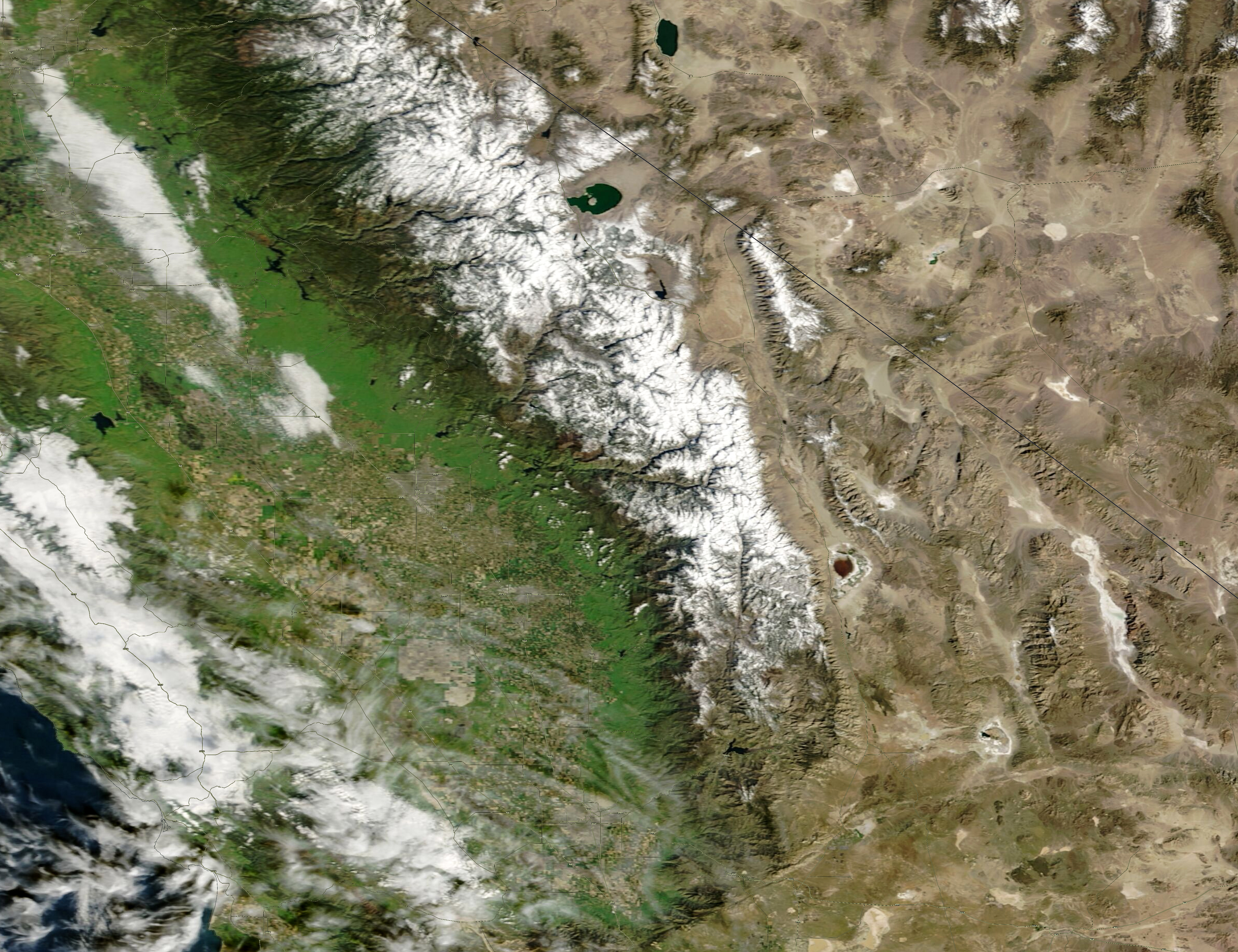
The Sierra Nevada plays the same role for California and Nevada. Winter storms often arrive from the Pacific, rise over the Sierra, and drop precipitation as rain at lower elevations and snow at higher elevations. East of the crest, the atmosphere has already been wrung out, helping create the aridity of the Great Basin.
Real precipitation numbers (west slope vs east side)
As with the Cascades, these are approximate annual totals from 1991 to 2020 normals as commonly reported by NOAA and related datasets, and they are best interpreted as liquid-equivalent precipitation totals.
- Windward side example: The Sierra’s western slopes can be quite wet. For a concrete reference point, Blue Canyon, California (on the west slope of the northern Sierra) averages about 60 inches (about 1,500 mm) of precipitation per year, much of it in the cool season.
- Leeward side example: On the east side in the rain shadow, Reno, Nevada averages roughly 7 to 8 inches (about 180 to 200 mm) per year. Farther south, Death Valley sits in overlapping rain shadows and averages around 2 inches (about 50 mm) per year.
Those numbers make the rain shadow feel less like a vocabulary word and more like a landscape architect. The Sierra helps feed major watersheds to the west while contributing to starkly drier basins to the east.
Rain shadow vs chinook wind
If you have heard of a chinook wind (or a foehn wind in other parts of the world), you are already circling the same physics. Chinooks are warm, dry downslope winds that can occur when air descends a mountain range and heats up quickly.
A rain shadow, though, is the persistent precipitation pattern created by many storm systems and prevailing winds over time. Chinooks are more like a short-term burst of that downslope warming. A rain shadow is the long-term climate signature.
Why rain shadows matter
They shape ecosystems
Rain shadows help explain why you get temperate rainforests and dense conifers on one side of a range and grasslands, shrublands, or deserts on the other.
They influence water supply
On the wet side, precipitation supports rivers, reservoirs, and snowpack. On the dry side, communities often depend on irrigation, groundwater, or water imported across basins.
They affect wildfire risk
Drier climates generally dry fuels faster and lengthen the fire season. Rain shadow regions can be naturally fire-prone even without unusual heat or drought.
They complicate “one number” forecasts
Mountains create sharp gradients. A regional forecast might say “rain for the Northwest,” while the leeward valleys stay mostly dry. Terrain matters.
Common questions
Is a rain shadow always a desert?
No. A rain shadow is drier than the windward side, but how dry it becomes depends on latitude, storm tracks, distance from the ocean, and local topography. Some rain shadows are semi-arid; others are full deserts.
Does the leeward side never get rain?
It still can. Storm direction shifts, low pressure systems wrap moisture around ranges, and summer thunderstorms can pop up. The key is that the average precipitation is lower because many storms lose their moisture before crossing the crest. In some regions, precipitation can also pick up again farther inland when air is lifted by a new range or a change in terrain.
Do rain shadows happen only near oceans?
No. Any situation with moist air being forced over mountains can create a rain shadow. Coastal ranges make the effect especially dramatic because they intercept moisture-rich air frequently.
What is the simplest way to spot a rain shadow on a map?
Look for a mountain range aligned across prevailing winds, then check vegetation and climate zones on either side. A quick clue is often dense forests on the windward side and open grassland or scrub on the leeward side.
The take-home picture
A rain shadow is what you get when mountains force the atmosphere to do some thermodynamics in public. Air rises, cools, and drops moisture on the windward slopes. Then it descends, warms, and clears out on the leeward side. The Cascades and the Sierra Nevada make that story visible in the landscape and in the numbers: dozens of inches of precipitation on the wet side, and single digits in many downwind valleys.
The next time you cross a mountain pass and the world abruptly changes color, you are not just seeing scenery. You are seeing the water cycle taking a detour.