The first time I experienced a Chinook, it felt like the atmosphere was playing a practical joke. One day the world was locked in that crisp, squeaky cold where snow sounds like styrofoam under your boots. Then, almost out of nowhere, the air softened. Snow started to slump. Jackets unzipped. You could practically hear the temperature climbing.
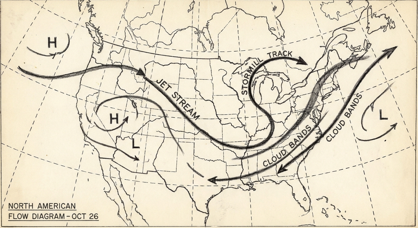
That sudden winter warmup is the calling card of a Chinook wind, a warm, dry wind that rushes down the lee side of the Rocky Mountains, most famously across parts of Alberta, Montana, Wyoming, and Colorado’s Front Range. It is not a new air mass teleporting in from the tropics. Often the stage is set by broader west to east flow from the Pacific, but the dramatic change you feel happens because the air is transformed by a mountain-sized lesson in physics.
Chinook wind, in plain language
A Chinook wind is a downslope wind. That means air is forced over the mountains and then accelerates downward on the other side. As it descends, it becomes warmer and usually drier.
People sometimes call Chinooks “snow-eaters,” because they can shrink snowpack quickly through melting and evaporation, and in cold, dry, windy setups, even sublimation (snow turning straight into water vapor). They can also bring powerful gusts, which is why a Chinook can feel less like a gentle warm breeze and more like a hair dryer turned on high.
Where Chinooks happen
You will most often hear “Chinook” used for winds on the east side of the Rockies, including:
- Southern Alberta (the classic Chinook country)
- Montana (especially along the Rocky Mountain Front)
- Wyoming
- Colorado (Front Range and adjacent plains, depending on the setup)
The key geographic ingredient is a tall mountain barrier with open terrain on the downwind side where air can pour downhill and spread out.
You may also see the word “Chinook” used a bit differently in other parts of the West, depending on local tradition. But when people talk about a classic Chinook event, they usually mean that warm, dry downslope surge east of the Rockies.
Why the air warms as it descends
This is the satisfying part for my fellow physics lovers, and also completely approachable if you have never taken a meteorology class.
Step 1: Air is pushed up and cools
When wind blows toward a mountain range, the air has to go somewhere. Much of it is forced upward. Higher altitude means lower pressure, so the rising air expands, and expanding air cools. If it cools enough, water vapor condenses into clouds, and sometimes precipitation falls on the windward side.
Step 2: Moisture and latent heat can matter, but they are not required
Chinook warming does not require heavy clouds or precipitation. You can get a Chinook simply from air being forced up and then driven back down the lee slope, warming as it compresses.
That said, moisture can amplify the effect in many real events. If rising air becomes saturated, condensation releases latent heat, so the air cools more slowly during ascent than perfectly dry air would. If some of that moisture then falls out as precipitation, the air crossing the crest can also be drier, which sets up the classic warm, dry Chinook feel on the way down.
Step 3: Air comes down, compresses, and warms fast
Now the air spills down the lee side. As it descends, pressure increases, so the air is compressed. Compressing air warms. This warming is called adiabatic warming, meaning the temperature changes mainly because of pressure changes, not because the air is absorbing heat from the ground like a sunbaked rock would.
If you like a number to hang it on, sinking dry air warms at about 9.8°C per kilometer (about 5.4°F per 1,000 feet). You do not need to do math in your head to appreciate the punchline, though.
Here is the quick mental model: rising air expands and cools; sinking air compresses and warms. Mountains force the rise and then gravity does the rest.
Why Chinooks feel so dry
Two things are usually happening at once:
- Moisture was often reduced earlier. If the air formed clouds and produced precipitation on the windward side, the air crossing the mountains can be comparatively dry.
- Relative humidity drops as temperature rises. Even if the amount of water vapor stays the same, warming the air increases how much moisture it could hold, so relative humidity falls. Your skin notices.
This is why a Chinook can turn a cold day into a weirdly mild one while also making lips chap and static electricity go a little wild.
How fast can temperatures jump?
Chinooks are famous for rapid temperature increases in winter, sometimes over a few hours. The exact jump varies with the strength of the flow, the depth of the cold air near the surface before the Chinook arrives, cloud cover, and how effectively the downslope wind mixes the lower atmosphere.
If you have ever watched a local forecast where the temperature line looks like a staircase, a Chinook is one of the classic reasons that can happen east of the Rockies. It is not that the sun suddenly got stronger. It is that the wind changed the air you are standing in and changed it quickly.
Chinooks and mountain waves
One reason Chinooks can arrive with such attitude is that they are often tied to mountain waves. Picture fast flow crossing the Rockies and setting up a ripple pattern downwind, like air doing a slow motion bounce over the barrier. Under the right setup, those waves help accelerate air toward the surface, producing strong gusts, sharp temperature spikes, and turbulent conditions near and east of the foothills.
This is also why a Chinook can feel uneven from neighborhood to neighborhood. A few miles can be the difference between calm, trapped cold air and a roaring downslope wind.
Chinook winds vs. other named winds
Named winds can be confusing because different regions have their own repeatable patterns. A Chinook is specifically tied to downslope flow off the Rockies in common North American usage.
- Chinook: Warm, dry downslope wind on the lee side of the Rockies.
- Foehn winds: The broader category for warm downslope winds in mountain regions around the world. Chinooks are a Rockies version of a foehn-type wind.
If you are reading about a warm, dry wind, it is tempting to mash all the named winds together. But Chinooks are most at home in the Rockies neighborhood, with their own local quirks and cloud signatures.
Signs a Chinook is happening
1) A sudden wind shift and strengthening
Downslope winds can arrive like someone opened a door in the atmosphere. Gusts increase, and the wind direction often lines up with flow coming off the mountains.
2) A fast warmup
Temperatures rise quickly, sometimes enough to push conditions above freezing even in the heart of winter.
3) Distinctive clouds near the mountains
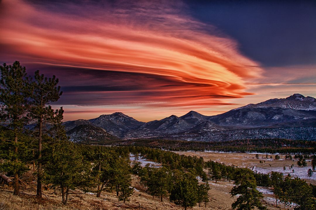
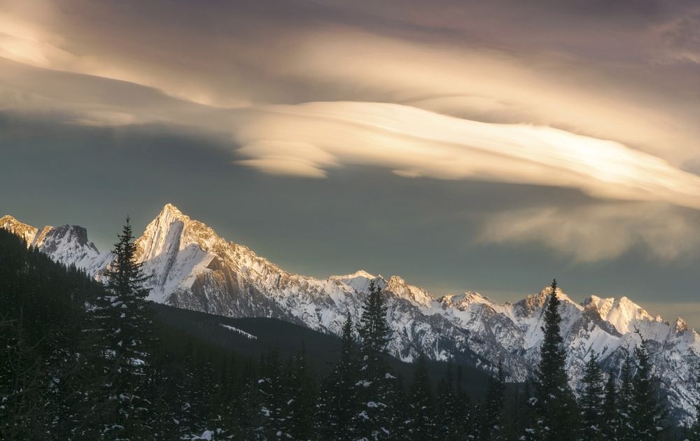
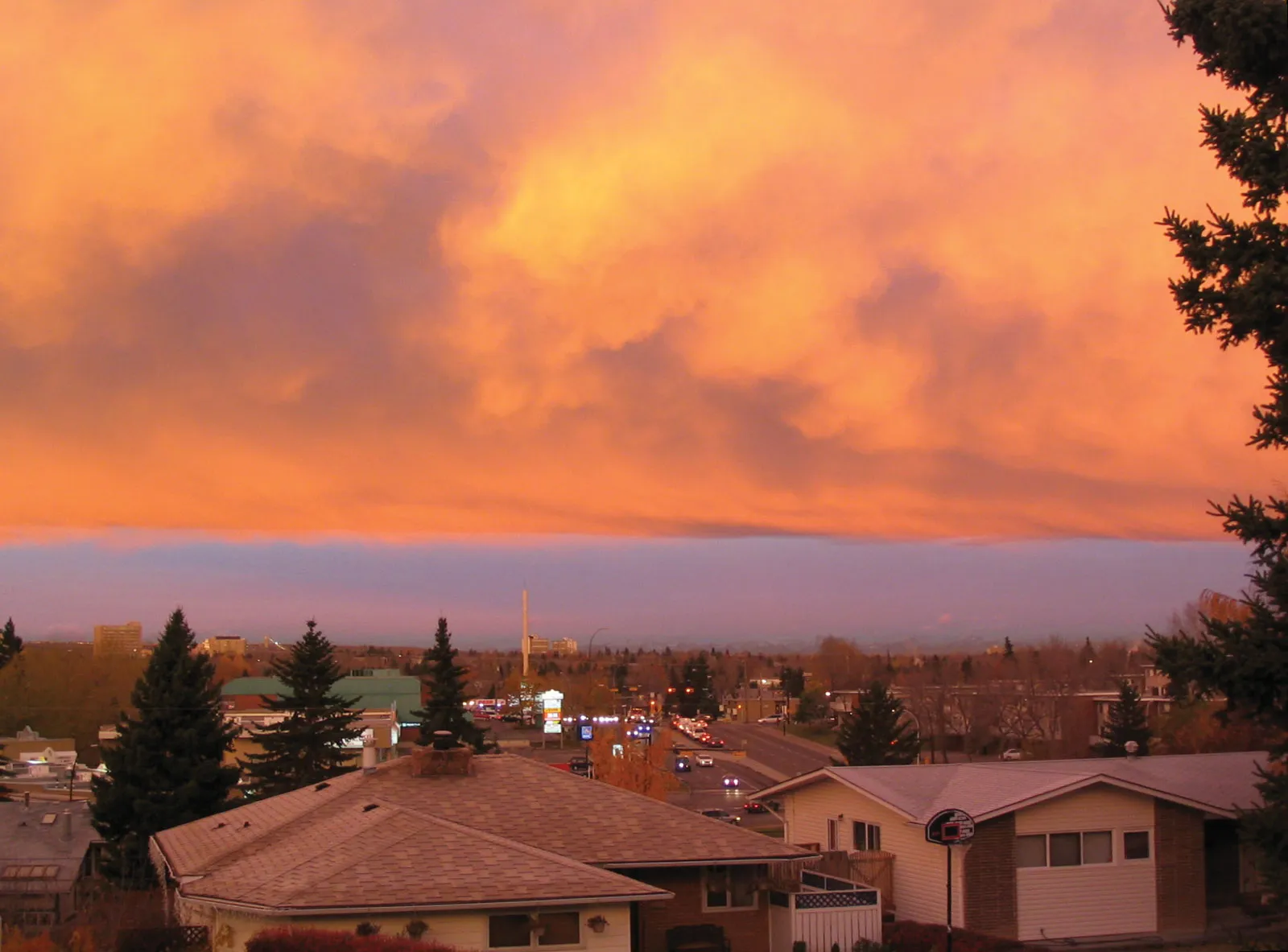
Depending on the setup, you might see smooth, lens-shaped lenticular clouds over the high terrain, or a sweeping band known as a Chinook arch near the foothills. These are clues that strong flow is interacting with the mountain barrier.
Why Chinooks matter
Chinooks are not just a trivia question. They can affect:
- Road conditions: Rapid melting followed by refreezing later can create ice hazards.
- Snowpack and water timing: Short-term melt events can change how and when water runs off.
- Comfort and health: Big swings in temperature and humidity can be hard on some people, especially those sensitive to very dry air.
- Wildfire and grassfire risk: In snow-free seasons, warm, dry, gusty winds can raise fire danger and spread flames quickly.
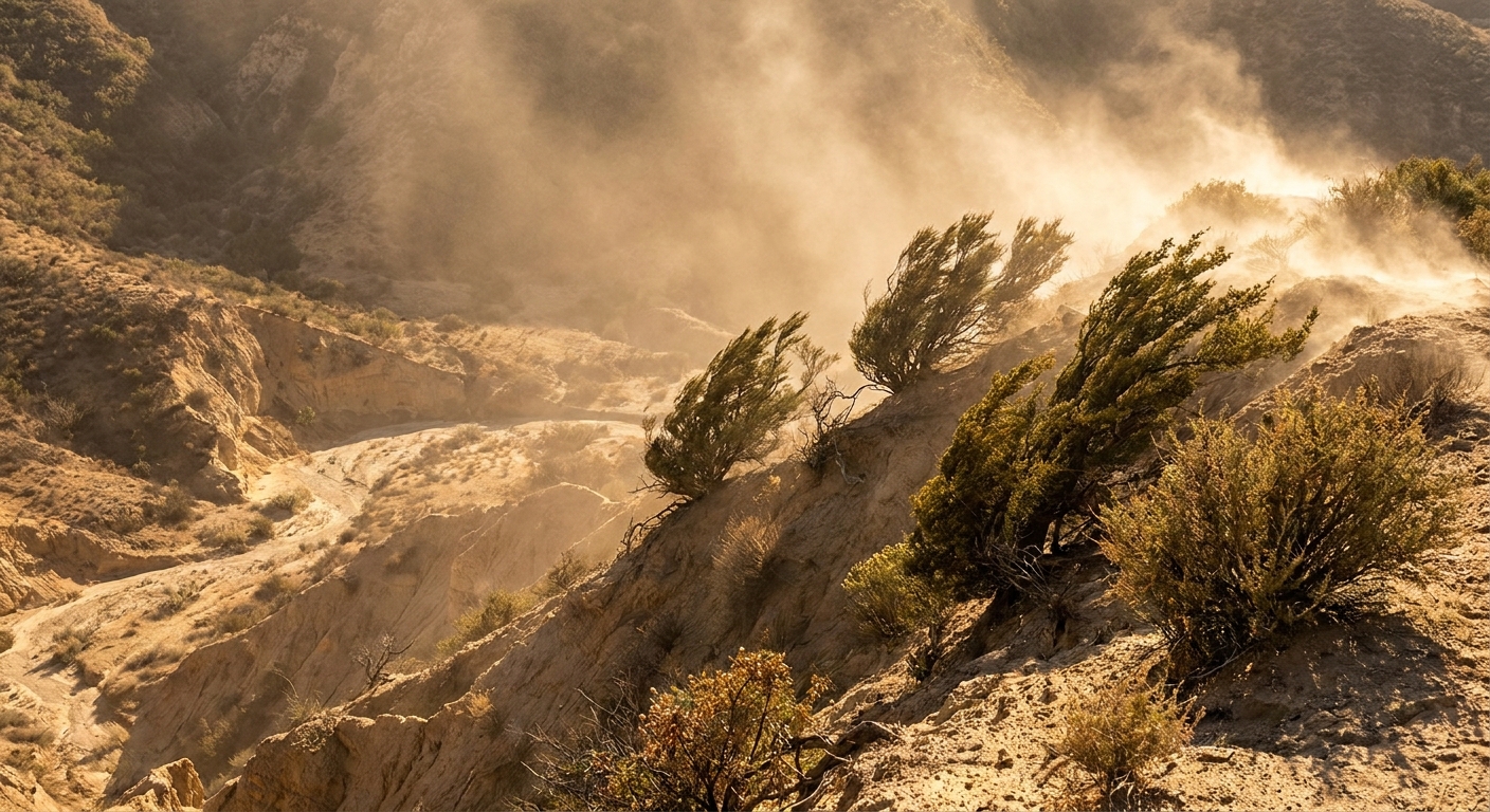
- Blowing dust: If soils are exposed, Chinook gusts can kick up dust and reduce visibility.
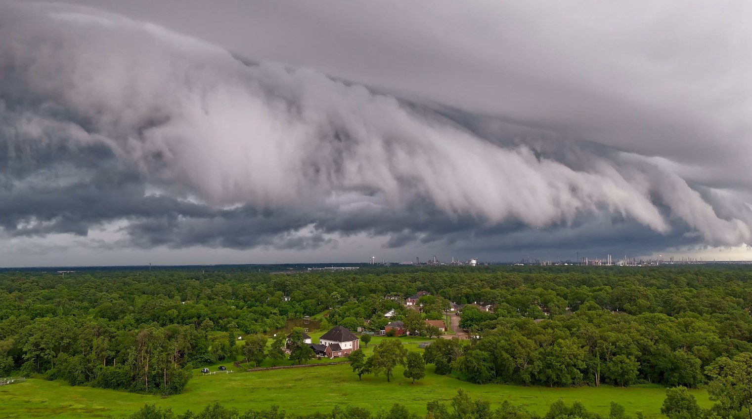
- Aviation and turbulence: Mountain-wave setups can create rough air, especially near the foothills and in the lee of terrain.
- Local weather planning: If you live along the Front Range or nearby plains, Chinooks can upend a “normal” winter day fast.
FAQ
Is a Chinook wind always warm?
It is defined by its warm, downslope character, but “warm” is relative. In midwinter, a Chinook might mean jumping from bitter cold to merely chilly, or it might push temperatures above freezing.
Does a Chinook come from the Pacific Ocean?
The larger weather pattern often involves air moving in from the west, sometimes with Pacific influence. But the dramatic warming you feel on the lee side is mainly caused by descending air compressing and warming, with moisture processes sometimes enhancing the effect.
Can Chinooks melt snow even if the air temperature is near freezing?
Yes. Strong wind, low humidity, and temperatures hovering around freezing can still shrink snowpack through a combination of melting, evaporation, and sublimation.
Are Chinooks the same thing as foehn winds?
They are closely related. “Foehn” is the broader category for warm downslope winds. “Chinook” is the name commonly used for the Rockies version.
The takeaway
A Chinook wind is a warm, dry downslope wind on the lee side of the Rockies. Its superpower is simple physics: as air descends, it compresses, and compressed air warms. Add in the way moisture processes can sometimes boost the warming and the way relative humidity drops as temperatures rise, and you get that signature Chinook feeling: a winter day that suddenly seems to forget it is winter.