The first time I really felt a Santa Ana wind, I remember stepping outside and thinking: the air feels like it came out of a hair dryer. My golden retriever, Quark, did his usual “sniff the whole universe” routine and then looked up at me like, “Why does everything smell extra crunchy today?” That is a pretty good starting point for Santa Ana winds: warm-to-hot (sometimes just mild), very dry air moving fast, with a talent for making Southern California feel like it has been put on dehydrate mode.
So what exactly is a Santa Ana wind, and why does it matter so much for fire weather? Let’s break it down without getting lost in jargon.
Santa Ana winds in one sentence
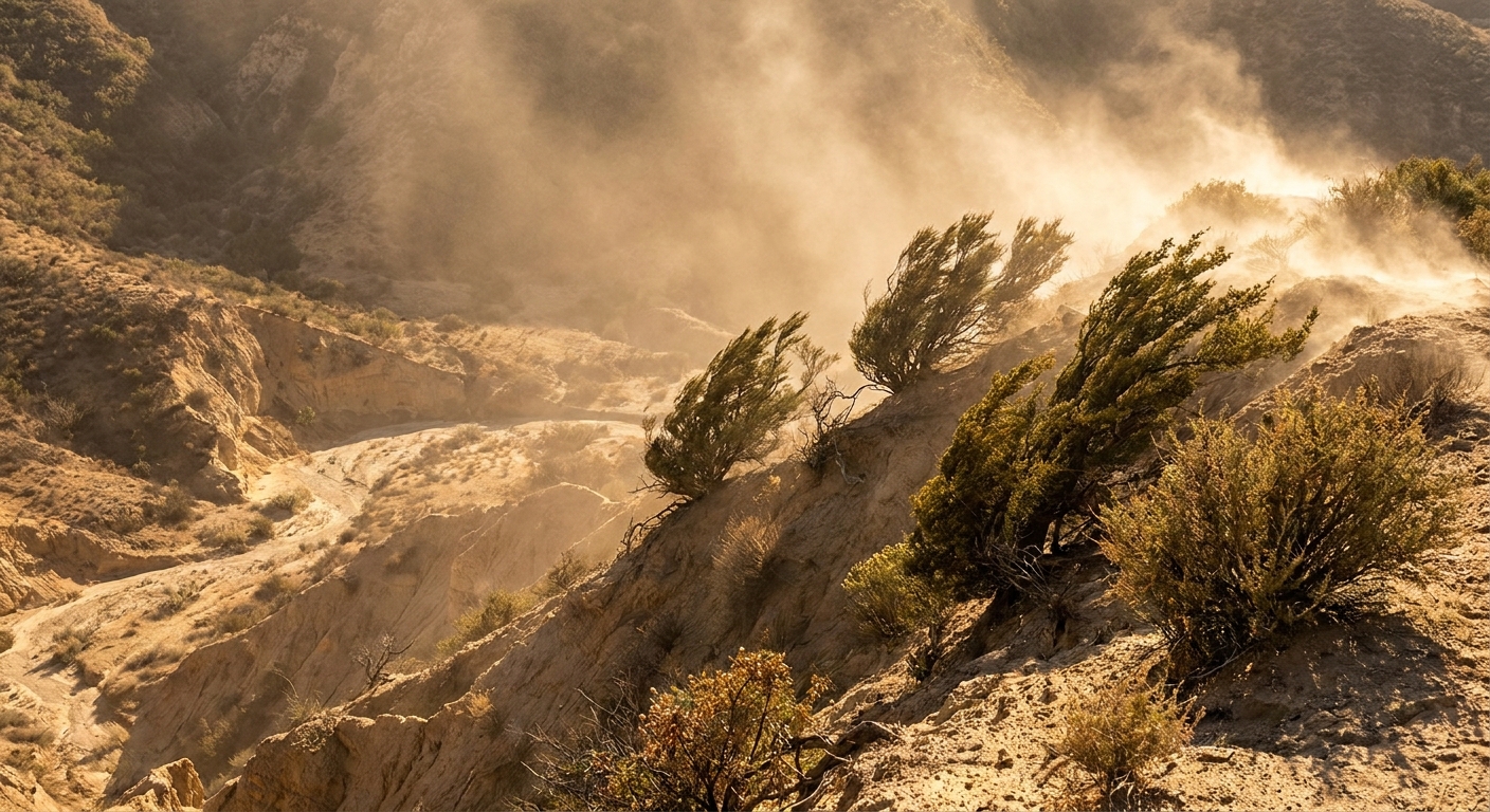
Santa Ana winds are strong, very dry offshore winds that blow from Southern California’s interior toward the coast, typically channeled through mountain passes and canyons, and often arriving warmer as they descend.
They are a type of downslope wind, meaning the air is moving from higher elevations to lower elevations. That downhill commute is the key to why they often show up feeling warmer and parched.
Where Santa Ana winds come from
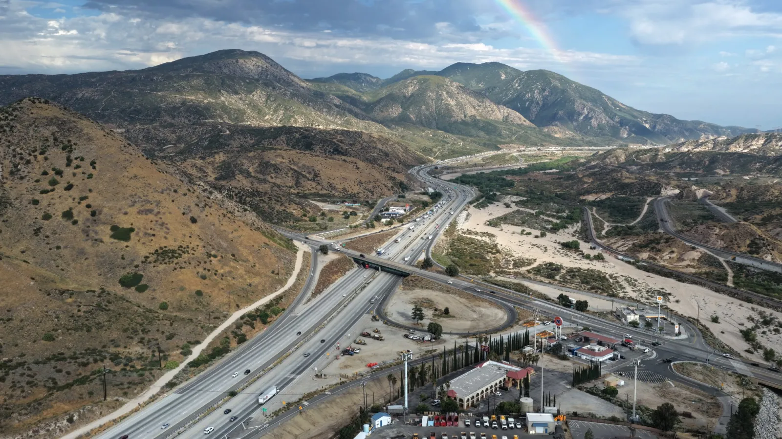
Think of Southern California’s geography as a set of connected rooms with doors and hallways. To the east you have inland basins and higher deserts, often tied to the broader Great Basin region. To the west you have the coastal plain and the Pacific. In between sits a set of mountain ranges, including the Transverse Ranges.
During a Santa Ana setup, higher pressure tends to build over the interior and lower pressure sits closer to the coast. Air naturally flows from high pressure toward low pressure, so the wind is pushed from inland toward the ocean.
Why the wind can get so strong
As that air heads west, it is often funneled through mountain passes and narrow canyons. Narrow pathways can act like a nozzle, accelerating the wind the way pinching a garden hose speeds up the water. The result can be powerful gusts, especially in and downstream of gaps and passes.
Why Santa Ana winds get warmer and drier
This is my favorite part to teach because it looks like magic until you see the physics.
When air flows downhill from higher elevations to lower elevations, the pressure around it increases. Increasing pressure compresses the air. And compressing air warms it up. This is called adiabatic warming, which is a fancy way of saying the air warms due to compression, not because it picked up heat from the ground like a frying pan.
The quick intuition
- Up high: air is at lower pressure.
- Down low: air is at higher pressure.
- Coming down: air gets compressed.
- Compression: temperature rises.
That said, not every Santa Ana feels “hot” at the surface. In winter or at night, the wind can be cool-to-mild where you are standing, while still being extremely dry and strong.
Dryness comes along for the ride in two ways:
- The source air is often already dry, commonly coming out of inland basins and the Great Basin, not straight off the ocean.
- Warming lowers relative humidity even if the air’s actual water vapor content does not change much. Relative humidity is a ratio, not a bucket. Warm the air and the air’s capacity to hold water vapor increases, so the relative humidity number drops.
That is why Santa Anas can feel drying in a very literal way: lips chap faster, plants lose moisture faster, and fine fuels like grasses and leaf litter can become easier to ignite.
How Santa Anas differ from a sea breeze
If you live near the Southern California coast, you are familiar with the more everyday pattern: a sea breeze that blows from the cooler ocean inland during the day. Santa Ana winds are basically the opposite direction and personality.
- Sea breeze: typically cooler, more humid, ocean to land.
- Santa Ana: typically much drier, land to ocean, and often warmer as it descends.
Santa Anas also tend to arrive with very clear skies, not because they create sunshine, but because the air is so dry and often descending (subsiding). That discourages cloud formation and can go hand in hand with inversions and very low dew points.
Why Santa Anas worsen wildfire spread
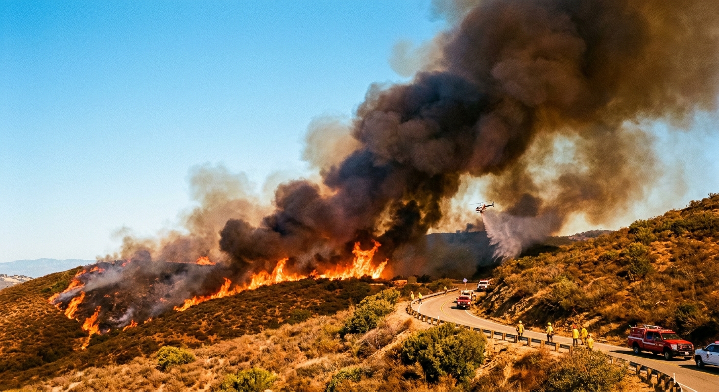
Santa Ana winds do not start every wildfire, but they can make existing fires far harder to control. Here is the basic recipe:
1) Wind pushes flames into new fuel
Yes, fire needs oxygen, and wind does keep fresh air moving into the flame zone. But the bigger, day-to-day driver in wind events is what the wind does to the flame and the fuel. Wind tilts flames so they lick forward into unburned vegetation, preheating and drying it and increasing the rate of spread.
2) Dry air helps fuels lose moisture
When relative humidity crashes, fine fuels like grasses, leaves, and small twigs can dry quickly. Drier fuels ignite more readily and burn more intensely.
3) Embers travel farther
High winds can loft burning embers and carry them downwind, starting new spot fires ahead of the main fire front. That can turn one fire into many, which is a nightmare for firefighters trying to build containment lines.
4) Terrain and canyons can focus the wind
Southern California’s canyons and passes can steer and accelerate flow. That means some neighborhoods experience especially strong, gusty conditions even when nearby areas feel relatively calm.
When do Santa Ana winds happen?
Santa Ana winds are most common in the cooler half of the year, when interior high pressure patterns that drive offshore flow are more likely. They can happen at other times too, but the classic Santa Ana season is fall into winter.
They can also run on an annoyingly non-human schedule. Some events peak overnight into morning, when the pressure gradient and downslope drainage flows can line up just right.
If you have ever heard people in Southern California talk about “red flag days” or “offshore wind events,” Santa Ana winds are one of the big reasons those warnings exist.
Practical impacts and safety
Santa Ana winds are not just a weather trivia fact. They show up as real-world headaches:
- Fire risk: avoid anything that can spark (yard equipment, target shooting where restricted, careless parking over dry grass). Take Red Flag Warnings seriously.
- Power and utilities: strong winds can down branches and lines, and utilities may do public safety power shutoffs in some areas.
- Travel: gusts can shove high-profile vehicles around, especially near passes and on exposed freeways.
- Home basics: secure patio furniture, clear dry debris away from structures, close windows if smoke is present, and keep an eye on local alerts.
Common questions
Are Santa Ana winds always hot?
They are often warm because descending air compresses and warms. But hot is relative. A winter Santa Ana might feel warm compared to a chilly coastal morning, while a fall Santa Ana can feel genuinely oven-like. Some events are cool at the surface, especially at night, while still being very dry and strong.
Do Santa Ana winds come from the ocean?
No. Santa Ana winds blow from inland toward the coast. That is a big part of why they are so dry when they arrive.
Are Santa Ana winds the same thing as a chinook?
They are both downslope winds that can warm as they descend, but they are not the same phenomenon in the same setting. Santa Ana winds are a specific Southern California offshore wind pattern tied to the region’s deserts, basins, and mountain passes.
Why do they feel like they dry out my skin and sinuses?
Low relative humidity increases evaporation from moist surfaces, including your skin and the lining of your nose and throat. Add wind, which strips away the thin layer of humid air near your skin, and you get that classic “my face is a saltine cracker now” sensation.
How long do Santa Ana events last?
It varies. Some are brief, others last several days, sometimes arriving in pulses as weather systems shift around the region.
The takeaway
A Santa Ana wind is not just a windy day. It is a specific offshore wind pattern that moves air from Southern California’s interior toward the coast. As that air descends through mountain passes and canyons, it often compresses, warms, and dries out. That combination of strong wind plus very low humidity is why Santa Ana conditions can rapidly worsen wildfire behavior.
If you live in the region, the practical mindset is simple: when Santa Ana winds are forecast, treat it like nature is turning up the speed and turning down the moisture. In fire season especially, that is a combo worth respecting.