The first time I saw a haboob roll in, it looked less like “weather” and more like a moving edge of the world. A dark, upright wall marched across the horizon, swallowing distant mountains first, then streetlights, then entire neighborhoods. One minute the sky was bright and hot, the next it was sepia-toned and gritty, like someone shook a giant chalk eraser over the landscape.
A haboob (pronounced huh-BOOB) is a specific kind of dust storm: a dense, fast-moving wall of dust raised by powerful thunderstorm outflow winds in a dry region. The term is used most often in desert settings, especially in the American Southwest, parts of North Africa, and the Middle East, where thunderstorms can form over dry ground that is ready to shed dust and sand at a moment’s notice.
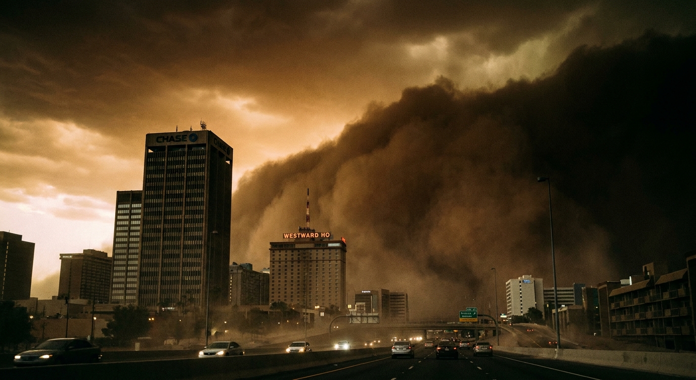
The quick definition
A haboob is a dust storm created when a thunderstorm’s strong outflow winds push a surge of air outward along the ground, lifting dust and sand into a thick, advancing front.
The key idea is that the dust is not just “blowing around.” It is being pushed forward by a gust front, the leading edge of storm-cooled air spreading out near the surface. That is why the boundary can look so clean and abrupt, like a rolling curtain.
How a haboob forms
Thunderstorms are like heat engines. Warm, moist air rises, water vapor condenses, and precipitation can cool the air around it. That cooling helps drive downdrafts, and those downdrafts are what feed the outflow winds that can launch a haboob.
Step 1: A thunderstorm builds and produces a downdraft
As rain falls through dry air beneath a storm, some of it evaporates. Evaporation steals heat from the surrounding air, making that air cooler and denser. Dense air wants to sink, so it accelerates downward.
Step 2: The downdraft hits the ground and spreads out
When the downdraft slams into the surface, it cannot go through the ground, so it spreads outward in all directions like water splashing from a hose hitting pavement. Meteorologists call this spreading surge an outflow, and its leading edge is the gust front.
Step 3: The gust front scoops up dust and sand
In deserts and semi-arid areas, the ground can be covered with loose, fine particles. The outflow winds pick those particles up and keep them suspended, creating the haboob’s signature “wall.” Sometimes the storm that generated it is miles behind the dust front, so the dust arrives before you ever hear thunder.
Not every thunderstorm outflow creates a haboob. You need the right combination of strong winds, dry air, and plenty of loose surface material.
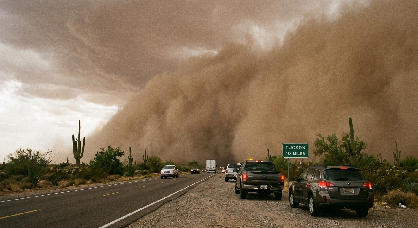
What it feels like up close
Haboobs tend to have a dramatic boundary because the air behind the gust front is cooler and denser than the hot air ahead of it. That contrast can make the edge look sharply defined, like a moving cliff.
- A sudden wind shift and wind spike as the gust front arrives
- A rapid drop in visibility, sometimes to near zero in minutes
- A gritty, drying sensation as dust fills the air and irritates eyes and throat
- A temperature drop as storm-cooled air replaces hot surface air
If you are watching from a distance, the haboob often looks taller than it “should” be. That is partly perspective and partly because dust can be lofted very high in strong outflow winds, with turbulence mixing particles upward well above rooftops and even ridgelines in big events.
Where the term is used
The word haboob comes from Arabic and is often translated as something like “blowing” or “blasting.” In everyday American usage, it is most commonly applied to the big, photogenic dust walls associated with monsoon-season thunderstorms in the desert Southwest, particularly Arizona.
That said, the physics is not exclusive to one region. Any dry environment with thunderstorms and loose soil can produce haboob-like events.
Haboob vs dust storm
A haboob is a type of dust storm, but not all dust storms are haboobs.
Dust storm is the broad category: strong winds lift dust and reduce visibility.
Haboob usually implies a thunderstorm-driven dust storm with a distinct, advancing gust front. In other words, the storm is the engine and the dust wall is the “plow” it pushes across the ground.
Why visibility drops fast
Dust particles are efficient at scattering light, and a haboob can pack an enormous number of them into the air at once. The leading edge is also turbulent, which keeps particles suspended rather than letting them settle.
From a practical standpoint, what matters is this: the transition can be fast enough that driving conditions go from normal to dangerous in less time than it takes to find an exit.
Haboob hazards
On the road
The biggest immediate risk for many people is traffic. Multi-vehicle pileups have occurred when drivers enter sudden near-zero visibility at highway speeds.
For breathing and eyes
Dust can irritate airways, trigger asthma, and cause coughing or shortness of breath. Eyes can become painfully dry and gritty, especially for contact lens wearers. If you have asthma or COPD, treat an incoming dust wall as a real health event, not just an inconvenience. Getting indoors, closing windows, and following local air-quality guidance can make a meaningful difference.
For storms nearby
A haboob is tied to a thunderstorm environment, so lightning, sudden heavy rain, and strong straight-line winds can all be in the neighborhood. Sometimes the dust arrives ahead of rain, and sometimes it arrives with little rain at all.
What to do
If you are driving
- Get off the roadway as soon as it is safe, ideally onto a side road or parking lot, not just the shoulder.
- Once you are completely out of travel lanes, avoid giving moving drivers a light to steer toward. In some places, safety agencies recommend turning off lights for this reason. If you do, make sure you are fully off the road and use common sense for your location and conditions.
- Set the parking brake and keep your foot off the brake if you are parked, to avoid signaling “traffic ahead” in the travel lane.
- Stay in the vehicle with windows up. If you must crack a window, do it minimally to reduce dust intake.
If you are outside
- Get indoors if possible.
- Protect your eyes and lungs. Glasses help with eyes. For breathing, a well-fitting N95 or KN95 generally filters dust far better than a loose cloth covering.
- Secure loose objects because outflow winds can be strong enough to toss patio items and debris.
How to spot one
You do not need meteorology software to catch the basic signs, though radar and weather alerts help. In the U.S. Southwest, the classic setup is summer thunderstorm season during the North American Monsoon, when storms can pop up fast over dry ground.
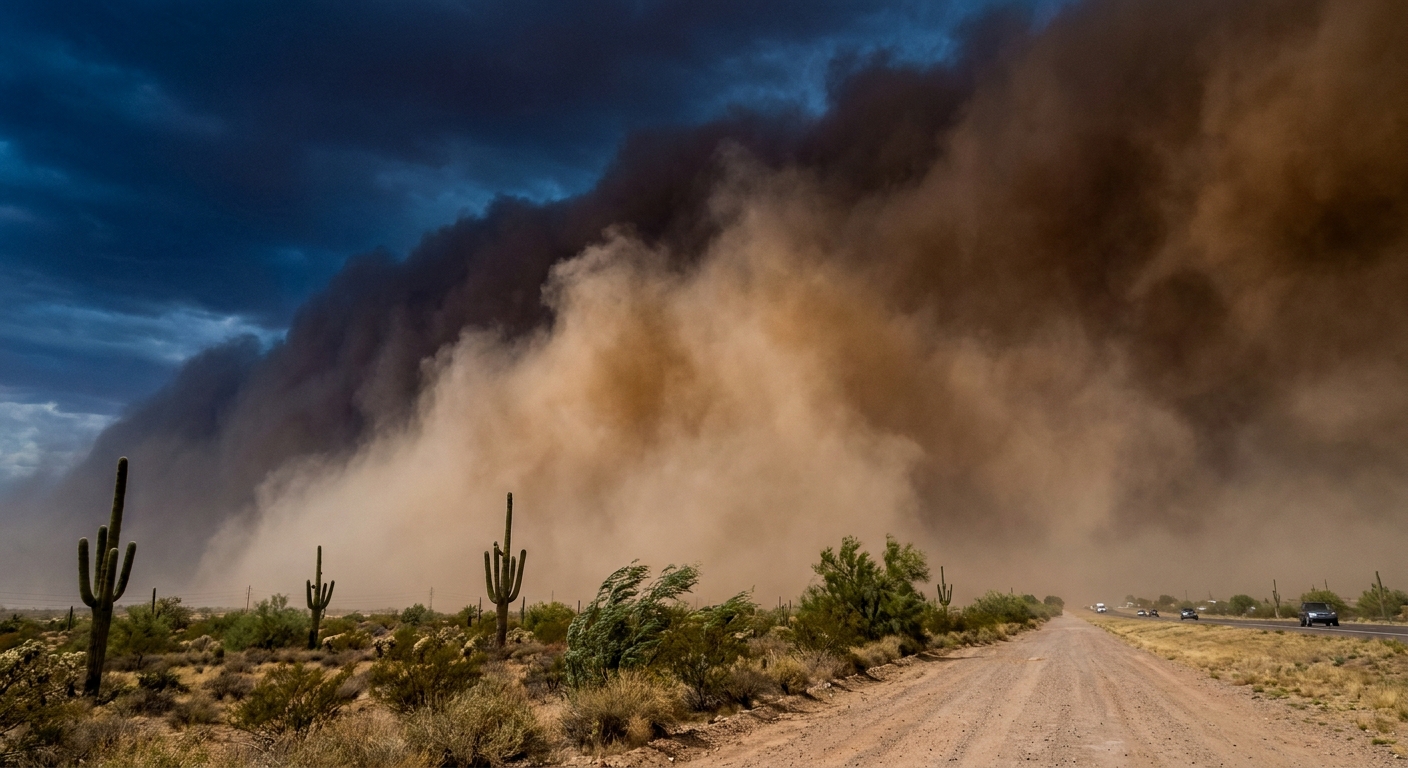
- A dark, uniform wall on the horizon that looks separate from the clouds above it
- Increasing gusts that feel cooler than the surrounding air
- Blowing dust at ground level that rapidly thickens
- Distant thunderstorm activity, sometimes behind the dust wall
If you are in a desert city during thunderstorm season, it can be smart to treat an approaching dust wall like you would treat a fast-moving squall line: plan to pause travel rather than try to beat it.
FAQ
How long does a haboob last?
The worst visibility often lasts minutes to maybe an hour at a given location, but the broader dusty conditions can linger longer as particles settle. The entire event can travel and affect new areas for hours.
Can a haboob happen without rain?
Yes. The outflow that drives a haboob can be produced by storms that rain heavily elsewhere, or by precipitation that evaporates before reaching the ground in very dry air. In that case, you can get wind and dust with little rainfall where you are standing.
Is a haboob a tornado?
No. A tornado is a rotating column of air connected to a thunderstorm updraft. A haboob is primarily an outward-spreading surge of cooler air along the ground that lifts dust. It can look intimidating, but the motion is typically more like a moving front than a spinning funnel.
Why are haboobs common in deserts?
Deserts offer two ingredients that help: lots of loose dust and sand, and dry lower air that enhances evaporative cooling, which can strengthen downdrafts and outflows. Add thunderstorm season, and the setup is ready.
The big picture
A haboob is not mysterious once you know what you are looking at. It is the ground-hugging breath of a thunderstorm, a surge of cooler air that plows forward and turns loose desert soil into a temporary atmosphere of its own. If you remember one thing, make it this: the most dangerous part is often the sudden drop in visibility at the gust front. When the dust wall shows up, the smartest move is usually to stop, shelter, and let it pass.