I used to teach my physics students that “rate” is where the drama lives. A car going 60 miles per hour is one thing. A car going from 0 to 60 in a few seconds is something else entirely. Flash droughts are the climate version of that sudden acceleration. They are droughts defined less by how dry a place eventually becomes and more by how quickly it gets there.
Flash drought, defined
A flash drought is a drought that develops rapidly, often over weeks (and in some cases over a couple of months), when the atmosphere starts pulling water out of the ground and vegetation faster than it can be replaced. The classic recipe includes:
- Unusually high temperatures
- Low humidity (dry air)
- Strong winds and sunny skies that boost evaporation
- Little or poorly timed rainfall
Put those together and you get high evaporative demand, which is a technical way of saying: the air is “thirsty,” and it can yank moisture out of soils and plants at a surprisingly fast pace.
One key point: flash droughts are not a totally separate category from drought. They are a rapid-onset pathway into drought conditions. The speed is what makes them so disruptive.
Why it can happen so fast
Think of the land surface as a bank account of water. Soil moisture is the balance. Rainfall and snowmelt are deposits. Evaporation from soil and transpiration from plants are withdrawals.
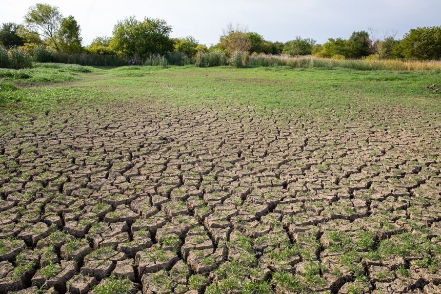
During a flash drought, the withdrawals suddenly spike. Warm air increases the atmosphere’s drying power, and when humidity is low the vapor pressure deficit grows, which raises the pull on moisture from plants and soil. Add sun and wind, and the landscape can lose water like a wet towel left outside on a hot, breezy day.
Even if a region is not deeply rain-starved at the start, a short stretch of intense heat and dry air can crash soil moisture quickly, stressing crops and ecosystems before water managers and farmers have time to react.
Common indicators scientists watch
Because flash droughts move fast, scientists rely on indicators that capture changes over days to weeks, not just seasonal totals. The most common red flags include:
1) Rapid drop in soil moisture
This is the signature. If soil moisture measurements or models show a steep decline over a short window, it is a strong hint that a flash drought may be underway. Satellites, ground sensors, and land-surface models all contribute pieces of this picture.
2) A spike in evaporative demand
Researchers quantify the atmosphere’s drying power using metrics tied to temperature, humidity, wind, and sunlight. One example you may see in research and monitoring is the Evaporative Demand Drought Index (EDDI), which is designed to flag unusually high atmospheric “thirst.” When evaporative demand jumps well above normal, the landscape can dry out even without a huge rainfall deficit.
3) Plants suddenly show stress
Vegetation can be an early warning system. Leaves close tiny pores (stomata) to conserve water, growth slows, and fields can shift from healthy green to duller tones. Satellite-based vegetation indices and ground observations can catch that shift.
4) Falling streamflow and worsening fire weather
Hydrologic impacts can follow quickly in some basins, especially small or fast-responding watersheds. In other places, particularly where groundwater strongly supports streams, the response can lag. At the same time, hot, dry, windy conditions can push regions into elevated wildfire risk.
When flash droughts are most common
Flash droughts tend to pop up most often during the warm season, especially late spring through summer, when sunlight is strong and plants are actively moving water from soil to air. That is also when heat waves are most likely to supercharge evaporative demand.
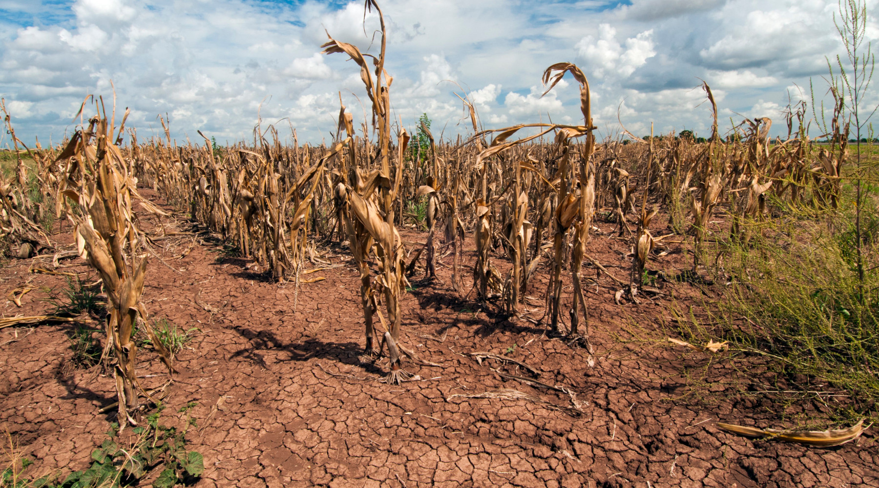
In many agricultural regions, this timing is especially painful. Crops can go from “doing fine” to “in trouble” within a single growth stage, and the window to adjust irrigation plans or planting decisions can be uncomfortably small.
A real-world example
If you want a concrete picture, researchers and forecasters often point to the 2012 U.S. Midwest drought as a case where conditions intensified quickly in parts of the region, with heat and atmospheric demand helping drive rapid impacts on crops. Not every flash drought looks identical, but that kind of abrupt shift is the core idea.
Flash drought vs. regular drought
Slow-developing droughts often build over months as precipitation deficits accumulate. Flash droughts can start with a precipitation shortfall too, but what stands out is the speed of intensification driven by atmospheric demand.
- Slow drought: often a long tightening of the water budget.
- Flash drought: a sudden surge in drying that rapidly drains soil moisture.
In practice, the boundary can be fuzzy. Nature does not label events for us. But the distinction is useful because rapid onset changes what communities can realistically do in time to reduce impacts.
Why flash droughts matter in daily life
The big risk with flash droughts is surprise. Systems that depend on a predictable ramp toward dryness can get caught flat-footed. Common consequences include:
- Agriculture impacts: crop stress, yield loss, higher irrigation demand, livestock heat stress.
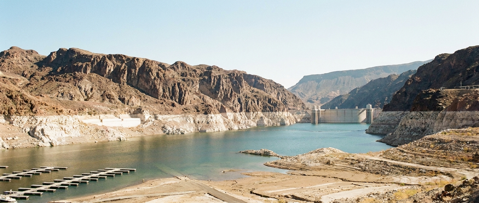
- Water supply strain: sudden increases in outdoor water use, faster drawdown of reservoirs in some regions.
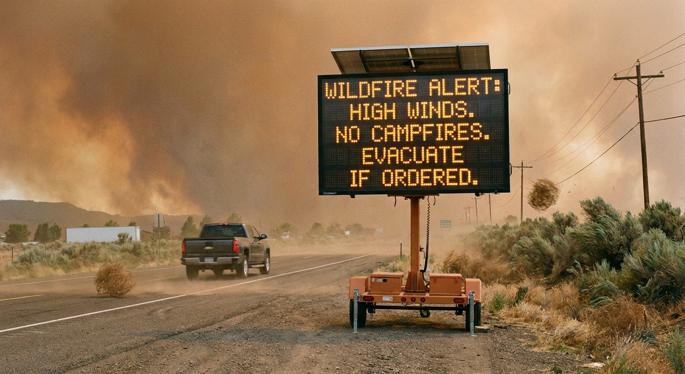
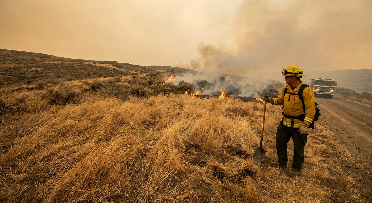
- Wildfire risk: grasses and surface fuels can cure quickly under hot, dry, windy conditions.
- Heat and health: flash droughts often arrive with heat waves, increasing heat illness risk.
Monitoring and forecasts
Flash drought tracking is a team effort across instruments and models:
- Soil moisture monitoring from ground networks and satellite-informed models
- Meteorological data capturing temperature, humidity, wind, and solar radiation
- Drought indices that update quickly enough to detect rapid deterioration
There are real limits, too. Soil moisture sensors are unevenly distributed, satellites infer moisture indirectly, and different models can disagree, especially at local scales. Forecasting remains challenging because flash droughts can be triggered by short-lived weather patterns. Still, improving observations of soil moisture and evaporative demand is making earlier detection more realistic than it was a decade ago.
A quick contrast: megadroughts
Flash droughts intensify in weeks. A megadrought is a very different beast, lasting multi-decadal time spans in many definitions and reshaping water systems over generations. The exact cutoff varies by researcher and region, but the timescale difference is the headline.
Flash drought FAQ
Does a flash drought require zero rain?
No. You can still get some rain and slip into a flash drought if heat, low humidity, wind, and sunshine make the atmosphere pull moisture out of soils and plants faster than that rain can replenish it.
Is a flash drought just a heat wave?
They often overlap, but they are not identical. A heat wave is defined by unusually high temperatures. A flash drought is defined by rapid drying, which can be driven by heat plus low humidity and other conditions that raise evaporative demand.
What is the clearest early sign?
A rapid decline in soil moisture over days to weeks is the hallmark. It often shows up alongside vegetation stress and unusually high evaporative demand.