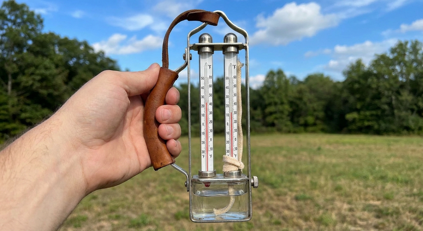
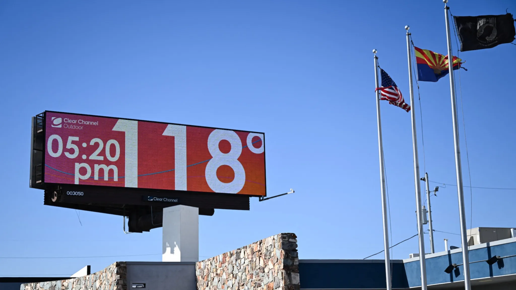
I used to tell my physics students that “hot” is one of the sneakiest words in science. It feels absolute, like it should come with a number, but it is deeply contextual. Walk outside into 92°F air in Phoenix and some people might call it a tolerable warm day. Step into 92°F air in Seattle and you might start wondering whether the pavement is going to soften under your shoes.
That same tug-of-war shows up in weather headlines: what temperature defines a heat wave? The most honest answer is that there is no single national or global number. Forecast offices and public health agencies typically define heat waves using a local threshold, a minimum duration, and sometimes a requirement for unusually warm overnight lows.
The main idea
If you are hoping for a simple rule like “three days above 95°F,” I get it. It is clean and memorable. It is also unfair to large chunks of the map.
Different places have different climates, building styles, and human acclimatization. Meteorologists try to capture that reality by defining extreme heat relative to what is typical in that location and season. That is where percentiles come in.
Percentiles: the local ruler
Many definitions use a threshold based on local historical data, such as:
- 90th percentile: hotter than 90% of comparable days in the historical record
- 95th percentile: hotter than 95% of days, a rarer and more intense event
- 98th or 99th percentile: exceptional heat, sometimes used in heat health warning systems and research
One small but important detail: “comparable days” usually means a seasonal window, for example, compared to other mid-July days (or a several-week window around mid-July) in that same location.
Think of it like grading on a curve. A 92°F afternoon might land in the 98th percentile for a cool coastal city, but be closer to the middle of the pack for a desert city that routinely sees triple digits.
This is why you will sometimes see different agencies use slightly different cutoffs. They are not disagreeing about physics. They are picking different points on the “rare to extreme” spectrum.
Duration matters
Most heat wave definitions require heat to persist. A single spiky hot day can happen because of a brief wind shift, a sunny break between storms, or a one-day burst of downslope warming. Heat waves are about staying power.
Common duration rules include:
- At least 2 consecutive days above a local threshold
- At least 3 consecutive days above a local threshold
- A multi-day average (for example, a 3 to 5 day average exceeding a percentile threshold)
That multi-day requirement is not just semantics. Prolonged heat loads up the environment the way a cast-iron skillet stores heat. Pavement, brick, and soil warm day after day. Your body also accumulates stress if nights stay warm and recovery time shrinks.
Warm nights matter
When I talk with friends about heat safety, I always ask a slightly odd question: “How did it cool off last night?” That is because overnight temperatures often determine whether heat becomes dangerous.
Some heat wave definitions include criteria tied to minimum temperature, not just the afternoon high. You might see requirements like:
- Nighttime lows staying above a local percentile threshold
- Lows above a fixed value (common in some local warning criteria)
- Multiple nights in a row failing to drop below a certain temperature
Warm nights are especially impactful in urban areas because of the urban heat island effect. Concrete and asphalt absorb energy during the day and release it slowly overnight, keeping city temperatures elevated even when nearby rural areas cool more efficiently.

So what is the cutoff?
It depends on the rule your local forecast office or health agency is using. But here is the key point that clears up most confusion:
A heat wave threshold is usually based on what is extreme for that location and time of year, not a single universal number.
That is why the same afternoon reading can count in one city and miss the cutoff in another.
A concrete example
Imagine two places:
- City A has mild summers. Most summer highs are 75°F to 85°F. A 95°F day is rare.
- City B has hot summers. Most summer highs are 95°F to 105°F. A 95°F day is common.
If both cities use a “top 5% hottest days” style definition, 95°F might clear the threshold in City A but not in City B. In City B, the threshold might be well above 100°F, because that is what counts as genuinely unusual there. The exact number depends on the city’s long-term record and the specific season window being used.
The practical outcome is not that City B is “tougher” or City A is “dramatic.” It is that extreme heat is measured relative to local norms so the label signals meaningful risk and unusual conditions for the community.
Humidity and “feels like” heat
Another twist: sometimes the threshold is not based on air temperature alone.
In humid regions, agencies may lean on measures that reflect how the body experiences heat, such as:
- Heat index (an apparent temperature calculated from air temperature and relative humidity, with standard assumptions)
- Wet-bulb temperature (tied to evaporative cooling, often discussed in research and occupational safety)
- Apparent temperature or other comfort indices
This matters because 92°F with high humidity can be more physiologically stressful than 100°F in very dry air, even though the thermometer number is lower. A heat wave definition that includes humidity is trying to track health risk, not just meteorological rarity.
And if you are reading internationally, you may see other indices in common use, such as Humidex (Canada) or UTCI (used in parts of Europe and in research).
Heat wave vs heat dome
You will often hear “heat dome” used in the same breath as “heat wave,” but they are not interchangeable.
A heat dome describes an atmospheric pattern: a strong area of high pressure that can suppress clouds, reduce mixing, and allow heat to build over days. It is a cause or contributor.
A heat wave is typically defined by a local rule, usually some combination of threshold and duration, sometimes with warm-night criteria. It is an outcome.
You can have a heat wave without a classic “dome” setup, and you can have a high-pressure ridge that looks domed on a weather map without every location under it meeting local heat wave thresholds.
Why definitions vary
Heat wave definitions can differ by region and agency because they are built for different purposes. A few common reasons:
- Climate baseline differences: Desert, coastal, mountain, and humid subtropical climates have different “normal” ranges.
- Seasonal timing: A 90°F day in May can be more anomalous than a 90°F day in August in many locations.
- Health vulnerability and acclimatization: Communities adapt, but adaptation is uneven. Housing, air conditioning prevalence, tree cover, and outdoor labor all matter.
- Communication goals: Some definitions are tuned for public warnings and action, others for research consistency.
That last point is worth underlining. In research, percentile-based methods are popular because they apply the same rule across different places and long records, even though the actual temperature tied to (say) the 95th percentile can shift as the climate warms. Some studies also lock the percentile calculation to a fixed historical baseline period to measure change against a stable reference.
Also, not every definition keys off the daily high. Some use the daily low, some use the daily mean, and some combine multiple pieces into one metric.
How to interpret it locally
If you want to decode heat wave language where you live, here are the most useful questions to ask when reading a forecast:
- Is the threshold based on actual temperature, heat index, or both?
- How many days in a row are required?
- Are overnight lows part of the criteria?
- Is this defined relative to normal (percentiles) or by a fixed number?
In the United States, a practical way to ground all this is to check your local National Weather Service office’s criteria for Heat Advisories and Excessive Heat Warnings, since those thresholds vary by forecast area and are designed around local risk.
When those pieces are clear, the label “heat wave” becomes less of a vibe and more of a measurable statement: this is sustained, locally unusual heat, often with reduced nighttime relief.
Quick FAQ
Is there an official U.S. national temperature for a heat wave?
There is no single universal national temperature that defines a heat wave everywhere. Definitions vary by location and by the purpose of the product, such as public health guidance versus climate statistics.
Why do some places call it a heat wave at temperatures that sound normal to me?
Because the threshold is often relative to local climate. A temperature that is common in one region can be rare and disruptive in another, especially if homes and infrastructure are not built for it.
Does climate change affect the definition?
The definition method often stays the same, but what counts as “rare” can shift as the climate warms. That is one reason percentile-based approaches are common in research: the rule can stay consistent while researchers track how the underlying temperature distribution moves over time.
What matters more for safety, the daytime high or the overnight low?
Both matter, but warm nights are a big red flag because they reduce recovery time for the body and keep buildings and cities from cooling down.