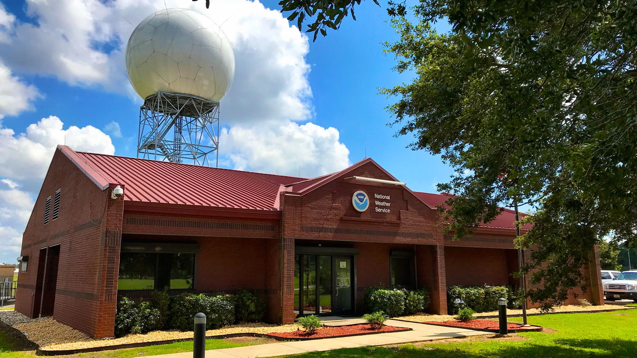
The phrase Red Flag Warning can sound a little mysterious if you do not live in a fire-prone area, but the idea is simple: the National Weather Service (NWS) is saying the atmosphere and the landscape are lining up in a way that makes fires easier to start and much easier to spread.
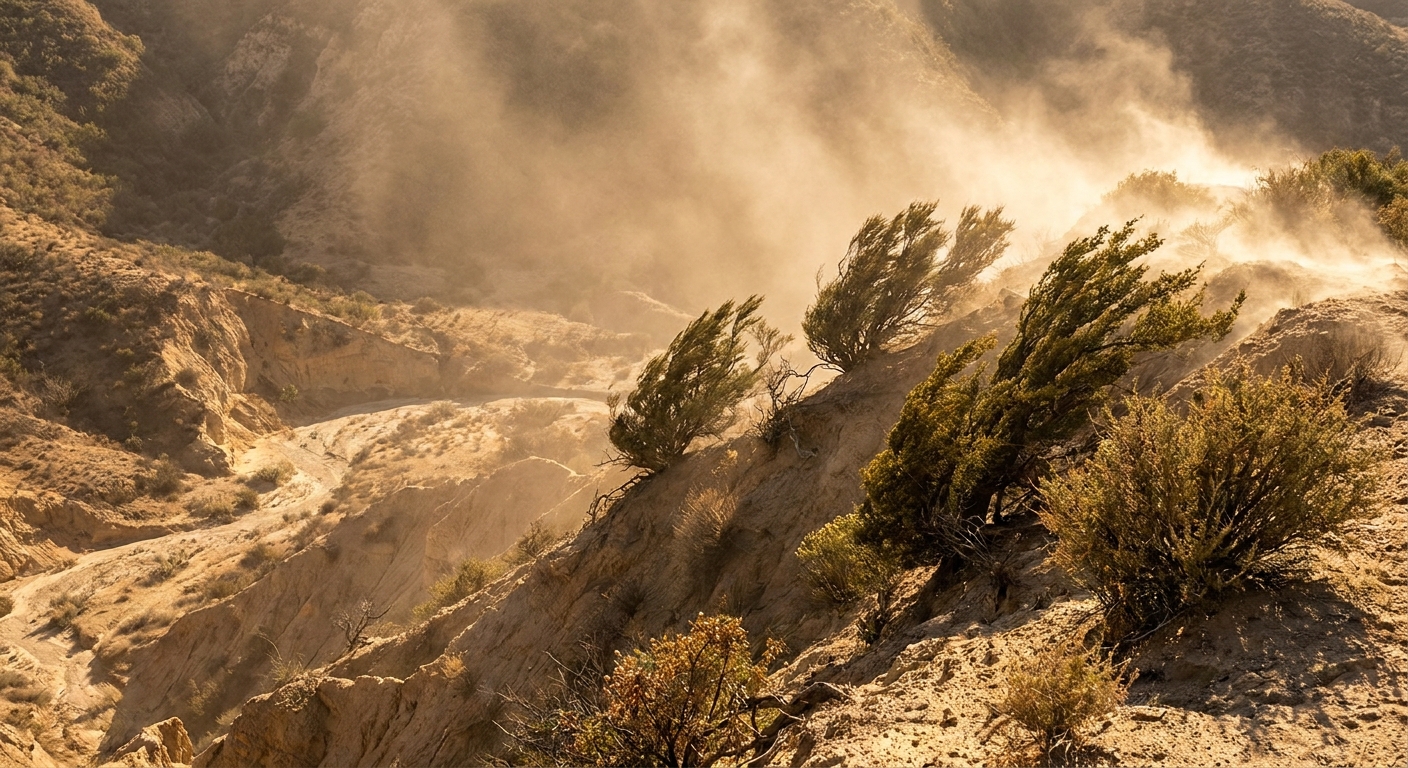
When I taught physics, I used to describe wildfire growth as a messy real-world version of a chain reaction. You do not need a huge spark if the system is already primed. A Red Flag Warning is basically the NWS pointing at the “primed” conditions: strong wind, very low humidity, and dry fuels all expected at the same time.
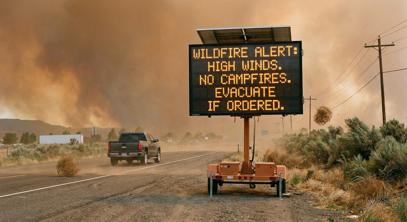
Red Flag Warning, in plain language
A Red Flag Warning is an NWS fire-weather alert issued when critical or near-critical wildfire conditions are occurring now, or are expected soon, across a specific area.
It does not mean a wildfire is happening. It means that if a fire starts, it has a higher chance of spreading quickly and becoming difficult to control.
Think of it like this:
- Wind acts like a bellows, pushing flames forward and blowing embers into new spots.
- Low relative humidity helps grasses, leaves, and small branches dry out faster.
- Dry fuels are the “ready-to-burn” material on the ground and in vegetation, especially fine fuels like grass and brush.
What triggers a Red Flag Warning?
The exact thresholds vary by region because ecosystems are different and local NWS offices set criteria based on their fuels, terrain, and fire history. What counts as “critical” in coastal Southern California is not identical to what counts as “critical” on the High Plains or in the Great Basin.
If you want the exact local criteria, your best bet is your local NWS forecast office website, especially its Fire Weather or Red Flag Warning information for your area.
Also, it is worth saying plainly: numbers alone are not the whole story. Many offices require certain fuel moisture levels, fire danger indices, or coordination with land agencies before a warning is issued.
That said, many Red Flag Warnings are based on a combination of these ingredients, usually for a specific duration:
1) Strong, persistent winds
In many regions, criteria often fall in the range of sustained winds around 20 to 25+ mph and/or gusts around 35 to 45+ mph for several hours. Some areas use different numbers or use knots, especially where downslope wind events are common.
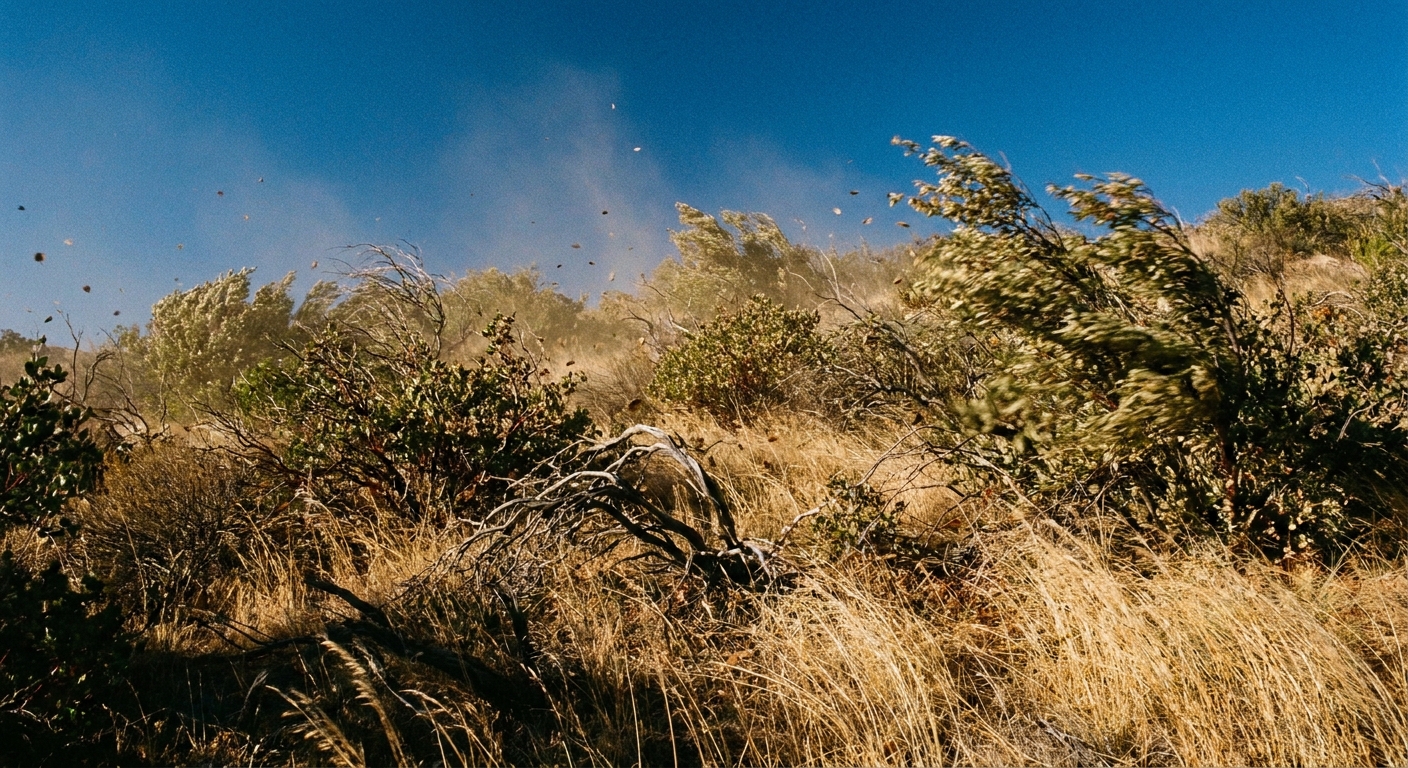
Why wind matters so much is not just the obvious “it pushes flames.” Wind can tilt flames and increase heat transfer into unburned fuels, it can dry fuels faster, and it can loft burning embers far ahead of the main fire. Those spot fires are a big reason wind-driven fires can jump roads, breaks, and lines.
2) Very low relative humidity
A commonly used benchmark in dry regions is relative humidity at or below about 15%, sometimes in a range like 10% to 20%. Other areas may use higher thresholds such as 20% to 25%, or pair humidity with temperature and fuel measurements. The warning focuses on the driest part of the day and how long low humidity is expected to last.
Relative humidity is a measure of how much moisture is in the air relative to temperature, which is why it can drop quickly during a warm, windy afternoon. When it is very low, vegetation and dead fuels lose moisture more easily. Fine fuels, like grasses, can respond in hours.
3) Dry fuels
This is the piece many people do not see, because it is not just a weather number. Forecasters use fuel models and coordinate with land agencies to gauge how dry vegetation is for that area and season. In some places, metrics like 10-hour fuel moisture or fire danger indices are part of the decision.
Dry fuels can include:
- Cured grasses (brown and dry, common in late summer and fall)
- Brush and chaparral during long dry stretches
- Dead leaves, needles, and small twigs that ignite easily
Sometimes you will hear terms like “dry fuels,” “receptive fuels,” or “critical fuel moisture.” The meaning is the same in everyday language: vegetation is dry enough that a spark is more likely to become a fast-moving fire.
Depending on the region, other factors can also raise concern, including dry thunderstorms (lightning with little or no wetting rain) or unusually hot temperatures that help fuels dry out even more.
Watch vs warning
The NWS often uses two main “heads-up levels” for fire weather:
- Fire Weather Watch: Conditions are favorable for critical fire weather, typically in the next 24 to 72 hours. It is an early alert that confidence is growing, but details may still change.
- Red Flag Warning: Critical fire weather is occurring now or is expected soon. Confidence is higher, and the time to take precautions is now.
If you have ever heard the watch versus warning distinction for severe storms, it is a similar concept here. A watch says be ready. A warning says act like it is happening.
What to do during a warning
A Red Flag Warning is not just information for firefighters. It is a public safety message aimed at preventing ignitions and reducing risk while conditions are at their worst.
The big theme is: avoid outdoor burning and anything that can throw sparks.
Outdoor burning
In many areas, a Red Flag Warning lines up with burn restrictions from local or state agencies. The important nuance is that the NWS issues the weather alert, but burn bans and closures are typically set by state, county, tribal, or land-management agencies.
Practical takeaways:
- Do not burn debris piles or yard waste.
- Skip campfires unless you are in a clearly permitted, contained location and local rules allow it. Even then, consider postponing.
- Do not use fireworks.
- Avoid tools that create sparks (some saws, grinders, welding, metal work) especially in dry grass or brush.
- Be careful with vehicles and trailers. A hot exhaust system or dragging chain can ignite dry grass along roadsides.
- Dispose of cigarettes properly. Better yet, do not smoke outside in dry, windy conditions.
Home and neighborhood steps
- Sign up for local emergency alerts and keep your phone charged.
- Review evacuation routes if you live in or near wildland areas.
- Clear quick ignition sources near your home: dry leaves on decks, piles of needles in gutters, dead grass against fences.
- Bring lightweight outdoor items inside if winds are strong enough to toss them into power lines or create hazards.
Also, remember that evacuation orders come from local authorities, not the NWS. If you are told to leave, go, even if it seems calm where you are.
In some regions, extreme fire weather can also bring public safety power shutoffs. If that is a possibility where you live, charge devices early and have a plan for refrigeration, medical equipment, and pets.
Where to check alerts
- weather.gov (your local NWS forecast office page lists active watches and warnings)
- NWS alerts via common weather apps that display official warnings
- Local emergency management and your fire department for evacuations, closures, and local restrictions
- Wireless Emergency Alerts on your phone for urgent, location-based notifications
Where warnings show up
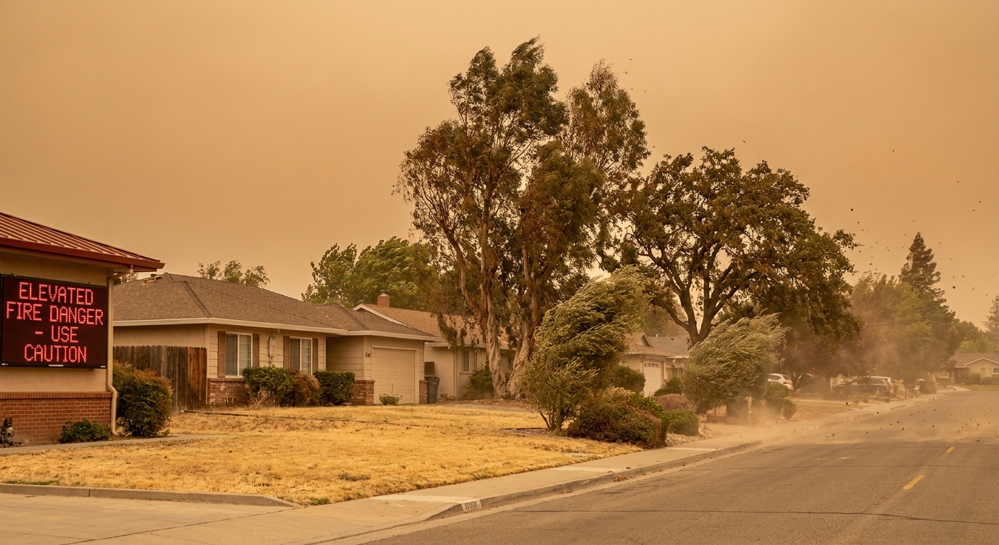
Red Flag Warnings are most common in places that can combine dry vegetation with seasonal wind events or prolonged drought. In the U.S., that often includes parts of the West, the Plains, and the interior Southeast, but they can be issued in many regions when the setup is right.
One important detail: the warning is issued for a specific forecast zone. Your county may be split into multiple zones with different terrain, fuels, and wind patterns. That is why two nearby towns can have different fire-weather alerts.
FAQ
Does a Red Flag Warning mean there is a fire?
No. It means if a fire starts, it can spread rapidly. It is about the potential for extreme fire behavior, not a confirmed incident.
How long does a Red Flag Warning last?
Often it covers the window when the combination of wind, low humidity, and fuel dryness is expected to peak. Sometimes that is an afternoon and evening, sometimes longer. The start and end times are listed in the alert.
Why is humidity such a big deal if it has not rained in weeks anyway?
Even in a dry season, fuels still exchange moisture with the air. When relative humidity drops sharply, fine fuels can become even more flammable, and fire can spread faster. It is one reason fire behavior can change dramatically from morning to afternoon.
What should I do if I smell smoke during a Red Flag Warning?
Take it seriously. Check official local sources, and if smoke is nearby, prepare to leave early if asked. In fast wind-driven fires, time is the resource you never get back.
The short version
A Red Flag Warning is the National Weather Service raising a big, clear signal: strong winds plus low relative humidity plus dry fuels are expected together, creating a high-risk window for wildfire starts and rapid spread.
The most helpful thing most of us can do during that window is also the least dramatic: avoid outdoor burning and spark-producing activities, and stay ready in case a fire does ignite nearby.