Curiosity, with all its quills showing.
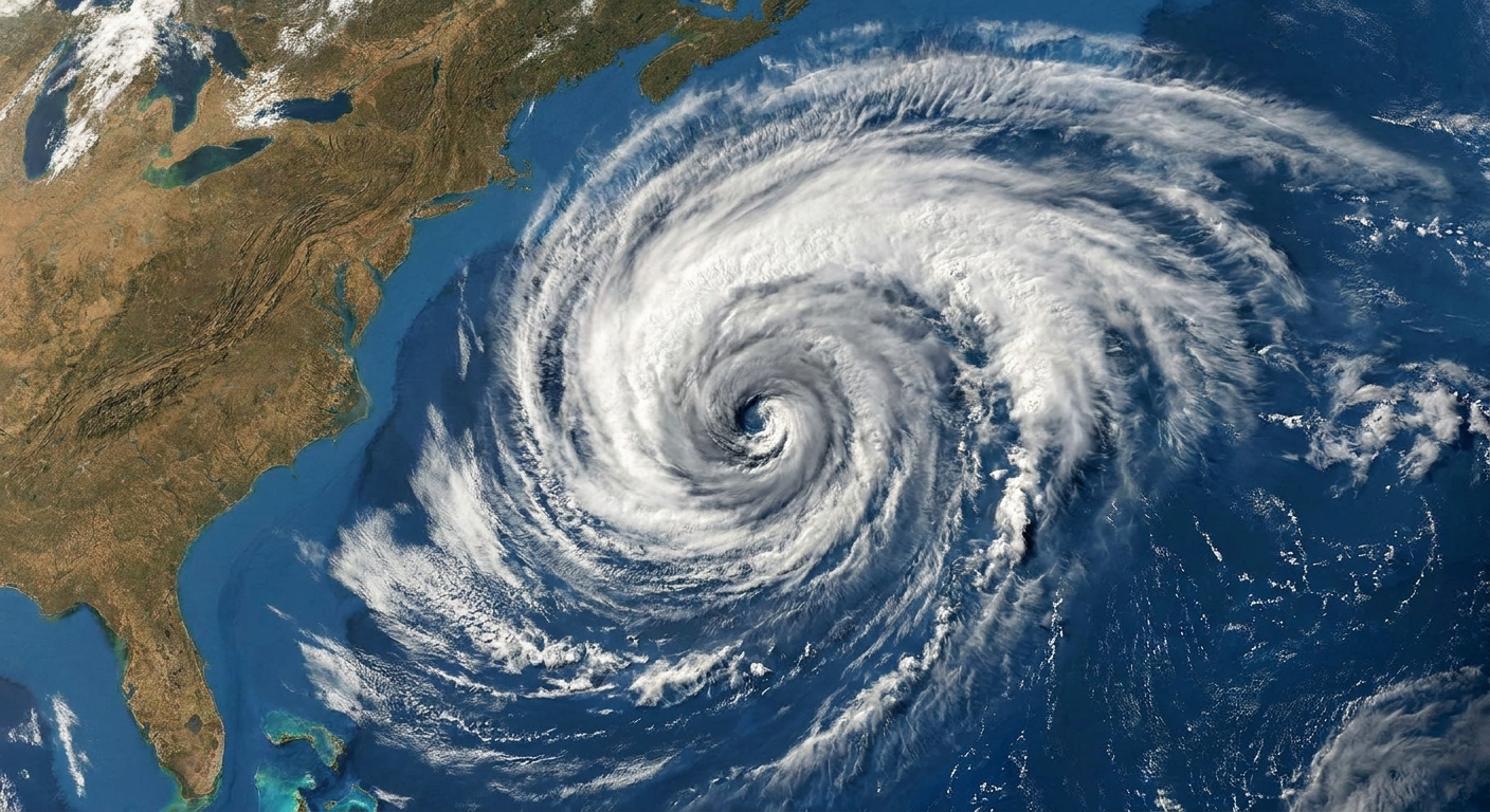
If you have ever checked a forecast and heard a meteorologist sigh, “It’s a cutoff low,” you were listening to a very specific kind of atmospheric problem: an upper-level storm system that has slipped its steering currents. In plainer terms, it has drifted away from the fast flow that usually pushes weather along. It can loiter, spin, and keep sending bands of clouds and precipitation over the same regions long after a typical system would have moved on.
Cutoff low, defined
A cutoff low is a closed low-pressure circulation in the middle to upper atmosphere that has separated from the main jet stream flow. “Cutoff” means it is no longer embedded in the generally west-to-east river of winds that typically steers weather systems along.
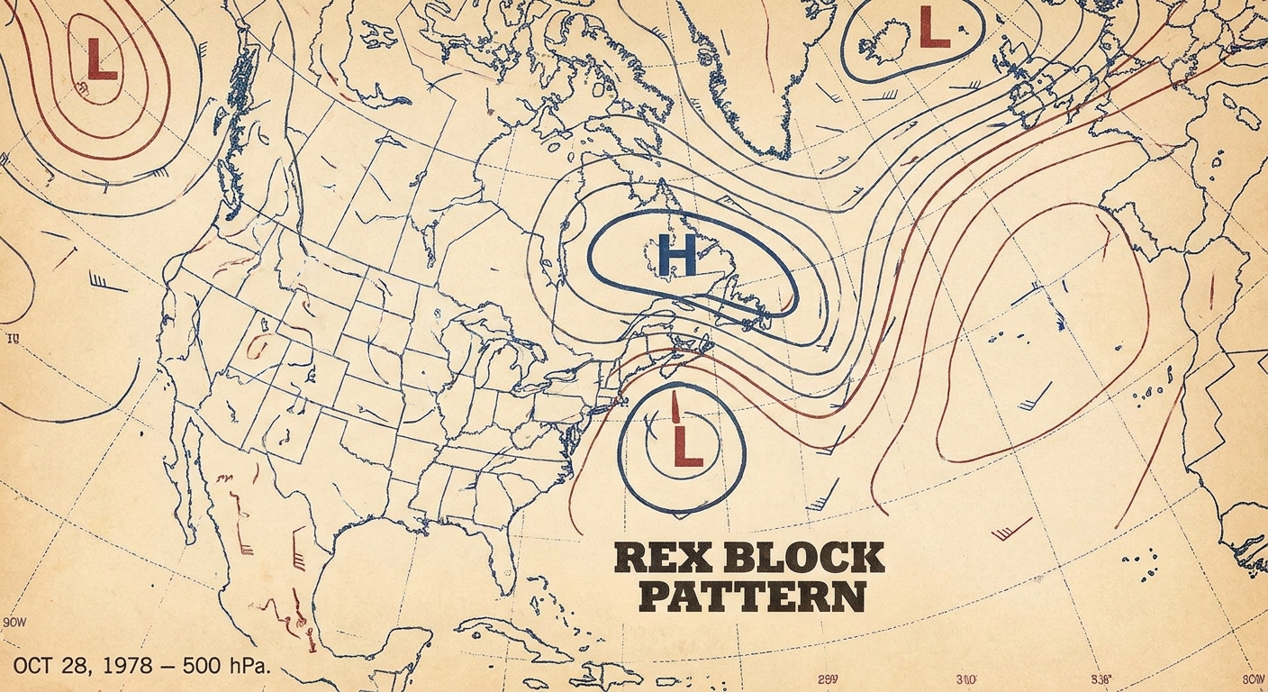
Meteorologists most often identify cutoff lows on upper-air analyses, often near the 500 millibar (mb) level, roughly the mid-troposphere. A quick precision point: on a 500 mb chart you are not looking for “lower pressure” (pressure is fixed at 500 mb). You are diagnosing a closed low in geopotential height, usually paired with a cold-core pocket aloft and a wrapped-up circulation.
On those maps, a cutoff low shows up as:
- Closed contours (a loop) around a center of lower heights, rather than an open wave.
- A pocket of colder air aloft relative to its surroundings.
- A circulation that can be displaced from whatever is happening at the surface.
That last bullet matters in real life: a cutoff low can exist with only a weak surface low, or even just a surface trough. Sometimes a stronger surface reflection develops later if the temperature gradients and moisture below cooperate.
How a cutoff low forms
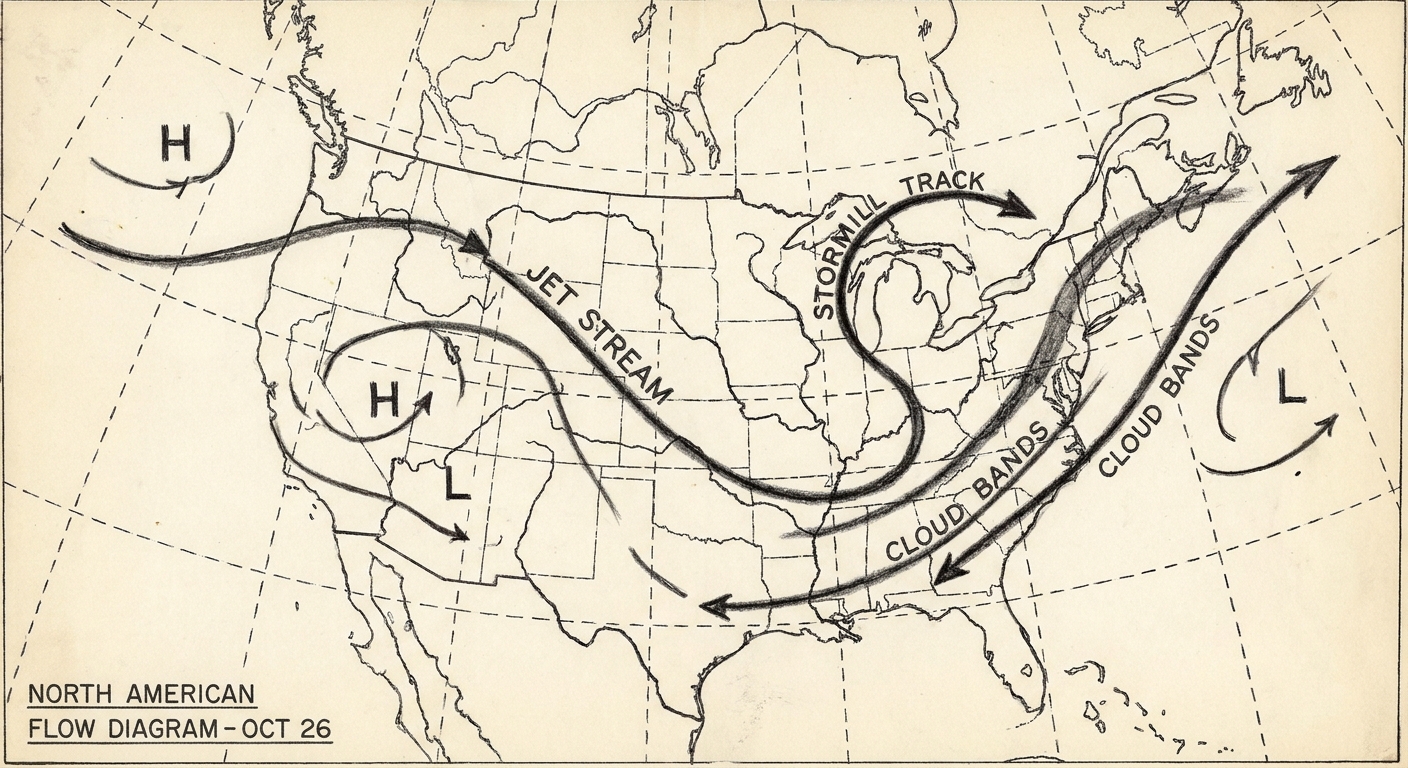
Most cutoff lows begin as an ordinary kink in the jet stream: a trough, or southward dip, in the fast upper-level winds. Under the right conditions, that dip can sharpen and “pinch off,” leaving a self-contained whirl of air.
The pinch-off idea
Picture a ribbon that develops a deep loop. If the loop narrows enough, the main ribbon can reconnect on the other side, leaving the loop isolated. In the atmosphere, something similar can happen when an amplified trough becomes so pronounced that the flow closes off into a separate vortex.
Once the circulation is closed, it is easier for it to behave like its own weather eddy rather than a feature being carried downstream.
Why cutoff lows can sit for days
The jet stream is one of the atmosphere’s primary steering mechanisms. When a low is embedded in the jet, it typically travels with the prevailing flow. When it is cut off from the jet, that guidance weakens.
Cutoff lows often move slowly for a few reasons that can overlap:
- Weak steering winds: The closed low may be surrounded by lighter winds aloft, so there is less push to carry it along.
- Self-contained circulation: A compact vortex can spin in place, drifting only gradually.
- Blocking patterns: Larger-scale ridges and troughs nearby can hem it in, leaving it trapped between more stable features in the flow.
- Model sensitivity: Small differences in where the low is centered can change how it interacts with surrounding winds, which is one reason cutoff-low forecasts can wobble from run to run.
That last point is not about incompetence or mystery. It is about the math of a slowly moving vortex. When a system crawls, tiny timing and position errors have more time to matter. A rain band setting up 50 miles farther west, or arriving six hours earlier, can be the difference between a dreary soak and a minor flood problem in a specific valley.
What weather a cutoff low tends to bring
Because cutoff lows are cold-core systems aloft and can linger, they are often associated with unsettled, persistent weather rather than a quick hit.
Slow, steady precipitation
Many cutoff lows deliver precipitation in a slow rhythm:
- Long-duration rain: Not always torrential, but steady enough to soak the ground over many hours or days.
- High-elevation snow: The colder air aloft can lower snow levels in mountainous terrain, especially in spring or fall setups.
- Showery bands: As the circulation rotates, it can sling bands of precipitation repeatedly through the same corridors.
The practical hazard here is often accumulation. Even moderate rainfall rates add up when they last, especially over saturated soils, burn scars, or terrain that funnels runoff.
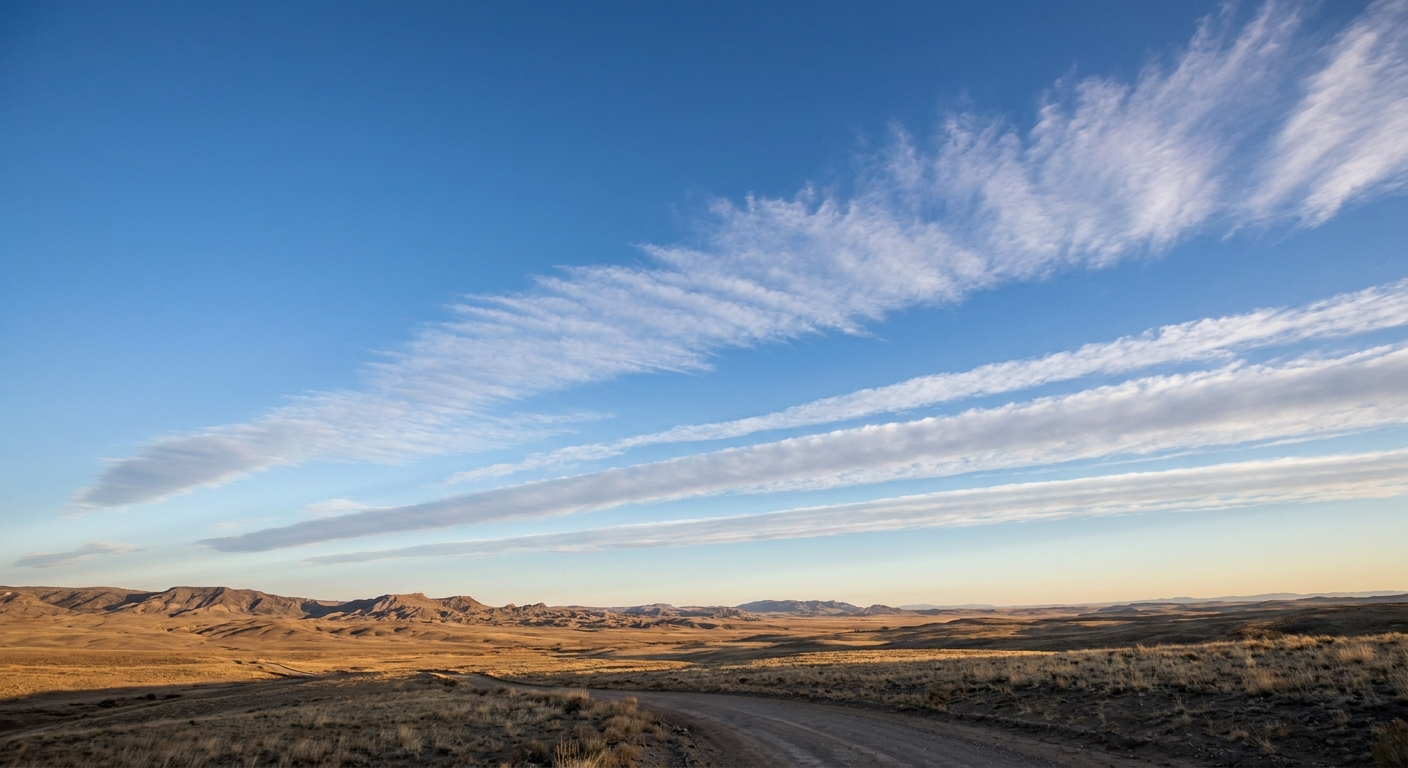
Clouds that refuse to leave
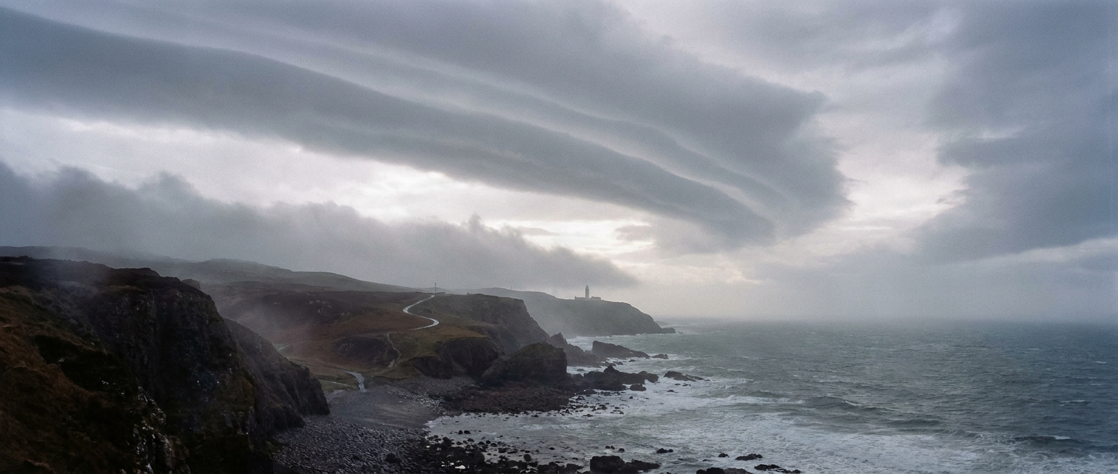
Even when precipitation is spotty, cutoff lows are talented at producing thick cloud decks and gloomy days. The most persistent clouds and showers often set up near and east to northeast of the center, but there is no single guaranteed quadrant. Where the lift maximizes depends on the deformation zone, upper-level diffluence, moisture supply, surface boundaries, and terrain.
Thunderstorms in the right season
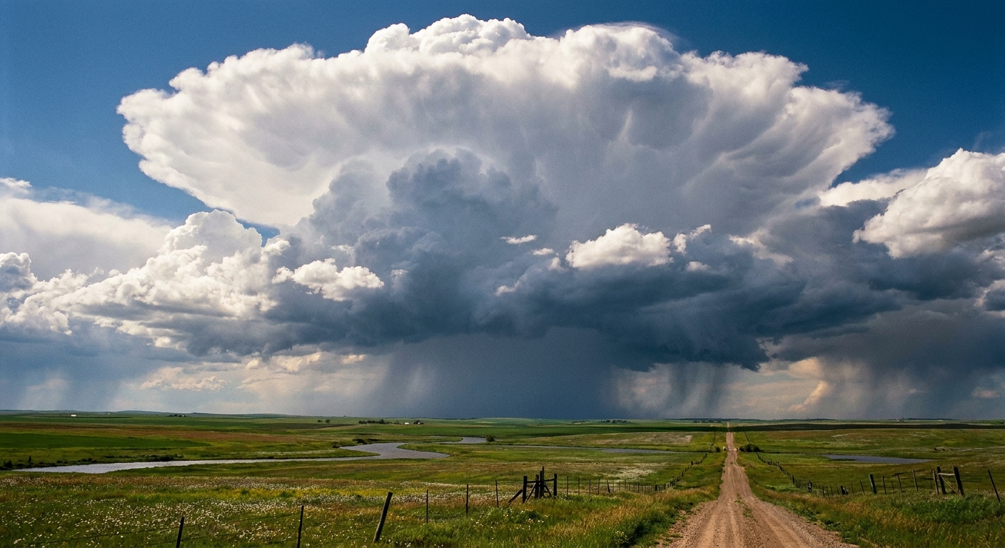
A cold pool aloft can steepen lapse rates, which can help spark showers and thunderstorms if low-level moisture is available. These storms are often scattered and terrain-influenced, but they can be slow movers because the larger system is slow.
Wind and fire-weather edges
Not every cutoff low is a wind story, but some bring gusty conditions along their periphery, especially where pressure gradients tighten between the low and a nearby high. In drier regions, that can occasionally overlap with low humidity, raising fire-weather concerns even while other areas are dealing with showers.
How it looks on common weather maps
Even if you never touch an upper-air chart, you can often recognize the signature of a cutoff low in map products shared online.
On 500 mb height maps
Look for a closed loop in the height contours, often with a bullseye of lower heights inside. That loop is the cutoff circulation.
On water vapor satellite imagery
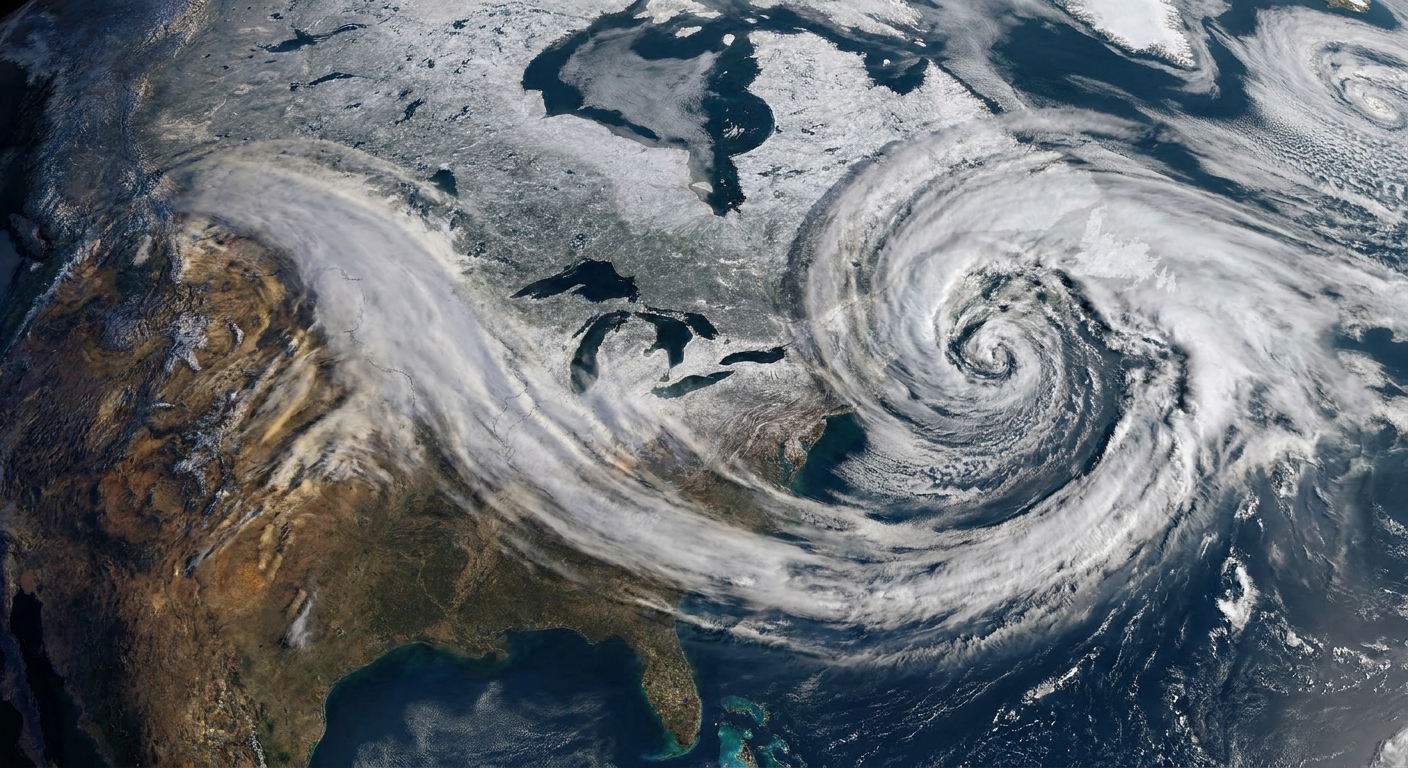
Water vapor views can show a classic comma or pinwheel shape aloft, sometimes with a dry slot wrapping around the center. The swirl can look surprisingly crisp when the low is mature.
On precipitation forecasts
Instead of a narrow stripe of rain racing east, you may see a broader blob of precipitation that lingers or rotates around a center. The bullseye might shift from day to day, but it is often in the same general region.
Cutoff low vs. shortwave trough
This is the heart of the confusion, because both features live in the middle and upper atmosphere and both can cause unsettled weather. The difference is mainly about structure and movement.
A shortwave trough
A shortwave trough is a smaller-scale ripple in the larger flow. It is usually an open wave in the height contours, not a closed loop. Because it remains embedded in the prevailing winds aloft, it tends to move along with the jet stream.
- Shape: Open kink or dip.
- Steering: Carried by the jet and surrounding flow.
- Timing: Often hours to a day or two, though it can be slower in weak flow.
A cutoff low
A cutoff low is a closed circulation that has separated from the main jet. It can drift, wobble, and stall, repeatedly affecting the same area.
- Shape: Closed loop around a center.
- Steering: Weak, indirect, or dominated by nearby blocking patterns.
- Timing: Can influence weather for multiple days.
In plain terms: a shortwave is a ripple sliding down the river. A cutoff low is an eddy that has spun off into quieter water.
Why forecasters watch cutoff lows
Cutoff lows sit at an awkward intersection of big enough to matter and slow enough to be fussy. A slight change in the low’s path can shift who gets persistent rain, who gets late-season mountain snow, and who sits under stubborn cloud cover.
They also tend to produce weather with long duration. Even moderate rainfall rates can become a flooding issue when they repeat over the same watershed for days.
Quick questions
Is a cutoff low the same as a low-pressure system?
It is a kind of low-pressure system, but the phrase usually means an upper-level low that has become detached from the jet stream. Many everyday lows mentioned in casual forecasts refer to features closer to the surface. Cutoff lows are specifically about the circulation aloft.
Do cutoff lows always bring heavy rain?
No. They often bring persistent precipitation, which can be light to moderate much of the time. Some cutoff lows produce heavy bursts, especially where terrain, thunderstorms, or a surface boundary enhances lift, but their signature is frequently duration rather than peak intensity.
Can a cutoff low produce snow?
Yes, especially in cooler seasons or at higher elevations. A key ingredient is the cold air aloft associated with many cutoff lows, which can lower snow levels compared with a milder system.
How does a cutoff low end?
Usually in one of two ways: it gets picked back up by stronger winds aloft and absorbed into the broader westerly flow, or it fills and weakens as the cold pool aloft moderates and the circulation loses organization.
The takeaway
A cutoff low is an upper-level low that has broken away from the jet stream’s main current. That detachment is why it can loiter, why forecasts can be sensitive to small shifts, and why it so often delivers slow, stubborn weather: lingering clouds, rotating bands of rain, and sometimes mountain snow. A shortwave trough, by contrast, stays connected to the flow and usually keeps moving.
When you hear cutoff, think unsteered. The atmosphere has spun off a wandering whirl, and it may take its time deciding where to go next.