Curiosity, with all its quills showing.
“Cold wave” sounds like a clean, universal label, like a hurricane category. In practice, it is a more local, evidence-based idea: cold that is unusual for that place and that time of year, often persistent enough to strain bodies, pipes, power systems, and winter road plans.
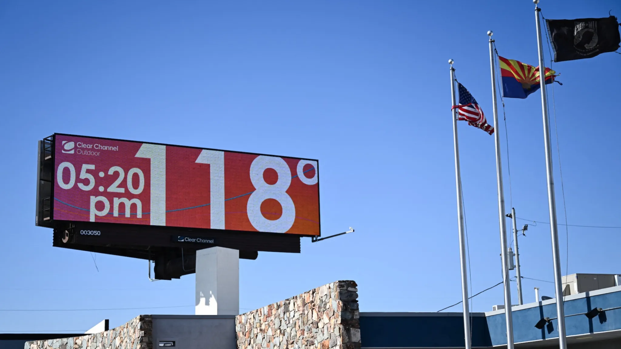
That local focus is why a “cold wave” in Phoenix does not need the same thermometer reading as a “cold wave” in Minneapolis. Meteorologists typically anchor the definition to percentiles of a location’s historical temperatures, combine it with a minimum duration, and often pay close attention to rapid drops over about 24 hours, which can be as hazardous as the final low.
The key idea: unusual cold, not a magic number
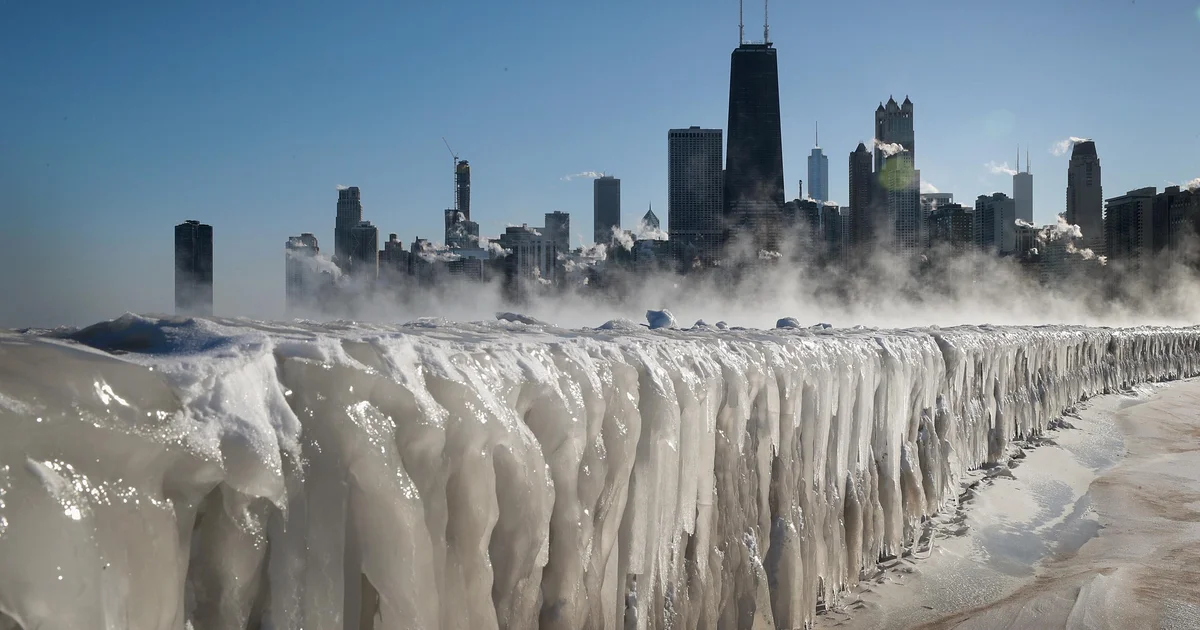
There is no single global temperature that flips “cold spell” into “cold wave.” Instead, operational meteorology and climate research often define cold waves as statistically unusual cold relative to local climate normals. That phrasing matters because it builds in three realities:
- People and infrastructure acclimate locally. Buildings, crops, and even daily habits are tuned to typical winter weather for that region.
- Season matters. A temperature that is routine in January could be exceptional in October or March.
- Impacts depend on context. Wind, humidity, cloud cover, snow on the ground, and duration can change risk dramatically.
So when you hear “cold wave,” think: an anomalously cold event that is cold enough, and long enough, to stand out against what is normal there.
How meteorologists set thresholds
1) Local percentile thresholds
A common approach is to compare temperatures during the event to a long historical record for the same location and time of year. The event may qualify when temperatures fall below a chosen percentile, such as the 10th percentile, 5th percentile, or even 1st percentile of daily temperatures for that date range.
Percentiles are useful because they automatically adjust for climate. “Below the 5th percentile” means “colder than 95 percent of comparable days,” whether you live on the Gulf Coast or in the northern Plains.
2) Duration requirements
Cold that is unusual but brief is often treated differently than cold that lingers. Many definitions require a minimum run of cold days, commonly at least 2 to 3 consecutive days meeting the threshold. Some studies use longer windows, especially when the goal is to capture public health impacts, which can accumulate over time.
3) Rapid drops over about 24 hours
Operationally, forecasters also watch for the rate of change, not only the final low. A sharp fall in temperature over roughly 24 hours can create hazards that a gradual cool-down might not, including:
- Flash freezing on roads if temperatures cross below freezing after rain or melting snow.
- Bursts of demand on heating and power systems when people suddenly turn on backup heat.
- Exposure risk when wind and temperature drop faster than people adjust plans and clothing.
Because this “drop” criterion varies widely by climate zone and agency practice, you will often see it described qualitatively in forecasts, even when the cold wave label itself is not strictly triggered by a single number.
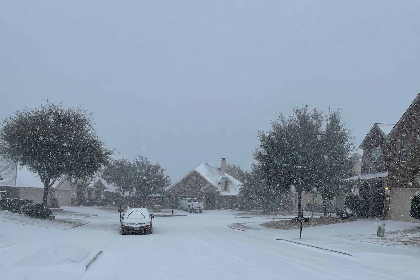
Cold wave vs cold snap vs Arctic outbreak
These terms overlap, and they are not regulated like official storm categories. Still, they usually carry different implications.
Cold snap
A cold snap is generally a short-lived burst of colder-than-normal air. Think “a few days” rather than a sustained stretch. In everyday use, it is the casual term you use when the cold is noticeable but not necessarily extreme by local standards.
Cold wave
A cold wave usually implies both anomaly and persistence. It is the term that more often aligns with percentile thresholds and multi-day duration. A cold snap can be a cold wave if it is intense and persistent enough, but many cold snaps do not rise to that level.
Arctic outbreak
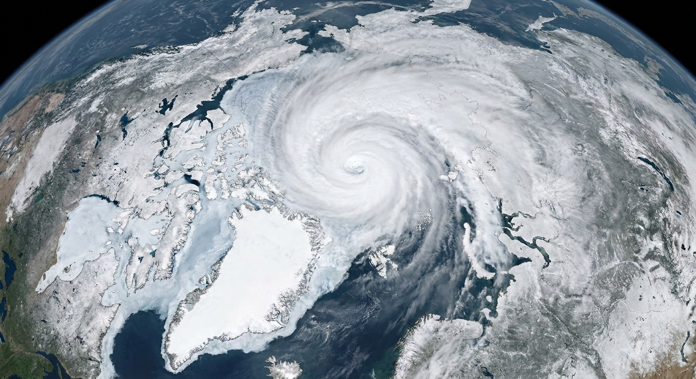
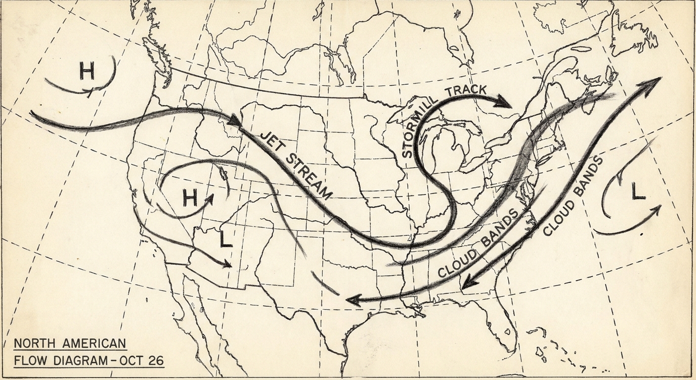
An Arctic outbreak describes the source and character of the air mass as much as the local anomaly. It typically means very cold, dense air of Arctic origin pushing into lower latitudes. An Arctic outbreak can produce a cold wave, but “Arctic outbreak” emphasizes the meteorological setup and air mass origin, while “cold wave” emphasizes local rarity and duration.
One extra twist: some places can experience an Arctic outbreak that feels punishing but is not statistically rare for midwinter there. In that case, “Arctic outbreak” might be the better descriptor even if “cold wave” is debated.
What forecasters communicate
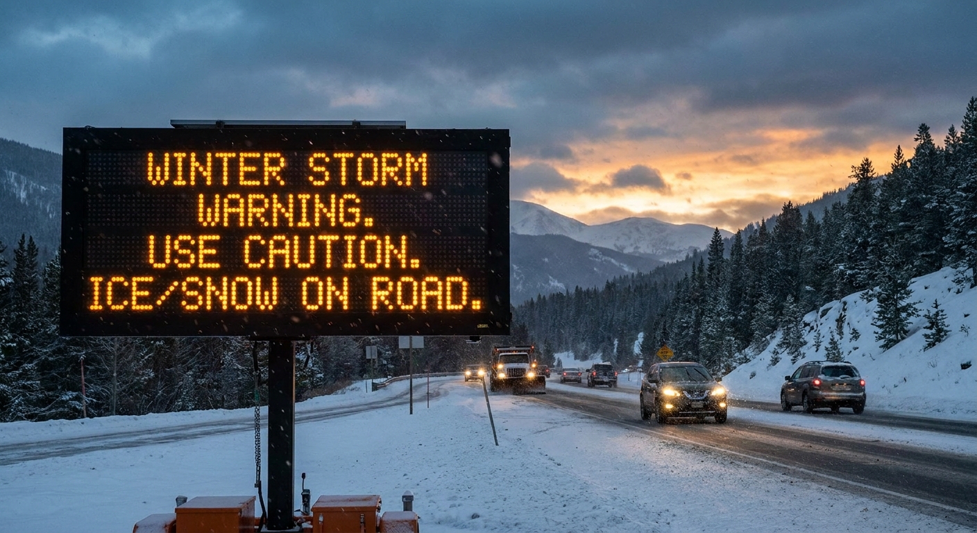
In the United States, public-facing cold hazard messaging is typically built around the expected impact rather than whether the event meets an academic cold wave definition. Instead of issuing a “cold wave warning,” agencies commonly use products such as:
- Wind Chill Advisory or Wind Chill Warning, when wind makes skin-cooling dangerous.
- Extreme Cold Warning, when very low temperatures and wind chills pose life-threatening risk.
- Hard Freeze Watch/Warning or Freeze Warning in regions where subfreezing temperatures threaten agriculture, plumbing, and sensitive infrastructure.
Criteria for these products are local. A wind chill value that triggers an advisory in one forecast office might be routine in another. That local tailoring is the same logic behind percentile-based cold wave definitions: risk is tied to what a community is prepared for.
Why duration and nighttime lows matter
For human health and infrastructure, the most important part of many cold events is not the daytime high that makes the headlines. It is the overnight low, especially when it repeats for multiple nights.
- Health impacts accumulate. Long exposures increase hypothermia risk, and cold stress can be dangerous for people with limited heating, poor insulation, or outdoor jobs.
- Pipes and buildings cool through. A single cold night might not freeze plumbing in a well-insulated building, but multiple nights can.
- Snowpack feedbacks. Snow on the ground reflects sunlight and cools the near-surface air, helping cold persist.
That is why many definitions focus on consecutive days, and why advisories often highlight “multiple nights of dangerous wind chills” rather than a single minimum temperature.
A simple way to think about it
If you want a practical mental model that matches how the science is usually framed, a cold wave tends to check most of these boxes:
- Relative threshold: temperatures are unusually low for that location and time of year, often expressed via percentiles.
- Persistence: the cold lasts multiple days, commonly 2 to 3 or more.
- Change matters: a rapid drop over about 24 hours can raise hazards even before the coldest night.
- Impacts drive messaging: public advisories focus on wind chill, extreme cold risk, and freeze impacts.
Curiosity likes clean labels. Weather prefers gradients. “Cold wave” lives in that middle ground: defined enough to be studied and communicated, flexible enough to stay honest about local climate.
FAQ
Is there an official definition of a cold wave?
There is no single worldwide, legally binding definition. Many research and meteorological definitions use percentile thresholds and minimum duration, but agencies more often issue impact-based cold products rather than a “cold wave” declaration.
Can a cold wave happen without snow?
Yes. Snow can help cold persist, but cold waves can occur under clear skies and dry air as well. The defining feature is unusual cold, not precipitation.
Does “Arctic blast” mean the same thing as “Arctic outbreak”?
“Arctic blast” is informal and often used in headlines. “Arctic outbreak” is closer to a meteorological term describing the intrusion of Arctic-origin air. Either can overlap with a cold wave if the event is unusually cold and lasts long enough locally.
Why do advisories mention wind chill so often?
Wind chill estimates how quickly exposed skin loses heat under windy conditions. It is a better indicator of frostbite risk than air temperature alone, so wind chill thresholds are commonly used for advisories and warnings.