I used to tell my physics students that weather is basically fluid dynamics with a flair for drama. And few things stir up more confusion than the words funnel cloud and tornado. They can look similar, they can evolve from one to the other, and sometimes the most important part is the part you cannot clearly see.
Here is the standard meteorological distinction: a funnel cloud is a rotating funnel-shaped cloud that is not in contact with the ground. A tornado is a rotating column of air that is in contact with the ground, even if the visible funnel does not fully connect cloud to surface.
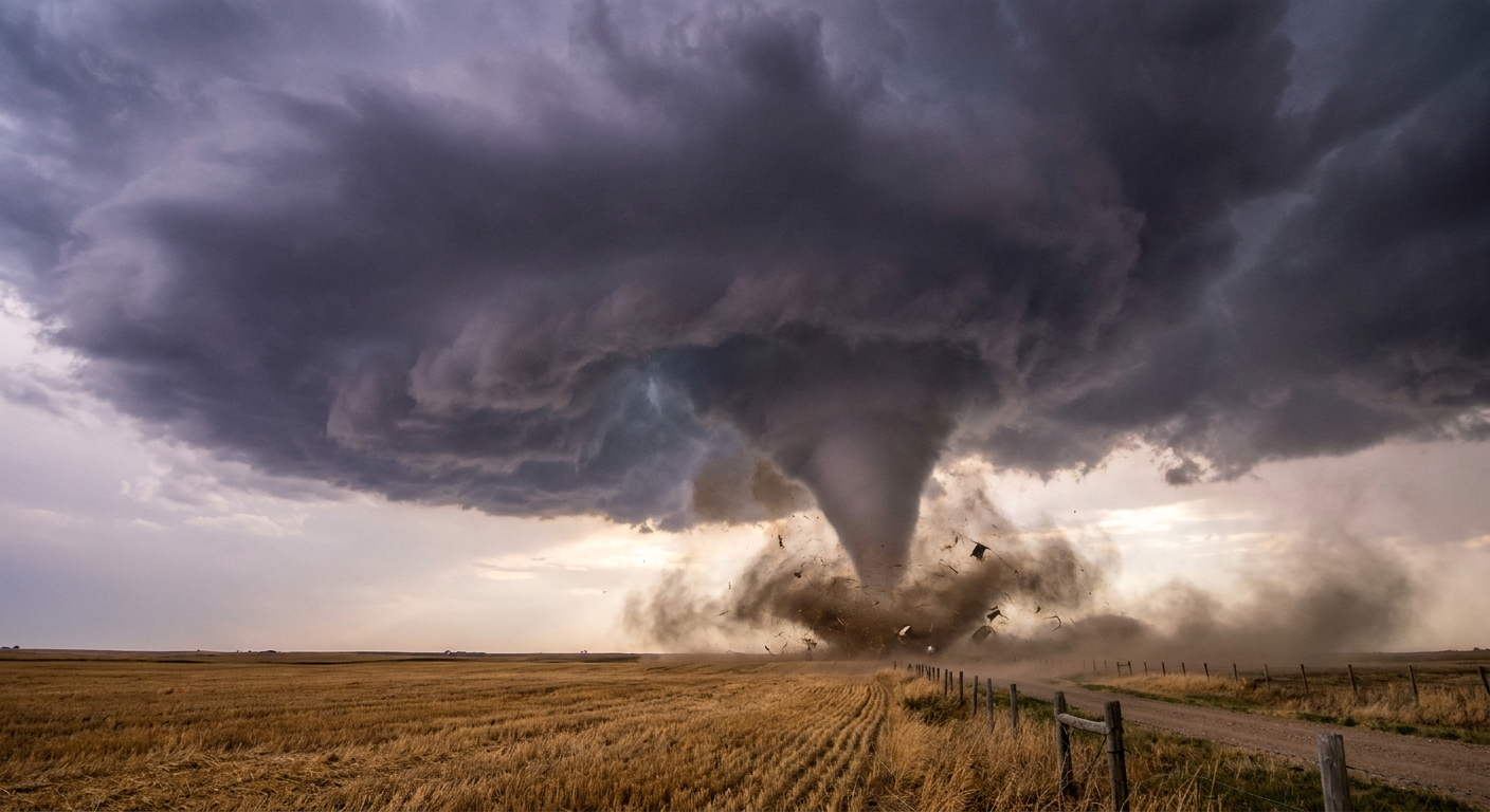
The one-sentence difference
Funnel cloud: rotating condensation funnel that stays aloft.
Tornado: rotating circulation that reaches the ground, either as a visible condensation funnel, a debris cloud, or both.
This sounds simple, but nature loves messy edges. Visibility changes, rain wraps around the circulation, and sometimes the condensation funnel forms only partway down, especially in drier or high-based storms where the air near the ground is less humid.
What a funnel cloud is
A funnel cloud is what you get when rotation inside a thunderstorm becomes organized enough that pressure drops and air cools, allowing water vapor to condense into a visible, tapered funnel. Think of it as the storm briefly revealing the shape of the spinning air by painting it with cloud droplets.
Two key points that are easy to miss:
- It is rotating air first. The cloud is just condensation making that rotation visible.
- It does not have to be a tornado to look scary. A well-defined funnel can hang in the air and never touch down.
Can funnel clouds be dangerous?
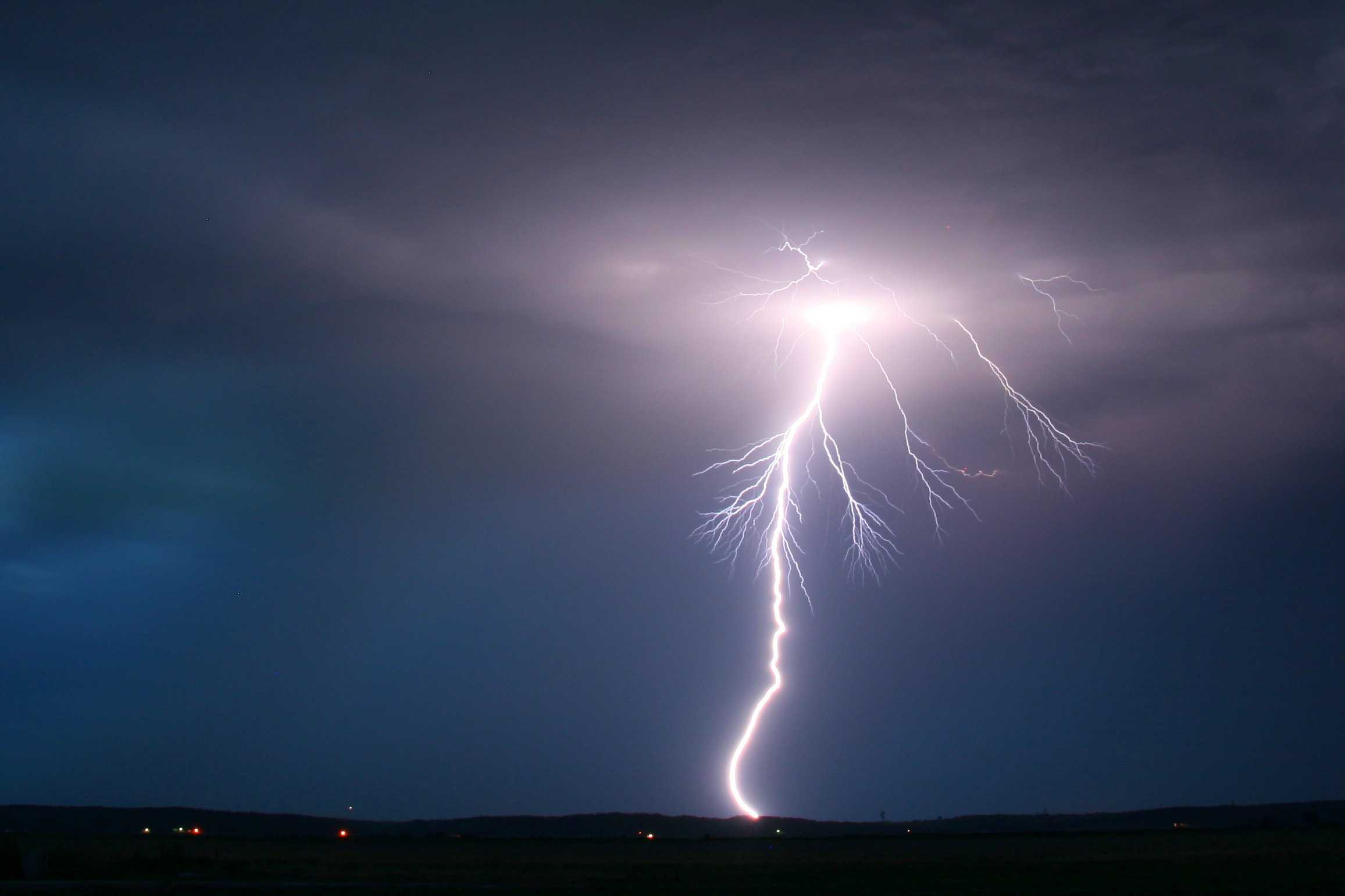
Yes. First, because they can develop into tornadoes quickly. Second, because the thunderstorm producing them can also bring hazards like lightning, large hail, and intense straight-line winds. If an official warning is issued for your area, take the warning seriously even if you do not see anything dramatic out the window.
What makes a tornado a tornado
A tornado is a rotating column of air in contact with the ground. Not size. Not how photogenic it is. Not whether it looks like a classic cone.
And here is the detail most people do not realize until it matters: a tornado can be occurring even if you cannot see a continuous funnel reaching the ground. Visibility depends on moisture, lighting, and whether rain is wrapping around the circulation.
Debris can be a clue
If you see dust, leaves, or debris rotating at ground level beneath a lowering cloud base, treat it as a tornado threat and get to shelter. In many cases, that surface debris is the giveaway that the circulation is on the ground.
One caveat worth knowing: not every rotating dust swirl is tornadic. Some are brief vortices along an outflow boundary (often called a gustnado) and are not connected to the storm’s main rotating updraft. From a safety standpoint, the advice stays the same: do not try to sort it out up close.
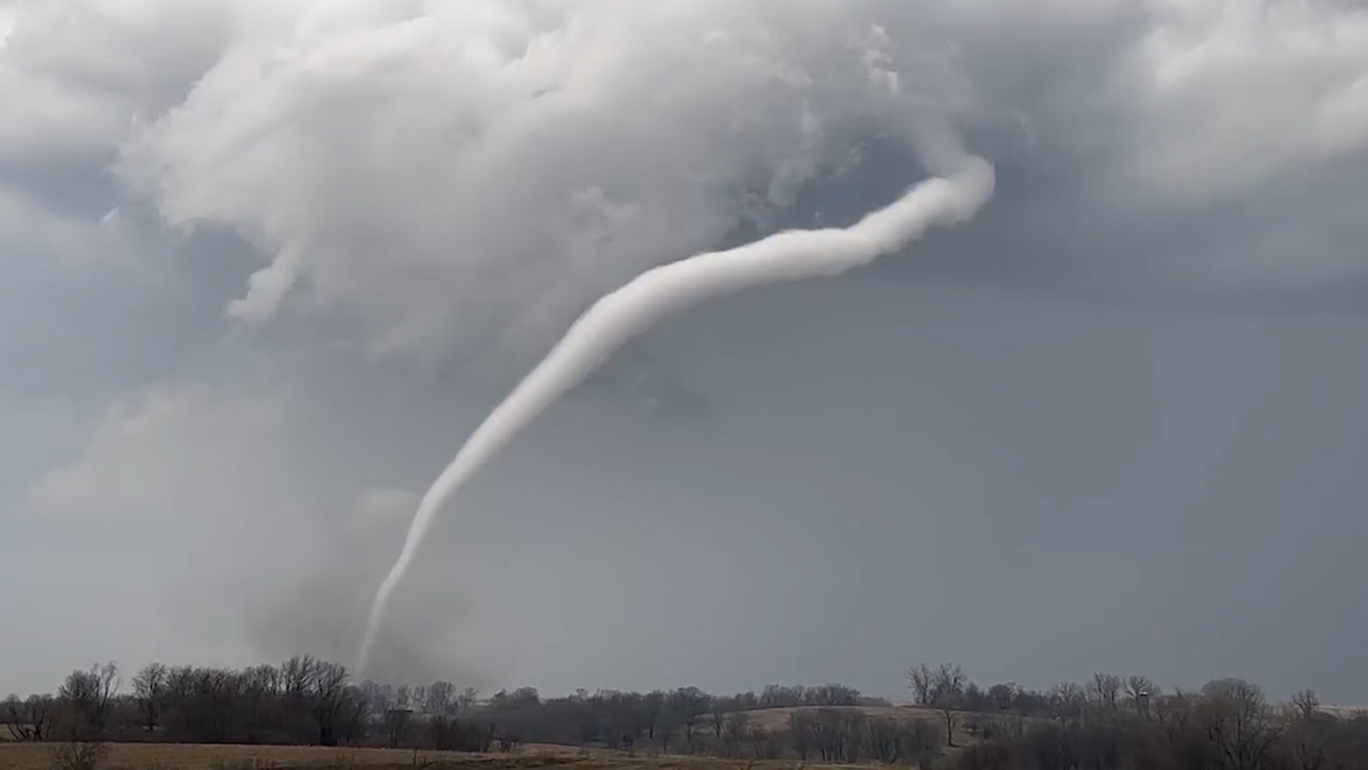
Why the funnel may not reach the ground
In many tornadoes, the swirling air column is present from cloud to ground, but condensation only forms where the air cools enough. That cooling is tied to pressure drop and humidity.
So you can get situations like:
- Tornado with a partial funnel: the circulation is on the ground, but only part of it is painted by condensation.
- Dusty tornado: the most visible part is near the ground because it is picking up dirt and debris.
- Rain-wrapped tornado: the circulation is partially or fully hidden by precipitation.
Spotting cues from a safe place
I am going to be very direct here. You do not need to be close to identify these. In fact, distance and shelter are your friends.
Clues that suggest a funnel cloud
- A tapered, rotating funnel clearly hanging beneath the cloud base
- No rotating debris at the ground beneath it
- It stays elevated, sometimes thinning or retreating back into the cloud
Clues that suggest a tornado
- Swirling debris or dust at the ground, especially directly beneath a persistent lowering from the storm base
- A condensation funnel that appears to connect from cloud base to the ground
- Organized, persistent rotation near the ground that lines up with the storm’s main lowering, not just a fleeting swirl racing along the leading edge of cool outflow
A common gotcha: the invisible tornado
In low light, heavy rain, or when the circulation is wrapped in precipitation, you might not see a classic funnel at all. That is one reason meteorologists rely on radar signatures, trained spotters, and multiple reports.
Quick note on wall clouds
A wall cloud is a localized lowering under a thunderstorm’s rain-free base. Not all wall clouds produce tornadoes, but many tornadoes form near or beneath one. If you see a rotating lowering, treat it with respect, and default to official warnings over visual guesswork.
Safety note
If you are close enough to debate funnel cloud versus tornado in real time, treat it like a tornado threat and prioritize safety. The atmosphere does not issue labels before it acts.
- Get to sturdy shelter, ideally a basement or small interior room on the lowest floor.
- Stay away from windows.
- Do not rely on seeing it. Many dangerous tornadoes are hard to spot.
Quick FAQ
Does a funnel cloud always become a tornado?
No. Many funnel clouds never touch down. They can weaken, lift, or get disrupted by changing winds in and around the storm.
Can there be a tornado without a funnel cloud?
Yes. You can have a tornado where the condensation funnel is faint or absent, but ground contact is visible through rotating debris, dust, or spray.
If the funnel is not touching the ground, is it definitely not a tornado?
Not necessarily. The visible condensation might not reach the ground even when the circulation does. A debris cloud or confirmed ground rotation is the key.
Is a waterspout a tornado?
Sometimes, yes. A tornadic waterspout is essentially a tornado over water, associated with a rotating thunderstorm. A fair-weather waterspout usually forms differently and is typically not tied to a mesocyclone, even though it is still a rotating column in contact with the water surface. Either way, it is a serious hazard for anyone on the water.
Should I use damage ratings to decide if it was a tornado?
No. Damage ratings are assessed after the fact. Identification in the moment is about observed circulation and ground contact, not how much damage occurs.
The takeaway
If you remember nothing else, remember this: a funnel cloud is rotation you can see that has not reached the ground. A tornado is rotation that is on the ground, sometimes obvious as a full funnel, and sometimes only obvious because the ground is throwing dust and debris into the spin.
And as someone who still gets a little awestruck watching storm structure from a safe distance, I will add one last thing: the atmosphere is allowed to be complicated. Your job is not to label it perfectly. Your job is to stay safe.