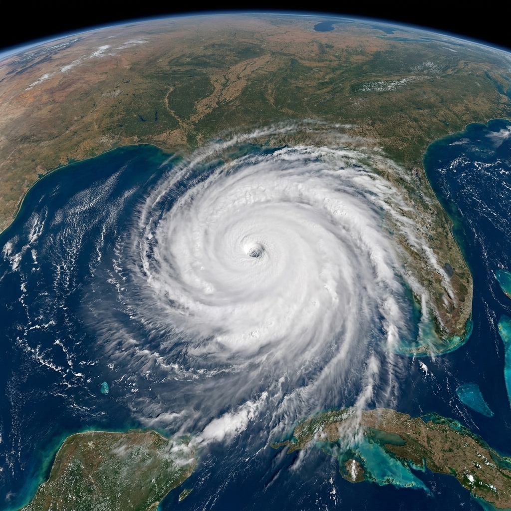
The first time I explained a heat dome to my physics students, I compared it to putting a lid on a pot. Not because the atmosphere has a literal dome-shaped roof over it, but because the pattern acts like one. It encourages sinking air, clear skies, and weak winds, which together make it much easier for heat to pile up day after day.
So when you hear “heat dome,” think less “one brutal afternoon” and more “a stuck weather setup that refuses to let the region breathe.”

Heat dome, in plain terms
A heat dome is a persistent area of high pressure in the atmosphere that:
- Blocks cooler weather systems from moving through
- Encourages sinking air that warms as pressure increases
- Promotes clear skies and lots of sunshine, which adds even more heat at the surface
- Often comes with stagnant winds, so hot air is not efficiently mixed out or replaced
Meteorologists often call the core feature a blocking high or upper-level ridge. The “dome” metaphor is handy because the circulation around a strong high can steer storms around it, making the heat feel “trapped.”
The three ingredients
1) The blocking high: the atmosphere gets stuck
Weather in the mid-latitudes usually moves along because the jet stream acts like a fast river of air, guiding low and high pressure systems from west to east.
During a heat dome, the jet stream often becomes wavier, and a big ridge of high pressure can become slow-moving or even quasi-stationary. That is the “blocking” part. It is not that storms are impossible, but the large-scale steering flow is set up to route many systems around the ridge instead of through it.
2) Sinking air: adiabatic warming and fewer clouds
Air inside a high-pressure system tends to sink. As it descends into denser layers of the atmosphere, it warms adiabatically as pressure increases. This is the same basic thermodynamics I teach in class: when a parcel of air is compressed, its temperature rises.
That warming does not always create record-breaking heat by itself. Its bigger role is that it discourages cloud formation. Fewer clouds means more incoming solar energy reaches the ground, which heats the surface efficiently all day long.
3) A stagnant setup: heat stacks up
A single hot day can happen under many setups, even behind a passing cold front if the air mass is dry and winds are downslope. A heat dome is different because it is a multi-day amplifier.
Each day, sunshine heats the ground. Each night, the atmosphere may not cool enough, especially in cities where concrete and asphalt release heat slowly after sunset. If the ridge sticks around, the next day starts from a warmer baseline. That stacking effect is one reason heat domes are so dangerous.
How long can a heat dome last?
There is no single official stopwatch that defines a heat dome, but the key word is persistent. In practice, a dome-like blocking pattern can last:
- Several days, which is common
- A week or more when the ridge is strongly blocked
- Longer than a week in rare, high-impact events where large-scale atmospheric waves lock into place
What ends a heat dome is usually a shift in the bigger steering currents aloft. A trough (lower pressure) can finally push through, winds can pick up, clouds can increase, and temperatures can drop back toward seasonal levels.
How meteorologists spot one
The fingerprints of a heat dome show up most clearly above the surface. Surface temperature alone tells you it is hot, but not why it is hot or whether the pattern is likely to hang around.
Upper-air maps: 500 mb heights and ridging
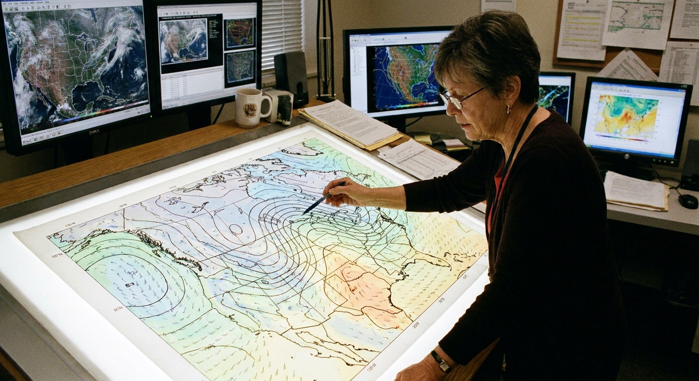
One of the most common ways to identify a dome is by looking at 500 millibar (mb) geopotential height charts. Around 500 mb is roughly mid-troposphere, often near 5 to 6 km above sea level (it varies with temperature).
When a strong ridge is present, the 500 mb height contours bulge northward and values are often unusually high for the season. High heights correspond to a warmer, thicker column of air and a ridge-like pattern aloft.
If I were standing at the front of the classroom with that map on the screen, this is what I would circle: the broad bulge in the contours that barely moves from day to day.
Weather balloons: radiosonde profiles
Radiosondes launched on weather balloons directly measure temperature, humidity, and wind with height. In heat dome conditions, a sounding often shows:
- Warm air aloft, sometimes with a noticeable warm layer above the surface
- A cap or inversion, where temperature stops decreasing with height for a layer, limiting vertical mixing
- Very dry mid-level air, which often helps keep skies clear
- Weaker winds through parts of the column, reinforcing stagnation
Satellite and reanalysis: the big-picture look
Satellites can often hint at a dome because you may see broad, persistent clear skies and suppressed cloud development across a large region. There are exceptions: marine stratus, monsoon moisture, and wildfire smoke can all complicate the view from space.
For research and retrospective analysis, scientists also use reanalysis datasets that blend observations with physics-based models to reconstruct the 3D atmosphere, making it easier to quantify how unusual the ridge was.

Heat dome vs. a hot day
A hot afternoon can be caused by many short-lived factors: sunshine after a storm, dry air, downslope winds, or a brief push of warm air into the region.
A heat dome is a synoptic-scale pattern (a large-scale setup spanning hundreds to thousands of kilometers) that persists long enough to create a run of extreme heat and often elevated nighttime temperatures.
If you want a quick mental test, try this:
- If the heat is mainly “today only,” it is probably not a dome.
- If forecasters are talking about a stubborn ridge, blocked storm track, and several days of dangerous heat, you are likely in dome territory.
Heat dome vs. heat wave
Here is a subtle but important point: heat dome is about the atmospheric mechanism, while heat wave is usually an impact and threshold concept.
Heat-wave definitions vary by country and agency, but they commonly involve:
- Temperature thresholds (absolute temperatures or “relative to normal” thresholds)
- Minimum duration (often 2 to 3 days or more)
- Sometimes nighttime lows, humidity, or heat index criteria
A heat dome can cause a heat wave, and many major heat waves occur under a dome-like ridge. But you can also have a heat wave without a classic blocking dome, for example if very warm air repeatedly advects into a region ahead of passing systems.
Why health risks rise
From a human-body standpoint, the most dangerous heat is often not the single highest afternoon temperature. It is the combination of multiple days of stress and nights that do not cool off.
Heat domes tend to worsen both, and they can also contribute to poor air quality by reducing mixing and ventilation. Stagnant air can allow ozone and wildfire smoke to linger, stacking respiratory strain on top of heat strain.
If you live in an area under a persistent ridge, pay special attention to:
- Nighttime low temperatures (warm nights limit recovery)
- Humidity (high humidity reduces the body’s cooling by sweat evaporation)
- Duration (risk increases with consecutive hot days)
A few practical steps
- Hydrate early and steadily, and do not wait until you feel thirsty.
- Shift outdoor work and exercise to morning hours when possible, and take shade breaks.
- Use cooling spaces (libraries, malls, community cooling centers) if home cooling is limited.
- Check on people at higher risk, especially older adults, infants, and neighbors without air conditioning.
- Know the warning signs: heat exhaustion (heavy sweating, dizziness, nausea) can progress to heat stroke (confusion, fainting, very hot skin). Heat stroke is an emergency.
Extra amplifiers
Once a dome is in place, a few ground-level feedbacks can make the heat worse.
- Dry soils and drought can amplify temperatures because less incoming energy goes into evaporating water, and more goes into directly heating the air.
- Urban heat islands can keep nights warmer, since buildings and pavement store heat during the day and release it slowly after sunset.
- Wildfire smoke can change how sunlight reaches the surface and can seriously degrade air quality. Even when smoke slightly dims daytime heating, it can raise health risk during heat because it adds respiratory stress.
Forecast implications
A dome-like ridge matters for forecasting because it points to persistence. Once a blocking high is established, it often becomes easier to predict the next few days of heat, even if longer lead times can still be tricky when models are trying to time the eventual breakdown.
When forecasters see a strong ridge lock in, they can often say with more confidence that:
- Heat will continue for several days
- Rain chances may stay low
- Any real cooling will likely require a pattern shift, not just a passing afternoon cloud deck
That helps communities plan for peak electricity demand, cooling center needs, and outdoor work schedules. In other words, the setup is not trivia. It changes the timeline of risk.
Common misconceptions
“It is a literal cap trapping heat like a greenhouse.”
Not exactly. Greenhouse warming is about gases that reduce Earth’s ability to radiate heat to space. A heat dome is mainly about circulation: sinking air, fewer clouds, and a blocked storm track. The result is heat buildup, but the physics is different.
“A heat dome is the same thing as high humidity.”
Some heat domes are dry, some are muggy, and some vary by region. Humidity depends on moisture sources and wind patterns. A dome can increase stagnation, but it does not automatically guarantee sticky air.
“If it is hot, it must be a heat dome.”
Hot weather is the symptom. A heat dome is one specific, large-scale cause. Meteorologists diagnose it by looking aloft at ridging and blocking behavior, not just the thermometer outside your window.
Quick glossary
- Blocking high: A high-pressure system that slows or redirects the usual west-to-east movement of weather systems.
- Ridge: An elongated area of high pressure, often visible on 500 mb maps as a northward bulge in height contours.
- Subsidence: Sinking air, common under high pressure.
- Inversion (cap): A layer where temperature increases with height, suppressing vertical mixing and cloud growth.
- 500 mb heights: A standard way to track mid-tropospheric ridges and troughs tied to large-scale weather patterns.
FAQ
Is a heat dome caused by climate change?
A heat dome is a weather pattern, and similar patterns have happened naturally for as long as there has been weather. Climate change can still matter because a warmer baseline makes it easier for a given pattern to produce record-breaking temperatures and more severe impacts. Scientists study this by analyzing trends in temperature extremes alongside changes in atmospheric circulation.
Can a heat dome happen in winter?
The same kind of blocking ridge can occur in any season. In winter it often shows up as an extended stretch of mild, dry conditions rather than a dangerous heat event.
What is the clearest sign that a heat dome is breaking?
Typically you will see the ridge aloft weaken or shift, winds increase, clouds expand, and nighttime lows start dropping. The exact sequence depends on the incoming weather system, but the key is a change in the upper-level pattern, not just a local breeze.