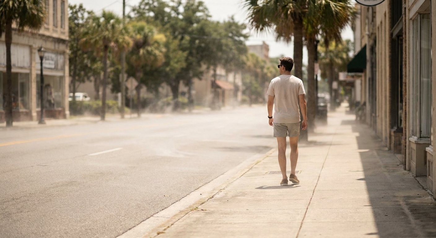
On summer evenings, I like taking my golden retriever, Quark, on a slow walk after the sun dips low. One thing I have learned the sweaty way is that the city holds onto heat like a cast iron pan that refuses to cool down. You can feel it when you step off a tree-lined path and onto a wide stretch of asphalt. The air gets stickier, the breeze feels warmer, and the “cooling off” you expected after sunset somehow never arrives.
That stubborn warmth has a name: the urban heat island. It is one of the clearest examples of how changing the surface of the Earth changes the local energy balance, even when the weather forecast is the same for everyone in the region.
Urban heat island, in plain language
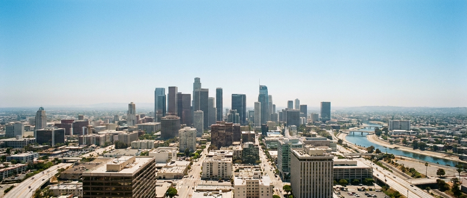
An urban heat island (UHI) is a consistent pattern where a city is warmer than the nearby countryside. The “island” part is not just a metaphor. If you map temperatures across a metro area and its surroundings, the warmest region often sits over the densest built environment, like a heat bullseye.
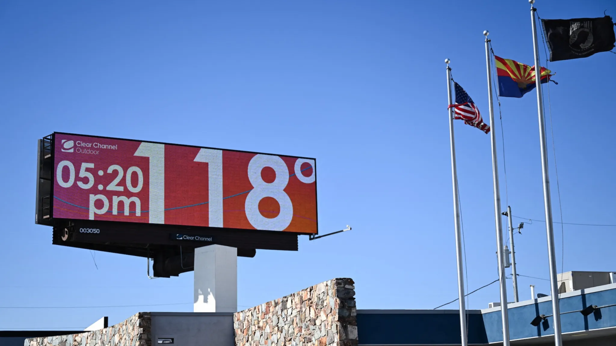
Scientists typically describe UHI as a temperature difference between urban and rural sites. The exact gap varies by city, weather, time of day, and season. In many places, the difference becomes most obvious after sunset, when rural areas cool quickly but the city keeps radiating stored heat back into the air. In the daytime, the air-temperature heat island can be smaller and, in some settings, even weaken or briefly flip, especially if the countryside is dry and bare while parts of the city are irrigated.
Why cities run hotter than rural areas
The urban heat island is not caused by one villain. It is more like several factors that stack together: heat-storing surfaces, less natural cooling, extra heat released by human activity, and city shapes that can slow cooling.
1) Pavement and buildings store solar energy
During the day, sunlight hits everything. In rural landscapes, a lot of that energy goes into evaporating water from soil and plants. In cities, a lot of it goes into warming materials like asphalt, brick, and concrete.
These materials tend to:
- Absorb more sunlight (they are often darker than grass or cropland).
- Store heat efficiently because of their thermal properties and thickness.
- Release that heat slowly, especially in the evening and overnight.
That slow release is a big reason nighttime temperatures can stay elevated in dense neighborhoods.
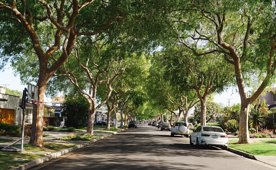
2) Fewer trees means less shade and less evaporative cooling
Trees act like natural air conditioners in two key ways:
- Shade reduces how much sunlight hits the ground and building surfaces.
- Evapotranspiration (water evaporating from leaves and soil) uses heat energy, which cools the local environment.
When urban development replaces vegetation with roofs and roads, you remove both shade and this evaporation-powered cooling pathway.
3) Waste heat from engines, buildings, and AC units
Cities are packed with machines that turn energy into motion, light, and cooling, and they all leak heat as a byproduct.
- Cars, trucks, and buses release heat from engines and exhaust.
- Buildings shed heat through walls, vents, and especially rooftops.
- Air conditioners cool indoor air by dumping heat outdoors. They do not destroy heat, they relocate it.
On very hot days, this can create a real (usually localized) feedback: higher outdoor temperatures push AC systems to work harder, which adds more heat to the street and alley air right outside. In most cities, though, stored heat and reduced evapotranspiration are still the heavyweight drivers, with waste heat playing a supporting role that varies by neighborhood, building type, and AC use.
4) City geometry can trap warmth
Tall buildings can create urban canyons that reduce how effectively heat escapes at night. They can also limit wind flow near the street, which slows the mixing of warm city air with cooler air above or outside the city.
Why the heat island often shows up most at night
If you only remember one thing, make it this: urban heat islands are frequently a nighttime story.
In rural areas, after sunset the ground can cool quickly by radiating heat to the sky. With more open views of the sky, more vegetation, and more moisture available for evaporation, many non-urban surfaces shed heat efficiently.
In cities, the situation flips:
- Heat stored in pavement and buildings continues to leak back out for hours.
- Less vegetation means less cooling from evaporation overnight.
- Urban canyons can reduce how directly surfaces “see” the open sky, limiting radiative cooling.
- Ongoing waste heat from traffic, nightlife, and 24/7 buildings keeps adding warmth.
The result is often a smaller drop from the day’s high to the overnight low. And from a health perspective, that matters because nighttime is when bodies are supposed to recover. Warm nights can disrupt sleep and compound heat stress across multiple days, especially for people without reliable indoor cooling.
Urban heat island vs. heat dome
These two get mixed up because they can happen at the same time, but they are different layers of the problem.
Urban heat island is local and built-in
Urban heat island is a persistent, place-based effect caused by land cover and human activity. It is tied to where you are in a metro area. Even on a normal summer day, the warmest readings often cluster over dense development.
A heat dome is regional weather
A heat dome is a regional weather pattern, usually involving strong, persistent high pressure that favors sinking air, clearer skies, and conditions that limit cooling. Depending on the setup, that can mean less nighttime radiative cooling (because heat keeps building day after day) and less mixing or ventilation, so warmth lingers near the surface.
How they interact
If a heat dome parks over a region, the whole area heats up. Then the city’s built-in heat island effect can stack on top of that background warmth, making the hottest neighborhoods even hotter and keeping nighttime lows uncomfortably high.
Think of it like this: a heat dome raises the floor for everyone in the region. The urban heat island raises the floor higher inside the city.
How scientists and cities detect the heat island
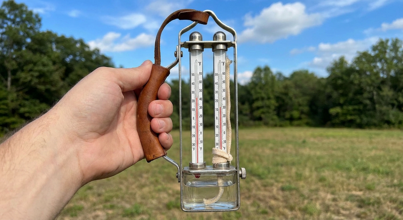
Urban heat island intensity is usually estimated by comparing temperatures from urban and non-urban locations. That can include:
- Weather stations inside the city versus stations in nearby rural or less-developed sites.
- Mobile measurements collected by sensors on vehicles that drive across neighborhoods at the same time of day.
- Satellite observations that measure land surface temperature, which is not identical to air temperature but is extremely useful for spotting hotspots like large parking lots and industrial areas.
One easy point of confusion: satellite maps often show the strongest surface heat island in the daytime because sun-baked pavement and roofs get blazing hot. The air-temperature heat island many of us feel, especially in dense neighborhoods, often stands out most after dark.
When you see maps showing certain neighborhoods consistently warmer than others, that is often a combination of surface temperature patterns and local air temperature monitoring.
Who is hit hardest
Within the same city, heat is rarely democratic. Neighborhood-to-neighborhood differences in tree canopy, park access, building density, and historical land-use decisions can create temperature gaps you can feel just by walking a few blocks.
Urban heat risk increases when people have:
- Less tree cover and shade near homes, schools, and transit stops.
- More asphalt and large roofs that absorb and re-radiate heat.
- Limited access to cooling (reliable AC, affordable electricity, or nearby cooling centers).
- Higher exposure outdoors because of work, commuting, or lack of indoor cooling options.
That is why many heat action plans focus not only on citywide averages, but on targeted cooling interventions in the hottest, most exposed areas.
How to reduce an urban heat island
The nice thing about UHI is that it is not a mystery. It is physics plus design choices, which means there are practical levers to pull. In many cities, the heat island is often a few degrees, and on calm, clear nights it can be larger. The exact numbers bounce around, but the direction is consistent: materials, shade, moisture, and energy use matter.
Cool the surfaces
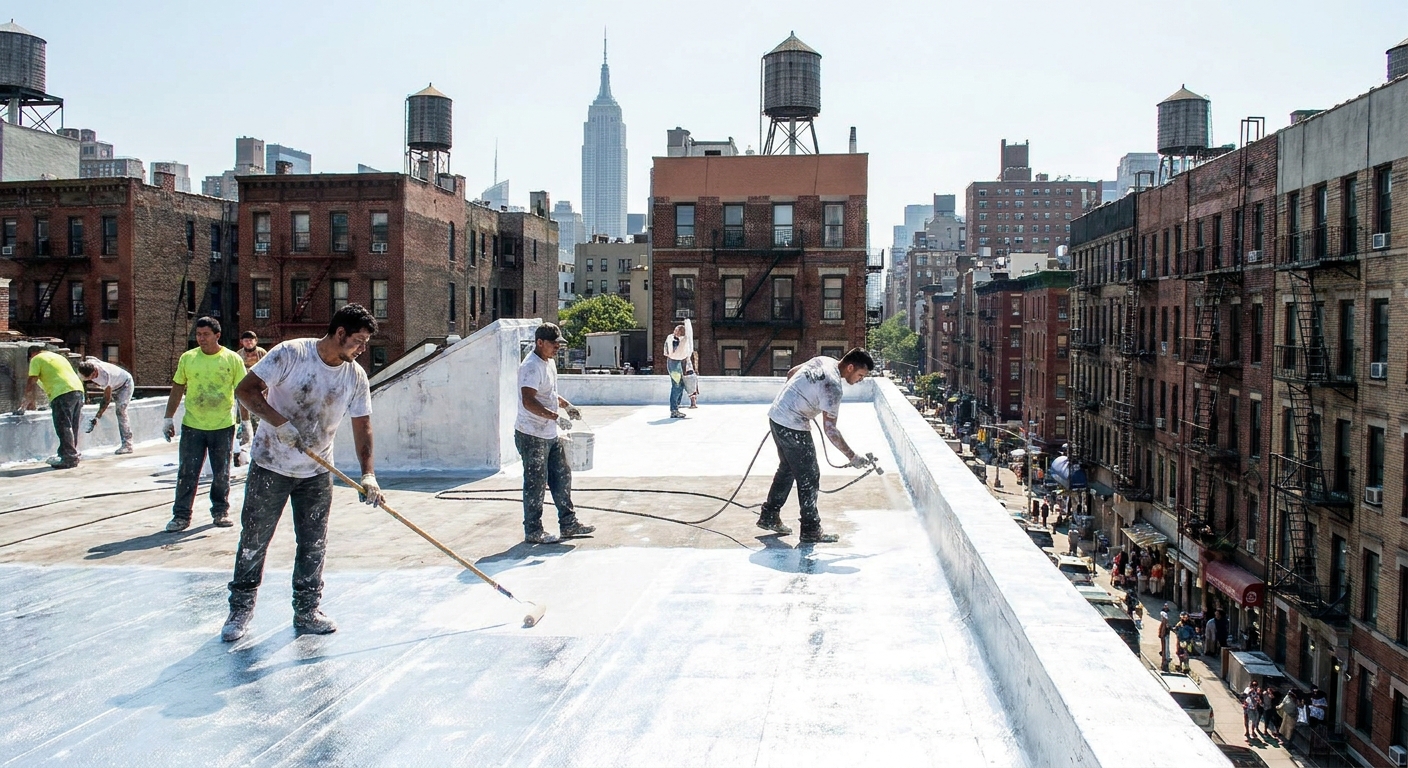
- Cool roofs: lighter-colored or reflective roofing materials reduce solar absorption and often help indoor comfort, too.
- Cool pavements: certain coatings and mixes reflect more sunlight or store less heat. (Like most tools, they come with tradeoffs, including potential glare in some settings.)
- Permeable surfaces: can support evaporation and cooling when moisture is available, such as after rain or with careful water management. In very arid regions, permeability alone may not add much cooling unless water actually enters the system.
Bring back shade and evapotranspiration
- Urban tree canopy: strategically planted trees along streets and around buildings can significantly lower local temperatures, but they also need watering, space, and long-term maintenance.
- Parks and green corridors: create cooler pockets that also improve air quality and livability.
- Green roofs: add vegetation where ground space is limited, with the same basic constraint as any greenery: they work best when they can stay alive.
Cut waste heat where possible
- Energy efficiency in buildings reduces heat dumped outdoors.
- Transit and electrification can reduce street-level heat from combustion engines, especially in dense corridors.
- Shade structures at bus stops and pedestrian routes reduce direct sun exposure even when air temperature is unchanged.
None of these fixes eliminates regional heat waves or major weather patterns, but they can lower the baseline heat burden in the places where people actually live and sleep.
Quick questions people ask
Is the urban heat island only a summer thing?
It is strongest in warm seasons and on clear, calm nights, but the underlying effect exists whenever the city’s surfaces and energy use create a temperature difference from surrounding areas.
Does humidity play a role?
Yes, indirectly. Replacing vegetation with impervious surfaces often reduces evaporation, which removes a powerful natural cooling mechanism. Humidity and breeze also affect how heat feels and how efficiently surfaces cool, but the core UHI mechanism is about energy storage, surface properties, and added heat.
Can a city be cooler than the countryside?
In some situations, yes. For example, if the surrounding rural area is very dry and bare while the city has irrigated greenery, the local pattern can flip. But the classic urban heat island pattern is city warmer than rural, especially at night.
Is UHI the same as global warming?
No. Urban heat islands are local effects tied to land cover and energy use. Global warming is a planet-wide trend driven mainly by greenhouse gases. They can stack together in the same place, but they are not the same phenomenon.
The takeaway
Cities run hotter because they swap living, evaporating landscapes for heat-storing surfaces, add waste heat on top, and often block the night’s natural cooling. That is why the urban heat island shows up so clearly in nighttime lows, when the countryside relaxes into cooler temperatures and the city keeps glowing warm.
And unlike many climate problems, this one comes with knobs we can actually turn: trees, shade, reflective roofs, smarter pavement, and more efficient buildings. When the next hot spell hits, those changes will not just look nice on a streetscape plan. They will show up in the only metric most of us truly care about at 2 a.m.: whether the night finally cools down.