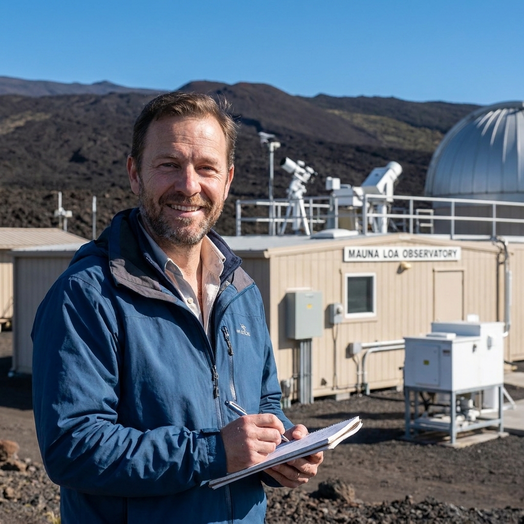
I used to tell my physics students that the atmosphere is basically a heat engine wearing a very thin jacket. Add more heat to the system and the engine does not just get “a little warmer.” It starts running differently: more evaporation, more water vapor, more energy available for storms, and more opportunities for weather to stall in place.
That is the throughline behind many headlines that feel unrelated at first glance. A heatwave in one region, catastrophic flooding in another, and a hurricane that seems to intensify overnight can all be traced back to the same fundamental shift: the planet is storing more heat, and the air and oceans are responding.
The basic physics
Before we get into the five types, it helps to anchor a few pieces of atmospheric science that show up again and again.
- Warmer air can hold more water vapor. As a rule of thumb, saturation vapor pressure rises by about 7% per 1°C of warming (Clausius–Clapeyron). Actual humidity increases can be smaller and vary by region, season, and circulation, but the capacity for moisture goes up. Water vapor is both fuel (latent heat) and material (rain and snow) for storms.
- Warmer oceans can supply more energy, all else equal. Sea surface temperature and upper ocean heat content matter because tropical cyclones feed on evaporation and heat exchange. In practice, winds and near-surface humidity also help determine how much evaporation actually occurs.
- Hotter baseline temperatures shift extremes upward. If average conditions rise, record-breaking heat becomes easier to reach, and heatwaves last longer.
- Circulation changes can make weather stick, sometimes. Blocking patterns and sluggish steering winds can allow the same conditions to persist, whether that means dry heat or repeated downpours. How global warming influences these patterns is an active research area and the signal can vary by region and season.
With that in mind, here are five extreme weather categories that global warming is accelerating, along with the meteorological mechanics behind each one.
1) Hurricanes
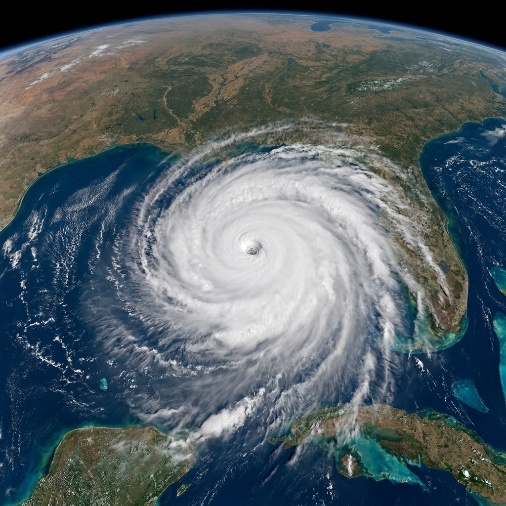
Hurricanes are not created by climate change, but they are shaped by the environment they move through. A warmer ocean is like upgrading a storm from a small battery to a larger one. The key is that the ceiling for intensity and rainfall can rise when ocean and atmosphere conditions are supportive.
What warming does
- More available heat energy. Hurricanes draw energy from warm ocean water via evaporation and the release of latent heat in towering thunderstorms. Higher sea surface temperatures and higher ocean heat content can support stronger storms.
- Heavier rainfall rates. Because warmer air can hold more moisture, hurricanes can carry and dump more water. That often means more inland flooding, even when winds are not the primary hazard.
- Higher odds of rapid intensification. Not every storm will do this, but warmer waters and deeper warm layers can make it easier for some storms to strengthen quickly, leaving less time to prepare.
- Storm surge rides on higher seas. Sea level rise is not meteorology, but it magnifies hurricane impacts by elevating the baseline water level before surge even begins.
Important nuance: The total number of tropical cyclones globally is not as straightforward as “more warming equals more storms.” Observations and models point more confidently to higher intensity and heavier rainfall for the strongest storms, plus more damaging coastal flooding when sea levels are higher. Other factors, like wind shear and natural climate cycles, can either amplify or offset warming effects in a given basin and decade.
2) Heatwaves
If you want the cleanest climate signal in everyday life, look at heat. Heatwaves are where a warming baseline shows up most directly. Imagine a bell curve of daily temperatures sliding to the right. The far-right tail, the extreme hot days, grows dramatically.
What drives worse heat
- Higher baseline temperatures. This is the obvious piece, but it is powerful. A “moderate” heatwave in the past becomes an “extreme” heatwave in the present.
- Soil moisture feedback. When soils dry out, less incoming solar energy goes into evaporating water and more goes into heating the air. That can intensify and prolong heat, especially in already dry regions.
- Stagnant high-pressure systems. Many severe heatwaves are linked to persistent ridges in the jet stream that suppress clouds and rain. When those patterns linger, heat builds day after day.
- Warmer nights. Nights that stay hot are a health threat because bodies do not get a chance to cool. Increased humidity and urban heat island effects make this worse.
Heatwaves are not just “hot afternoons.” They are multi-day stress tests on the human body, power grids, crops, and ecosystems. And as global warming continues, the odds of breaking records stack up like compound interest.

3) Drought
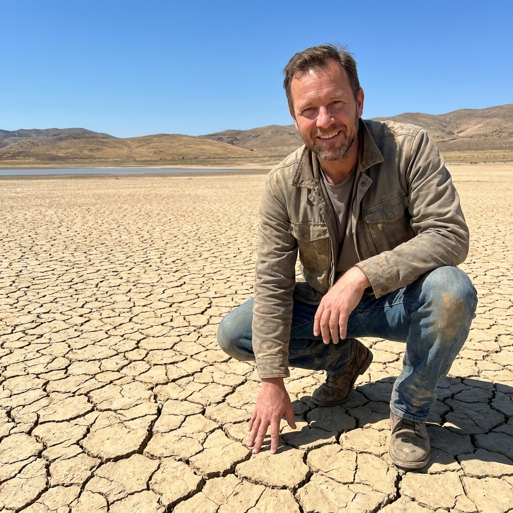
Drought can be sneaky because it is not one dramatic moment like a tornado. It is the slow tightening of a vise: less precipitation, more evaporation, earlier snowmelt, and hotter air pulling moisture out of soils and plants.
Why warming raises drought risk
- Higher evaporative demand. Warm air has a stronger “thirst.” Even if rainfall stays the same, higher temperatures can dry out landscapes faster by boosting evaporation and plant transpiration.
- Shifts in precipitation patterns. In some regions, storm tracks move, wet seasons shorten, or precipitation becomes more variable. That can increase the chance of extended dry periods.
- Snowpack changes. Warmer winters can mean more rain and less snow, and snow that melts earlier. Snowpack is nature’s reservoir, and losing it reduces summer water availability.
Important nuance: Drought is regional, and it depends on both precipitation and demand. Some places may see little change in average rainfall yet still experience worse drought impacts because higher temperatures pull more moisture from soils and vegetation. Water management and groundwater use can also determine whether a dry spell becomes a crisis.
Meteorologists often talk about meteorological drought (lack of precipitation) and agricultural or ecological drought (soil and plant stress). Global warming pushes hard on the second category by increasing evaporation and heat stress, which means drought impacts can intensify even without huge changes in rainfall totals.
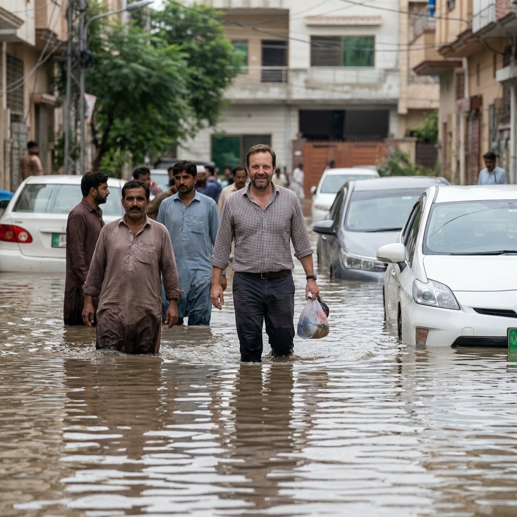
4) Extreme rainfall
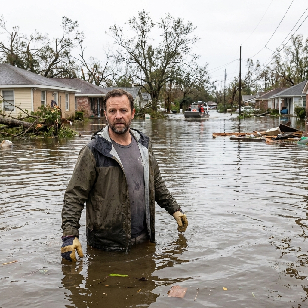
One of the most counterintuitive climate facts is that warming can increase the risk of both drought and flooding. The connecting thread is a more energetic water cycle: more evaporation when water is available, and more moisture in the air ready to fall as heavy precipitation.
How warming boosts downpours
- Moisture loading. As the atmosphere warms, it can carry more water vapor. When storms form, that vapor can condense rapidly, producing higher rainfall rates.
- Stronger convection. Warmer surface temperatures can promote more vigorous thunderstorm updrafts, which can intensify short-duration, high-intensity rain events.
- Slow-moving systems. Some of the worst floods come from storms that crawl or stall. If the steering winds are weak or patterns block, the same area can get repeated rounds of rain.
Important nuance: Flood risk also depends heavily on local factors like land use, river management, drainage capacity, and whether the ground is already saturated. But from a purely meteorological standpoint, a warmer atmosphere makes it easier to produce extreme precipitation events, sometimes called cloudbursts, that overwhelm systems built for a milder past.
5) Wildfire weather
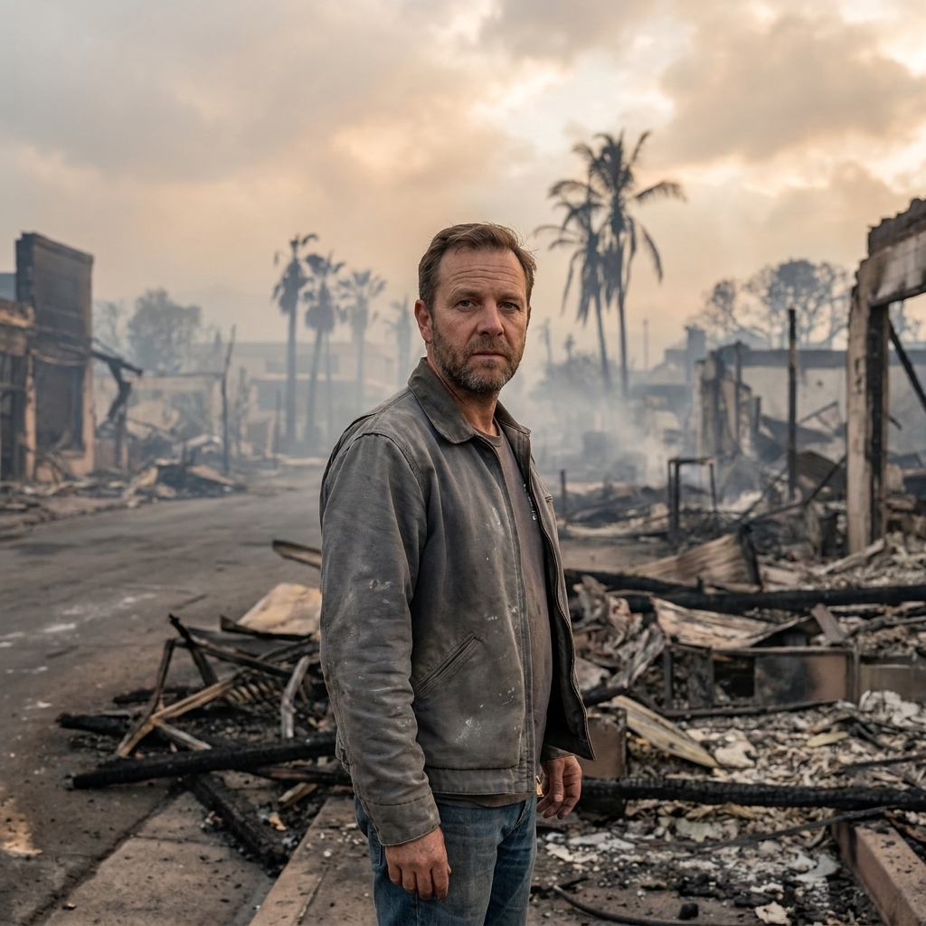
Wildfires require an ignition source and burnable fuel, but weather determines whether a fire stays small or becomes a fast-moving, smoke-producing disaster. Climate change is not a match. It is a trend toward more days that act like lighter fluid, and a longer stretch of the calendar when landscapes are primed to burn.
What sets the stage
- Hotter temperatures dry fuels. Heat increases evaporation from soils and vegetation, lowering fuel moisture. Dry needles, grass, and dead wood ignite and spread more easily.
- Earlier snowmelt and longer warm seasons. In many mountainous regions, earlier melt means forests dry out sooner, extending the fire season window.
- Low humidity and strong winds. When dry air and gusty winds align, fires can spread rapidly. Some regions also face downslope wind events that dramatically raise fire danger.
- Compound extremes. Drought plus heatwave plus wind is a classic recipe for explosive fire behavior.
Even when a region has a wet winter, a hot spring and summer can quickly “spend” that moisture. The result is a landscape that looks green in April and behaves like tinder by July.
What it adds up to
A common misconception is that climate change must create a brand new kind of weather for it to matter. In reality, the biggest shift is often amplification. Storms that used to be rare become less rare. Heat that used to be extreme becomes more routine. Rain that used to be manageable becomes a flood.
In meteorology, we talk a lot about probabilities. Global warming is like adjusting the odds in the background, quietly but persistently. You still roll the dice, but you are rolling hotter numbers more often.
FAQ
Are hurricanes becoming more frequent or just stronger?
The clearest signal is that the most intense hurricanes are more likely in a warmer climate, and hurricane rainfall is increasing because warmer air can carry more moisture. Total storm counts are more uncertain and vary by basin and decade. Wind shear and other environmental changes can also shape trends region to region.
Why can climate change cause both drought and flooding?
Because it strengthens the water cycle. Warmer air increases evaporation and dries soils faster, raising drought risk. That same warm air also increases the atmosphere’s capacity to hold water vapor, which can fall in heavier downpours when storms form.
What does “rapid intensification” mean?
It refers to a large jump in storm strength over a short time, often within a day. Warmer ocean conditions and deeper warm water can make rapid intensification more likely for some storms, reducing the lead time for coastal preparations.
Is wildfire weather only about heat?
No. Heat is a major driver because it dries fuels, but humidity, wind, and long-term drought set the stage. Human land management and ignition sources also strongly influence outcomes.