If you have been hearing that a record-breaking El Niño is “sending a Kelvin wave” toward North America, here is the plain-language version of what is happening right now, why it is happening, and what it means for everyday life on California’s coast.
The key idea is surprisingly simple: the tropical Pacific is like an enormous bathtub. When winds change, the water redistributes. In 2026, that redistribution is arriving as a Kelvin wave, a broad, organized surge of warm water that can lift coastal sea level without looking like a dramatic surface wave.
What sparked the October 2026 Kelvin wave
Most years, the Pacific trade winds blow steadily from east to west, from South America toward Asia. That persistent push herds warm surface water toward Indonesia, where it stacks up higher and hotter, while the waters near South America tend to be cooler and sit a little lower.
In August 2026, that usual push faltered in a big way. A intense sequence of westerly wind bursts, lasting roughly two to three weeks, blew in the opposite direction, from west to east, across the central Pacific. When the normal trades collapsed and briefly reversed, the warm water that had been “piled up” in the west began to slosh back toward the Americas.
That eastward-moving bulge of warm water is the start of the Equatorial Kelvin wave.
Kelvin waves are not beach waves
When most of us picture a wave, we picture wind ruffling the surface. Kelvin waves play a different game. They are planetary-scale gravity waves, meaning Earth’s gravity is trying to flatten the ocean back out, while the ocean’s layered structure guides how that “flattening” happens.
They travel below the surface
The core of a Kelvin wave moves several hundred feet beneath the surface along the thermocline, the transition zone between warm surface water and the colder deep ocean. As the wave passes, it presses the thermocline downward, trapping exceptionally warm water above it.
They hold their shape over long distances
One reason scientists take these pulses seriously is that, in the shallow water model, Kelvin waves are described as non-dispersive. In everyday terms: the wave’s different parts keep pace with one another. Instead of smearing out and fading quickly, the signal can stay coherent as it crosses an ocean basin.
How it becomes a coastal sea-level issue
The equatorial pulse took about two months to traverse the Pacific and struck Peru and Ecuador around September 1, 2026. Once it hits South America, it cannot keep going straight because land blocks the path. So the energy splits.
The northern branch becomes a coastal trapped Kelvin wave, and this is where the physics gets quietly effective.
Earth’s rotation pins it to the shoreline
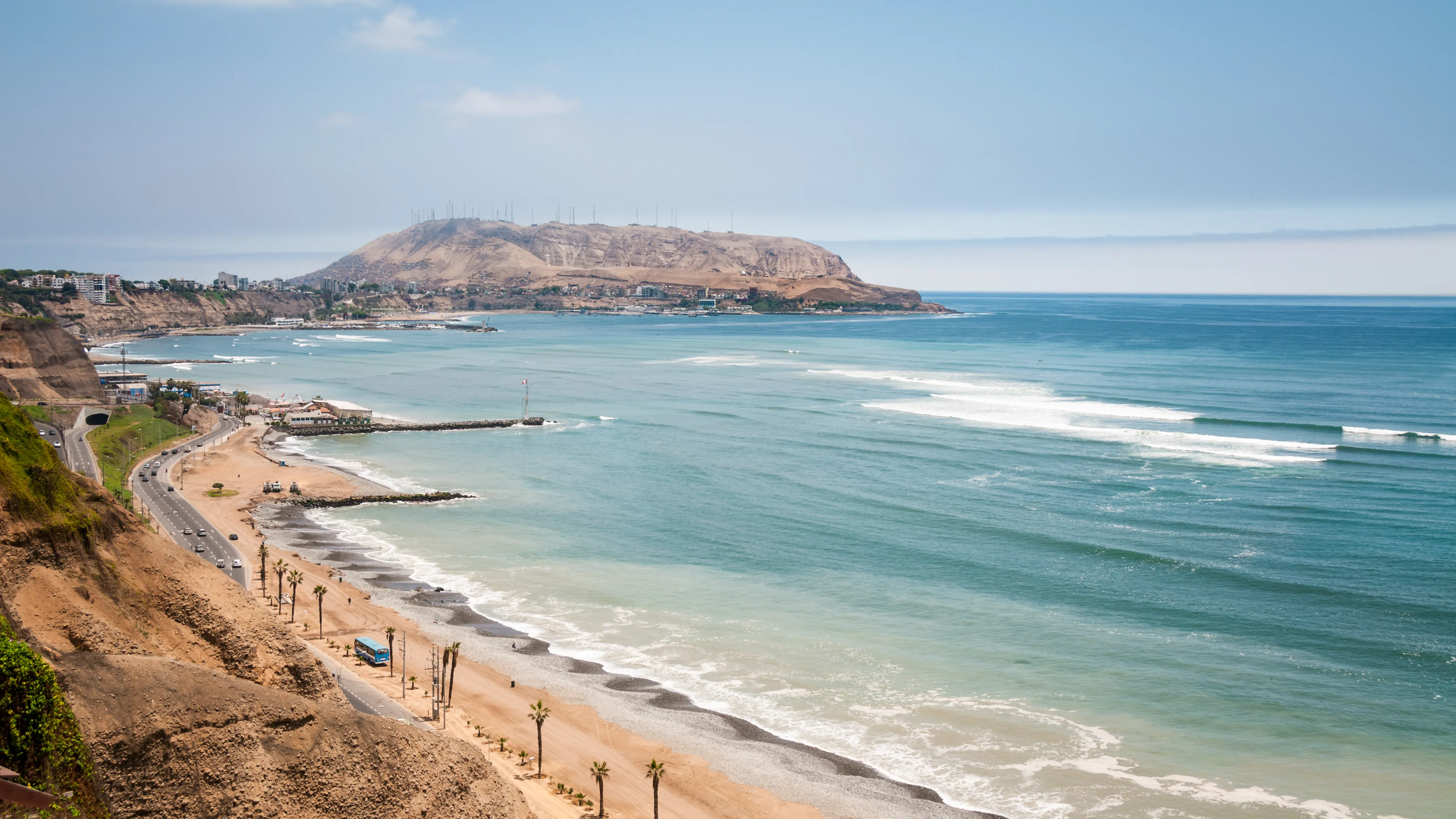
As the wave’s energy migrates northward, the Coriolis effect deflects motion to the right in the Northern Hemisphere. With a coastline acting like a boundary, that rightward tendency continually nudges the elevated water against the edge of the continent. The coast becomes a natural guide rail, confining the wave into a narrow band roughly 30 kilometers wide that hugs the shoreline as it crawls north toward Alaska.
Why this 2026 event stands out
The October 2026 pulse is not expected to be a one-and-done. Because this year’s El Niño is tracking as one of the strongest on record, climate scientists calculate that additional westerly wind bursts will likely trigger three or four more Kelvin wave pulses in the coming months.
If that happens, the practical consequence in California is not a single dramatic day at the beach. It is a higher starting point for the ocean. Projections indicate California’s baseline sea level could stay elevated by roughly 6 to 12 inches through early 2027, compounding the danger of winter storm surges.
Is it dangerous to be at the beach?
For personal safety, the reassuring news is this: this Kelvin wave is an underwater, planetary-scale surge. It is not expected to cause a sudden tsunami, dangerous rip currents, or rogue waves that will sweep you off the beach.
The risk is more mundane and, for coastal communities, more expensive: higher water levels make everyday tides and storms more damaging.
What changes in daily life
1) High-tide flooding, even on sunny days
When the whole ocean surface is riding 6 to 12 inches higher than usual, ordinary high tides can start acting like nuisance floods.
- Low-lying roads and parking areas near the coast may see seawater during peak tides.
- Boardwalks and waterfront walkways can flood even in calm, clear weather.
2) King Tides hit harder
Later this fall and winter, the naturally highest tides of the year, often called King Tides, will arrive on top of that already-lifted baseline. That stacking effect is why coastal flooding concerns rise quickly during strong El Niño years.
3) Faster beach erosion
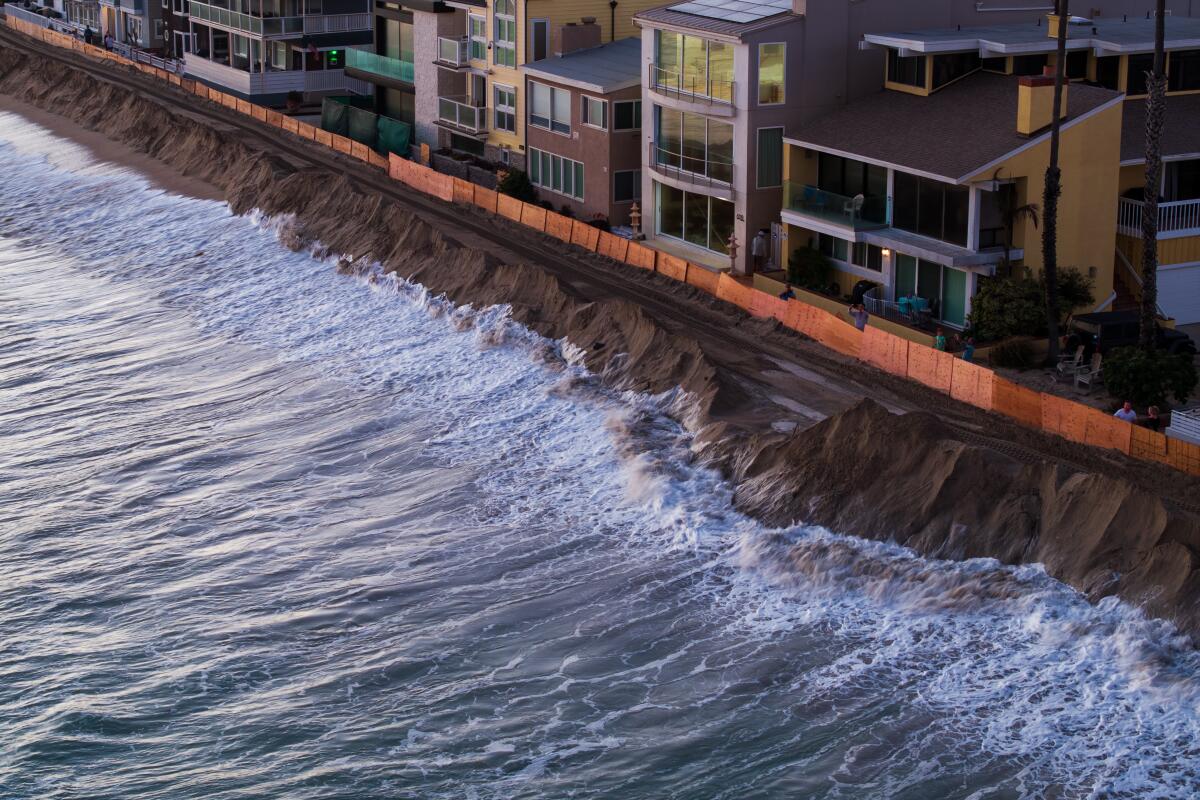
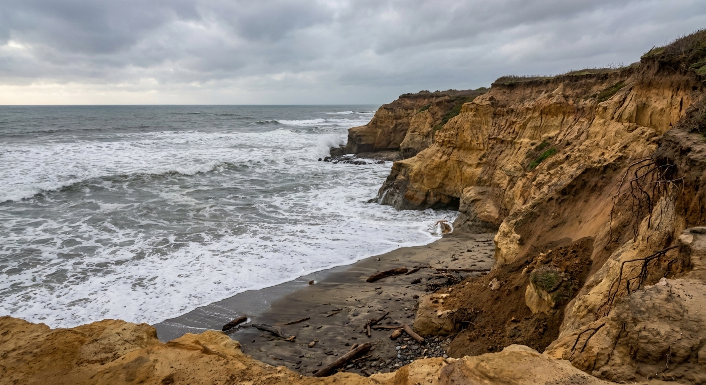
The wave keeps a thick layer of warm water pinned against the shore. This warm water expands through thermal expansion and prevents cold, deep water from buffering the coast. The result is that regular ocean waves can reach higher up the beach for longer stretches of time, rapidly eroding sandy shores, undermining sea walls, and threatening coastal bluffs.
4) Winter storms pack a bigger punch
The highest-stakes scenario is a winter storm arriving during high tide. Storm surge rides on whatever sea level is already there. Add up to about a foot of extra baseline water, and the same storm can push water farther inland than it otherwise would.
5) Local marine life may shift
The warm coastal layer can disrupt the usual nutrient delivery by suppressing upwelling. That ripples through the food chain. People may notice changes in fishing conditions and see animals like sea lions and certain fish species turn up in different places as they track food.
If you live near the coast
You do not need to panic, but the next several months call for sharper timing and more caution around the highest water levels.
- Watch local tide tables if you park, commute, or store belongings in low-lying coastal zones.
- Take King Tides seriously this season because they will be riding on top of an elevated baseline.
- Be extra alert during winter storms, especially when storm timing overlaps with high tide.
The physics takeaway
A record-breaking El Niño does not just warm the ocean. It can rearrange it. In August 2026, a brief but intense wind reversal nudged the Pacific’s warm-water pile eastward. Because Kelvin waves travel efficiently along the ocean’s layered structure and then get pinned to the coastline by Earth’s rotation, that nudge can translate into months of subtly higher sea level in California, right when winter storms and peak tides do the most damage.