Curiosity, with all its quills showing.
That is usually how I meet the Pineapple Express: not as a single, official “storm name,” but as a memorable nickname for a particular atmospheric-river pattern in the Pacific. When forecasters use the phrase, they are talking about a long, narrow corridor of moisture and wind that can stretch from the subtropical Pacific toward the U.S. West Coast, sometimes appearing to reach back toward the Hawaii region. When the corridor aims well and the winds cooperate, it can turn ocean evaporation into days of soaking coastal rain and, in the right setup, feet of snow in the mountains.
In plain terms: what it is
The Pineapple Express is a well-known nickname for an atmospheric-river setup that taps subtropical moisture and steers it toward the West Coast of North America, most often the U.S. West Coast but sometimes farther north into British Columbia. The nickname comes from the popular association with moisture sources near Hawaii, long linked with pineapples.
A key detail: the Pineapple Express is not a single storm by itself. It is more like a high-speed conveyor belt of water vapor in the lower atmosphere. Storms and fronts often travel along or interact with that conveyor belt, wringing out the moisture as rain or snow when the air is forced to rise.
How it fits the bigger idea of atmospheric rivers
Atmospheric rivers are long, narrow corridors of enhanced water vapor transport. Many form in the Pacific, and most never earn a catchy nickname. “Pineapple Express” is the pop-culture label for a Pacific pattern where the subtropical connection is especially pronounced, even if the moisture fetch does not always draw a clean, literal line from Hawaii on every event.
Where the moisture comes from
The water in a Pineapple Express is not “carried from Hawaii” like cargo on a ship. Instead, it mostly comes from evaporation off the warm subtropical ocean. Warm water adds moisture to the air, and winds organize that moisture into a ribbon of fast transport.
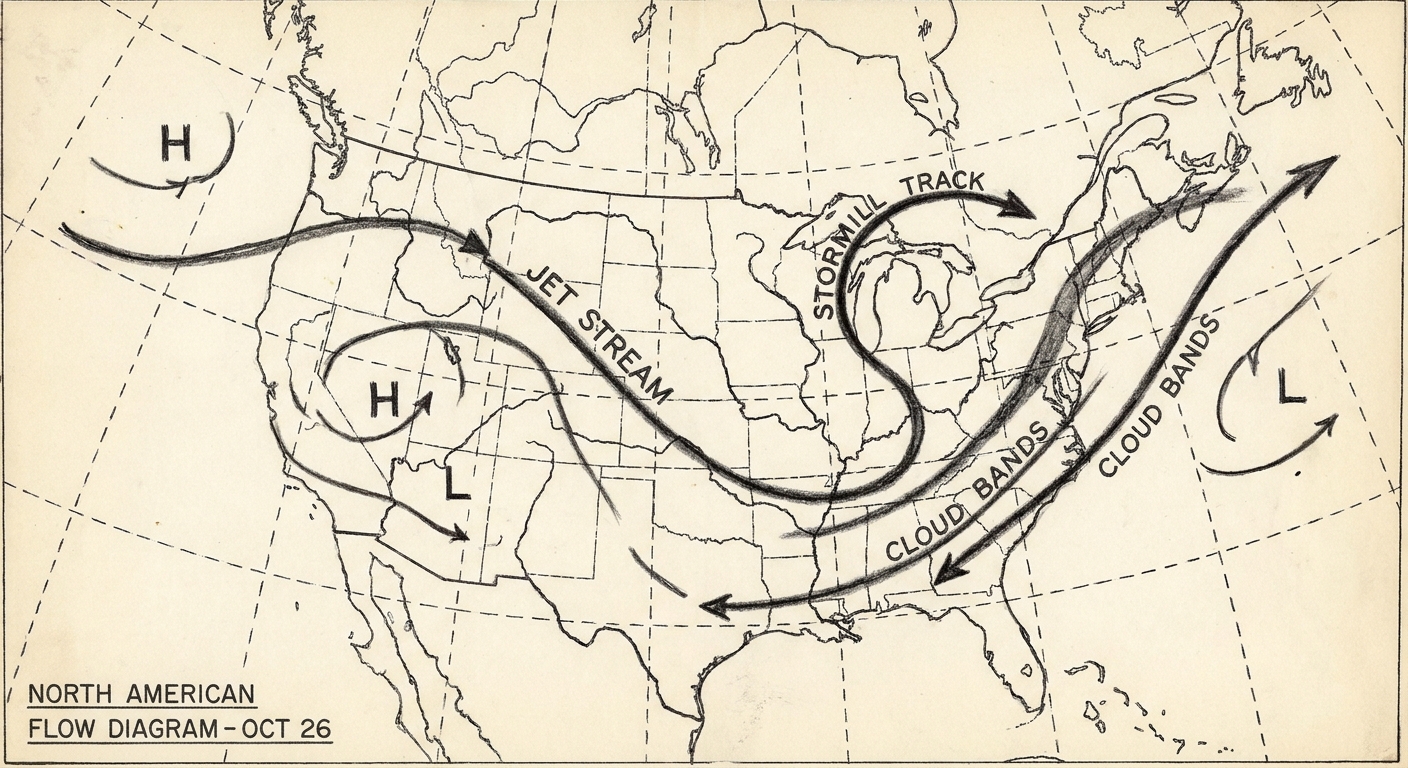
Hawaii matters because it sits in a part of the Pacific that can be warm and moisture-rich, and because the storm track and jet stream sometimes align in a way that creates a recognizable subtropical-to-coast connection.
- Warm ocean surface increases evaporation, adding water vapor to the lower atmosphere.
- Strong winds concentrate and accelerate the transport, turning “humid air” into “focused moisture flux.”
- Storm systems and fronts provide lift and convergence that help convert that vapor into precipitation.
When it usually happens
The Pineapple Express is most common in the cool season, broadly late fall through winter, and it can extend into early spring depending on the year. That seasonality is not a pineapple thing. It is a midlatitude storm thing.
In winter, the Pacific jet stream is often stronger and storm systems are more frequent. That makes it easier to form a sustained corridor of strong winds aimed at the coast. In summer, the large-scale wind patterns over the North Pacific are usually less favorable for the classic West Coast landfall pattern, so Pineapple Express events are much less common.
What it looks like on satellite
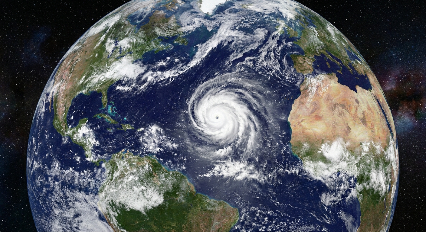
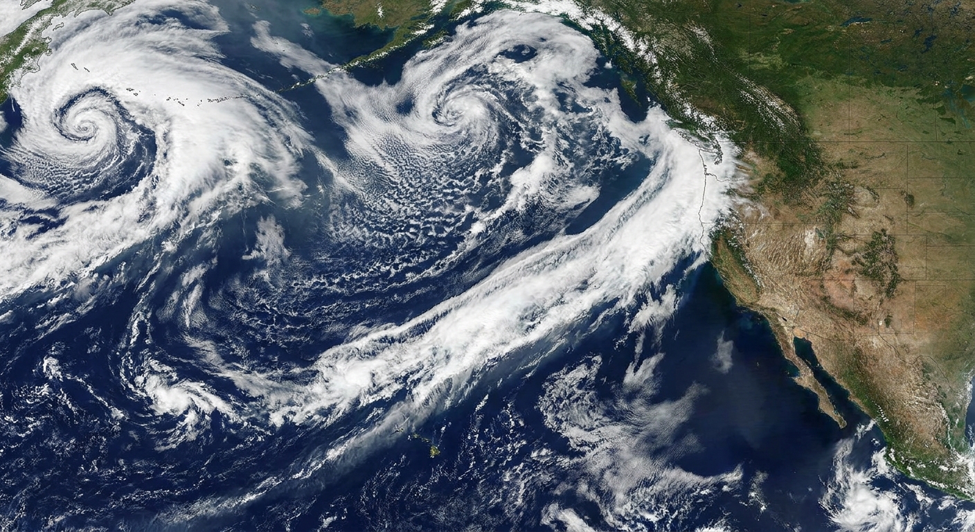
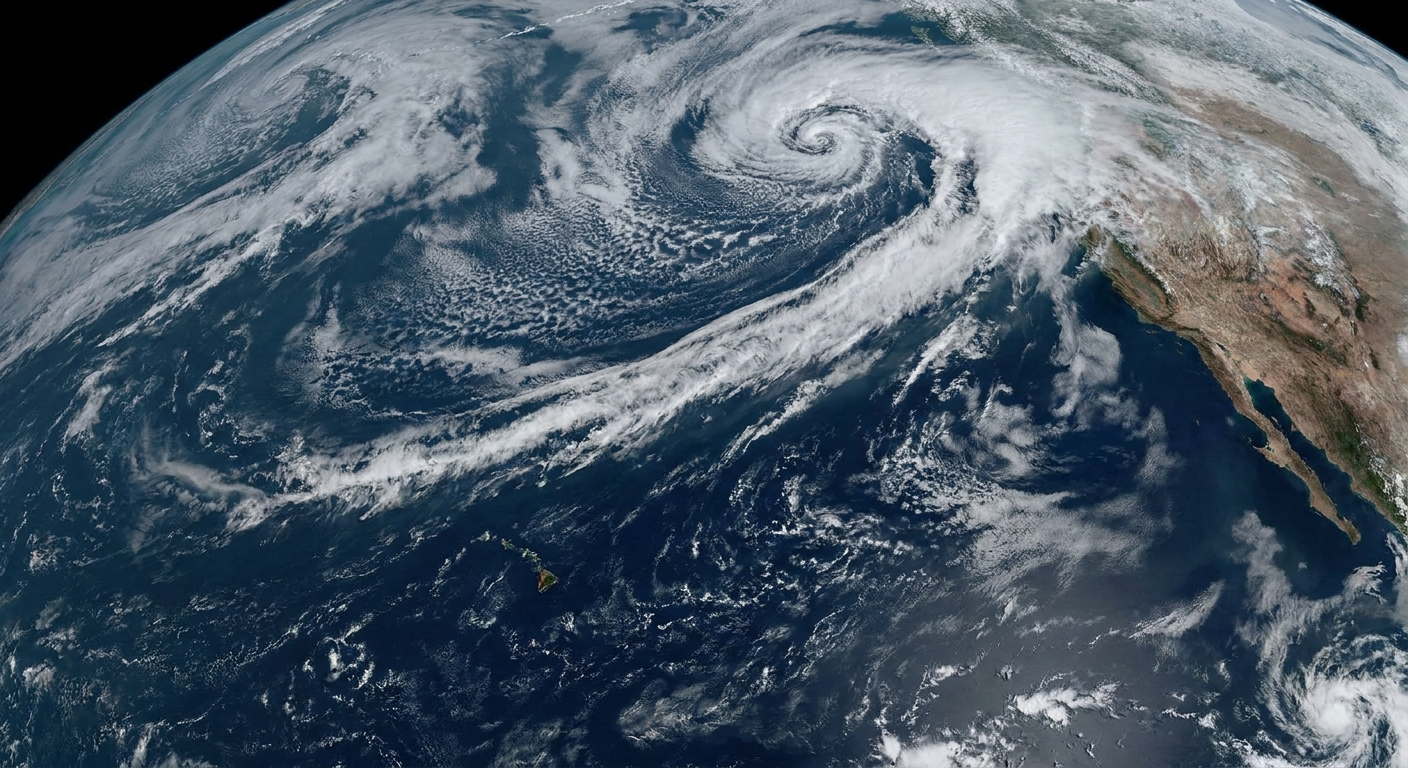
On satellite imagery, Pineapple Express setups often show up as a long, rope-like band of clouds stretching across the Pacific. The most eye-catching images are cloud patterns, but clouds are only the hint. The defining feature is the transport of water vapor, which meteorologists confirm with water-vapor products and especially integrated water vapor transport analyses, often shortened to IVT (a measure of how much moisture is being moved and how fast).
Visually, a classic setup often has:
- A narrow, continuous plume oriented southwest-to-northeast.
- A reach into the subtropics that may appear to point toward Hawaii.
- A thicker cloud shield near an approaching front or low-pressure system where precipitation is most intense.
Why the coast can get drenched
If you want one concept that explains a lot of the Pineapple Express’s punch, it is forced lifting.
When moisture-laden air hits coastal terrain, it is pushed upward. Rising air cools, and cooling air cannot hold as much water vapor. The vapor condenses into cloud droplets and then precipitation. The result can be hours to days of intense rainfall, especially where winds blow directly into mountain slopes.
Two ingredients that raise the stakes
- Duration: A slow-moving or repeatedly re-aimed plume can keep the faucet on for a long time.
- Orientation: The angle of the wind into terrain matters. Good aim into coastal ranges can maximize uplift and rainfall.
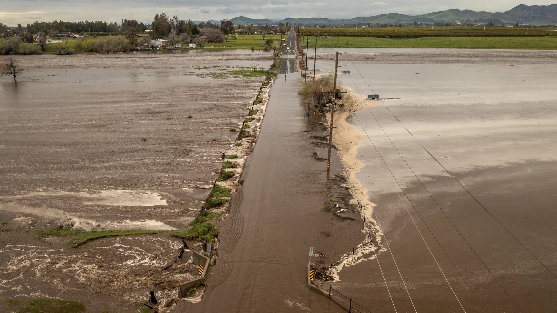
When the ground is already wet, persistence becomes perilous. Impacts can range from river flooding (water rising over days) to flash flooding (water rising fast), plus mudslides and debris flows, especially near burn scars where soil structure and vegetation have been altered. And while moisture is the headline, some events also arrive with strong winds if a vigorous Pacific low is involved.
Why the mountains can get buried
One of the Pineapple Express’s best tricks is that it can be a rain-maker and a snow-maker in the same storm cycle. Temperature changes quickly with elevation.
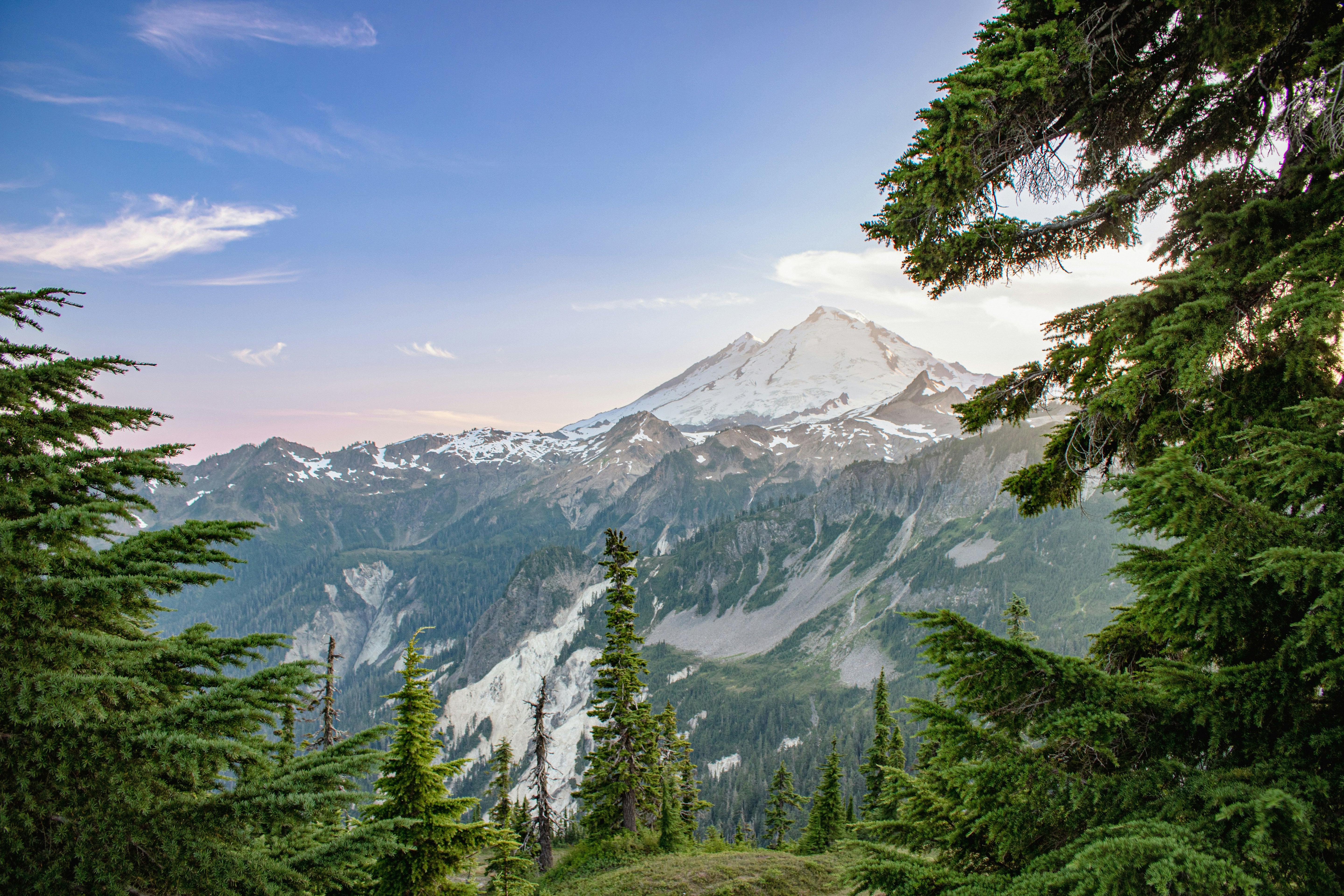
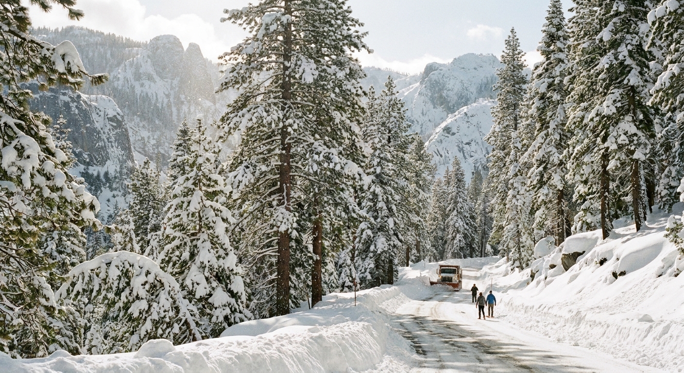
Near sea level, the air may be mild enough for rain. Higher up, the same moisture is lifted into colder layers of the atmosphere where it falls as snow. In West Coast ranges, that can mean torrential rain in valleys and very heavy snowfall at ski resort elevations and above.
Why snow level matters
Forecasters watch the snow level closely, meaning the approximate elevation where precipitation transitions from mostly rain to mostly snow.
- If snow levels are high, more precipitation falls as rain, increasing runoff and flood risk.
- If snow levels are lower, more water is stored temporarily as mountain snowpack.
Is it always bad?
Not at all. Like many dramatic-sounding weather terms, it describes a mechanism, not a moral judgment.
Benefits can include:
- Reservoir recharge and improved water supply, especially after dry stretches.
- Snowpack building at higher elevations, which can help sustain summer water availability.
Risks rise when the same mechanism lines up with vulnerable conditions, such as saturated soils, fragile slopes, high snow levels, or storms that arrive in rapid succession.
Patterns that can nudge it
Large-scale climate patterns can tilt the odds, but they do not schedule Pineapple Express events like appointments. El Niño and La Niña can shift the Pacific storm track and change which parts of the West Coast are more likely to see frequent landfalls in a given winter. Other patterns, including shorter-term swings in the jet stream, can also help aim or disrupt the moisture corridor. In practice, the details still come down to where the jet stream sets up and how individual lows and fronts line up with that moisture feed.
Climate change context
A warmer atmosphere can hold more water vapor, which means the ceiling for moisture transport and extreme precipitation can rise. Many researchers expect the most intense atmospheric rivers to become capable of carrying more moisture in a warming climate. Exactly how tracks, seasonality, and landfall locations shift is an active area of study, and those uncertainties matter a lot for who gets hit. The cautious takeaway is that the physics favors higher-end intensity when the pattern does occur, even if the year-to-year aiming of the firehose remains variable.
Common questions
Is it a hurricane?
No. It is a midlatitude moisture corridor, not a tropical cyclone. It can be connected to subtropical moisture, but it is typically steered and intensified by the jet stream and storm systems over the North Pacific.
Does it always start at Hawaii?
Not always in a literal sense. The nickname persists because the moisture pathway often reaches into the subtropics near Hawaii, but the key feature is the subtropical connection and strong transport toward the coast.
Why call it an atmospheric river instead?
“Atmospheric river” is the broader scientific term for a long, narrow corridor of strong water vapor transport. “Pineapple Express” is a widely used nickname for a particular Pacific pattern when that corridor appears to link the Hawaii region with the West Coast.
How long can it last?
It varies. Some events are brief, while others persist for multiple days or arrive in a series, with the moisture plume reloading as new storms follow similar tracks.
The takeaway
The Pineapple Express is best understood as a subtropical moisture highway aimed at the West Coast of North America. When that highway intersects with coastal mountains and an active storm track, the results can be spectacular: drenching rain near sea level and heavy snow in the high country, sometimes in the same day. The name is memorable. The physics is what makes it powerful.