If you have ever wondered why some winters in Europe feel like an endless parade of wind and rain while others bring stubborn cold snaps, you are bumping into one of the atmosphere’s favorite habits: it likes to rock back and forth between common patterns. One of the most influential for the Atlantic region is the North Atlantic Oscillation, or NAO.
Think of the NAO as a giant, semi-predictable tug-of-war in sea-level air pressure between two familiar players: the Icelandic Low and the Azores High. When that tug-of-war strengthens or weakens, it changes the winds over the North Atlantic and nudges the storm track that feeds weather into Europe and the eastern United States.

The NAO in one sentence
The North Atlantic Oscillation is an index that describes the surface-pressure seesaw between the Icelandic Low (a region where surface pressure is often lower than average) and the Azores High (a region where surface pressure is often higher than average).
Those two regions are not fixed “objects.” They are recurring centers of action. They show up on many weather maps, especially in the cool season, because of the typical way the atmosphere circulates over the Atlantic.
What does “seesaw” mean here?
It means the pressure difference between those two regions can become:
- Larger than usual (a stronger contrast)
- Smaller than usual (a weaker contrast)
The NAO index tracks that contrast. Meteorologists often talk about positive and negative phases.
- Positive NAO: a stronger-than-average pressure difference between the Azores region and the Iceland and Greenland region.
- Negative NAO: a weaker-than-average pressure difference, often with higher-than-normal pressure near Greenland and lower-than-normal pressure farther south.
One important detail: there are multiple NAO datasets and ways to compute the index. Some versions use a normalized pressure difference between representative points, and others use broader statistical methods. The big-picture idea is the same, but the exact number can vary by source.
Why a pressure pattern can steer storms
At the surface, winds do not just blow straight from high pressure to low pressure. Earth’s rotation deflects moving air, so the wind tends to flow mostly along pressure contours. Near the ground, friction matters too, so winds also cross the contours a bit from higher toward lower pressure.
When the pressure gradient across the North Atlantic changes, the prevailing westerly winds and the preferred track for mid-latitude cyclones shift too.
In plain language: the NAO helps decide whether Atlantic storms are more likely to roar toward northern Europe or take a more southerly route toward the Mediterranean, and it can also influence how much maritime air versus Arctic air reaches the eastern side of North America.

Positive NAO
In a positive NAO phase, the pressure difference between the Icelandic Low region and the Azores High region is typically stronger than average. That generally supports stronger westerly winds across the North Atlantic.
Typical winter impacts in Europe
- Northern Europe: Often milder and wetter than average, with more frequent Atlantic storm systems reaching the UK, Ireland, Scandinavia, and nearby regions.
- Southern Europe and the Mediterranean: Often drier than average, because the storm track tends to sit farther north.
Typical winter impacts in the eastern United States
The eastern U.S. effects are not as “one-switch” simple as in Europe, but a positive NAO often lines up with:
- Less blocking over the North Atlantic, which can make it harder for cold air to linger in the East.
- A tendency toward milder spells in parts of the eastern U.S., although other patterns can easily override this.
If you have heard people say, “A positive NAO usually means fewer big East Coast snowstorms,” that is a common rule of thumb. The idea is that without high-latitude blocking, storms are less likely to slow down and intensify near the coast.
Still, it is not a hard rule. Major East Coast storms can and do happen during a positive NAO when other ingredients line up, including the placement of the jet stream, coastal temperature contrasts, and patterns like ENSO that can shape the broader flow.
Negative NAO
In a negative NAO phase, the pressure contrast between the Iceland and Greenland region and the subtropical Atlantic is typically weaker than average, and the wind pattern over the Atlantic can become wavier.
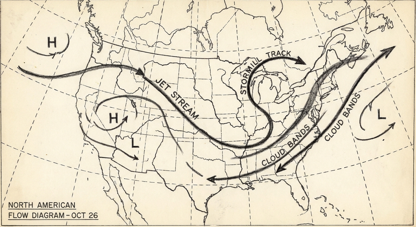
This phase is often associated with more frequent blocking over Greenland and the North Atlantic. In everyday terms, blocking is a stubborn, slow-moving high pressure pattern that can interrupt the usual west-to-east flow and force the jet stream to bend around it.
Typical winter impacts in Europe
- Northern Europe: More chances for colder outbreaks and fewer mild, ocean-driven surges, because the usual west-to-east storm conveyor belt can weaken or shift.
- Southern Europe: Often wetter than average as storms track farther south into the Mediterranean basin.
Typical winter impacts in the eastern United States
A negative NAO is famous in U.S. winter weather circles because it can favor:
- Colder setups downstream in the eastern U.S. when Greenland blocking helps carve a trough over eastern North America, allowing Arctic air to press southward.
- Nor’easter-friendly patterns in some cases, because Atlantic blocking can slow weather systems down and help them deepen near the coast.
Again, “favor” is the key word. A negative NAO loads the dice. It does not dictate the exact roll, and not every negative NAO produces sustained cold in the eastern United States.

NAO vs. Arctic Oscillation
The Arctic Oscillation (AO) is a different index. The AO describes a broader, hemisphere-scale pattern in surface pressure between the Arctic and the mid-latitudes.
The NAO, by contrast, is specifically focused on the North Atlantic and the Icelandic Low versus Azores High pressure difference.
Why people mix them up
They can be correlated at times. If the larger-scale AO is in a phase that encourages higher pressure over Greenland and lower pressure farther south, you can often see a negative-NAO-like setup emerge over the Atlantic. But they are calculated differently, cover different geographic footprints, and they are used for different forecasting conversations.
Quick distinction
- NAO: Regional, North Atlantic, Icelandic Low and Azores High seesaw.
- AO: Broader, Arctic versus mid-latitudes across much of the Northern Hemisphere.
What the NAO does not mean
A couple of quick guardrails help keep the NAO from becoming a weather horoscope.
It does not “cause” a single storm
The NAO describes the background steering environment that storms move through. Individual storms still depend on day-to-day ingredients like temperature contrasts, jet stream structure, moisture supply, and timing of shortwave disturbances.
It is not the polar vortex
You will sometimes see the NAO mentioned in the same breath as the polar vortex, because they can interact through the broader circulation. But the NAO is a surface-pressure index over the Atlantic. It is not a rebranding of the polar vortex.
How meteorologists use the NAO
In forecasting, the NAO is most useful as a context clue:
- Week to week: It can hint at whether the Atlantic is likely to stay “open for business” with a fast storm conveyor belt (often positive NAO) or become more blocked and wavy (often negative NAO). Predictability varies, but swings can sometimes be anticipated on the scale of days to a couple of weeks.
- Seasonal tendencies: Knowing which phase has been dominant can help interpret why a winter is trending stormy in northern Europe or unusually dry around the Mediterranean. Impacts are generally strongest in mid-winter, and can look different in the shoulder seasons.
As a former classroom teacher, I like to compare it to setting up a marble run. The NAO helps shape the rails. It influences where the marbles prefer to go. But each marble still has its own starting push and its own little bumps along the way.
FAQ
Where are the Icelandic Low and Azores High?
The Icelandic Low is commonly centered near Iceland and southern Greenland, while the Azores High is often centered near the Azores in the subtropical Atlantic. Their exact positions wander day to day and season to season, but those regions are where these pressure centers tend to show up.
Is the NAO only a winter thing?
No, the NAO exists year-round. It is just most influential and most discussed in winter, when the Atlantic jet stream is stronger and mid-latitude storms are more frequent.
Does a negative NAO always mean cold and snow in the eastern U.S.?
No. A negative NAO can make cold air outbreaks and certain snowstorm setups more likely, but temperature and snowfall still depend on storm track, available moisture, and what other climate patterns are doing at the same time.
Can climate change affect the NAO?
Researchers study how a warming climate might shift the average behavior of patterns like the NAO, including their typical strength, persistence, or preferred storm tracks. The picture is still an active research area, especially because the NAO naturally swings around a lot from year to year.