Curiosity, with all its quills showing.
Some weather systems barrel through like they have somewhere to be. Cold air damming is the opposite. It is cold air that settles in, leans its weight against a mountain range, and refuses to leave. If you have ever watched a forecast call for warming, only to spend the day stuck under low clouds and a stubborn chill, you have met the “CAD wedge” in the wild.
Cold air damming in plain terms
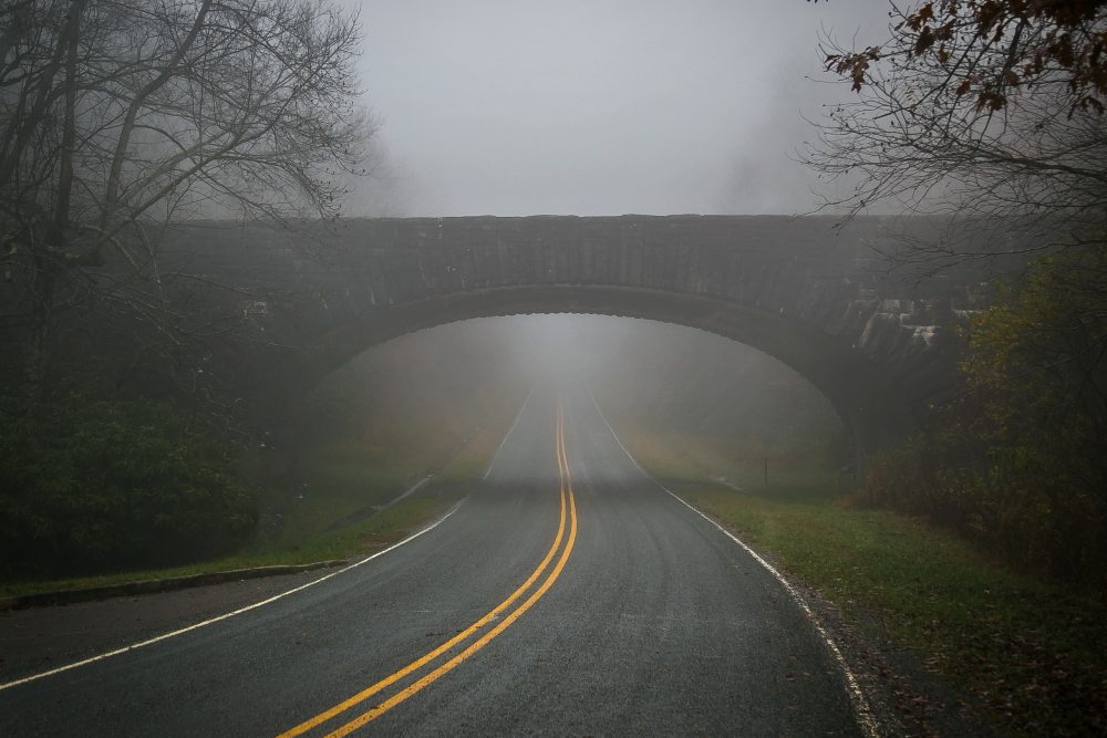
Cold air damming happens when cold, dense air becomes trapped on the downwind (eastern) side of a mountain range. In the eastern United States, that usually means cold air pooling east of the Appalachians, from Georgia and the Carolinas through Virginia and into the Mid-Atlantic.
The key idea is simple physics: cold air is heavier (denser) than warm air, so it tends to hug the ground. When pressure patterns feed a shallow cold layer toward the Appalachians, it cannot easily flow over the ridges. Instead, it banks up against them, like water piling against a dam. Above that shallow pool, warmer air can glide in and over the top.
The result is a temperature inversion and a familiar feel at the surface: chilly, damp, and slow to change.
How the “wedge” forms
Meteorologists often describe CAD as a wedge because of its shape on weather maps: a tongue of cool air at the surface that typically extends southwestward along the eastern slopes of the Appalachians.
The usual setup
- High pressure to the north or northeast funnels cool air southward. This is the classic ingredient: a supply of cold, dense air near the surface.
- Winds turn easterly or northeasterly along the Appalachian front (often called “wedging” flow). That helps push the cold air into the Piedmont and adjacent lowlands.
- Warmer air arrives aloft from the south or southwest. This warm, moist air rides up and over the shallow cold dome.
- Mountains block and trap the densest part of the air mass near the ground, keeping it shallow and persistent.
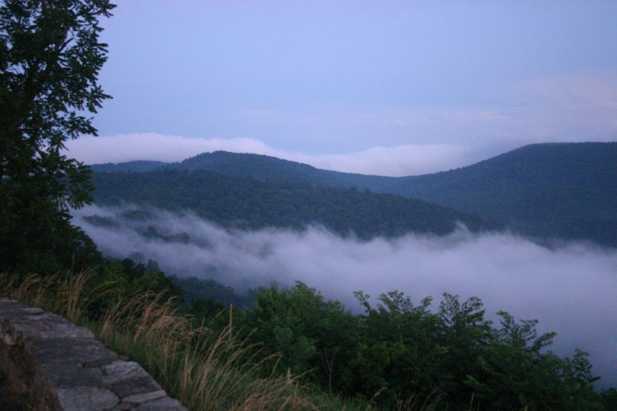
Because the cold layer is often on the order of hundreds to a couple thousand feet deep, conditions can change dramatically with elevation. A ridge top can be mild and breezy while a nearby valley stays raw and gray.
Why CAD brings clouds, drizzle, and ice
Once the wedge sets up, it becomes a reliable factory for low clouds and light precipitation.
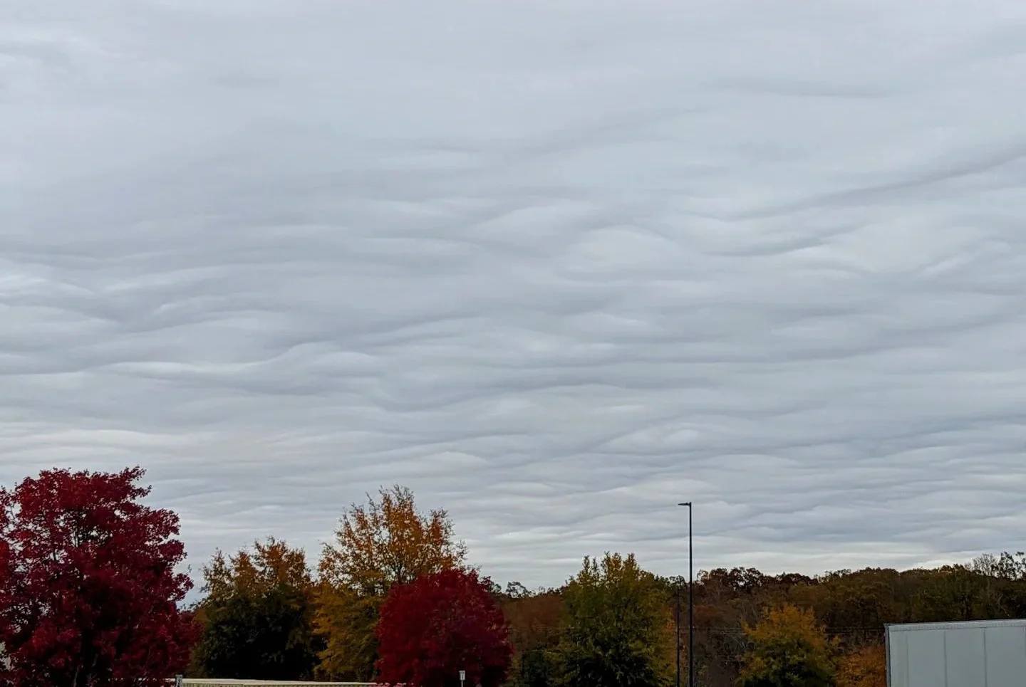
Persistent gray skies
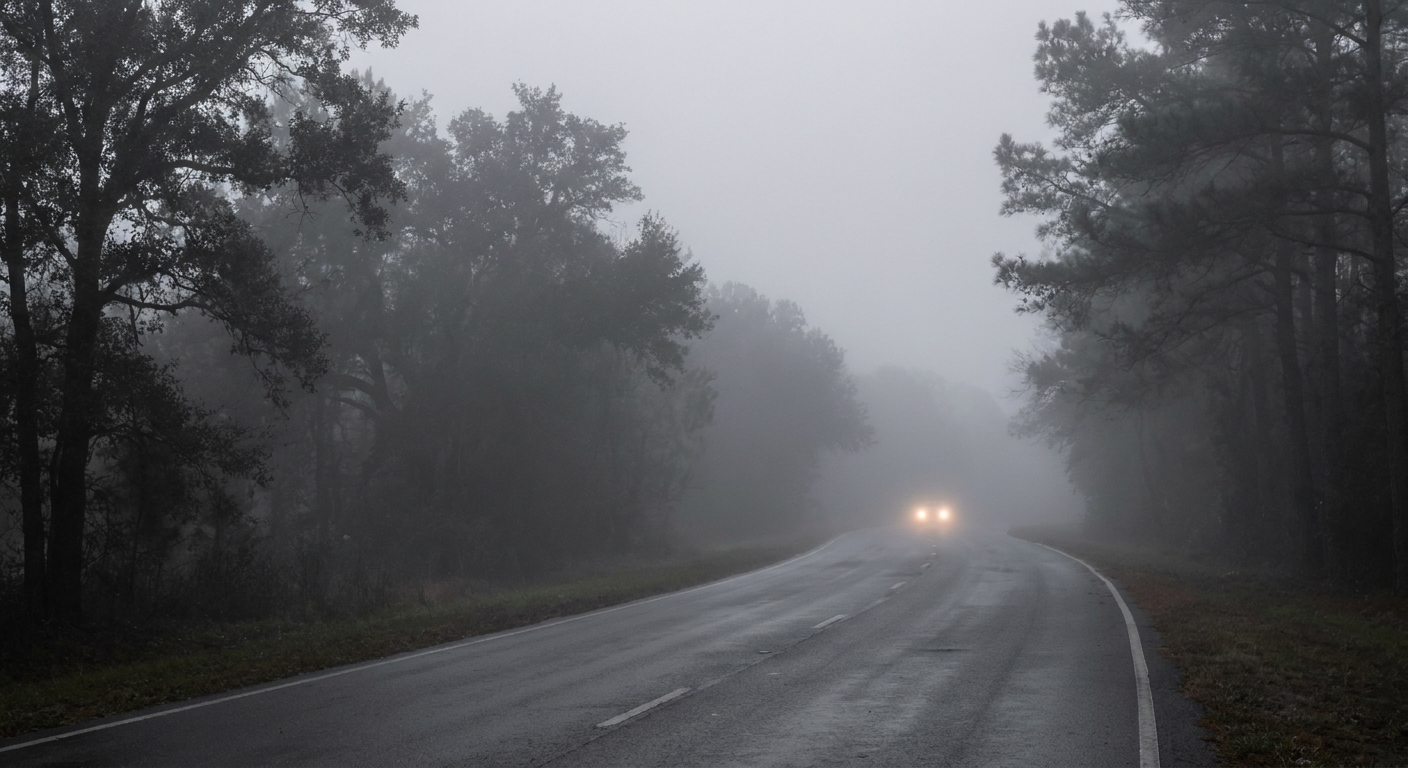
The cold dome near the ground is stable, meaning air does not want to rise and mix. Moisture that arrives in the lower atmosphere gets trapped, leading to stratus clouds and fog. Even if the sun is technically “up there,” the wedge can keep the surface dim and chilly all day.
Drizzle and light rain that will not quit
CAD events often produce drizzle or light rain instead of dramatic downpours. The atmosphere can be saturated in the low levels with gentle lift, which is perfect for fine droplets and long stretches of nuisance precipitation.
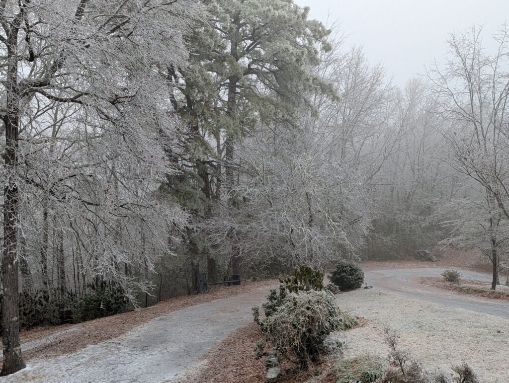
Freezing rain risk
Cold air damming is infamous in winter because it can create the classic vertical sandwich for freezing rain:
- Below freezing at the surface inside the wedge
- Above freezing aloft where snowflakes melt into raindrops
- Too shallow a cold layer near the ground for those drops to refreeze into sleet, so they stay liquid until they hit roads, trees, and power lines
That is why a CAD setup can turn a “just rain” forecast into an ice problem, or keep temperatures at 30°F when you were told 38°F by afternoon.
If freezing rain is on the table, the impacts can pile up fast: slick travel, falling limbs, and power outages. Treat a small glaze like it means business.
Why temperatures often bust during CAD
Cold air damming is a frequent culprit behind temperature forecasts that miss the mark, usually on the warm side. A few reasons:
- Shallow cold layers are hard to model. Numerical weather models represent the atmosphere in layers. When the cold dome is thin and terrain-influenced, small errors in depth and mixing can mean big surface temperature differences.
- Cloud cover blocks daytime warming. If low clouds and drizzle persist, solar heating is weak, so the wedge erodes slowly.
- Cold air is sticky. Dense air resists being lifted out. Even when winds aloft shift and warmer air arrives, the surface can lag for hours.
- Terrain creates microclimates. Locations closer to the mountains or in sheltered valleys tend to hold onto the cold longer than open, well-mixed areas.
In other words, CAD is a reminder that near-surface weather is not just about air masses. It is also about how air moves around obstacles, and the Appalachians are an enormous obstacle.
When it shows up
Cold air damming can happen in any season, but it matters most in the cool months, roughly late fall through early spring. That is when strong highs are more likely to build to the north and shallow cold air near the ground can hold its shape for a long time. In summer, CAD can still bring a gray, drizzly day, but the sun and warmer ground often help mix it out sooner.
How cold air damming ends
Every wedge breaks eventually, but it can be abrupt or painfully gradual.
Common wedge breakers
- Stronger winds and mixing: If winds increase enough, turbulence can stir warmer air downward and scour out the cold dome.
- Warm advection wins: Continued warm air flowing in above the surface can deepen the above-freezing layer and eventually raise surface temperatures, especially if precipitation lightens and clouds thin.
- A frontal passage: A cold front or warm front moving through can replace the local pattern entirely, though CAD sometimes delays or distorts frontal timing near the surface.
Forecasters often watch for signs of “wedge erosion,” like rising cloud bases, improving visibility, a wind shift, and temperatures creeping up first from the south or southeast, depending on storm track.
Forecast clues
You do not need a meteorology degree to spot the ingredients. A few tells often show up together:
- A strong high parked over New England or southeastern Canada
- Surface winds from the northeast or east east of the Appalachians
- Temperatures warming aloft while the surface stays stubbornly cold
- Low clouds expanding and visibility getting worse, not better
- Light, steady precipitation that lasts for hours
Where it happens most
Cold air damming can occur near mountain ranges worldwide, but the Appalachians are a particularly efficient wedge-maker because of their long orientation and the frequent wintertime pattern of high pressure sliding into the northeastern United States and southeastern Canada.
In the eastern US, CAD is especially common east of the Blue Ridge and into the Piedmont, including areas near cities like Atlanta, Charlotte, Greensboro, Raleigh, Richmond, and Washington, DC. Exact impacts depend on storm track, wind direction, and how cold the air mass is to start with.
Quick clues you might be in a CAD wedge
- It is colder than forecast, especially in the afternoon.
- The wind at the surface is northeasterly or easterly and feels damp.
- You have low clouds or fog that do not lift.
- Radar shows light, steady precipitation that lasts for hours.
- Nearby higher elevations are warmer or have a different precipitation type.
FAQ
Is cold air damming the same as the polar vortex?
No. The polar vortex is a large-scale circulation pattern in the stratosphere and upper atmosphere that can influence where cold air masses go. Cold air damming is a regional, near-surface trapping mechanism that can happen whenever cold dense air is supplied and terrain and pressure patterns cooperate.
Does CAD always mean ice?
Not always. Many wedges bring only clouds, fog, and chilly drizzle. Ice becomes a concern when precipitation falls into a subfreezing surface layer while warmer air exists above it.
Why can it be warmer on a ridge than in town?
Because the wedge is shallow. A town in the Piedmont can sit inside the cold dome, while a nearby ridge pokes into the warmer air above the inversion.
How long can a wedge last?
It varies from several hours to multiple days. Strong high pressure feeding cold air from the north, combined with persistent cloud cover and steady moisture, can make CAD especially long-lived.