Curiosity, with all its quills showing.
If you have ever watched a weather map and noticed the neat separation between cold fronts and warm fronts start to blur, you have likely seen the story of an occluded front. It is the stage where the cold front overtakes the warm front within a maturing storm, and the warm air that used to sit at the surface gets lifted off the ground.
The simple definition
An occluded front forms when a cold front overtakes a warm front. The key result is that the warm air is forced upward, no longer in contact with the surface. At ground level, you are left with two cooler air masses meeting, with the warm sector essentially pinched off from the surface.
On many weather maps, an occluded front is drawn as a purple line with alternating semicircles and triangles on the same side. That symbol is the mapmaker’s way of saying: “the cold front caught up.”
How occlusion happens
Occluded fronts are strongly associated with mid-latitude cyclones, the large low-pressure systems that steer much of the day-to-day weather in the middle latitudes.
Step by step
- Early stage: A developing low forms along a boundary between cold and warm air. Distinct warm and cold fronts begin to organize around it.
- Mature stage: The cold front often advances faster than the warm front as the cyclone evolves. The warm sector becomes a wedge of warm, moist air between them.
- Occlusion: The cold front catches the warm front near the storm center. The warm sector is lifted aloft and the surface fronts merge into an occluded front.
- Later stage: With less warm, moist air feeding in at the surface, the cyclone often begins to weaken, though not always. Some systems can remain intense, or even deepen for a time, as the storm wraps up.
In other words, occlusion often marks a storm’s turning point as the near-surface warm sector gets cut off, even if the storm itself is still throwing its weight around.
What weather it brings
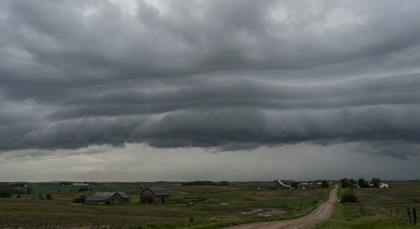
Because occlusion is about lifting warm air, it is efficient at producing clouds and precipitation. But it tends to be less tidy than the textbook “narrow cold-front rain band” or the “wide warm-front shield.”
Clouds: wrapped and layered
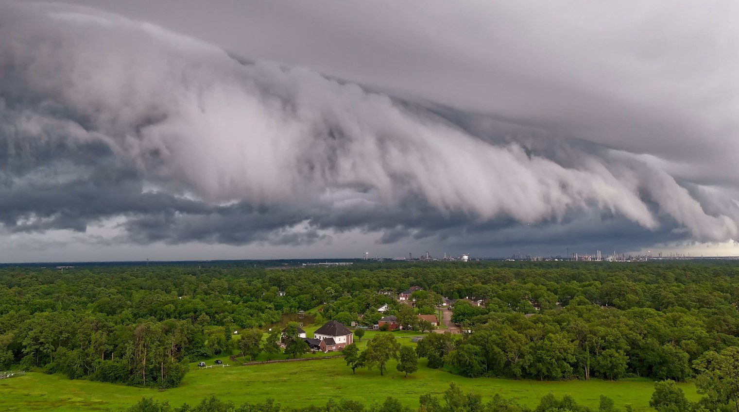
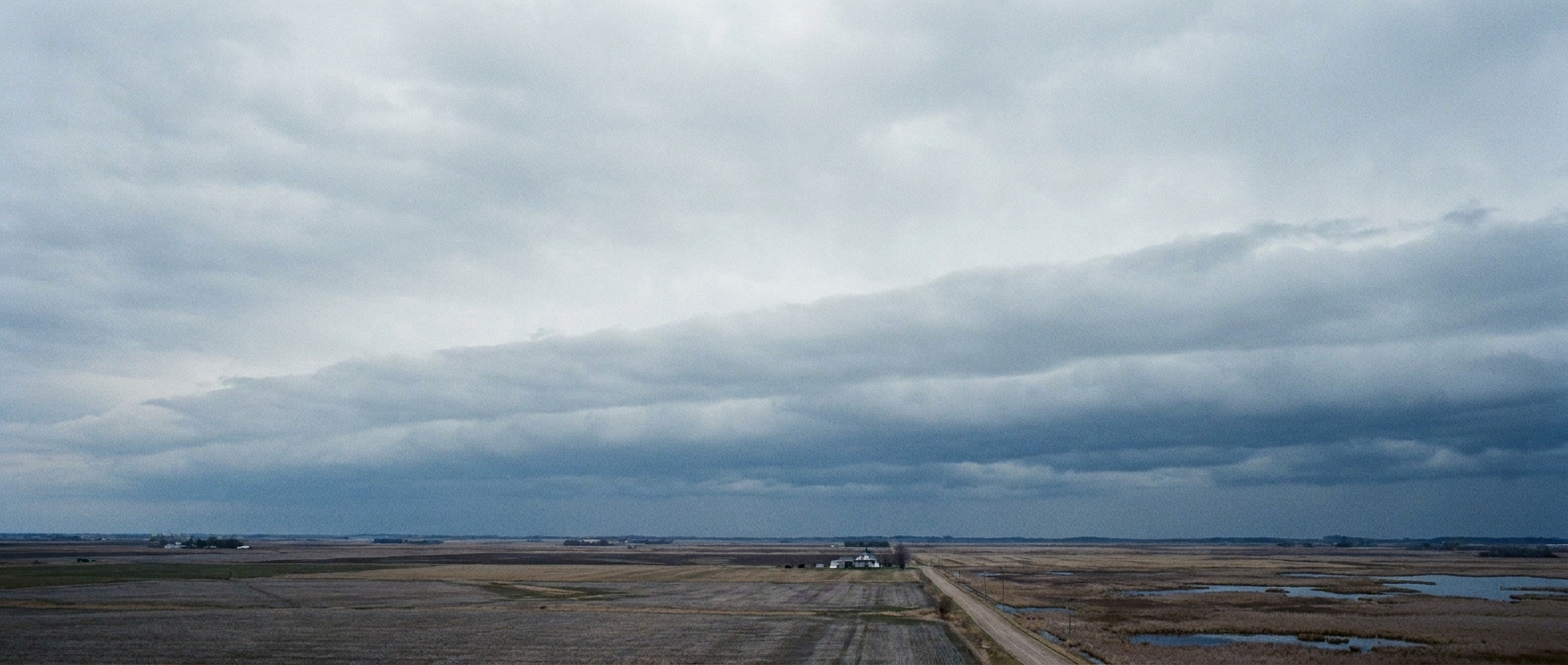
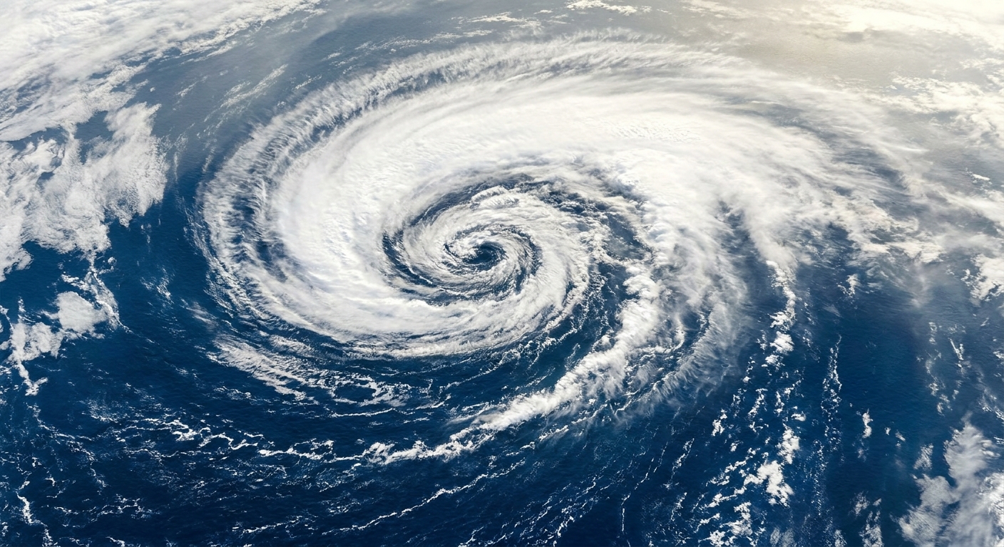
As the system matures, clouds commonly take on a wrapped structure around the low. You often see extensive layered clouds, such as:
- Nimbostratus and altostratus producing steady precipitation
- Stratus and low cloud decks near the surface in cooler air
- Embedded convective elements at times, especially if the air aloft is cold enough to steepen lapse rates
Precipitation: where it falls
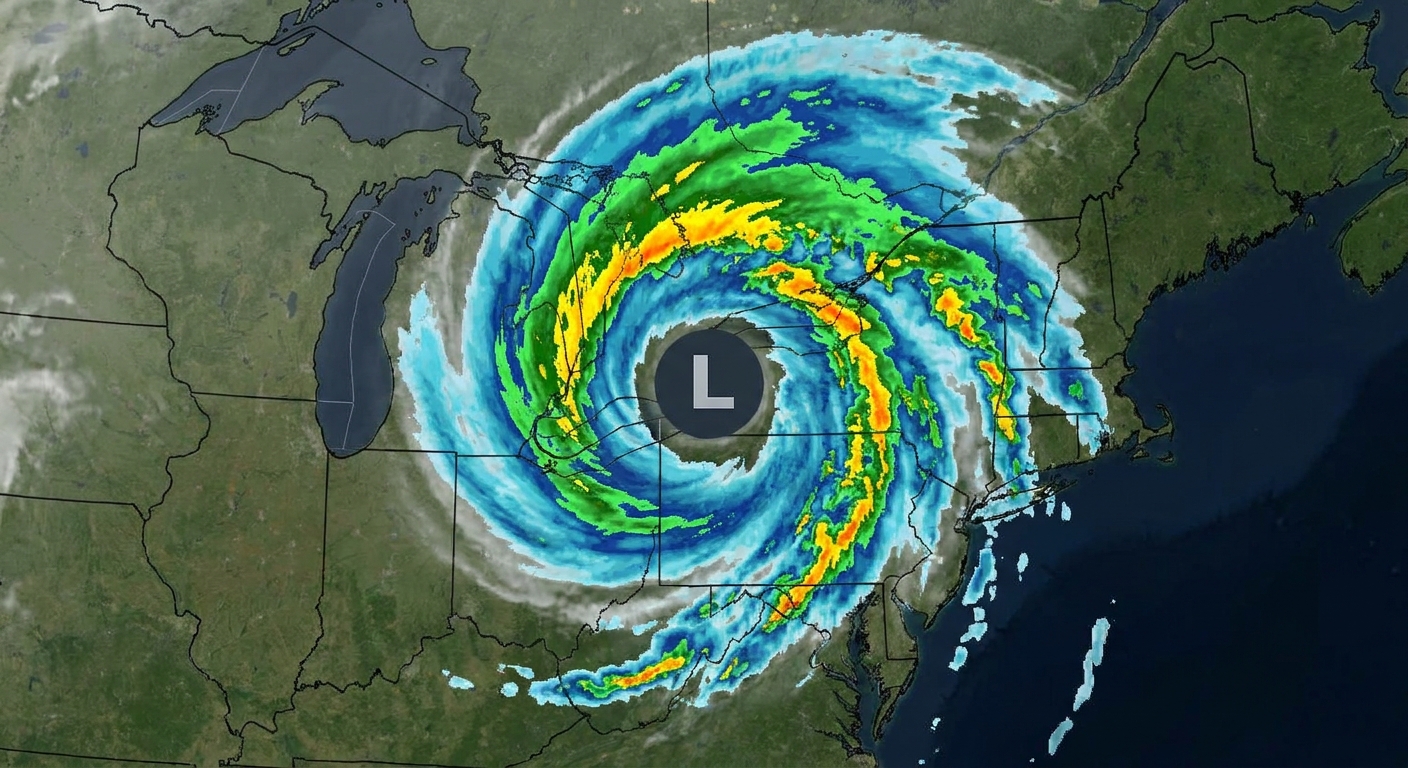
In a classic occlusion, precipitation is often found near and around the low pressure center and along the occluded front extending away from it. Rather than a simple line, it can look like a comma-shaped swath of rain or snow that curls back toward the storm center.
Common precipitation features include:
- Widespread steady rain or snow near the occlusion and on the poleward side of the low, often north and west to northwest of the center
- Mixed precipitation in transition zones, especially in cooler seasons when temperatures hover near freezing
- Heavier bursts where bands set up within the broader shield
If you are in a region where cold air is entrenched at the surface, occlusions can be efficient snow producers because the warm air is forced to rise over cold air, condense, and precipitate into an environment that stays below freezing.
Cold-type vs warm-type
Meteorologists often describe two main flavors of occlusion. The distinction depends on which air mass is coldest near the ground after the fronts merge.
Cold-type occlusion
A cold-type occlusion occurs when the air behind the cold front is colder than the air ahead of the warm front. The colder air undercuts everything, acting like a wedge that lifts the less-cold air ahead of it.
Warm-type occlusion
A warm-type occlusion occurs when the air ahead of the warm front is colder than the air behind the cold front. In that case, the not-quite-as-cold air behind the cold front rides up over the colder air already in place near the surface.
Both are “occlusions” because the surface warm sector is removed either way. The type mainly affects the detailed structure of temperature gradients and the vertical layering of air masses.
How it looks on a map
On a surface analysis map, an occluded front is typically shown as a purple line with alternating triangles and semicircles on the same side. The triangles point in the direction the occlusion is advancing, similar to other front symbols.
Two extra map-reader details can help:
- Surface changes can be subtle: Compared with a classic cold front, temperature and wind shifts at the surface along an occluded front can be less dramatic because you are often moving between two cool air masses.
- Watch the triple point: This is where the cold front, warm front, and occluded front meet. It is often a focus for changing weather and storm evolution.
On radar and satellite, the story can be even more vivid:
- Satellite: a curved, wrapping cloud shield around the low
- Radar: a broad precipitation area with arcs or bands curling back toward the storm center
Where it fits
If warm fronts and cold fronts are the storm’s organized arms, occlusion is the moment those arms start to wrap together near the center.
In many storms, occlusion appears during the mature to late-mature phase of a mid-latitude cyclone. It often signals that the storm is beginning to lose easy access to warm, moist air at the surface, a key ingredient for maintaining strong contrasts and continued development. The storm can still be vigorous, but the configuration is changing.
One useful mental image is this: a mid-latitude cyclone often grows by feeding on strong temperature differences between air masses. Occlusion reduces those differences at the surface near the center by lifting the warm air away, which helps explain why many cyclones weaken after occluding. Often, though not always.
Quick FAQ
Does an occluded front mean the storm is dying?
Not instantly. Occlusion often occurs near a storm’s peak organization and can still bring heavy precipitation and strong winds. But it commonly marks the beginning of a weakening trend as surface warm air is cut off.
Is an occluded front stronger than a cold front?
It is not “stronger” in a single universal way. A cold front often has a sharper, narrower lifting zone. An occluded front can produce more widespread precipitation because of layered, large-scale lifting near the storm center.
Can an occluded front produce thunderstorms?
Sometimes, especially if cold air aloft creates enough instability. More often, occlusions are associated with broad, steady rain or snow, with occasional heavier bands.
The takeaway
An occluded front is what happens when a cold front catches a warm front and lifts the warm air off the surface. The result is a mature storm structure with wrapped clouds and a curved precipitation pattern around the low pressure center. In the life of a mid-latitude cyclone, occlusion is a hallmark of the system shifting away from a clean, surface-based warm sector, toward a phase where it often gradually weakens, even if the weather on the ground still feels very much alive.