Curiosity, with all its quills showing.
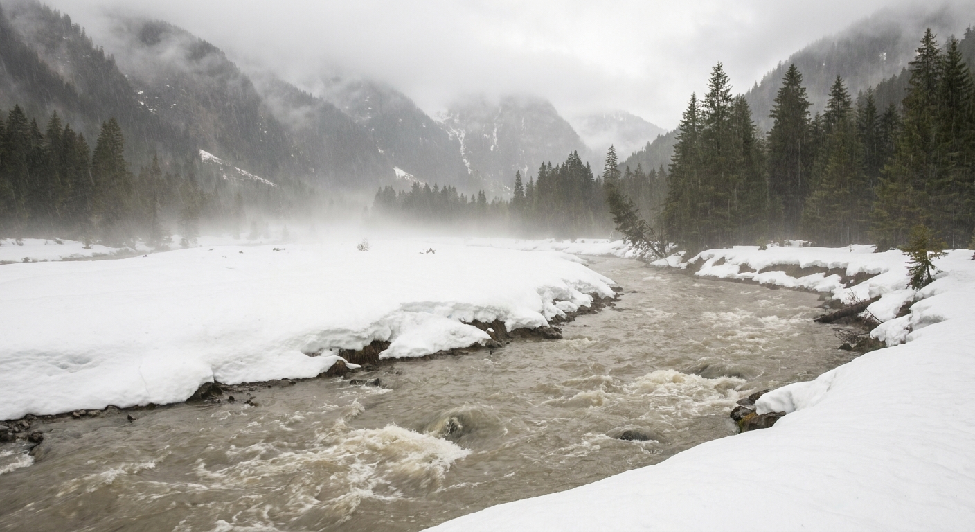
A rain-on-snow flood is exactly what it sounds like, and also sneakier than you might guess. It is a flood triggered when rain falls onto an existing snowpack and the landscape responds as if someone opened two faucets at once. One faucet is the rain itself. The other is the snowpack, which can start releasing water much faster than it would under gentle spring sunshine.
When conditions line up, rivers can rise rapidly, sometimes over large areas at once, because the extra water is not just coming from the sky. It is coming out of the snow on the ground too.
The simple definition
A rain-on-snow flood happens when rain falls onto a snowpack and the combined water from rainfall plus snowpack outflow produces unusually high runoff into streams and rivers.
Often, the highest risk shows up when the snowpack is ripe, meaning it has warmed and is already holding liquid water within its pores. Like a sponge that is already wet, it cannot absorb much more. Add rain, and it starts to drain. But a ripe snowpack is not the only path to trouble. A long or intense rainstorm on colder snow can still generate damaging runoff, especially if the ground beneath is frozen or drainage is poor.
How rain turns snow into runoff
Snow is not a solid block. It is a porous matrix of ice grains and air spaces that can temporarily store liquid water. In winter, colder snow can soak up rain or meltwater and refreeze some of it, at least up to a point. If rainfall is heavy, lasts long enough, or the pack warms during the storm, that buffering ability can get overwhelmed.
1) The two-sources problem
In an ordinary rainstorm, the watershed mainly deals with one input: rain. In a rain-on-snow event, the watershed can receive:
- Direct rainfall draining downslope
- Snowmelt released because the storm warms the snow and helps it melt
- Stored liquid water already inside the snowpack, flushed out as drainage pathways open up
That stacking of inputs is why a storm that would be manageable in summer can be a major flood in a snowy basin.
2) Warmth matters, and so does rain
People often picture snowmelt floods as a sun problem, but storms can melt snow fast too. Several mechanisms work together:
- Warm air temperature raises the snowpack temperature toward the melting point.
- Rain transfers heat directly into the snow. If the rain is above freezing, each drop arrives as a tiny packet of warmth.
- Condensation releases heat when moist air meets a colder snow surface, adding energy that promotes melt.
- Wind speeds energy exchange, helping warm, humid air deliver heat to the snow surface.
Not every rain-on-snow event needs all of these to be dangerous, but the worst ones tend to feature warm, wet, windy storms that linger.
3) The ripe tipping point
A snowpack becomes ripe when it is near 0°C (32°F) through much of its depth, close to isothermal, and already carrying liquid water. At that point, it stops acting like a storage tank and starts acting like a leaky reservoir. Rainfall can push it from holding to releasing in a hurry.
Why frozen ground can make it worse
One of the most important amplifiers is what is happening under the snow.
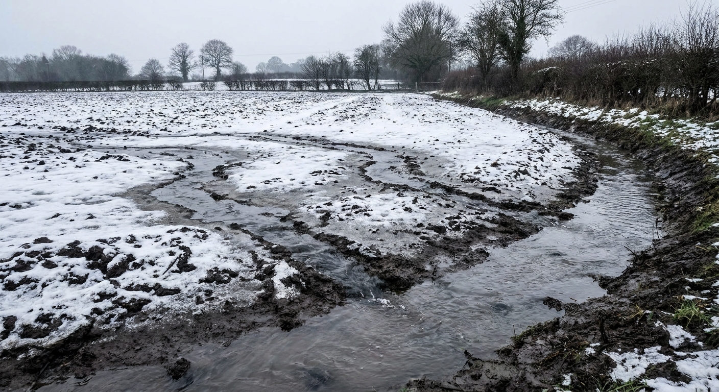
If the soil is unfrozen and thirsty, some meltwater and rain can infiltrate, reducing runoff. But if the ground is frozen or sealed by an ice layer, water cannot soak in easily. It has to move across the surface or through shallow pathways into channels.
This is why rain-on-snow flooding is often associated with:
- Frozen or partially frozen soils
- Ice crusts near the surface
- Compacted snow that sheds water quickly
Think of it as the difference between pouring water onto a sponge versus onto a dinner plate.
Where rain-on-snow floods are likely
Not every snowy place is equally vulnerable. Rain-on-snow floods favor landscapes where snow persists, storms can deliver mild air, and water can reach rivers quickly.
Mountain and foothill zones
Many classic rain-on-snow events occur in the mid-elevation band of mountain ranges. High elevations may stay cold enough for snow instead of rain, while low elevations may have little snow to begin with. The middle zone is where rain can fall onto substantial snowpack.
Maritime mountain climates
Coastal and near-coastal ranges often see relatively warm, moisture-rich storms in winter. That combination increases the odds of rain falling on snow, especially during brief warm spells.
Big snow-covered basins
A small patch of snow in a sunny backyard is not a flood mechanism. A watershed-scale snowpack is. The bigger the area of snow feeding the channel network, the more widespread the runoff pulse can be.
Steep terrain and tight valleys
Steep slopes and confined valleys move water quickly. When runoff reaches streams faster than channels can carry it away, water rises. Narrow canyon sections, alluvial fans, and valley bottoms can be especially exposed.
A quick real-world anchor
If you live in places like the Pacific Northwest, parts of the Sierra Nevada and Cascades, or the Northeast during midwinter thaws, you have probably seen the setup: a mild, wet storm arrives, the snow level climbs, and multiple tributaries rise at once. The geography changes, but the mechanism stays familiar.
How it differs from other floods
Rain-on-snow vs. flash flood
A flash flood is defined by how quickly it develops, often within minutes to a few hours after intense rainfall, dam failure, or sudden release of water. Rain-on-snow floods can be fast, but they are defined by the mechanism: rain plus snowpack water arriving together.
Rain-on-snow vs. atmospheric river events
An atmospheric river is a long, narrow corridor of concentrated water vapor in the atmosphere that can deliver heavy precipitation when it makes landfall. Some atmospheric river storms produce rain-on-snow flooding, but you can have rain-on-snow without an atmospheric river, and you can have atmospheric rivers that fall mostly as snow at high elevations.
What it looks like on the ground
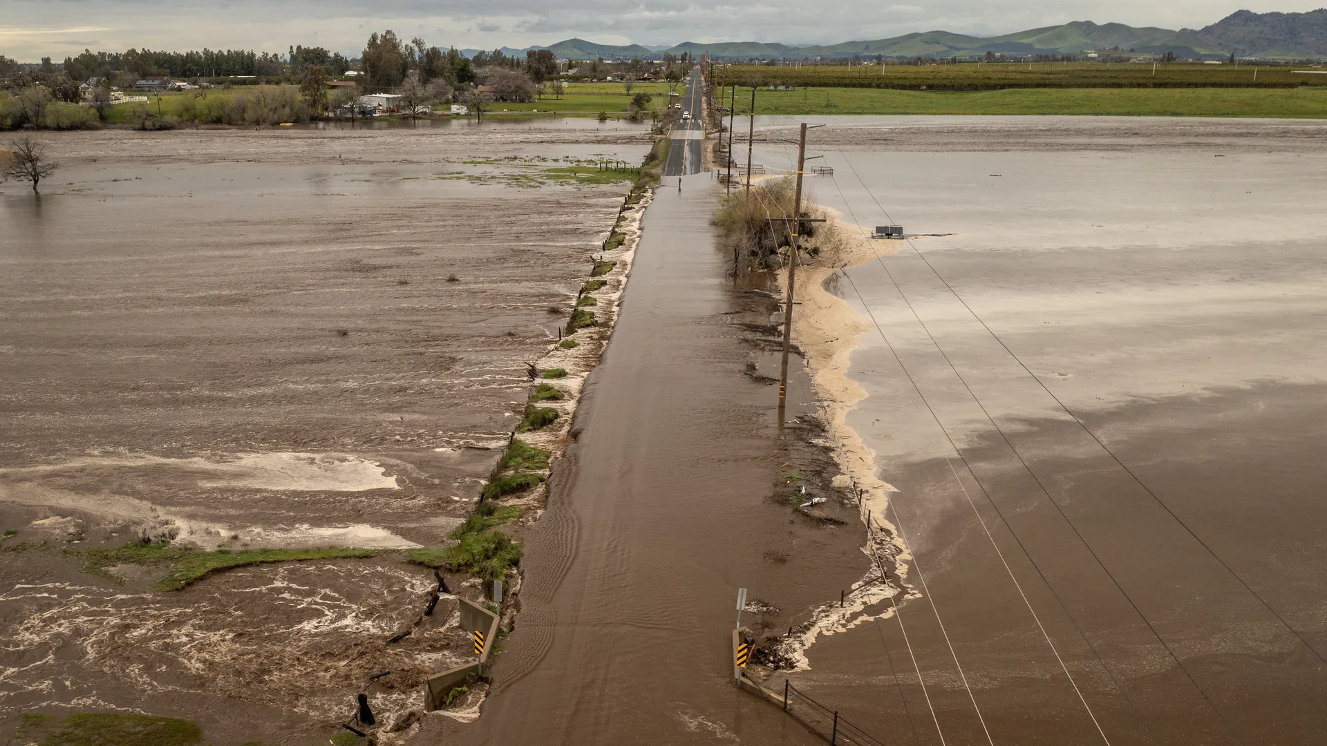
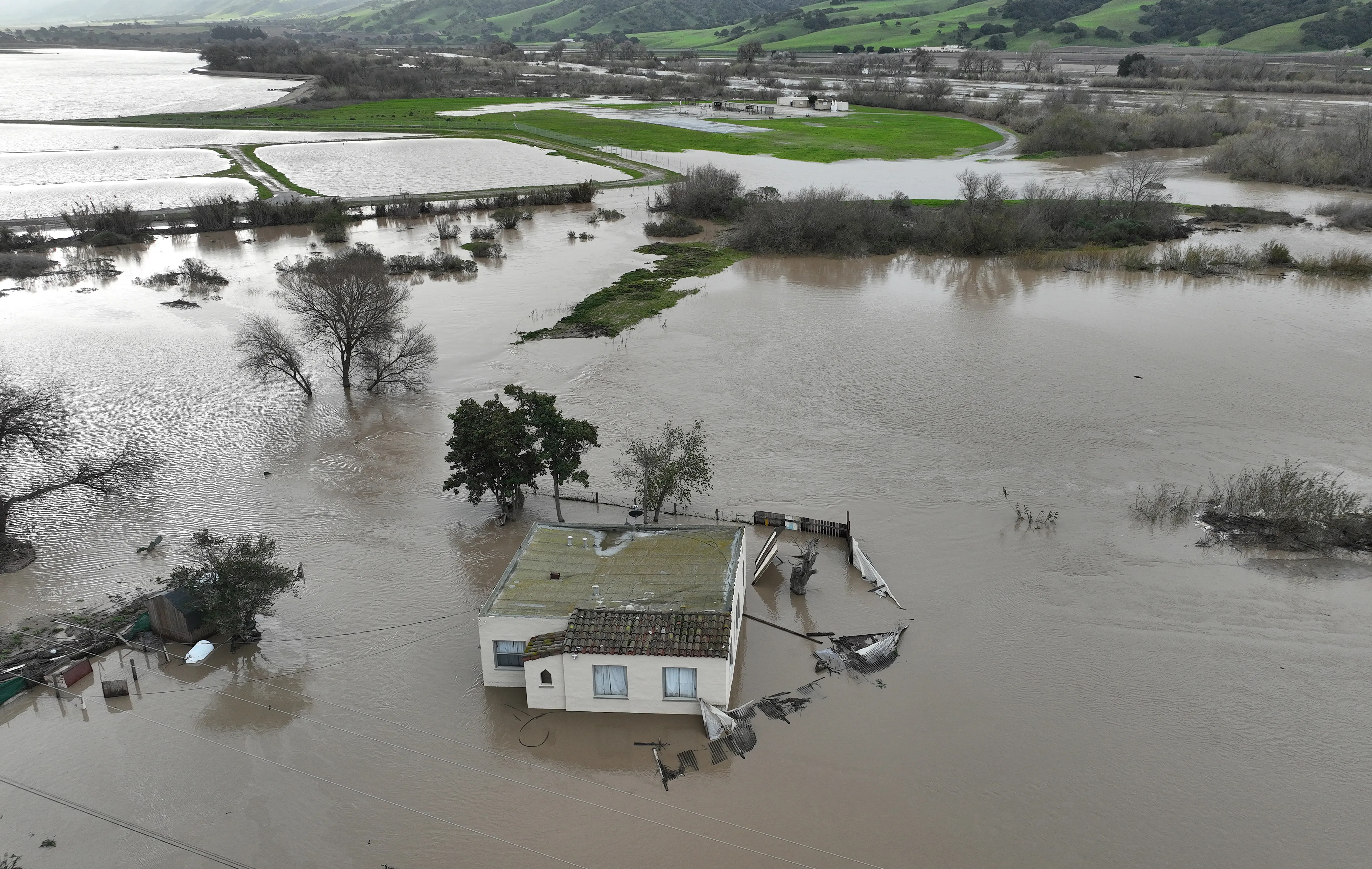
Because the water source is spread across the landscape, these floods often feel like a basin-wide wake up of waterways:
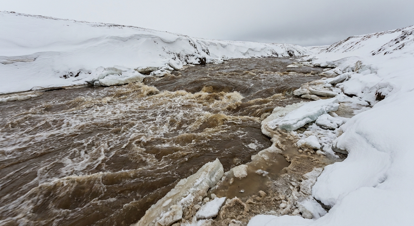
- Small creeks that were quiet under snow begin running audibly, sometimes overnight.
- Roadside ditches and culverts start carrying turbid, slushy water.
- Rivers rise for longer than you would expect from rainfall alone.
- Ice jams can form or break up in cold regions, adding another layer of risk.
In some cases, flooding persists even after the rain ends, because the snowpack remains warm and continues releasing meltwater.
Why forecasting is tricky
Predicting rain-on-snow flooding requires more than a rainfall total. Forecasters also watch the snowpack and the ground beneath it, including:
- Snow water equivalent (SWE): how much water is stored in the snowpack.
- Snow temperature and liquid water content: whether the pack is cold and absorbent or warm and ready to drain.
- Rain-snow line elevation: where precipitation falls as rain versus snow.
- Storm duration: long storms can overwhelm storage and channels even if hourly rain rates are moderate.
- Soil freeze state: how much infiltration is possible.
This is also why two storms with similar rainfall can produce very different river responses depending on how primed the snowpack and soils were beforehand.
Practical safety notes
I will keep this grounded and non-dramatic: most people do not need to become hydrologists. But if you are in a mountain valley or downstream of a large snow-covered basin, rain-on-snow is one of the reasons to take flood messaging seriously even in winter.
- Pay attention to warm, wet storms after long cold periods, especially when forecasts mention rising snow levels.
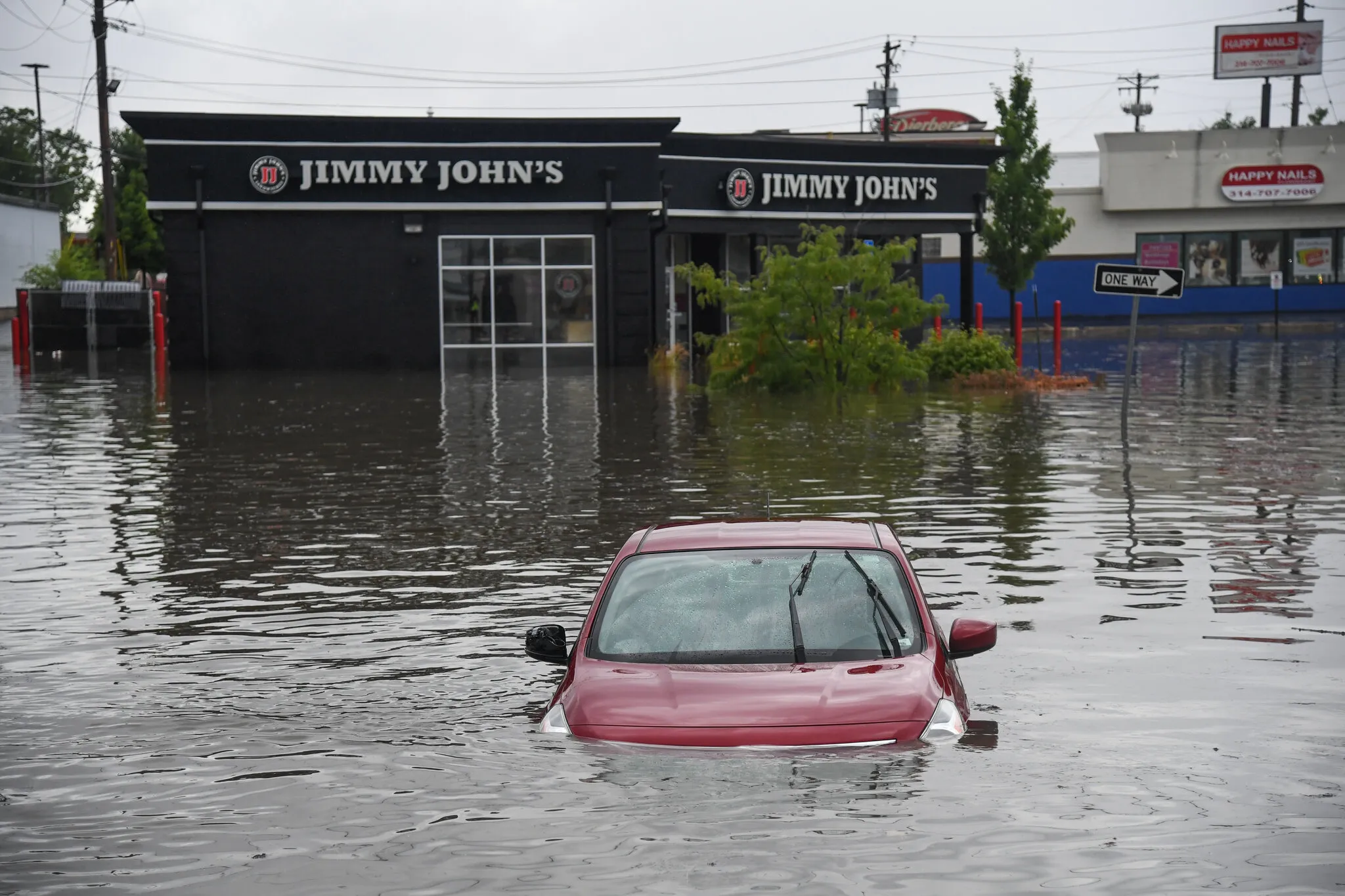
- Do not drive through flooded roadways. Water depth and road integrity are hard to judge, and runoff can undercut pavement.
- Watch small channels near your home. If ditches and creeks are rising quickly, larger rivers may follow.
- Have an alternate route if your neighborhood relies on one low-lying road.
- In towns and developed valleys, keep an eye on culverts and storm drains. When snow and debris clog them, water finds creative routes.
For local decisions, the most reliable guidance comes from your regional weather service, flood warnings, and local emergency management.
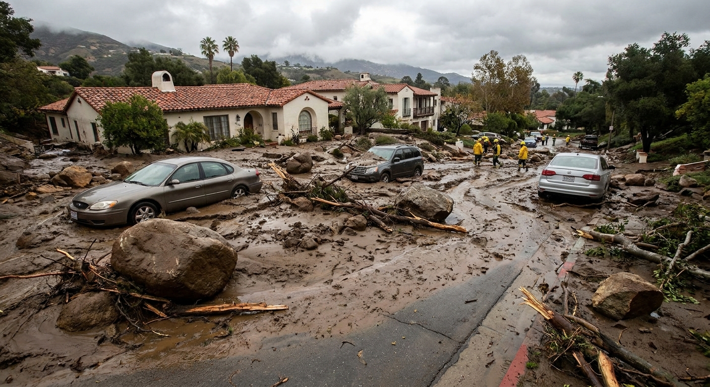
One more note, especially in steep terrain: warm storms that rapidly wet up snow and soil can also increase the odds of slope failures, from small slumps to debris flows. If your area is prone to landslides, take saturation seriously.
Quick questions
Does rain always melt snow?
Not always. If the snowpack is cold, it can absorb rainwater and refreeze some of it, at least for a while. The most flood-prone setup is a snowpack that is already near melting and already holding liquid water, or a situation where rain falls faster and longer than the snow and soils can handle.
Is rain-on-snow only a spring problem?
No. It can happen anytime rain falls on snow, including midwinter thaws. The risk depends on storm warmth, duration, and whether the snowpack and ground are set up to shed water.
Why does the rain-snow line matter so much?
Because it determines how much of the watershed is contributing immediate runoff. If a storm that would normally drop snow at mid elevations arrives warm enough to deliver rain there instead, a much larger area starts sending water into streams at the same time.
Can rain-on-snow flooding be widespread?
Yes. Since the added water comes from snow spread across the basin, the runoff pulse can occur over many tributaries simultaneously, pushing mainstem rivers higher than rainfall alone would suggest.