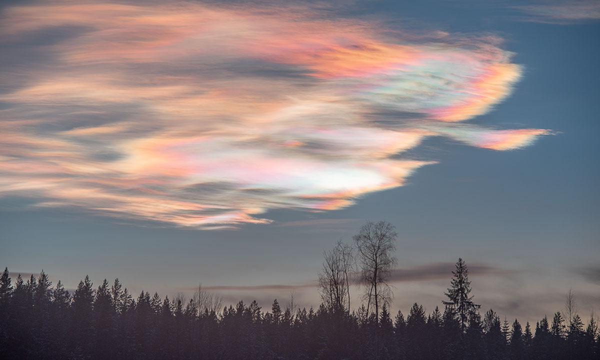
The first time I saw a photo of a polar stratospheric cloud, I honestly thought someone had cranked the saturation slider too far. The sky looked like spilled opal: silky bands with pastel greens, pinks, and electric blues. Those colors are real. They come from a rare kind of cloud that forms not in the weather layer where airplanes and thunderstorms live, but much higher up in the stratosphere, when the polar sky becomes cold enough to do something unusual: condense or freeze the air’s trace ingredients into tiny particles that can hang there like a luminous veil.
Polar stratospheric clouds, in plain terms
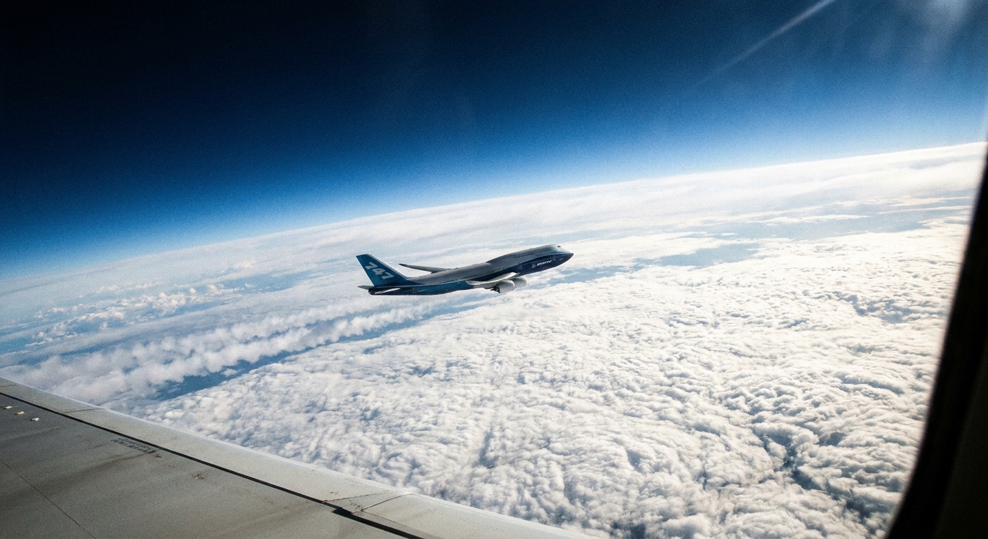
Polar stratospheric clouds (often shortened to PSCs) are high-altitude clouds that form primarily in the polar winter stratosphere, most often from late winter into early spring while the stratosphere is still cold. They typically occur roughly 15 to 30 kilometers (about 9 to 19 miles) above Earth’s surface. That puts them well above the troposphere, the layer where everyday clouds, rain, and most water vapor reside.
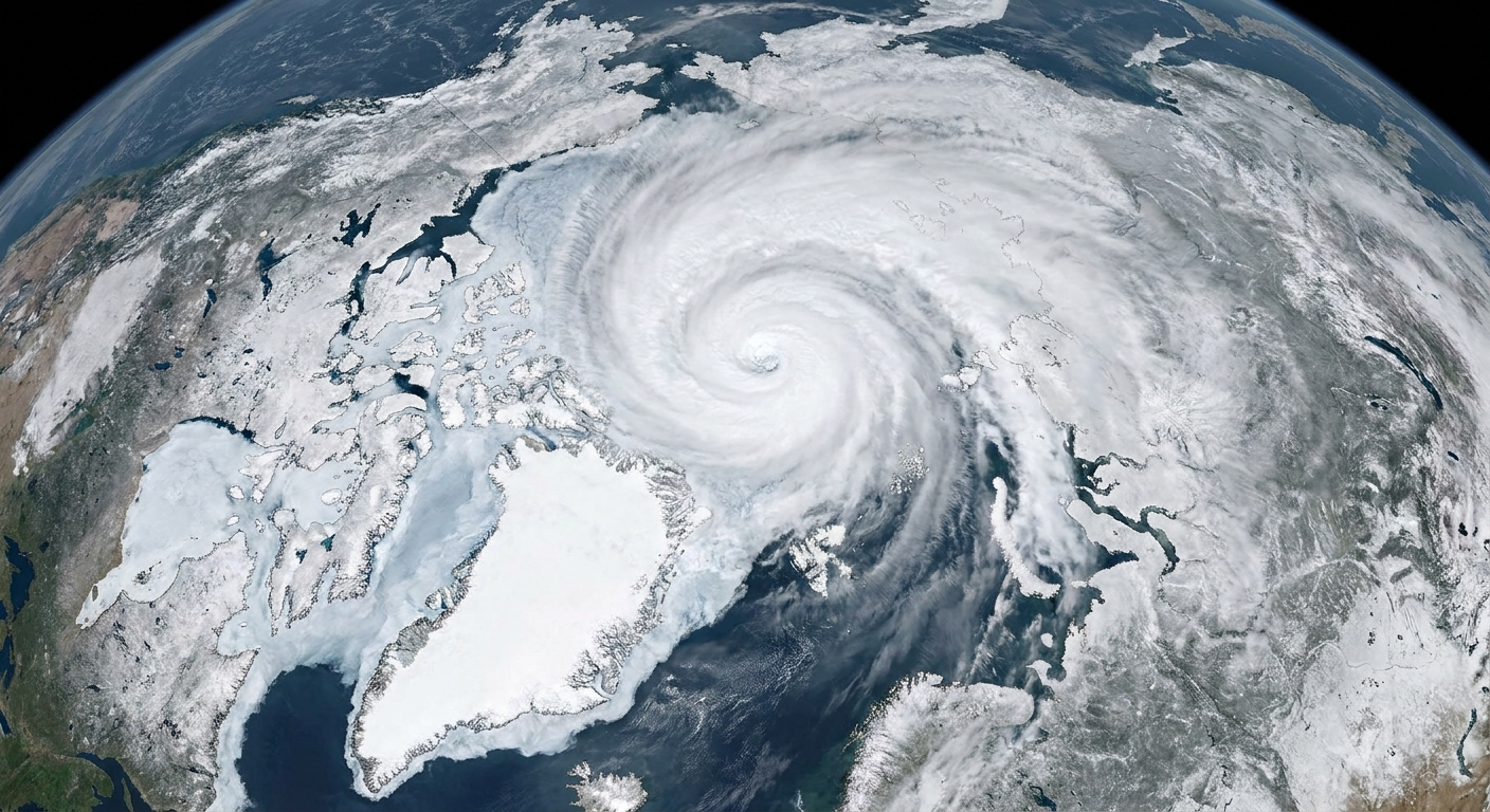
The key word is polar. You need long winter darkness and a strong, cold pool of air overhead. That is why PSCs are strongly tied to the polar vortex, the ring of fast stratospheric winds that helps keep frigid polar air corralled in winter. When that air gets cold enough, PSCs can form inside it.
Where they form
In the troposphere, clouds are basically a water cycle story: evaporation, rising air, cooling, condensation. In the stratosphere, it is a different world. The air is thinner, far drier, and more layered. There is also less vertical mixing, so once particles form they can persist longer than typical weather clouds.
PSCs tend to form over Antarctica more often than the Arctic because the Antarctic stratosphere is usually colder and the polar vortex there is typically more stable. In the Northern Hemisphere, planetary-scale waves more easily disturb the stratosphere, warming it and breaking up the cold conditions PSCs require.
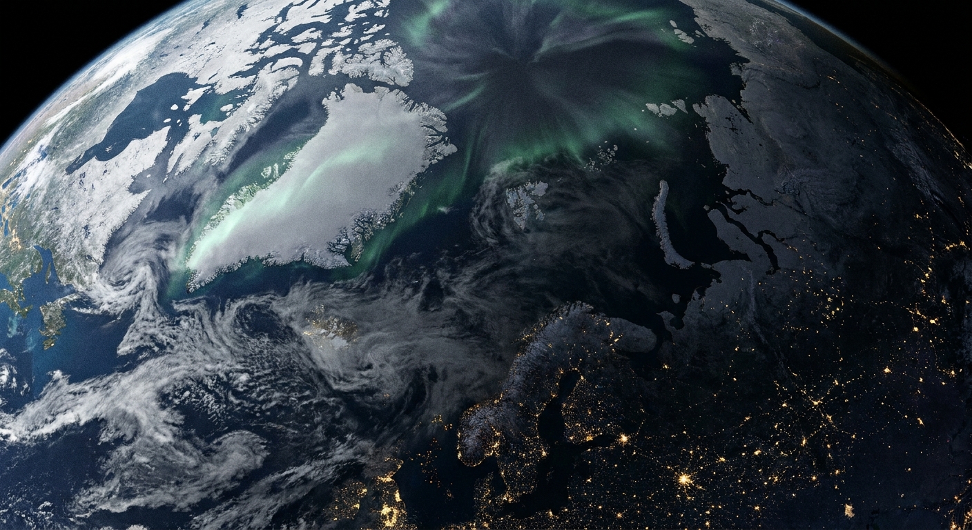
If you are trying to spot them from the ground, reports most commonly come from high latitudes such as northern Norway and Sweden, Iceland, Alaska, northern Canada, and of course Antarctica. Arctic sightings are real, just less reliable year to year.
How cold it has to get
PSCs form only when the stratosphere becomes extremely cold. Two rough temperature milestones matter:
- Around 195 K (−78 °C, −108 °F): cold enough for many Type I PSC particles to form, including nitric acid trihydrate (often called NAT).
- Around 188 K (−85 °C, −121 °F) or colder: cold enough for water ice PSCs (often called Type II) to form. These require the deepest winter chill.
Those numbers are good rules of thumb, not magic switches. The exact thresholds vary with altitude (pressure) and with local amounts of water vapor and nitric acid. Still, the basic point holds: PSCs need the kind of cold most of us never experience, happening high above the surface.
What they are made of
PSCs come in a few forms, but the big idea is simple: they are made of tiny solid or liquid particles formed from trace gases in the stratosphere.
Common PSC types
- Type I (nitric-acid-rich particles): This category includes both NAT (a solid made from nitric acid and water) and STS, short for supercooled ternary solution (a liquid mixture that typically involves sulfuric acid, nitric acid, and water). Type I PSCs form at the “less cold” end of PSC temperatures, which is still brutally cold by everyday standards.
- Type II (water ice particles): These form only when it gets cold enough for actual ice crystals to grow in the stratosphere.
If you are used to thinking of clouds as water droplets, PSCs are a reminder that “cloud” really means a collection of suspended particles. In the stratosphere, the particle recipe changes.
Why they look iridescent
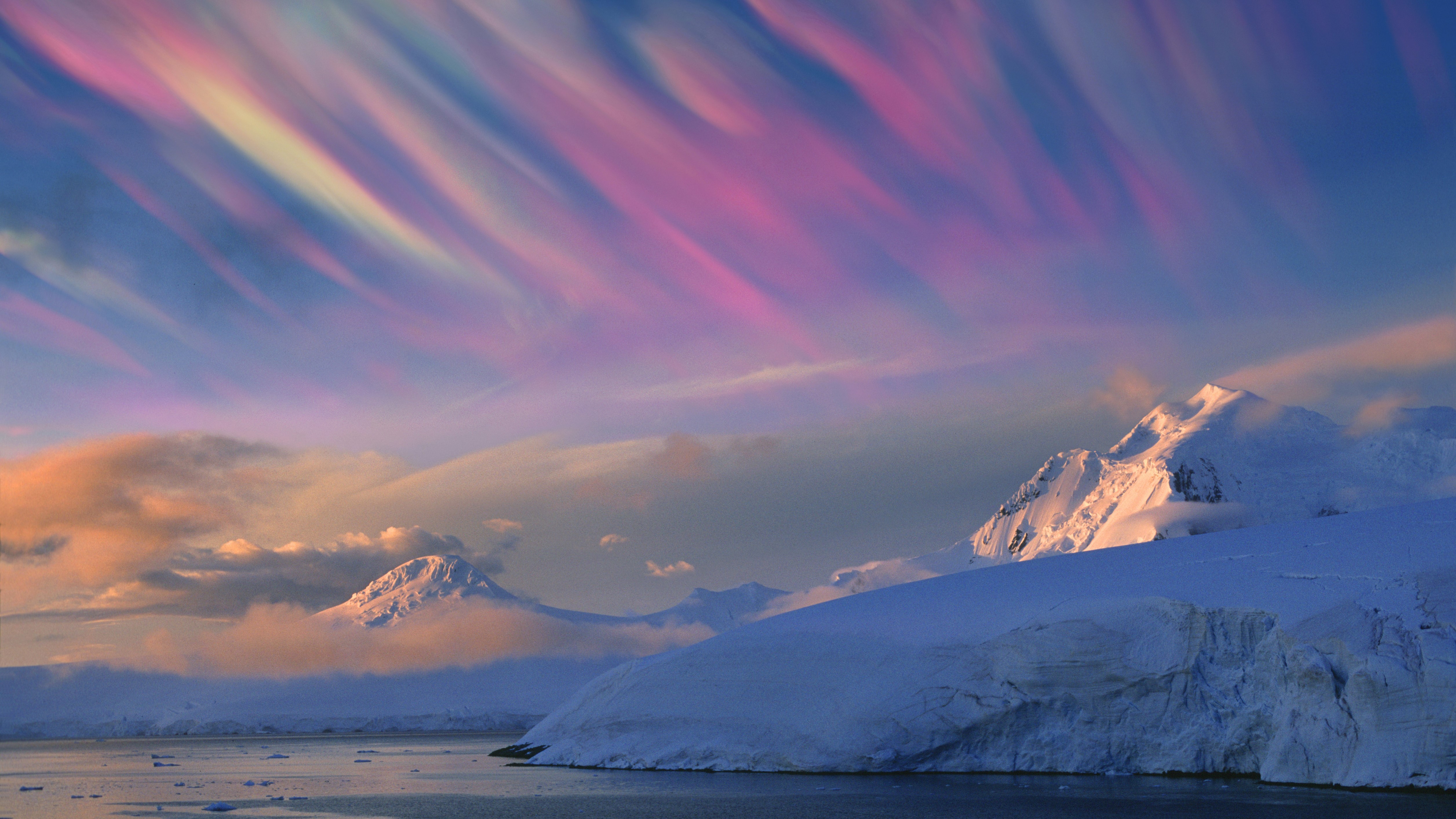
PSCs are also called nacreous clouds from “nacre,” the same word used for mother-of-pearl. Their signature shimmer comes from iridescence, which happens when sunlight interacts with very small, similarly sized particles.
Here is the coffee-table version of the physics: when particle sizes are comparable to the wavelength of visible light, light can be diffracted and can interfere with itself. Different wavelengths reinforce in different directions, so you see separated bands of color. If you taught high school optics, it feels like watching a diffraction grating spread itself across the sky.
They are often most striking near sunrise or sunset. Even when the ground is in twilight, the high stratosphere can still be catching sunlight, lighting the cloud deck from above at just the right angle.
How PSCs form
Think of PSC formation as a three-part checklist:
- Cold enough air: the stratosphere must drop below the relevant threshold for NAT, STS, or ice.
- Something to condense onto: microscopic particles and existing aerosols can act as “seeds” for growth.
- Time inside the cold pool: the polar vortex helps keep air trapped in a deep freeze long enough for particles to form and persist.
On top of that, atmospheric waves can add local boosts. When air flows over mountain ranges, it can set up gravity waves that ripple upward. In the stratosphere those waves can create pockets of extra cooling, producing PSCs in dramatic, ribbon-like structures.
Why their surfaces matter
PSCs are not just pretty. Their particles provide surfaces where important chemical reactions can happen more efficiently than they do in the gas phase alone.
In the winter polar stratosphere, much of the chlorine can be tied up in relatively “reservoir” forms such as hydrogen chloride (HCl) and chlorine nitrate (ClONO2). On PSC particle surfaces, heterogeneous reactions can convert these into more reactive, sunlight-sensitive forms such as Cl2 and HOCl, which can then be split apart when sunlight returns.
Some PSC processes also reduce available nitrogen compounds in the stratosphere (often discussed as denitrification), which can prolong how long chlorine stays in its ozone-destroying “active” forms. Not every PSC event does this in the same way, but it is part of why PSCs show up in serious ozone conversations.
Their link to the ozone hole
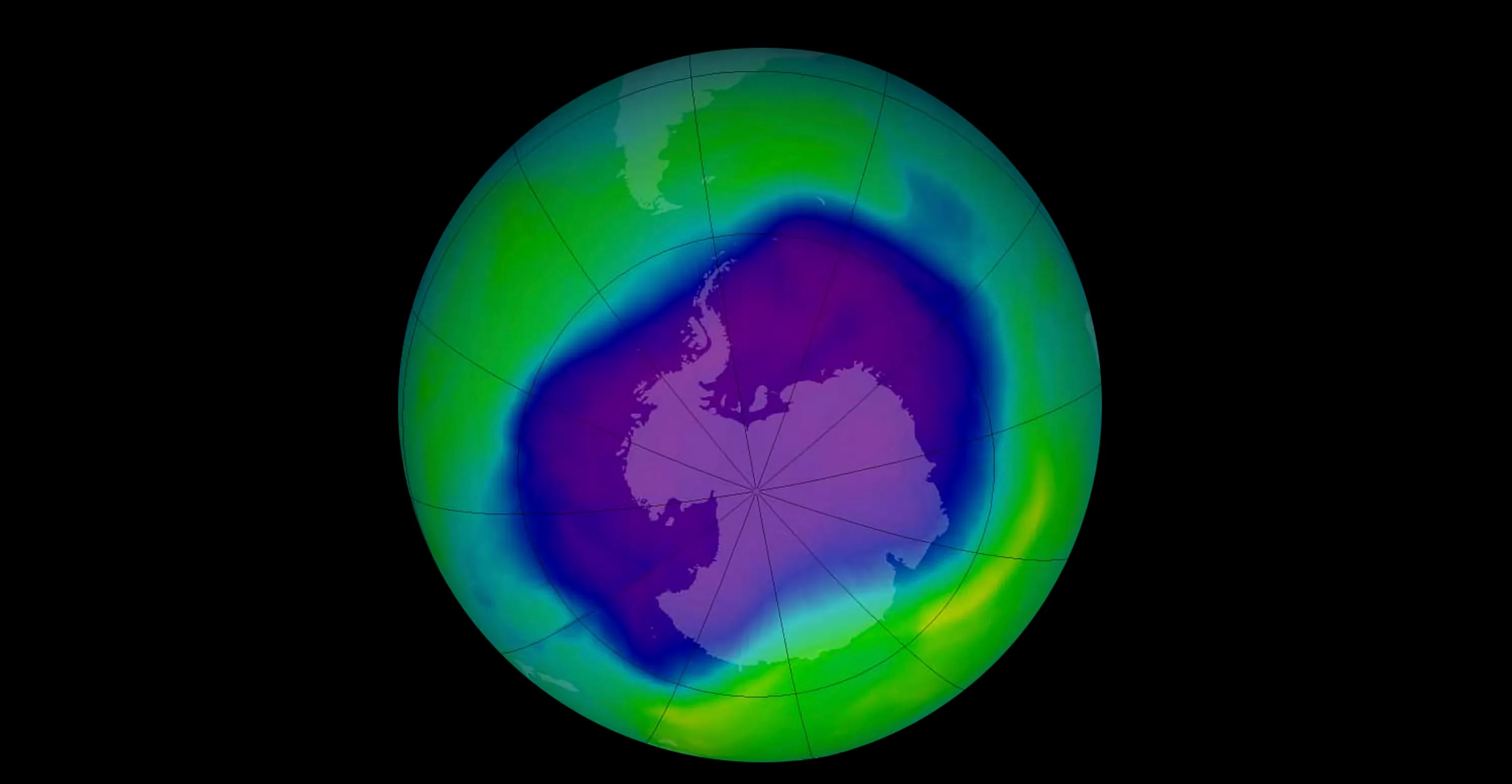
Because PSCs help shift chlorine into more reactive forms during the dark winter, the return of sunlight in polar spring can trigger rapid ozone loss, especially over Antarctica where PSCs are frequent and persistent. This chemistry is one reason the Antarctic ozone hole is a seasonal phenomenon that ramps up in spring after a long, cold, isolated winter stratosphere.
It is also worth zooming out for one sentence of modern context: thanks to the Montreal Protocol and the phaseout of many ozone-depleting substances, the long-term trend is toward recovery, even though PSC-driven springtime depletion still matters year to year.
Can you see them?
Sometimes, yes. They are most often reported from high-latitude locations in the Northern Hemisphere when the sun is low, and from Antarctica during its long winter season. Observers often describe them as:
- Pearly or metallic
- Unnaturally bright compared with lower clouds
- Slow moving and smooth, because they are high above most weather
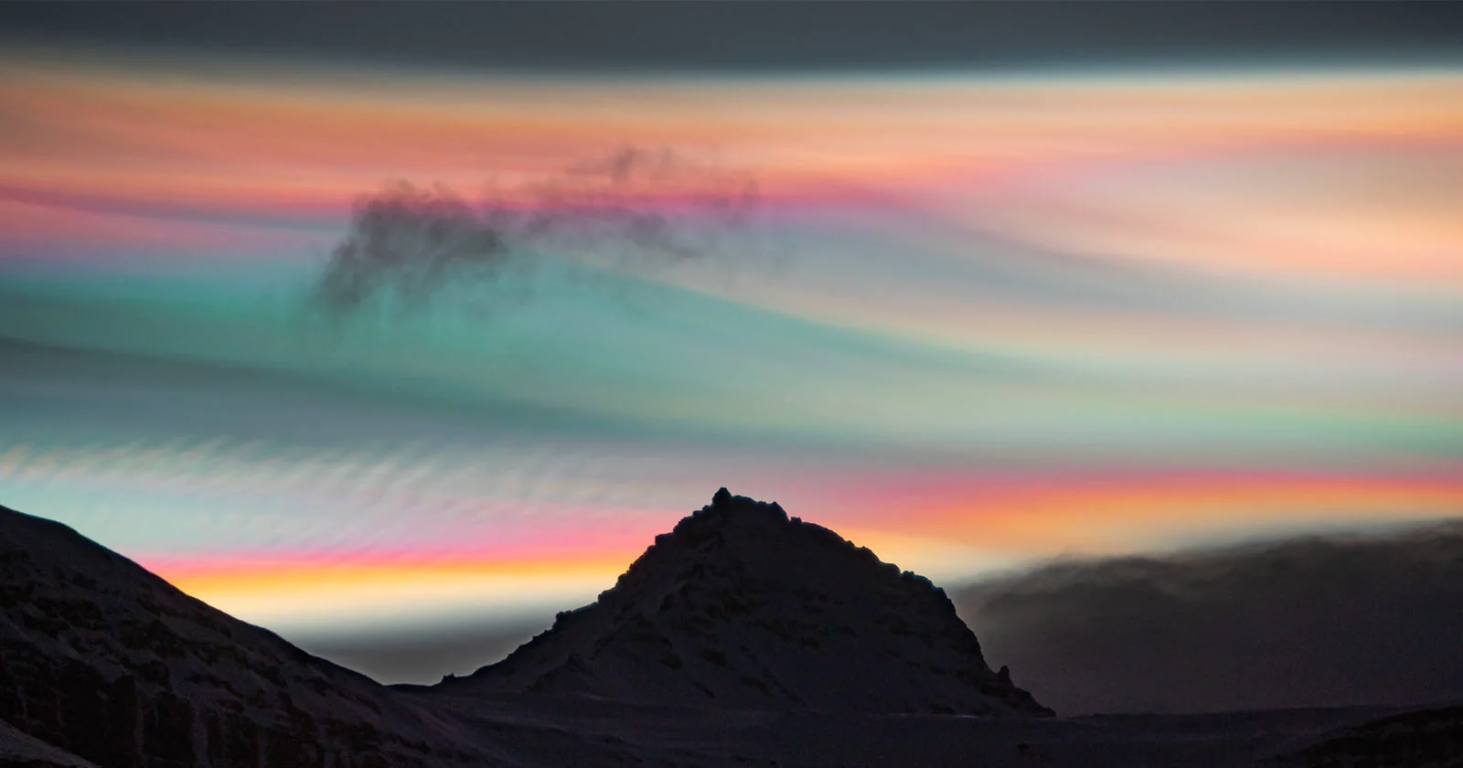
- Painted with pastel colors near twilight
You do not need special equipment. The best odds are when the sun is just below the horizon, so the ground is dim but the stratosphere is still sunlit. One safety note that should be obvious but is easy to forget in the excitement: do not stare at the sun while scanning for them.
PSCs vs normal clouds
- Altitude: PSCs form in the stratosphere (about 15 to 30 km up). Most familiar clouds form in the troposphere (generally below about 12 to 15 km, often much lower).
- Season and location: PSCs are tied to polar winter and early spring conditions. Ordinary clouds can form anywhere, any season, given moisture and rising air.
- Composition: PSCs can involve nitric acid, sulfuric acid, and water in liquid or solid particles, or water ice under extreme cold. Tropospheric clouds are mostly liquid water droplets or ice crystals from water vapor.
- Why they matter: PSCs have outsized importance because their particle surfaces influence key stratospheric chemistry.
Quick questions
Are polar stratospheric clouds the same as noctilucent clouds?
No. Noctilucent clouds form much higher up in the mesosphere (around 80 km). PSCs form in the stratosphere. Both can glow at twilight, but they live in very different layers of the atmosphere.
Do PSCs mean it is going to snow or get colder where I live?
Not directly. PSCs are stratospheric, so they are not weather clouds. They can coincide with larger cold patterns at the surface in some situations, but seeing PSCs overhead is not a reliable local storm predictor.
Why are PSCs more common in Antarctica than the Arctic?
Antarctica’s winter stratosphere is typically colder and more stably isolated by the polar vortex, so it spends more time below the temperature thresholds PSCs need. The Arctic stratosphere is more easily warmed and disrupted by planetary-scale waves, so good PSC conditions come and go.