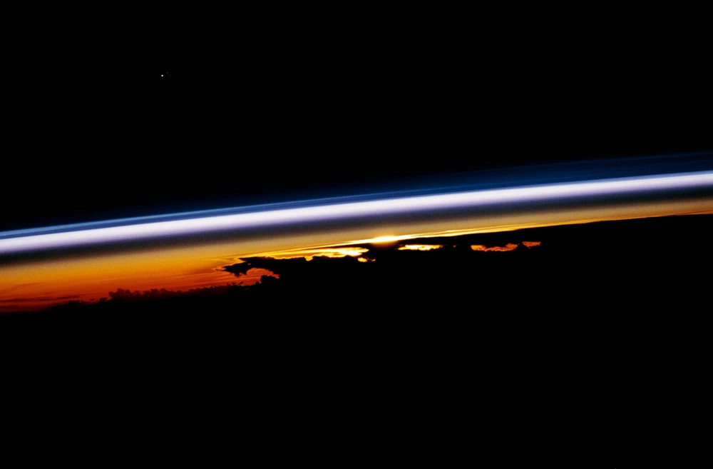
On most hikes with my golden retriever, Quark, the air changes in ways you can feel: warmer valleys, cooler ridgelines, that crisp bite as you climb. But if you could keep going straight up, the atmosphere eventually flips its script. The layer where temperature usually drops with altitude gives way to a layer where temperature generally rises with altitude. That swap is the cleanest, most useful way to tell the troposphere from the stratosphere.
Let’s walk through what makes each layer distinct, focusing on three reader-friendly landmarks: temperature with height, where weather clouds stop, and where the ozone layer and the polar wind belt live.
The quick difference
- Troposphere: the lowest layer, where nearly all day-to-day weather happens. Temperature decreases with height on average.
- Stratosphere: above the troposphere, much drier and more layered. Temperature generally increases with height because ozone absorbs sunlight.
The boundary between them is the tropopause, a transition zone that is often near the coldest part of the vertical temperature profile and tends to cap most clouds and storm tops.
A simple height sketch
Heights vary with latitude and season, but this gets you oriented. (The tropopause is typically higher in the tropics and lower near the poles.)
Altitude
 50 km |                 Stratosphere
       |     temp ↑ with height (overall)
 30 km |     ozone layer region (15–35 km)
       |     ozone peak often ~20–30 km
 15 km |     polar vortex spans ~15–50 km
       |     (lower–mid stratosphere)
  8–18 |----------------- Tropopause -----------------
 10 km |                 Troposphere
       |     temp ↓ with height (overall)
  0 km |  Earth surface (clouds, storms, most water vapor)
Troposphere: the weather layer
Temperature trend: cooler as you go up
In the troposphere, temperature usually falls with altitude. The reason is simple: land and ocean surfaces absorb sunlight, warm up, and then warm the air from below. As air rises, it expands in the lower pressure aloft, and expanding air cools. On average, that cooling works out to about 6.5°C per kilometer, though it varies a lot by place and day.
One important nuance: you can still get local inversions near the surface (cold air trapped in a valley, for example) without changing which layer you are in. The layer names are about the broader, typical temperature structure.
Where the clouds are
Most clouds you recognize, from fluffy fair-weather cumulus to towering thunderstorms, are tropospheric. The troposphere holds the vast majority of the atmosphere’s water vapor, and water vapor is the raw material for clouds and precipitation.
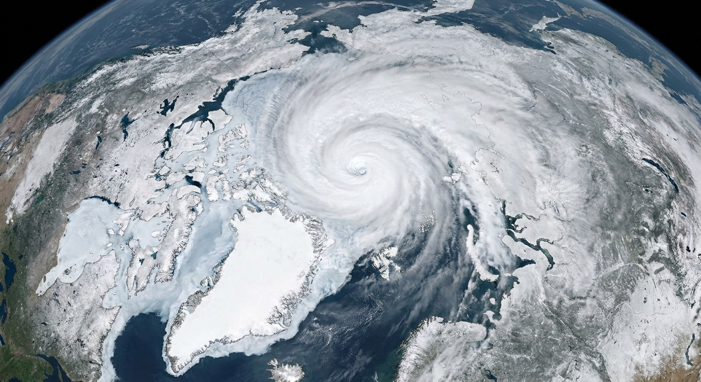
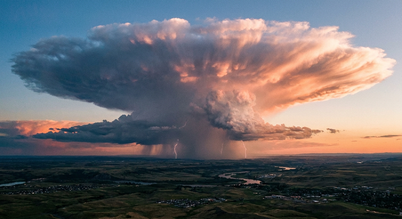
Some storm tops can punch right up to the tropopause and spread out into a classic anvil shape. But for the most part, the tropopause acts like a lid because the air above it is more statically stable. Rising air from below stops being buoyant once it hits that stable layer, so the upward surge weakens and clouds flatten out.
Typical height: up to the tropopause
The troposphere is thickest over the tropics and thinner toward the poles. As a mental anchor, think roughly 8 to 18 km to the tropopause (often about 7–10 km near the poles and 16–18 km in the tropics), shifting with season and weather patterns.
Stratosphere: ozone and polar winds
Temperature trend: warmer as you go up
The stratosphere is the atmosphere’s big plot twist. Here, temperature tends to increase with altitude. That happens mainly because ozone absorbs energetic ultraviolet sunlight and converts some of that energy into heat, warming the surrounding air.
This creates a stable arrangement: warmer air sitting above cooler air resists vertical mixing. So instead of the troposphere’s constant churning, the stratosphere is comparatively stratified, which is exactly what its name hints at.
Where the ozone layer sits
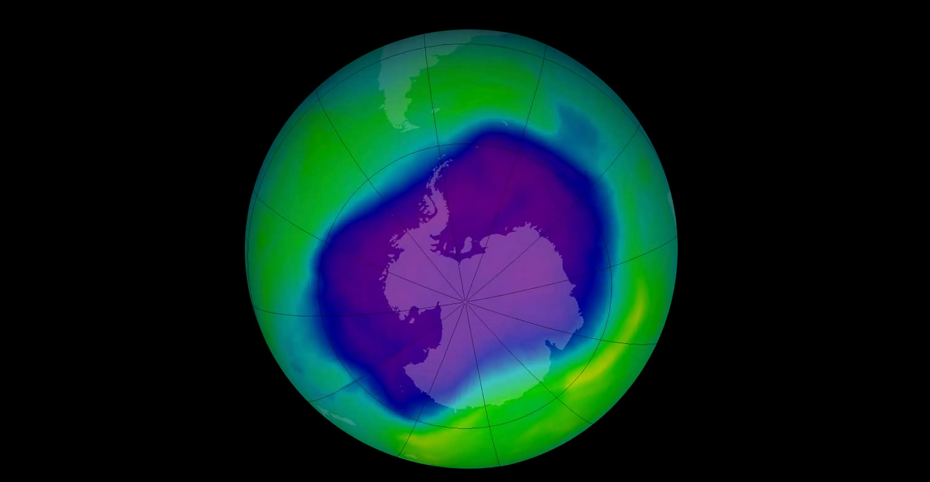
The phrase “ozone layer” does not mean a razor-thin film. It is a region of enhanced ozone concentration within the stratosphere, broadly in the 15 to 35 km range, with peak values often around 20 to 30 km (varying by latitude and season). There is also ozone in the troposphere, but the term “ozone layer” refers to this stratospheric maximum that absorbs much of the Sun’s harmful UV radiation.
Where the polar wind belt and polar vortex live
When people talk about the polar vortex, they are usually referring to a strong ring of westerly winds that circles the pole in the stratosphere, strongest during winter. In everyday terms, it is like a spinning moat of fast-moving air that helps keep very cold air corralled over the polar region.
The vortex is not a single altitude slice. It spans a big vertical chunk of the stratosphere (roughly 15 to 50 km), and its shape and strength change with height.
Those stratospheric winds are not “the weather” in the day-to-day sense, but they can influence weather patterns below, especially when the vortex is disturbed and the stratosphere and troposphere start interacting more strongly. And every so often, stratospheric air can intrude downward, affecting what we experience at the surface.
Where clouds usually stop
If you want one practical takeaway, it is this: the troposphere is where weather lives, and the tropopause is the usual ceiling.
- Most clouds: stay in the troposphere.
- Tallest thunderstorms: can reach the tropopause and sometimes briefly overshoot into the lowest stratosphere, but they usually cannot keep building upward for long.
- Stratospheric clouds: rare, and mostly a polar phenomenon. Under extremely cold stratospheric conditions, special clouds called polar stratospheric clouds can form. They are not your everyday rain clouds, and they are linked to polar ozone chemistry.
Troposphere vs. stratosphere
- Temperature with height: Troposphere generally cools upward; stratosphere generally warms upward.
- Mixing: Troposphere is turbulent and mixes vertically; stratosphere is more layered and stable.
- Water vapor: Troposphere holds most of it; stratosphere is much drier.
- Clouds and storms: Mostly troposphere; stratosphere has few clouds, with rare polar stratospheric clouds in very cold conditions.
- Ozone layer: Stratosphere (even though some ozone exists in the troposphere).
- Polar wind belt (polar vortex): Stratosphere, especially the lower to mid stratosphere in winter.
FAQ
Is the stratosphere always warmer than the troposphere?
Not at the bottom. The lowest stratosphere can be very cold, often colder than the air near the ground. The key difference is the direction of the temperature change: in the stratosphere, it tends to get warmer as you go up, while in the troposphere it tends to get cooler as you go up.
Why does the tropopause act like a lid?
Because the atmosphere becomes more stable there. Once rising air from the troposphere reaches the stable air above the tropopause, it loses buoyancy and has a harder time continuing upward, so cloud towers tend to spread out instead of building higher.
Do planes fly in the troposphere or stratosphere?
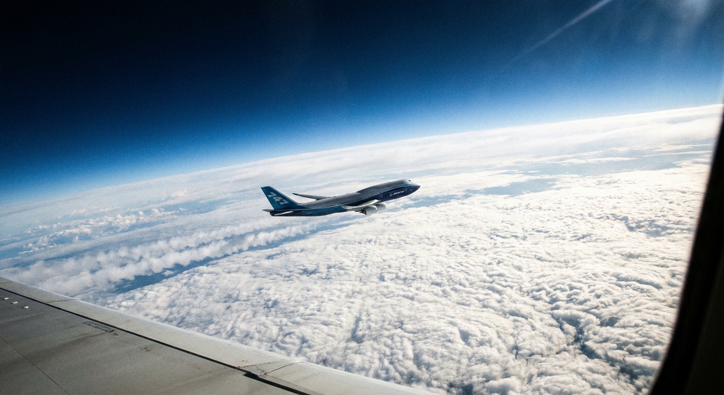
Many commercial jets cruise near the upper troposphere and sometimes near the tropopause, where air is thinner and much of the weather is below them. Typical cruising altitudes are around 9 to 12 km, with some long-haul flights closer to 11 to 13 km. Because the tropopause can be low at high latitudes in winter, some routes can briefly cruise in the lower stratosphere.
Is this the same topic as greenhouse warming?
Related, but not the same. This article focuses on how the layers differ by temperature pattern, cloud location, ozone, and polar winds. Greenhouse-gas warming involves how certain gases absorb and emit infrared radiation, and it deserves its own focused explanation.