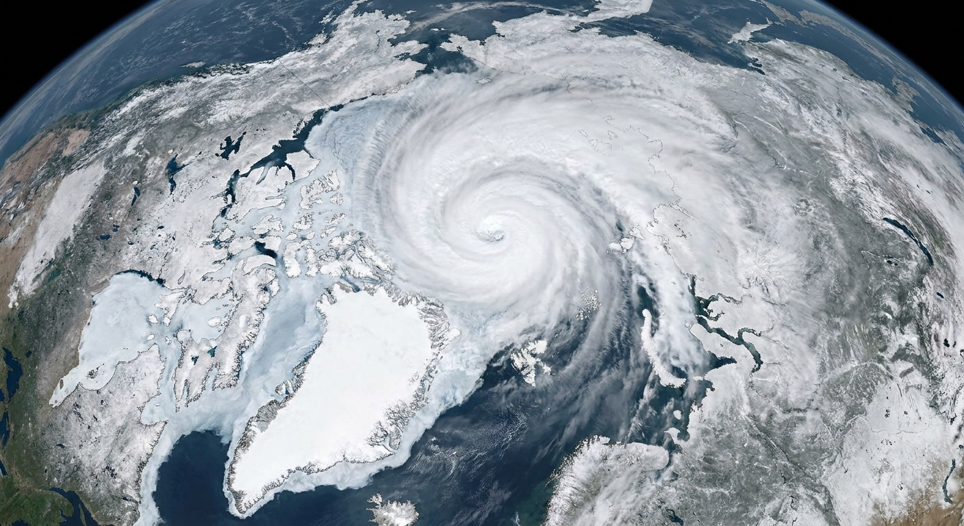
Some storms announce themselves with trumpet blasts. A polar low shows up like a prickly question mark on the satellite loop: small, sharp-edged, and suddenly there.
A polar low is a small, intense cyclone that forms over ice-free seas at high latitudes, most often in the cold season. It is the kind of storm that can appear quickly, wrap itself into a tight spiral, and deliver squally winds and heavy snow showers to ships, coastal communities, and islands that sit near cold oceans.
It is also easy to mix up with bigger, more famous weather players. A polar low is a mesoscale storm, meaning it is much smaller than the sprawling low-pressure systems that sweep across continents.
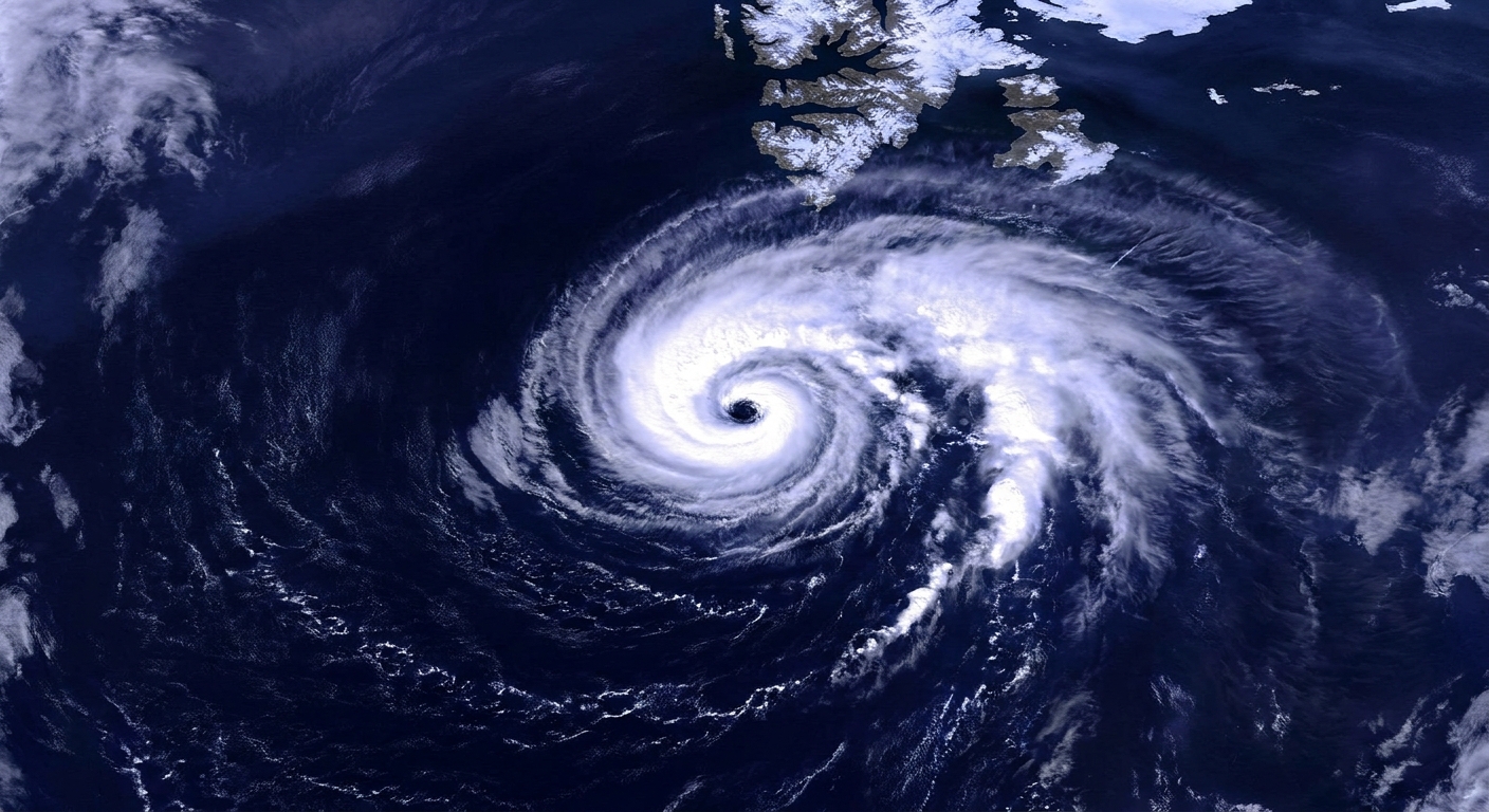
Polar low, defined
Meteorologists use the term polar low for a compact, short-lived surface cyclone that develops over high-latitude oceans in the cold season, typically near the sea-ice edge or over open water surrounded by very cold air.
While there is no single universal cut-off, polar lows are commonly described by a few shared traits:
- Small size: often a few hundred kilometers across (many are roughly 200 to 1,000 km in diameter), not a thousand-kilometer giant.
- Short lifespan: frequently on the order of about 12 to 48 hours, though some are shorter or longer.
- High-latitude setting: most often in places like the Norwegian Sea, Barents Sea, Labrador Sea, Bering Sea, and seas around Antarctica.
- Convective energy source: fueled by heat and moisture transferred from relatively warmer ocean water into much colder air above.
- Hazardous weather: strong winds, rough seas, and bursts of heavy snow that can behave like snow squalls.
How a polar low forms
A polar low is, in a sense, a storm born from an extreme temperature contrast that happens close to the ocean surface.
Step 1: Cold air pours off ice and land
In winter, large pools of frigid air can build over ice sheets, sea ice, or snow-covered continents. When winds steer that air out over an open ocean, the atmosphere suddenly finds itself sitting above water that is comparatively warm.
Step 2: The ocean “feeds” the air
As cold air flows over warmer water, the ocean transfers:
- Sensible heat (direct warming of the air), and
- Latent heat (energy carried by water vapor after evaporation, later released when that vapor condenses into cloud droplets or ice).
This rapid heat and moisture supply destabilizes the lower atmosphere. Warm, moist air rises in plumes, clouds deepen, and precipitation processes switch on fast.
Step 3: Spin tightens into a compact cyclone
Rising air lowers surface pressure, and air begins to converge toward the developing low. Earth’s rotation then helps organize that inflow into rotation. With the right background winds and temperature structure, the storm tightens into a small cyclone with a distinct center.
Some polar lows develop features that look surprisingly “tropical” on satellite imagery, such as a compact cloud swirl and, occasionally, a small clear or partly clear center. Even then, they are not truly tropical cyclones. They form in cold air masses and may interact with fronts, upper-level troughs, or strong low-level temperature gradients. Others are more purely convective, driven mainly by the ocean-to-air heat and moisture fluxes beneath them.
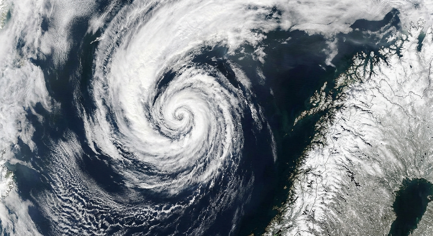
What weather can a polar low bring?
Because they are small and can intensify quickly, polar lows have a reputation for delivering outsized impacts for their size, especially over water.
Strong winds and rough seas
Polar lows can produce gale-force winds and rapid wind shifts. Over open ocean, that means steep waves, dangerous icing on vessels, and rapidly changing conditions that are difficult to route around.
Intense snow showers
The precipitation in and around a polar low is often showery, meaning it falls in bursts rather than as steady, widespread snow. In cold environments those bursts can be heavy snow, graupel, or a mix, with sudden whiteout conditions under the strongest bands.
Coastal impacts
If the storm moves onshore, the combination of wind and convective snow can create near-blizzard conditions over short distances. One town may see squalls and blowing snow while another, not far away, sees only scattered showers, simply because the storm’s core and bands are narrow.
Where and when do polar lows happen?
Polar lows favor places where three ingredients line up:
- Cold air availability over ice and snow-covered regions.
- Open water nearby to supply heat and moisture.
- A supportive weather pattern that encourages rising motion and organization.
That is why they often form:
- near the sea-ice edge, where open water and ice sit close together,
- downwind of cold land or ice sheets, and
- in the cold season, from late autumn through early spring, when cold-air outbreaks are common.
In the North Atlantic sector, polar lows are frequently discussed in connection with the Norwegian and Barents Seas. In the North Pacific, they can occur over the Bering Sea and nearby waters. Similar storms also occur in the Southern Ocean around Antarctica.
If you read older papers or certain forecast discussions, you may also see nearby labels like polar mesocyclone or Arctic mesoscale cyclone. The boundaries between terms can be fuzzy, but the family resemblance is the same: small maritime cyclones in cold-air outbreak environments.
How big is a polar low compared with other storms?
Scale is the heart of the story. A polar low is typically a few hundred kilometers across, while a classic mid-latitude cyclone can span a thousand kilometers or more.
That smaller size matters because it affects:
- Forecasting: small storms can slip between observation points and spin up within a few hours.
- Impacts: hazards are concentrated in narrow swaths, which makes “who gets hit” a sharper question.
- Lifetime: polar lows often flare up and fade quickly as they move away from their heat source or into a less supportive environment.
Polar low vs. polar vortex
The stratospheric polar vortex is a broad, high-altitude ring of winds that circles the pole in winter. It lives far above the weather we experience at the surface.
A polar low, by contrast, is a surface-based cyclone that forms over open water and draws much of its strength from ocean heat and moisture in the lowest part of the atmosphere.
They can be related only in the loosest way. Patterns that help move cold air masses around can set the stage for cold-air outbreaks over the ocean, but the polar vortex itself is not the polar low.
Polar low vs. nor'easter
A nor'easter is a large mid-latitude coastal storm, most famously affecting the U.S. East Coast, powered by strong temperature contrasts and large-scale atmospheric waves. It can last for days and cover a vast area.
A polar low is generally smaller, more short-lived, and more tied to cold air streaming over comparatively warm high-latitude seas. Both are cyclones. They simply live on different stages and run on somewhat different fuel mixes.
Why polar lows can be hard to forecast
Polar lows are notorious for “spinning up” quickly. A few reasons they challenge forecasters:
- Sparse observations: high-latitude oceans have fewer weather stations, buoys, and aircraft reports than busy continental regions.
- Small footprint: a compact storm can be missed or under-resolved if a weather model’s grid is too coarse.
- Rapid intensification: once surface heat and moisture fluxes kick in under a cold-air outbreak, convection can deepen fast.
- Complex structure: some polar lows behave more like frontal mini-cyclones, while others take on more symmetric, convective cores.
Satellite imagery, radar near coasts, and high-resolution regional models have improved detection and prediction. Still, the short-fuse nature of these storms remains part of their personality.
Signs you might be seeing one
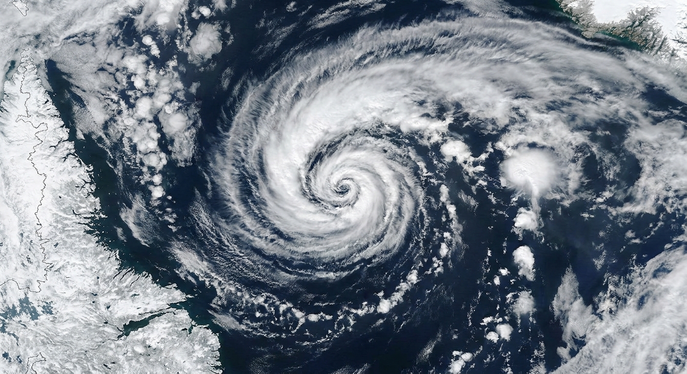
If you spot a tight spiral cloud signature over a dark, ice-free patch of ocean at high latitude during the cold season, you may be seeing a polar low or a close cousin. Common cues include:
- Compact swirl on satellite images, sometimes with curved bands.
- Cold-air outbreak cloud streets (rows of cumulus clouds) feeding into a developing center.
- Localized bursts of snow and strong winds, especially near coasts and islands.
One important caveat: not every small swirl is a polar low. High latitudes are full of vigorous cloud patterns. Classification depends on structure, intensity, and how the cyclone is being maintained.
FAQ
Are polar lows hurricanes?
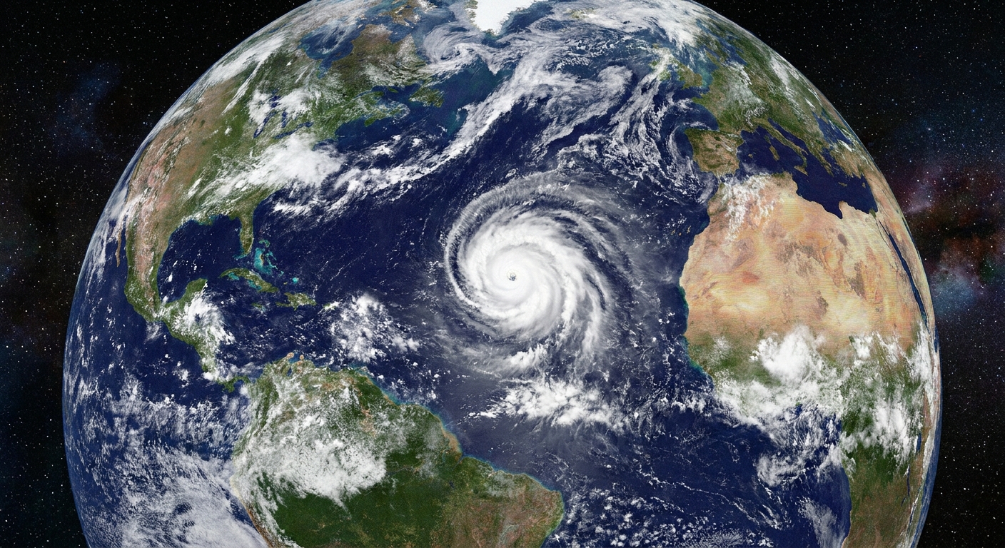
No. They can look hurricane-like in miniature on satellite images, but they form in cold environments and are not tropical cyclones. Their energy comes from cold air passing over warmer water, often mixed with other mid-latitude dynamics.
Do polar lows only happen in the Arctic?
They are common in northern high latitudes, but similar small cyclones also occur in the Southern Hemisphere over the Southern Ocean around Antarctica.
Can polar lows cause blizzards?
They can produce blizzard-like conditions locally, especially near coasts, with strong winds and intense snow showers. Because the storms are small, the worst conditions may be confined to a relatively narrow corridor.
Are polar lows getting more common?
Scientists continue to study how changing sea ice, ocean temperatures, and large-scale circulation patterns may affect polar low frequency and characteristics. Because polar lows are small and observations are uneven across time and space, long-term trends are challenging to pin down with confidence.
What should I do if one is possible near me?
If you live on an exposed coast or work on the water, treat polar low setups like short-notice hazards. Monitor marine forecasts and local warnings, and keep an eye on satellite and radar updates because conditions can deteriorate quickly and in a very narrow area.
The takeaway
A polar low is a compact, short-lived cyclone that forms when very cold air surges over relatively warmer, ice-free high-latitude seas. The ocean supplies heat and moisture, convection builds, rotation tightens, and the result can be a small storm capable of strong winds and sudden, heavy snow.
If the polar vortex is the high-altitude winter ring around the pole, and a nor'easter is a sprawling mid-latitude coastal powerhouse, the polar low is the quick, sharp-edged whirlwind closer to the sea surface, small enough to be overlooked and fierce enough to demand respect.