Curiosity, with all its quills showing.
A katabatic wind is one of the atmosphere’s simplest tricks, and one of its punchiest. Chilled air becomes denser, hugs the ground, and then does what dense things do on a slope: it slides downhill under gravity. If you have ever felt a sudden, cold rush spilling out of a mountain valley at night, you have brushed up against the same basic physics that can drive the famous gales of Antarctica.
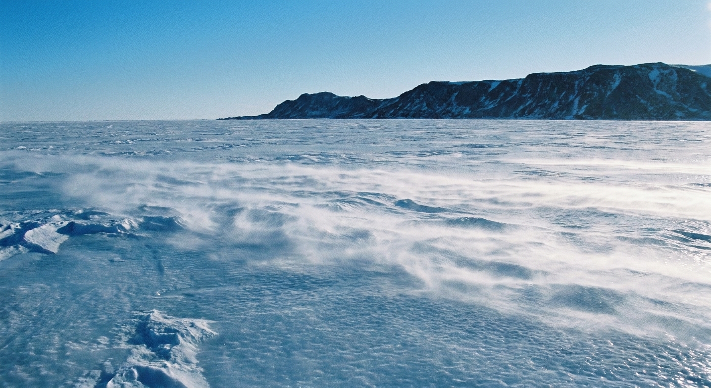
Katabatic wind, in plain terms
Katabatic wind means a downslope wind made of cold, dense air that accelerates downhill primarily because of gravity. The air is cooled at the surface, so the wind is a near-ground flow, not an upper-atmosphere current.
The name comes from Greek, often traced to katabasis and related forms meaning “a going down” or “downward.” In meteorology, it is paired with anabatic winds, which are upslope flows often favored by daytime heating. Katabatic winds are the downhill counterpart, strongly associated with surface cooling.
How katabatic winds form
Picture a sloped surface like a mountain, an ice sheet, or a high plateau that tilts down toward the coast. Now add a strong cooling source at the ground. Snow and ice are excellent at chilling the air touching them, and clear skies help the surface lose heat rapidly to space.
Step by step
- The ground cools the air: Over snow, ice, or a radiatively cooling land surface, the lowest layer of air loses heat and becomes colder.
- Cold air becomes denser: Colder air, at the same pressure, is denser than warmer air. That density increase matters because it makes the air heavier and less buoyant than the air around it.
- Dense air starts to drain: On a slope, the dense air begins to move downslope as a shallow current, often called a drainage flow.
- It accelerates and organizes: The flow can speed up as it descends, guided by the terrain. Valleys can funnel it, and broad ice slopes can sustain it for long distances. In some settings the fastest winds concentrate a little above the surface as a low-level jet, with friction slowing the air right at the ground.
- Turbulence and gusts mix the edges: The core stays cold and dense, while the upper edge interacts with air above, producing gustiness and blowing snow or dust if available.
Two ingredients make katabatic winds especially likely: strong surface cooling and topography that provides a downhill path. When both are present, gravity does the rest.
Where katabatic winds are famous
Antarctica
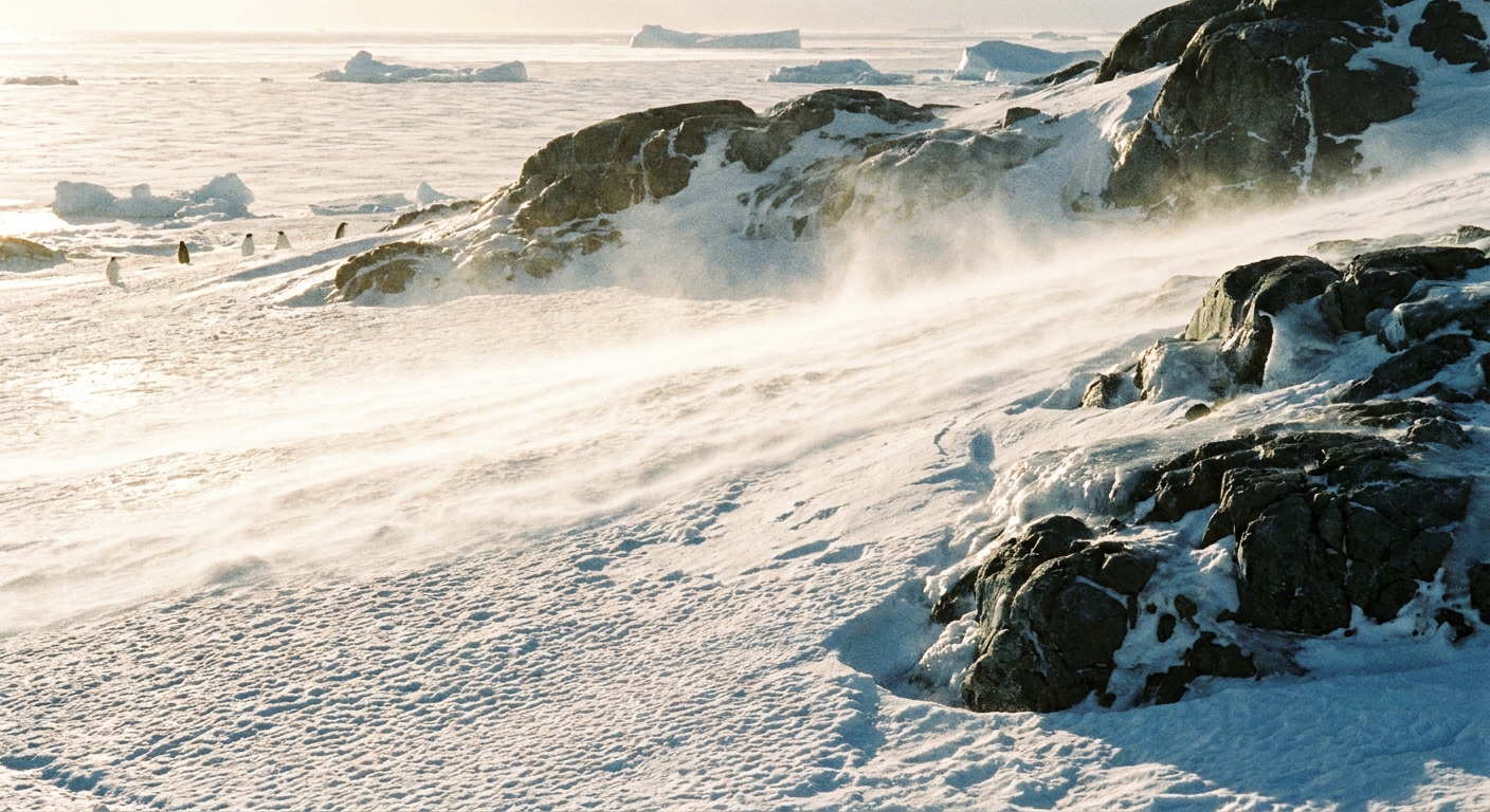
Antarctica is a katabatic wind factory. Its interior is an elevated ice sheet that slopes down toward the coast. The surface is extremely cold, which creates very dense near-surface air. That air drains downslope and can accelerate into powerful, persistent winds, especially where the terrain funnels the flow toward coastal outlets. One of the best-known hotspots is Adélie Land, long notorious for frequent, punishing winds.
These winds can be strong enough to:
- drive blowing snow and ground-hugging snow streams
- create dangerous wind chill conditions
- help maintain clearer conditions locally by reinforcing stable, dry air near the surface, though coastal weather and sea-ice patterns can complicate the picture
Greenland
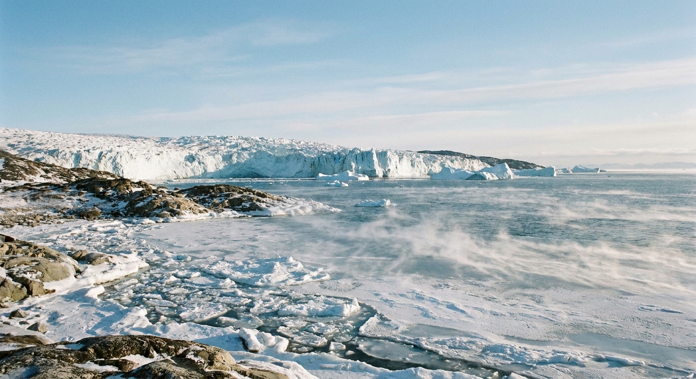
Greenland’s ice sheet can also generate katabatic winds, with cold, dense air sliding from higher interior regions toward lower elevations and coastal areas. These flows can show up as sharp, chilly winds along fjords and coastal plains, sometimes intensifying when terrain channels the air into narrower corridors.
What they feel like
Katabatic winds have a personality. Not a mystical one, just a consistent set of surface clues tied to their physics.
- They are cold: The air originated close to a chilled surface, so the wind arriving downslope is typically colder than surrounding air at the same elevation.
- They hug the ground: Katabatic flows are usually shallow, often strongest close to the surface where the densest air is, or just above it where friction eases.
- They can be gusty: The boundary between the dense downslope flow and the air above can be turbulent, which shows up as irregular gusts.
- They often pair with clear skies: Clear conditions encourage surface cooling, and stable cold air near the ground tends to suppress vertical mixing that would otherwise build low cloud. This is common, not guaranteed.
In polar regions, the combination of strong winds and low temperatures can rapidly become hazardous. Even when skies look friendly, katabatic wind can turn “bright and crisp” into “painfully cold” in minutes.
Katabatic vs warm downslope winds
Quick note: Katabatic winds are cold-air drainage winds driven mainly by dense air sliding downhill under gravity, often aided by nighttime radiative cooling or persistent cold surfaces.
Warm downslope winds such as a chinook (a foehn-type wind) are a different process. They are typically tied to synoptic, cross-mountain flow that forces air over a barrier. After losing moisture on the windward side, the air warms as it descends on the lee side, largely through compression. The shared “downslope” direction can be misleading. The temperature story and the mechanics are not the same.
Do they only happen near the poles?
No. Polar ice sheets produce headline-worthy versions, but the underlying mechanism is common.
You can get smaller-scale katabatic flows anywhere you have:
- a slope or valley system
- strong nighttime cooling under clear skies
- relatively calm background winds that do not overwhelm the drainage flow
That is why mountain valleys often experience nighttime cold-air drainage, with chilly air pooling in low spots and sliding down-valley. The polar version is the same idea with more cold, more ice, and bigger terrain.
Why they can get so strong
Strength comes from persistence plus geometry. If the surface keeps producing dense air and the slope provides a long downhill runway, the flow can accelerate and maintain itself.
Several factors can amplify katabatic winds:
- Very cold surfaces (snow and ice are especially effective)
- Broad, continuous slopes that let the air drain for many kilometers
- Terrain funneling through gaps, glacier valleys, or coastal outlets
- Stable stratification, which keeps the cold air pooled near the ground instead of mixing upward
One more subtlety: once a downslope flow forms, it can reinforce the cold surface layer by continually replacing slightly warmer air with freshly chilled air from upslope. The system keeps feeding itself as long as the cooling and slope are there to support it.
Impacts are not just theoretical. In steep terrain, katabatic surges can kick up blowing snow, cut visibility fast, and create turbulence and wind shear that matter for aviation near mountain airports and polar runways.
Katabatic wind FAQs
Is it the same as the polar vortex?
No. The polar vortex is a large-scale circulation pattern high in the atmosphere, especially in the stratosphere. A katabatic wind is a near-surface flow of cold, dense air draining downhill along terrain.
Does “katabatic” always mean dangerous?
Not always, but it can be. Many katabatic flows are gentle, especially in smaller valleys. In polar environments, where the air is extremely cold and the terrain and ice sheet scale are vast, katabatic winds can become powerful and hazardous.
Can katabatic winds happen during the day?
Yes, particularly over ice sheets and very cold surfaces where the ground remains cold enough to keep making dense air. Over land in many mid-latitude mountain regions, katabatic drainage is often strongest at night because nighttime radiative cooling is strongest then.